The best mountain hikes around Réserve naturelle des Aiguilles rouges
4.8
(151)
1,913
hikers
78
hikes
Mountaineering routes around Réserve naturelle des Aiguilles rouges traverse a rugged and varied alpine landscape in the French Alps, characterized by the dramatic Aiguilles Rouges Massif. The region features significant elevation changes, with routes ascending through diverse ecosystems including glacial formations, scree slopes, and alpine meadows. Notable natural features include numerous lakes, such as Lac Blanc, and panoramic viewpoints offering expansive vistas of the Mont Blanc massif.
Best mountaineering routes around Réserve naturelle des Aiguilles rouges
- The most popular mountaineering route is Tour du Pays du Mont-Blanc – Lac Blanc loop from Col des Montets, a 6.9 miles (11.2 km) trail that takes 5 hours 52 minutes to complete. This difficult route offers reflective views of the Mont Blanc massif from Lac Blanc.
- Another top favourite among local mountaineers is Bérard Waterfall – Col de Salenton loop from Le Buet, a difficult 12.7 miles (20.4 km) path. This route features significant elevation gain through varied terrain, including the Bérard Waterfall.
- Local mountaineers also love the Lac Blanc – Lacs des Chéserys loop from La Joux, a 9.4 miles (15.2 km) trail leading through high alpine terrain, often completed in about 7 hours 7 minutes.
- Mountaineering around Réserve naturelle des Aiguilles rouges is defined by rugged peaks, glacial features, and high-altitude lakes. The network offers options for both moderate and difficult routes, catering to various skill levels.
- The routes in Réserve naturelle des Aiguilles rouges are highly rated by the komoot community with an average score of 4.8 stars from over 140 reviews. More than 1900 mountaineers have used komoot to explore Réserve naturelle des Aiguilles rouges's varied terrain.
Last updated: August 21, 2026
4.7
(6)
74
hikers
10.2km
05:15
810m
810m
Hard mountaineering route. Very good fitness required. Sure-footedness, sturdy shoes and alpine experience required.
4.6
(8)
52
hikers
15.2km
07:06
1,170m
1,170m
Hard mountaineering route. Very good fitness required. Sure-footedness, sturdy shoes and alpine experience required.

Sign up for free
4.7
(6)
39
hikers
11.7km
04:47
630m
630m
Hard mountaineering route. Good fitness required. Sure-footedness, sturdy shoes and alpine experience required.
24
hikers
13.6km
05:56
1,110m
1,110m
Hard mountaineering route. Very good fitness required. Mostly accessible paths. Sure-footedness required.
5.0
(1)
21
hikers
19.7km
08:48
1,330m
1,330m
Hard mountaineering route. Very good fitness required. Mostly accessible paths. Sure-footedness required.
Get access to more routes and recommendations from other explorers.
Sign up for free
Already have an account?
Our route recommendations are based on thousands of hikes, rides, and runs completed by other people on komoot.
Start today with a free account
Your next adventure awaits.
Login or Signup
Popular around Réserve naturelle des Aiguilles rouges

Hiking to the summits – France's highest points

Hike from Savoie to Vanoise – Hexatrek in France’s Northern Alps
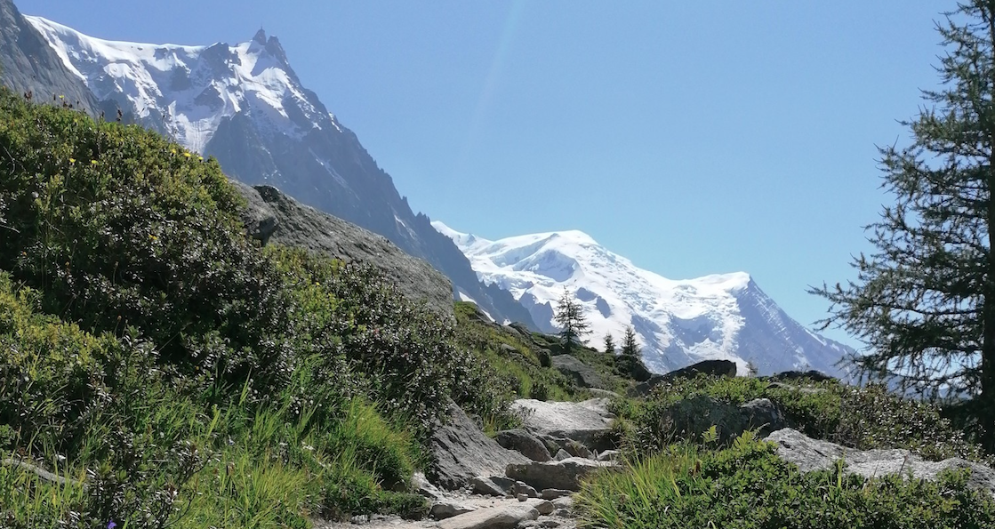
Running on ridges — 10 unforgettable trails near Chamonix
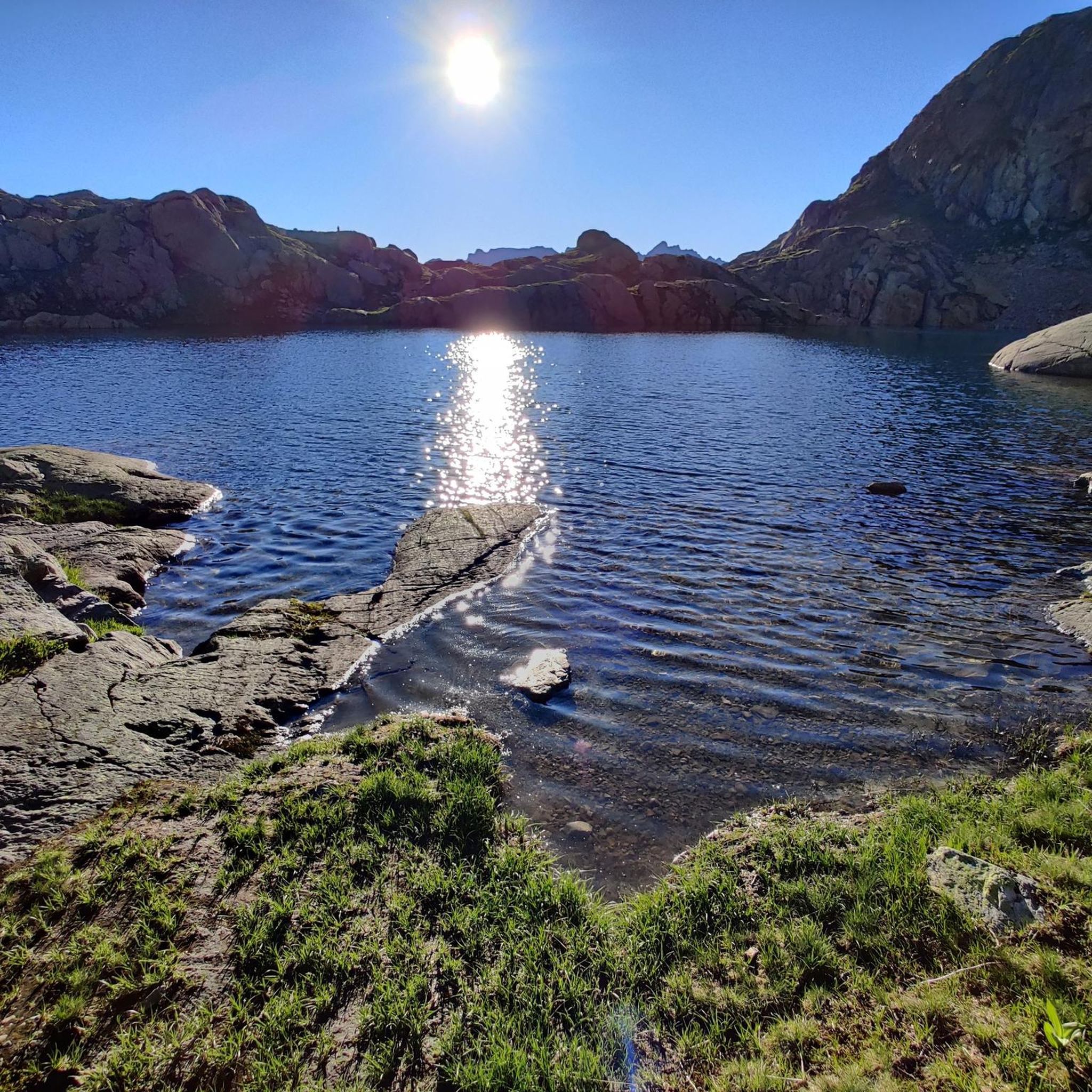
MTB Trails around Réserve naturelle des Aiguilles rouges
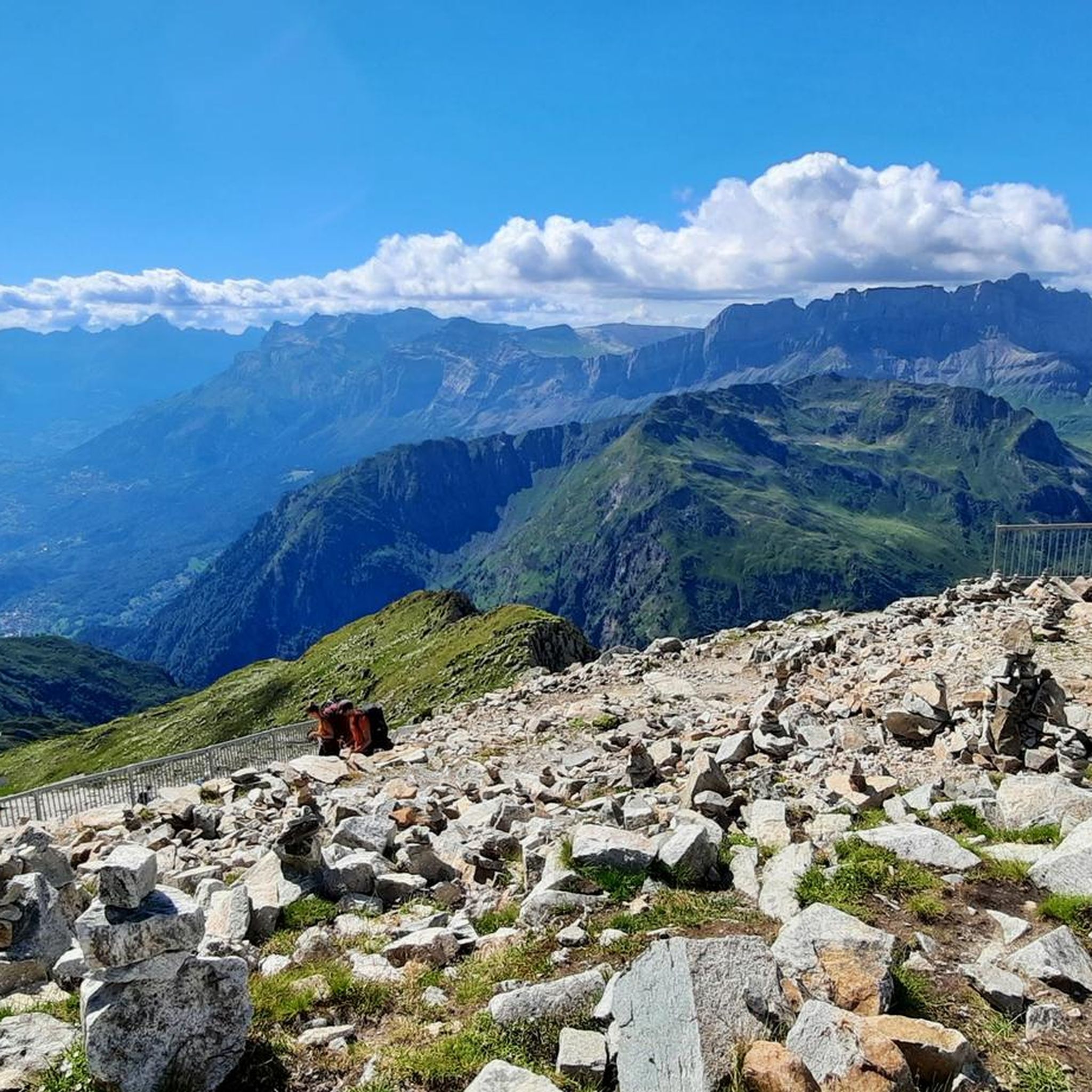
Running Trails around Réserve naturelle des Aiguilles rouges
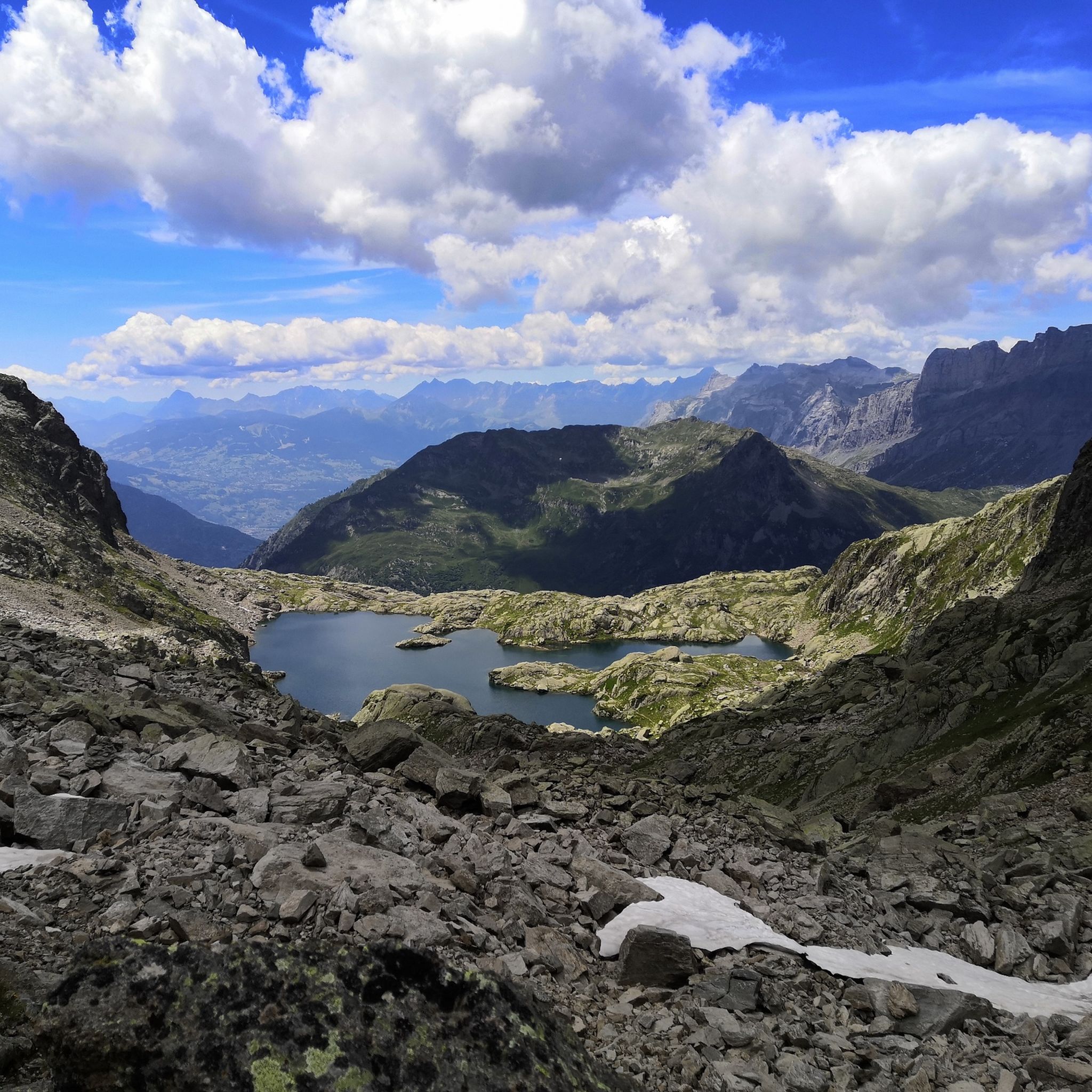
Hiking around Réserve naturelle des Aiguilles rouges
Road Cycling Routes around Réserve naturelle des Aiguilles rouges
Cycling around Réserve naturelle des Aiguilles rouges

Gravel biking around Réserve naturelle des Aiguilles rouges
Other adventures around Réserve naturelle des Aiguilles rouges


Tips from the Community

Located on the edge of a nature reserve, you can only bivouac near the refuge; it is forbidden above. Ask the warden. Dogs and drones are also forbidden in nature reserves.
1
0

a very beautiful via ferrata for everyone, without vertigo
0
0

Ideal place to recharge your batteries
0
0

You can access the Farinet cave by passing behind the waterfall refreshment bar; the route is clear and protected. Then, let yourself be guided by the explanations of the place to discover its history.
0
0

Frequently Asked Questions
How many mountaineering routes are available in Réserve naturelle des Aiguilles rouges?
There are over 80 mountaineering routes in Réserve naturelle des Aiguilles rouges. The majority, 63 routes, are classified as difficult, while 19 are moderate, offering options for various skill levels.
What are some notable natural features or landmarks to see along the mountaineering routes?
The Réserve naturelle des Aiguilles rouges is rich in stunning natural features. You can encounter iconic alpine lakes like Lac Blanc and Lacs des Chéserys, known for their reflective views of the Mont Blanc massif. Other highlights include the impressive Bérard Waterfall and panoramic viewpoints such as View of Mont Blanc from Le Brévent. The region also features dramatic mountain passes like Montets Pass and Col de Salenton.
Are there any circular mountaineering routes in the area?
Yes, the Réserve naturelle des Aiguilles rouges offers several excellent circular routes. A popular choice is the Tour du Pays du Mont-Blanc – Lac Blanc loop from Col des Montets, a challenging 11.2 km route that provides breathtaking views. Another option is the Lac Blanc – Lacs des Chéserys loop from La Joux, a 15.2 km difficult trail through high alpine terrain.
What is the best time of year for mountaineering in Réserve naturelle des Aiguilles rouges?
The best time for mountaineering in Réserve naturelle des Aiguilles rouges is generally during the warmer months, from late spring to early autumn (June to September). During this period, snowmelt allows access to higher trails, and weather conditions are typically more stable. However, always check local weather forecasts and trail conditions before heading out, as alpine weather can change rapidly.
Are there any moderate mountaineering routes suitable for those with good fitness but less technical experience?
Absolutely. While many routes are difficult, there are moderate options available. For example, the Bérard Waterfall – Refuge de la Pierre at Bérard loop from Le Buet is a moderate 11.6 km route that still offers significant elevation gain and beautiful scenery, including the Bérard Waterfall, without the extreme technical demands of some other trails.
What do other mountaineers say about the routes in Réserve naturelle des Aiguilles rouges?
The mountaineering routes in Réserve naturelle des Aiguilles rouges are highly regarded by the komoot community, holding an average rating of 4.8 stars from over 140 reviews. Nearly 2000 mountaineers have explored this varied terrain, often praising the dramatic landscapes, challenging ascents, and unparalleled views of the Mont Blanc massif.
Are there any routes that feature waterfalls?
Yes, you can experience stunning waterfalls on some routes. The Bérard Waterfall – Col de Salenton loop from Le Buet is a challenging 20.4 km route that prominently features the beautiful Bérard Waterfall, offering a rewarding natural spectacle amidst significant elevation gain.
What kind of terrain can I expect on mountaineering routes here?
The terrain in Réserve naturelle des Aiguilles rouges is rugged and varied, characteristic of the French Alps. You can expect significant elevation changes, with routes traversing diverse ecosystems including glacial formations, scree slopes, and verdant alpine meadows. Sure-footedness and good physical condition are essential for navigating these challenging paths.
Are there any routes that offer views of glaciers?
Yes, the region's glacial phenomena are a significant part of its landscape. The Argentière Glacier – Lognan Hut loop from Argentière is a difficult 13.6 km route that provides an opportunity to experience the impressive Argentière Glacier and its surroundings.
What are the typical durations for mountaineering routes in this reserve?
The duration of mountaineering routes in Réserve naturelle des Aiguilles rouges varies significantly based on distance, elevation gain, and difficulty. For example, a difficult route like the Tour du Pays du Mont-Blanc – Lac Blanc loop from Col des Montets typically takes around 5 hours and 52 minutes, while longer, more challenging routes can extend to 7 hours or more.
Is the Réserve naturelle des Aiguilles rouges accessible by public transport?
The Réserve naturelle des Aiguilles rouges is conveniently located near Chamonix, a major hub in the French Alps. While specific route starting points may require local bus services or a short drive, Chamonix itself is well-connected by public transport, making it a popular and accessible base for exploring the reserve.
Most popular routes around Réserve naturelle des Aiguilles rouges
Most popular attractions around Réserve naturelle des Aiguilles rouges

Get inspired with the komoot mobile app


Explore more
Browse the best Mountain Hikes & Routes in other regions.
