The best gravel rides around Réserve Naturelle des Hauts de Villaroger
4.0
(4)
56
riders
9
rides
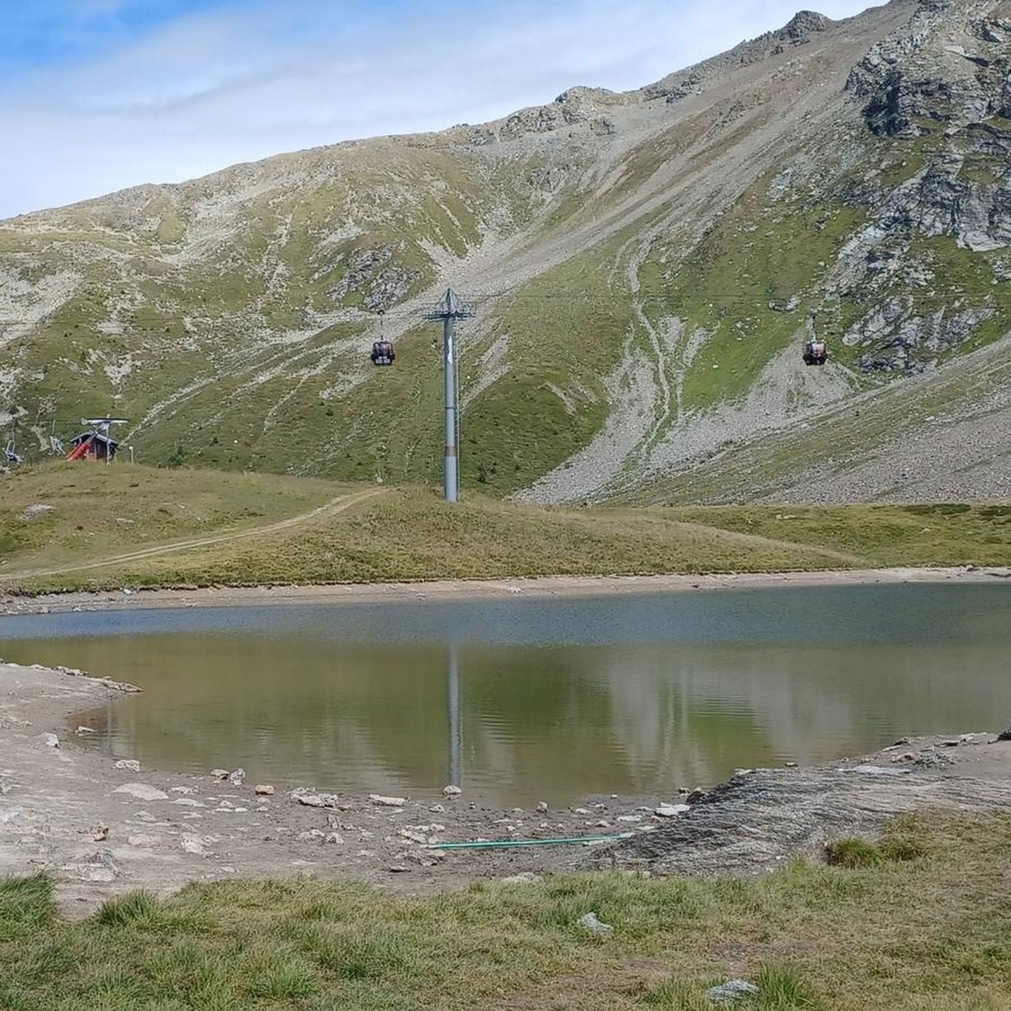
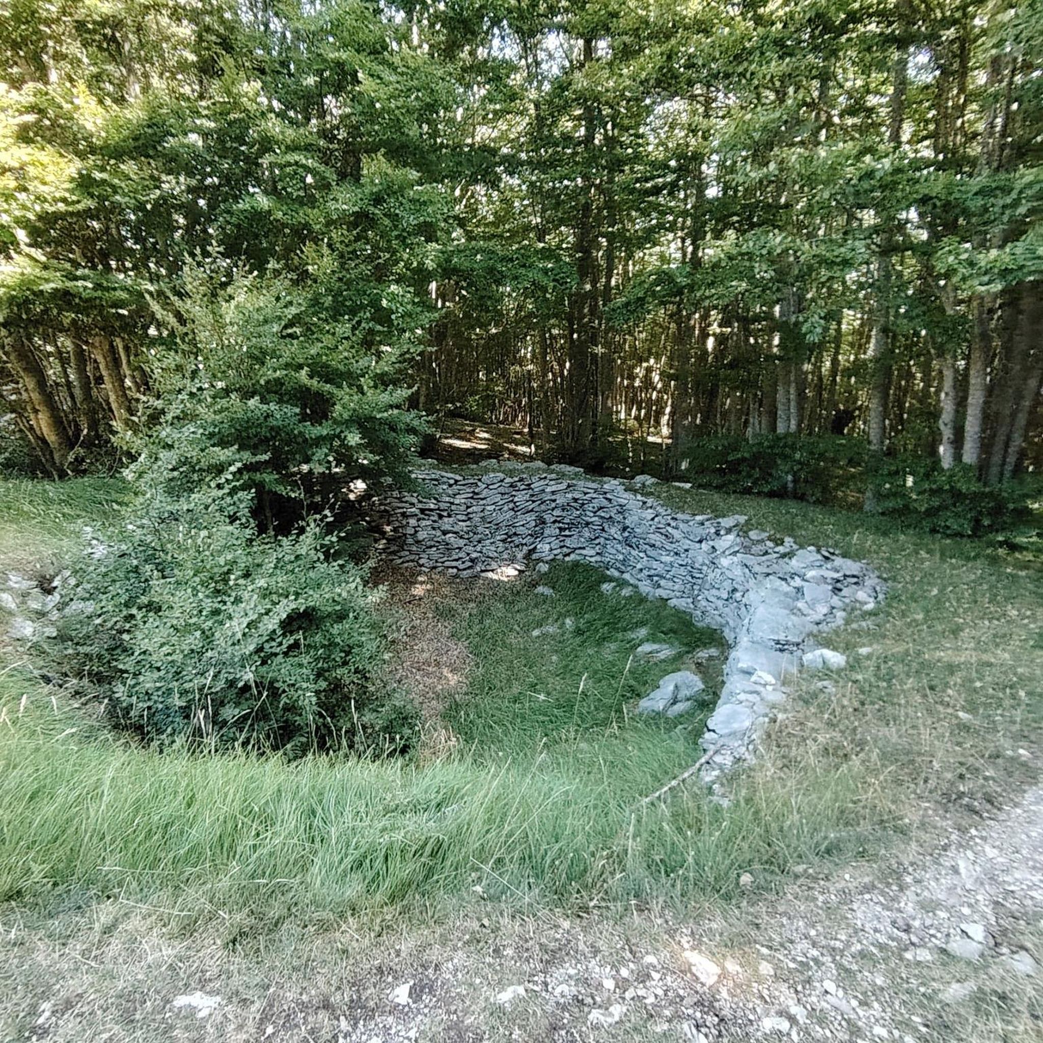
Gravel biking around Réserve Naturelle des Hauts de Villaroger offers diverse terrain within the Haute Tarentaise region of the French Alps. The area features a significant altitudinal range, from dense spruce and larch forests at lower elevations to extensive alpine pastures and high mountain terrain. Numerous streams and two lakes add to the varied landscape, providing a dynamic environment for gravel cycling. The reserve spans 1,062 hectares, with elevations ranging from 1,200 m to 3,650 m, offering varied surfaces for…
Last updated: July 4, 2026
9
riders
61.9km
04:48
1,810m
1,810m
Hard gravel ride. Very good fitness required. Mostly paved surfaces. Suitable for all skill levels.
15
riders
45.1km
04:44
1,890m
1,890m
Hard gravel ride. Very good fitness required. Mostly paved surfaces. Suitable for all skill levels.

Sign up for free
4.0
(2)
12
riders
27.9km
02:08
720m
720m
Hard gravel ride. Very good fitness required. Mostly paved surfaces. Suitable for all skill levels.
4.0
(2)
6
riders
Hard gravel ride. Very good fitness required. Mostly paved surfaces. Suitable for all skill levels.
10
riders
54.3km
04:07
1,530m
1,530m
Hard gravel ride. Very good fitness required. Mostly paved surfaces. Suitable for all skill levels.
Get access to more routes and recommendations from other explorers.
Sign up for free
Already have an account?
Our route recommendations are based on thousands of hikes, rides, and runs completed by other people on komoot.
Start today with a free account
Your next adventure awaits.
Login or Signup
Popular around Réserve Naturelle des Hauts de Villaroger
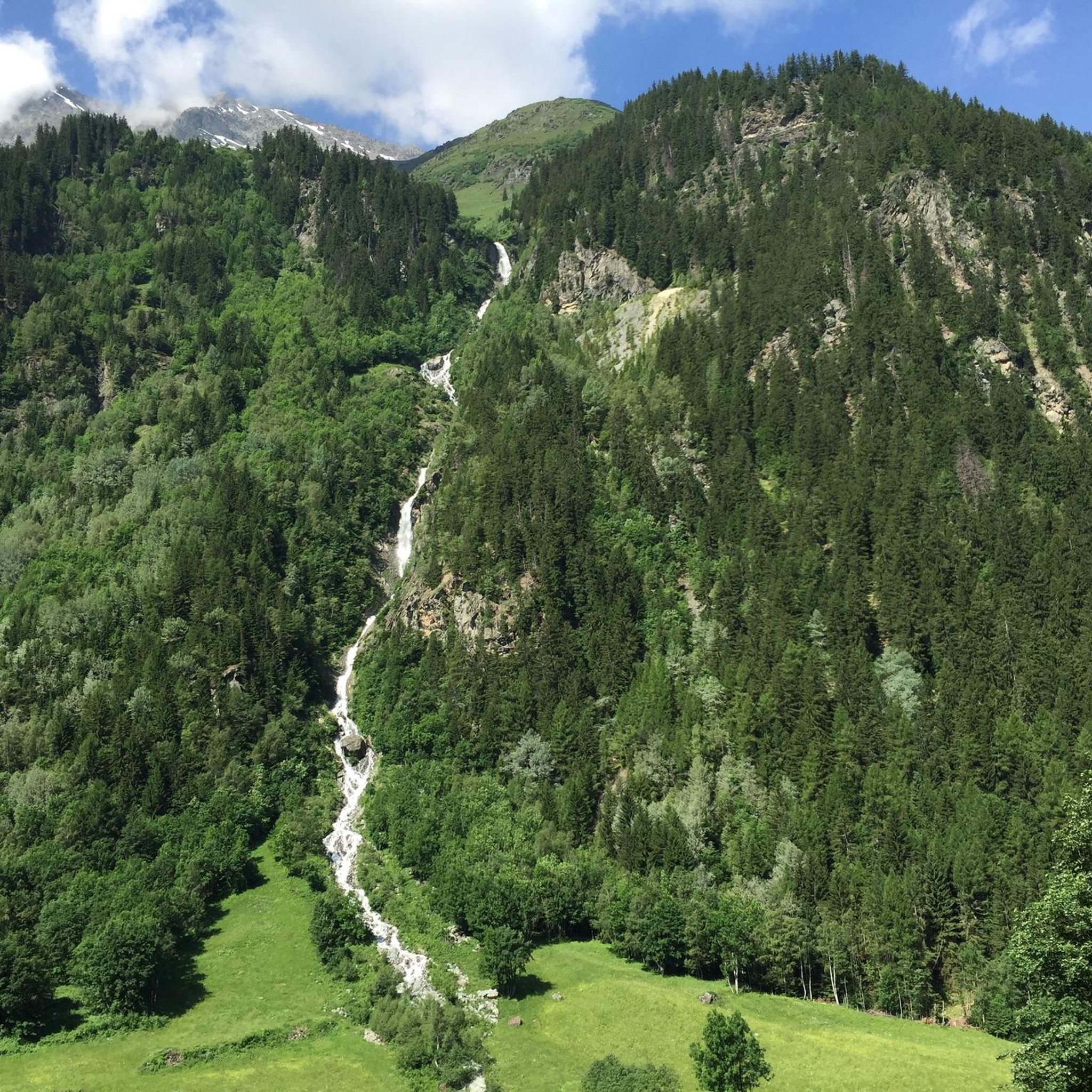
Road Cycling Routes around Réserve Naturelle des Hauts de Villaroger
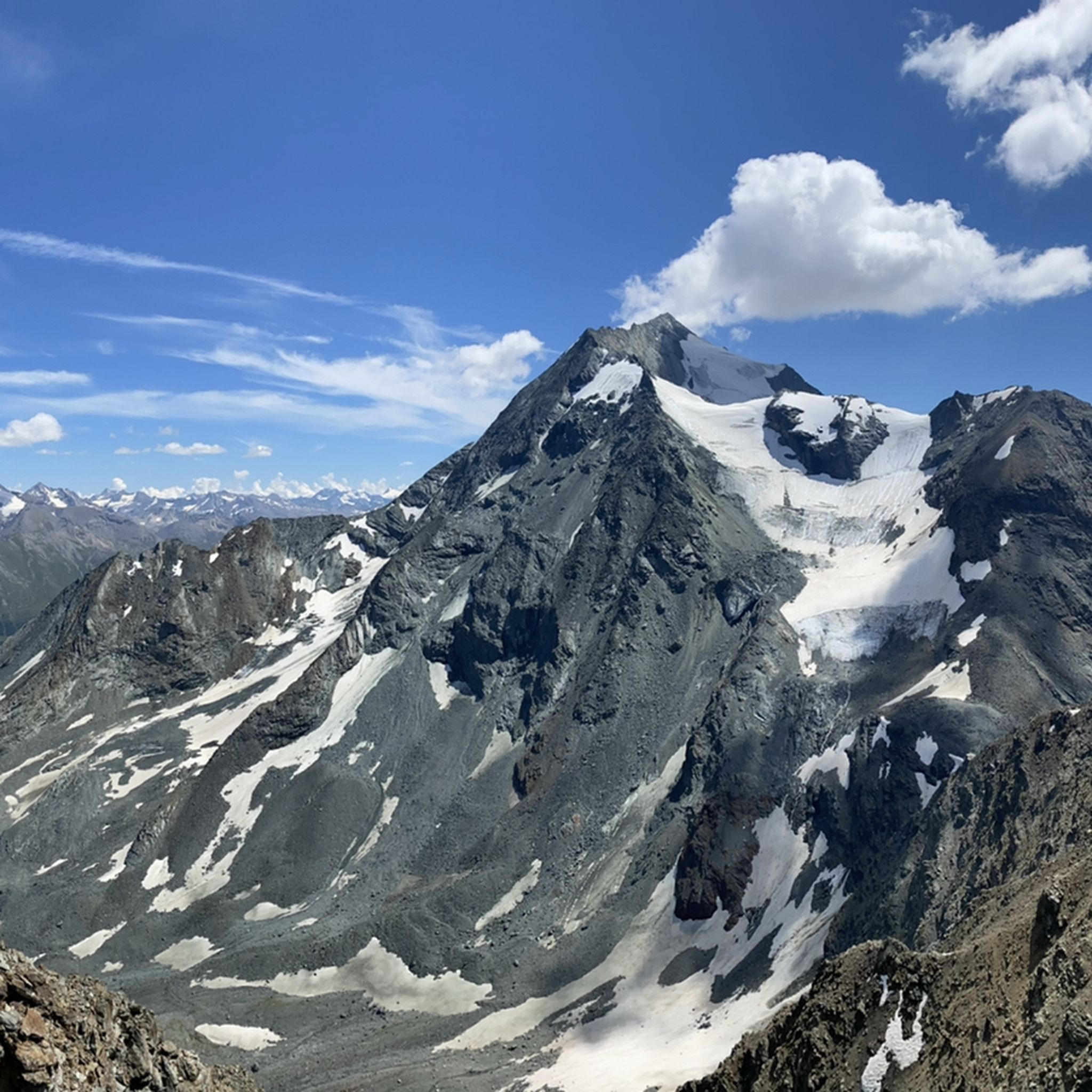
Hiking around Réserve Naturelle des Hauts de Villaroger
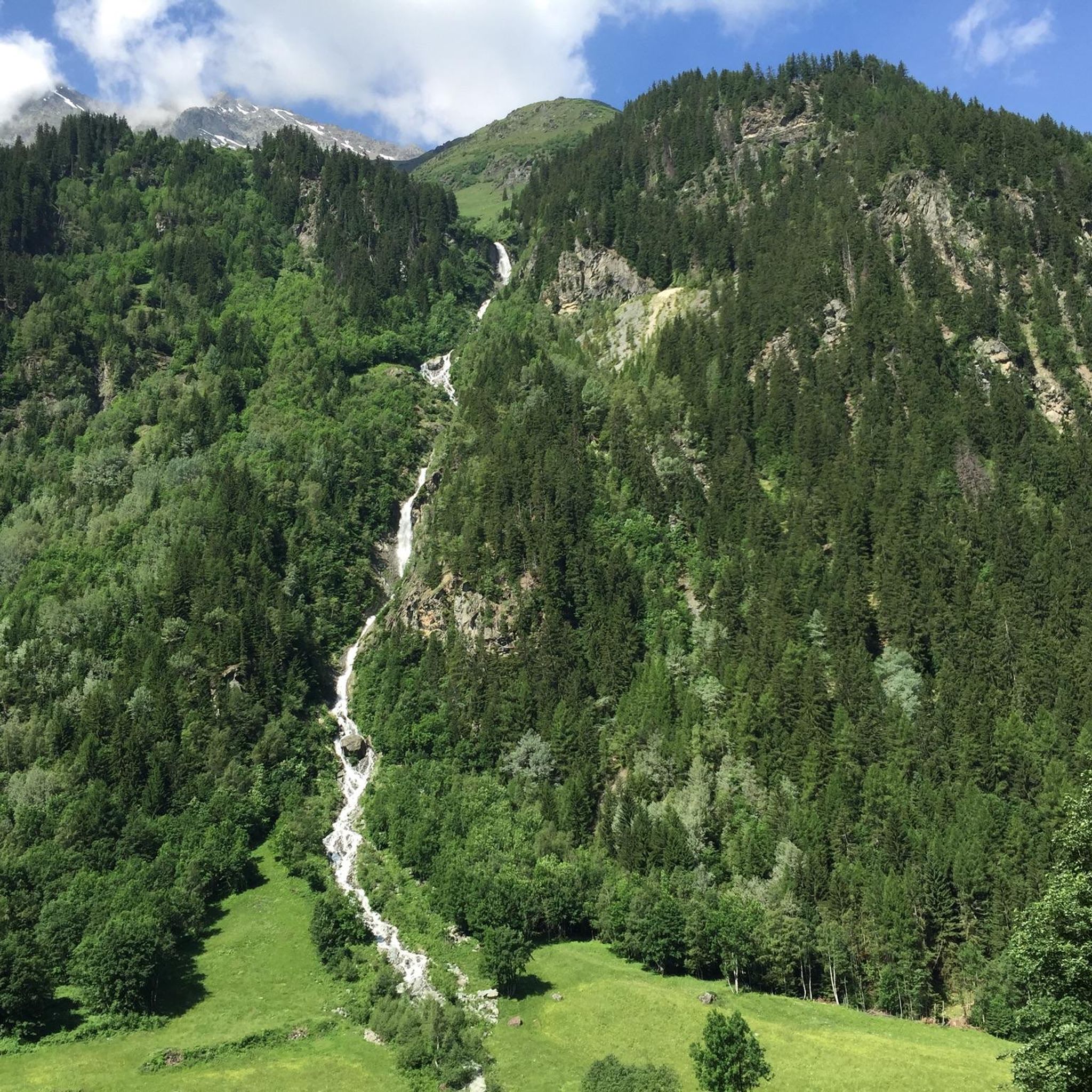
Cycling around Réserve Naturelle des Hauts de Villaroger
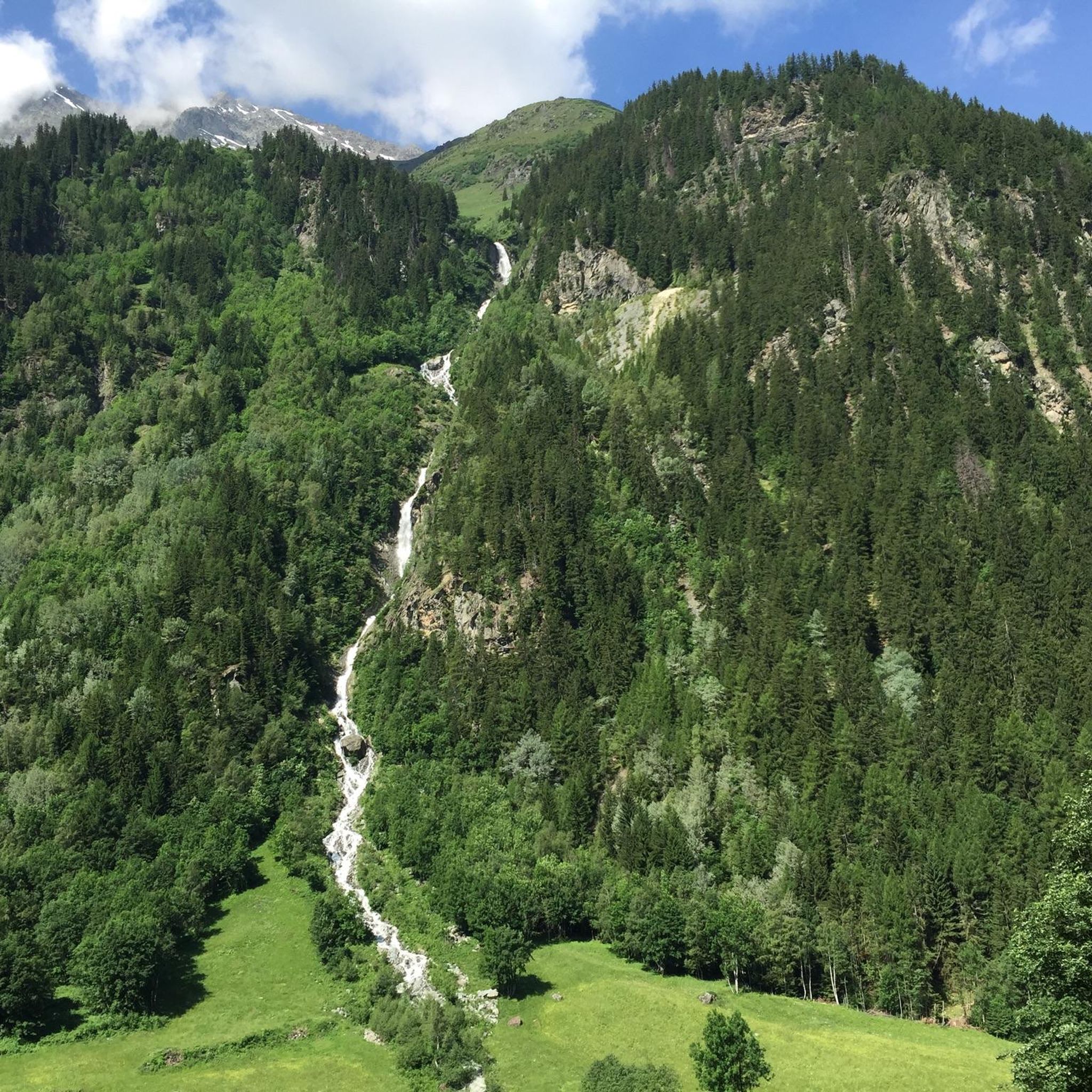
MTB Trails around Réserve Naturelle des Hauts de Villaroger
Running Trails around Réserve Naturelle des Hauts de Villaroger
Mountain Hikes around Réserve Naturelle des Hauts de Villaroger
Tips from the Community

This section is beautiful. If done downhill, you have to consider that the surface is not the best.
0
0

By bike and cable car to Src1600
2
0
Beautiful place of Beaufort cheese, even with a restaurant.
2
0
Frequently Asked Questions
What kind of terrain can I expect when gravel biking in Réserve Naturelle des Hauts de Villaroger?
The Réserve Naturelle des Hauts de Villaroger offers a diverse mix of terrain, ranging from dense spruce and larch forests at lower elevations to expansive alpine pastures and challenging high mountain areas. You'll encounter varied surfaces suitable for gravel bikes, with numerous streams and two small glacial lakes adding to the dynamic landscape.
Are there many gravel biking routes available in the Réserve Naturelle des Hauts de Villaroger?
There are several gravel biking routes available, with komoot listing 8 tours in the area. These routes are generally considered challenging due to significant elevation gains and varied terrain, catering to experienced gravel bikers.
What do other gravel bikers say about the routes in Réserve Naturelle des Hauts de Villaroger?
The gravel biking routes in Réserve Naturelle des Hauts de Villaroger are highly rated by the komoot community, with an average score of 4.5 stars from 3 reviews. Nearly 200 gravel bikers have used komoot to explore the varied terrain, often praising the stunning alpine backdrops and diverse landscapes.
Are there any long-distance gravel routes for an extended ride?
For a longer, more challenging ride, consider The Isère – Fantastic forest road loop from Sainte-Foy-Tarentaise. This route covers 60.9 km with over 1800 meters of elevation gain, offering varied terrain and expansive views of the Tarentaise region.
Can I find routes that offer views of the Les Arcs landscape?
Yes, you can explore routes like View of Les Arcs Landscape – Arc 1950 Mountaineer's Refuge loop from Arc 1800. This 45.1 km route provides impressive panoramas of the surrounding mountains and the Les Arcs ski area.
Are there any shorter, yet still challenging, gravel loops?
For a shorter but still demanding loop, the Arc 1950 Mountaineer's Refuge loop from Arc 1800 is a good option. It's 24.8 km long with over 600 meters of ascent, offering a significant workout in a compact distance.
What kind of natural features or landmarks might I see along the trails?
Gravel bikers can expect to encounter impressive mountainous backdrops dominated by peaks like Mont Turia and Mont Pourri. You'll ride through spruce and larch forests, rhododendron moors, and high-altitude grasslands. The area is also characterized by numerous streams and two glacial lakes, adding to the natural beauty. Keep an eye out for wildlife such as chamois, marmots, and various bird species.
What is the best time of year for gravel biking in this region?
The diverse altitudinal range means conditions vary. Generally, late spring through early autumn offers the most favorable conditions for gravel biking, allowing access to higher alpine pastures. During winter, many trails at higher elevations will be covered in snow, making them unsuitable for gravel bikes.
Are there any regulations I should be aware of when gravel biking in the Réserve Naturelle des Hauts de Villaroger?
As a protected natural reserve, it's important to respect the environment. Stay on marked trails, do not disturb wildlife, and carry out all your waste. Specific regulations regarding cycling access on certain paths may apply, so always observe local signage. For more general information about the reserve, you can visit Wikipedia.
Are there any routes that pass by notable chapels or viewpoints?
Yes, you can find routes that include cultural landmarks and scenic viewpoints. For example, the Chapelle des Vernettes – View of Col d'Entreporte loop from Arc 1800 is a 15.1 km route that takes you past the Chapelle des Vernettes and offers views towards Col d'Entreporte.
What are the typical elevation gains on gravel routes in the Réserve Naturelle des Hauts de Villaroger?
Gravel routes in this region are known for significant elevation gains due to the mountainous terrain. Even shorter routes like the Arc 1950 Mountaineer's Refuge – View of Les Arcs Landscape loop from Arc 1800, which is 24.2 km, can involve nearly 1000 meters of ascent, making them challenging and rewarding.
Most popular routes around Réserve Naturelle des Hauts de Villaroger

Get inspired with the komoot mobile app


Explore more
Browse the best Gravel rides in other regions.
