The best running trails around Réserve Naturelle des Hauts de Villaroger
4.5
(104)
11,580
runners
276
runs
Jogging around Réserve Naturelle des Hauts de Villaroger offers routes through varied alpine landscapes. The region is characterized by high mountain trails, deep valleys, and forested sections, providing diverse terrain for runners. These routes often feature significant elevation changes, traversing both open meadows and more sheltered areas. The natural reserve environment ensures a focus on the region's ecological features.
Best jogging routes around Réserve Naturelle des Hauts de Villaroger
- The most popular jogging route is Lac des Moutons – Col…
Last updated: July 4, 2026
37
runners
Hard run. Very good fitness required. Sure-footedness, sturdy shoes and alpine experience required.
19
runners
12.9km
02:11
610m
610m
Hard run. Very good fitness required. Sure-footedness, sturdy shoes and alpine experience required.

Sign up for free
15
runners
17.4km
02:57
1,110m
1,110m
Hard run. Very good fitness required. Sure-footedness, sturdy shoes and alpine experience required.
14
runners
6.24km
00:51
290m
290m
Moderate run. Good fitness required. Mostly paved surfaces. Suitable for all skill levels.
15
runners
8.41km
01:02
350m
350m
Hard run. Very good fitness required. Mostly paved surfaces. Suitable for all skill levels.
Get access to more routes and recommendations from other explorers.
Sign up for free
Already have an account?
Our route recommendations are based on thousands of hikes, rides, and runs completed by other people on komoot.
Start today with a free account
Your next adventure awaits.
Login or Signup
Popular around Réserve Naturelle des Hauts de Villaroger
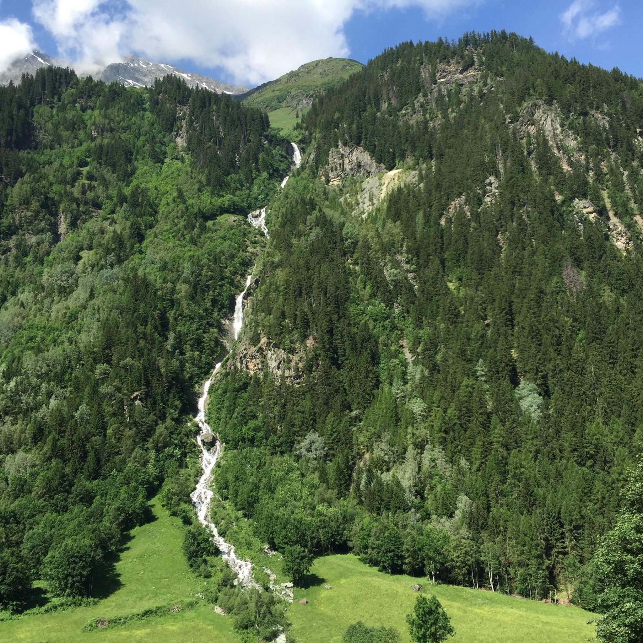
Road Cycling Routes around Réserve Naturelle des Hauts de Villaroger
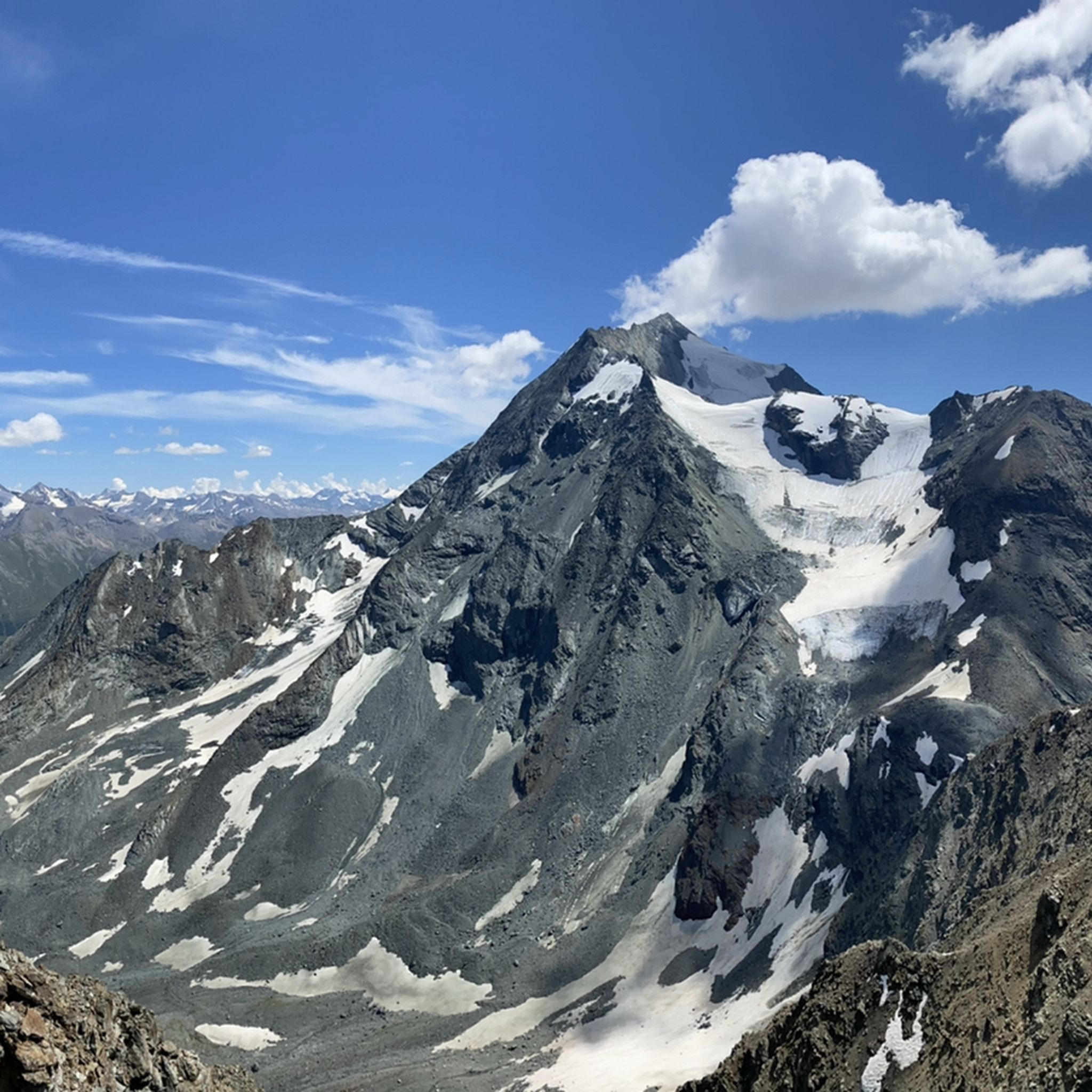
Hiking around Réserve Naturelle des Hauts de Villaroger
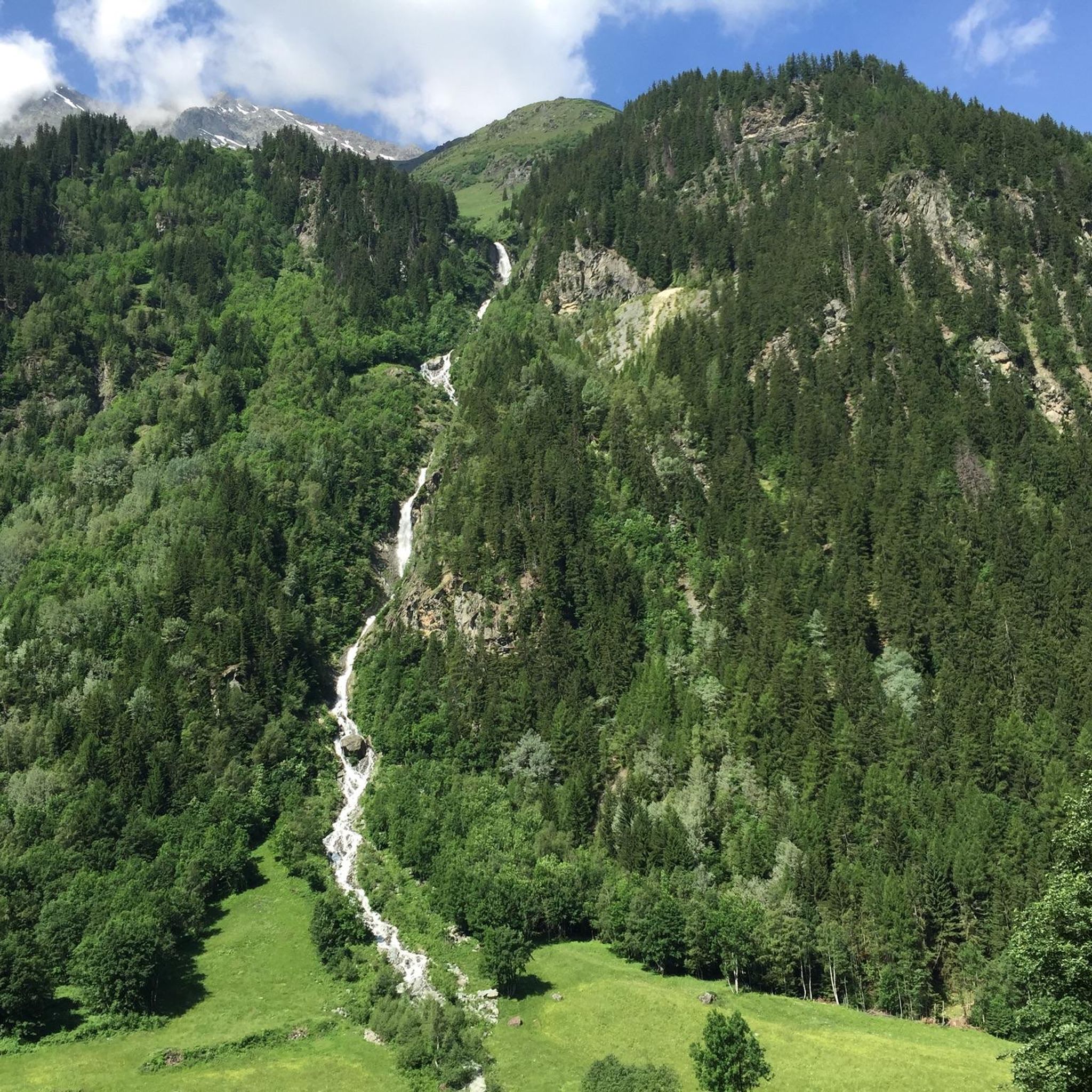
Cycling around Réserve Naturelle des Hauts de Villaroger
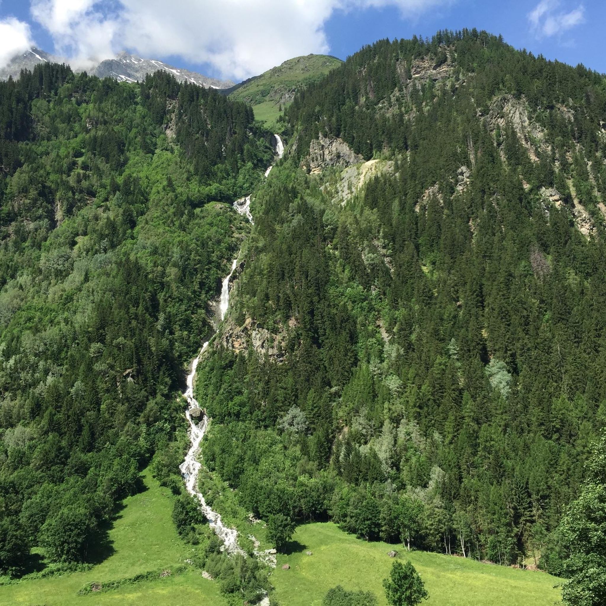
MTB Trails around Réserve Naturelle des Hauts de Villaroger
Mountain Hikes around Réserve Naturelle des Hauts de Villaroger

Gravel biking around Réserve Naturelle des Hauts de Villaroger
Tips from the Community


La Trank's is an easy downhill mountain bike trail, ideal for beginners. It starts at the top of the Transarc gondola, near the Col de la Chal.
0
0
No marked mountain bike route passes by the lake itself, but the Lake District passes above, allowing for a view from a height. Descending there will require some technical skill.
0
0
Nestled at 2,505 meters, Lake Marlou is a splendid mountain biking destination departing from the Arc 2000 resort or the Col de la Chal. The site is a wonderful place to take a break.
0
0
At an altitude of 2,457 meters, the Col de la Chal offers magnificent views, with Mont Blanc towering above the surrounding mountains. Several mountain bike routes pass through here, including the Lake District.
0
0

Perched in the Alps, this viewpoint offers a magnificent panorama of snow-capped mountains, alpine forests and small villages nestled in the valley bottom. The view extends over majestic peaks and green slopes.
1
0


Frequently Asked Questions
How many running routes are available in Réserve Naturelle des Hauts de Villaroger?
There are over 280 running routes documented in the Réserve Naturelle des Hauts de Villaroger, offering a wide variety of terrain and difficulty levels for runners.
Are there easy running routes suitable for beginners in the Réserve Naturelle des Hauts de Villaroger?
Yes, while many routes are challenging, there are 8 easy running routes available. These typically feature less elevation gain and shorter distances, perfect for those new to trail running or looking for a more relaxed jog.
Can I find circular running routes in the Réserve Naturelle des Hauts de Villaroger?
Absolutely. Many of the running paths in the reserve are designed as loops, allowing you to start and finish at the same point. For example, the Le Monal loop from Sainte-Foy-Tarentaise is a popular option that takes you through mountain villages and forested slopes.
What is the best time of year to go jogging in Réserve Naturelle des Hauts de Villaroger?
The best time for jogging in the Réserve Naturelle des Hauts de Villaroger is generally from late spring to early autumn (June to September). During these months, the weather is milder, and the high mountain trails are typically free of snow, offering optimal conditions and stunning alpine scenery.
Are there any family-friendly running trails in the reserve?
While many routes feature significant elevation changes, some of the moderate trails can be suitable for active families. We recommend checking the difficulty and distance of routes like the Running loop from Sainte-Foy-Tarentaise, which offers a manageable distance and elevation for a family outing.
Is it possible to run with dogs on the trails in Réserve Naturelle des Hauts de Villaroger?
The Réserve Naturelle des Hauts de Villaroger is a protected area. While dogs are generally allowed on trails, they must be kept on a leash to protect local wildlife and livestock. Always check specific regulations for each trail or sector within the reserve before heading out with your dog.
Where can I park when accessing the jogging trails?
Parking is typically available at the start points of many routes, especially in or near villages like Sainte-Foy-Tarentaise or Les Arcs / Peisey-Vallandry. Specific parking information is often detailed on individual route pages on komoot, such as for the Lac des Moutons – Col de la Sachette loop.
What do other runners enjoy most about jogging in Réserve Naturelle des Hauts de Villaroger?
The area is highly rated by the komoot community, with an average score of 4.6 stars from over 120 reviews. Runners frequently praise the diverse alpine landscapes, challenging ascents, and the panoramic views offered by routes like the Col de la Chal – Start of the Trank's loop.
Are there any running routes with particularly scenic viewpoints?
Yes, the high mountain trails in Réserve Naturelle des Hauts de Villaroger are renowned for their breathtaking vistas. Many routes, including the Lac des Moutons – Col de la Chal loop, offer expansive views of the surrounding alpine peaks and valleys.
Can I access the running trails using public transport?
Access to some trailheads in the Réserve Naturelle des Hauts de Villaroger is possible via local bus services, particularly those connecting to larger towns or ski resorts like Les Arcs / Peisey-Vallandry or Sainte-Foy-Tarentaise. It's advisable to check seasonal timetables for the most up-to-date information.
Are there options for winter running or jogging in the reserve?
While many high-altitude trails become inaccessible due to snow in winter, some lower-elevation paths or groomed trails in the valleys might be suitable for winter running, often with appropriate gear like trail spikes. Always check local conditions and avalanche warnings before heading out in winter.
Are there places to get refreshments or food near the running routes?
You can often find cafes, restaurants, or small shops in the villages surrounding the reserve, such as Sainte-Foy-Tarentaise or within the Les Arcs / Peisey-Vallandry area. These are good spots to refuel before or after your run, though options might be limited directly on the trails themselves.
Most popular routes around Réserve Naturelle des Hauts de Villaroger

Get inspired with the komoot mobile app


Explore more
Browse the best Running Trails & Routes in other regions.
