Réserve Naturelle des Hauts de Villaroger
Réserve Naturelle des Hauts de Villaroger
The best road cycling routes around Réserve Naturelle des Hauts de Villaroger
4.4
(409)
20,677
riders
57
rides
Road cycling around Réserve Naturelle des Hauts de Villaroger is characterized by mountainous terrain, significant elevation changes, and routes that traverse valleys and climb towards high-altitude passes. The region, part of the Tarentaise Valley in the French Alps, features a mix of open alpine landscapes and forested sections. Road cyclists can expect varied gradients and panoramic views of the surrounding peaks and valleys.
Best road cycling routes around Réserve Naturelle des Hauts de Villaroger
- The most popular road cycling route…
Last updated: July 5, 2026
4.8
(8)
672
riders
73.3km
04:15
1,710m
1,710m
Hard road ride. Very good fitness required. Some segments of this route may be unpaved and difficult to ride.
4.9
(9)
191
riders
41.2km
02:36
1,200m
1,200m
Hard road ride. Very good fitness required. Mostly well-paved surfaces and easy to ride.

Sign up for free
5.0
(1)
11
riders
14.7km
00:55
410m
410m
Moderate road ride. Good fitness required. Mostly well-paved surfaces and easy to ride.
5
riders
Moderate road ride. Good fitness required. Mostly well-paved surfaces and easy to ride.
4.6
(18)
1,069
riders
62.9km
03:42
1,600m
1,600m
Hard road ride. Very good fitness required. Mostly well-paved surfaces and easy to ride.
Get access to more routes and recommendations from other explorers.
Sign up for free
Already have an account?
Our route recommendations are based on thousands of hikes, rides, and runs completed by other people on komoot.
Start today with a free account
Your next adventure awaits.
Login or Signup
Popular around Réserve Naturelle des Hauts de Villaroger
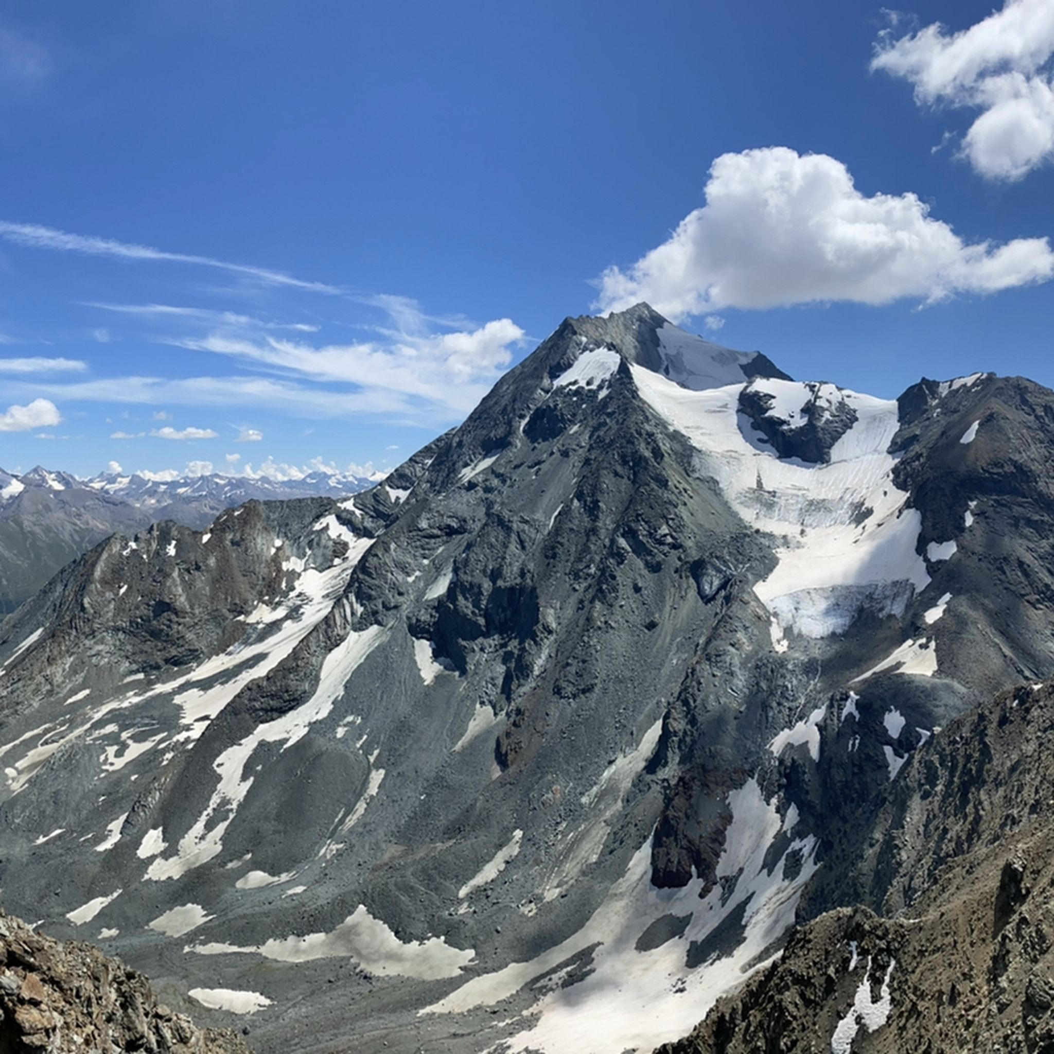
Hiking around Réserve Naturelle des Hauts de Villaroger
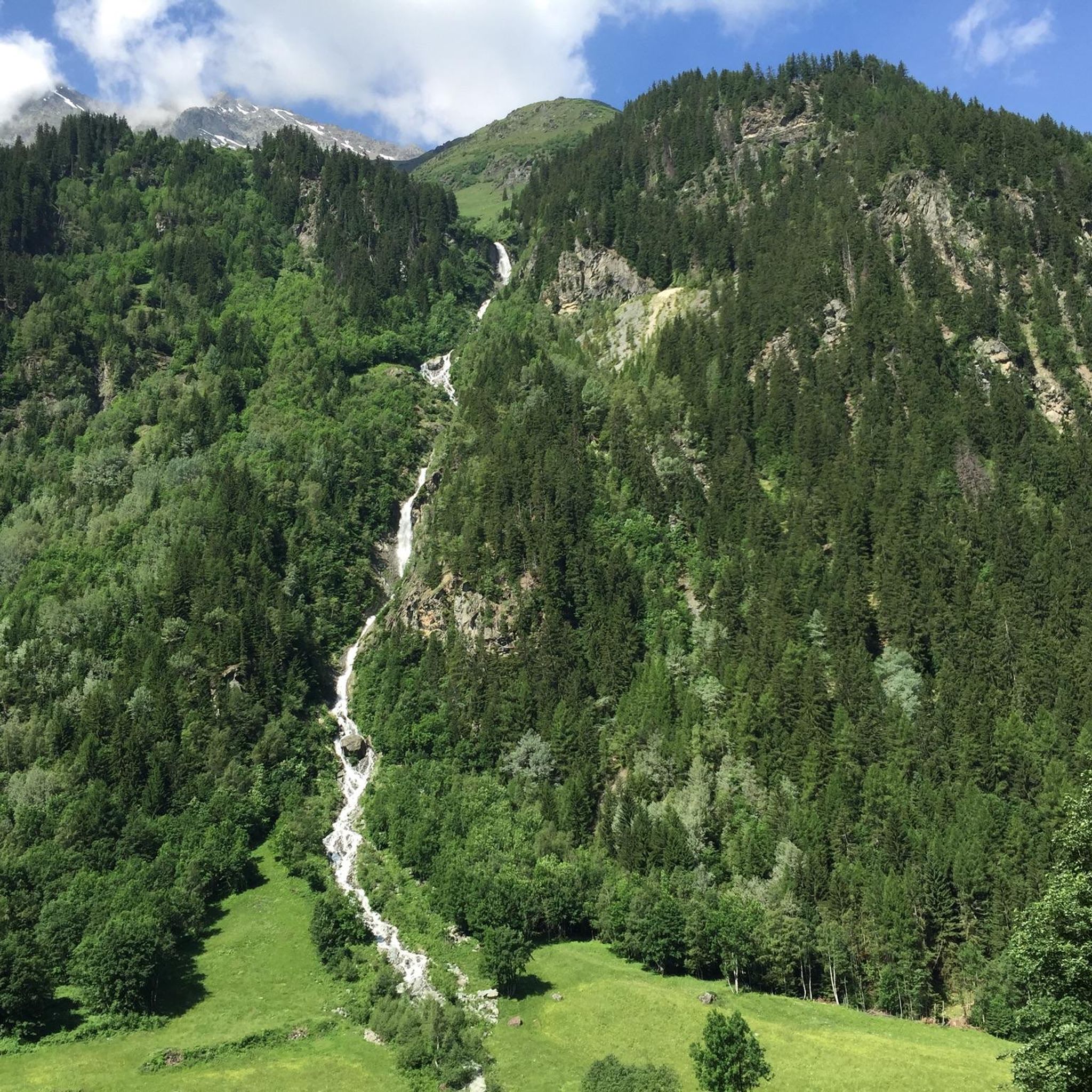
Cycling around Réserve Naturelle des Hauts de Villaroger
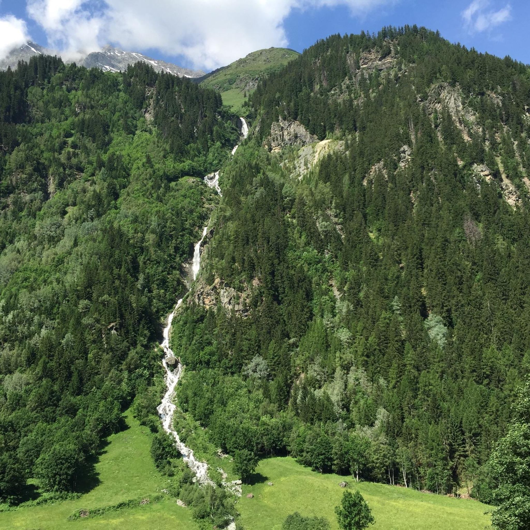
MTB Trails around Réserve Naturelle des Hauts de Villaroger
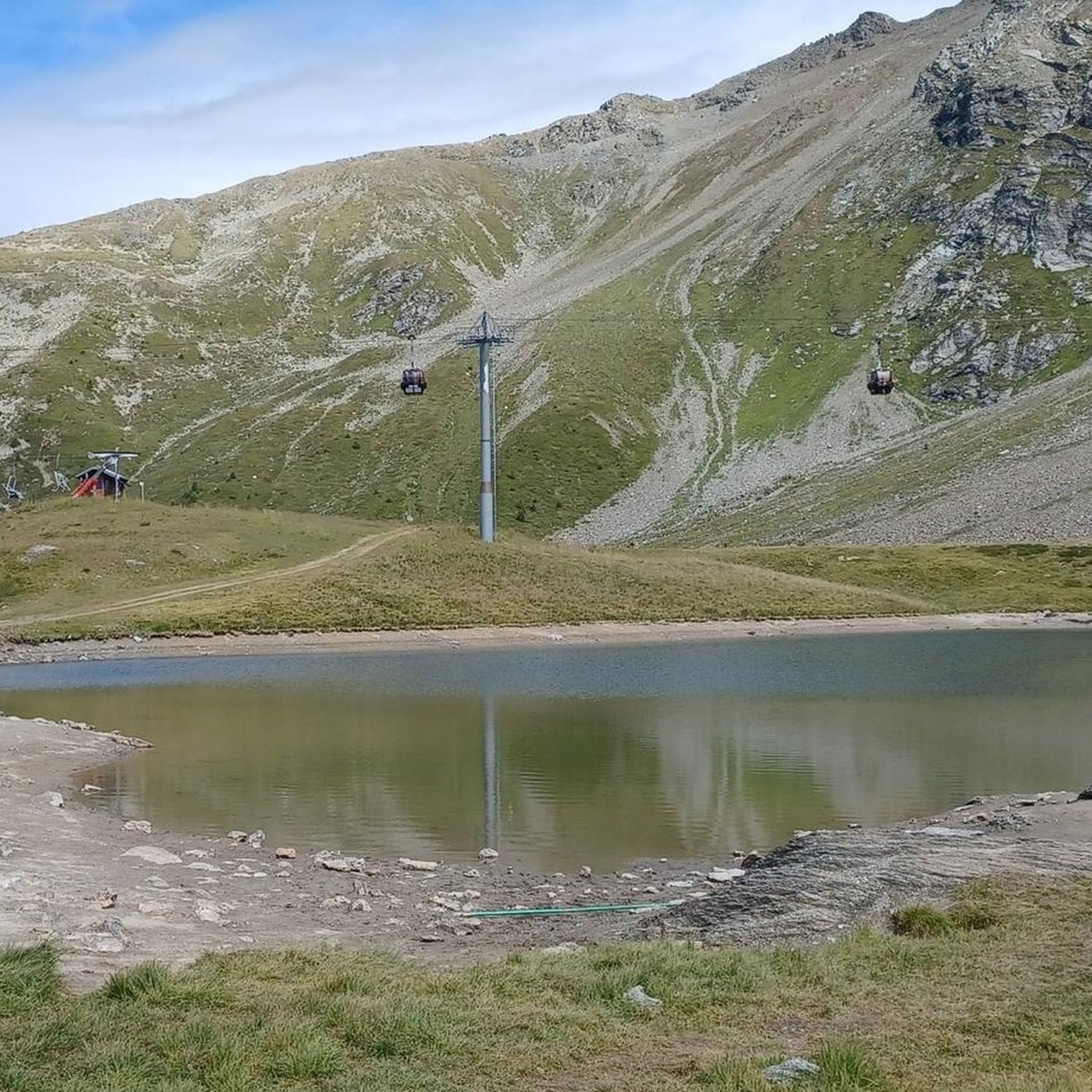
Running Trails around Réserve Naturelle des Hauts de Villaroger
Mountain Hikes around Réserve Naturelle des Hauts de Villaroger

Gravel biking around Réserve Naturelle des Hauts de Villaroger
Tips from the Community

Cycle path in perfect condition.
0
0
This section is beautiful. If done downhill, you have to consider that the surface is not the best.
0
0
It allows you to go from Bourg Saint-Maurice to Moutiers away from the road except for two points.
0
0

I only posted a photo of the roundabout, which shows the "door to the Little St Bernard Pass", nothing else. If you have a problem with that, I can't help it.
0
1

Small village on the road to Val d'Isere.
1
0
This is a nice idea for the ascent.
1
0
Cycle path along the Isere.
2
0
Frequently Asked Questions
How many road cycling routes are available in Réserve Naturelle des Hauts de Villaroger?
There are over 60 road cycling routes in and around Réserve Naturelle des Hauts de Villaroger, catering to various skill levels. You'll find a mix of easy, moderate, and challenging options to explore the mountainous terrain.
Are there any easy road cycling routes suitable for beginners or families?
Yes, the region offers several easier routes. For a moderate option that still provides scenic views without extreme difficulty, consider the Châtelard Church – Route Rose de Larcajire loop from Sainte-Foy-Tarentaise, which is about 11.7 miles (18.9 km) long. While the area is generally mountainous, some valley sections offer gentler gradients.
What are some challenging road bike climbs in Réserve Naturelle des Hauts de Villaroger?
The Réserve Naturelle des Hauts de Villaroger region, being part of the French Alps, is known for its demanding climbs. A particularly challenging route is the Route Rose de Larcajire – La Rosière loop from Sainte-Foy-Tarentaise, spanning 28.6 miles (46.0 km) with significant elevation gain, offering a true alpine cycling experience.
What is the best time of year for road cycling in Réserve Naturelle des Hauts de Villaroger?
The best time for road cycling in Réserve Naturelle des Hauts de Villaroger is typically from late spring (May/June) through early autumn (September/October). During these months, the weather is generally more stable, and mountain passes are clear of snow, offering pleasant temperatures and stunning views. Summer can be warm, especially in the valleys, while spring and autumn provide cooler rides and vibrant landscapes.
Are there any loop road bike trails in the area?
Yes, many routes in the region are designed as loops, allowing you to start and finish at the same point. For example, the Isère – Sainte-Foy-Tarentaise loop from Sainte-Foy-Tarentaise is a popular 14.3 miles (23.0 km) loop that takes you through the scenic Isère river valley.
Where can I find parking for road biking near Réserve Naturelle des Hauts de Villaroger?
Parking is generally available in the main villages and towns surrounding the Réserve Naturelle des Hauts de Villaroger, such as Sainte-Foy-Tarentaise, which serves as a common starting point for many routes. Look for designated public parking areas, often near tourist information centers or village squares.
Is public transport available to access road bike trails in Villaroger?
Access to the Réserve Naturelle des Hauts de Villaroger area is primarily via regional bus services that connect the Tarentaise Valley villages. While some services might allow bikes, it's advisable to check specific schedules and bike carriage policies with local transport providers, especially during peak seasons. Many cyclists prefer to drive to a starting point and park.
What do other road cyclists enjoy most about road cycling in Réserve Naturelle des Hauts de Villaroger?
The area is highly rated by the komoot community, with an average score of 4.4 stars from over 400 reviews. Cyclists frequently praise the region's diverse terrain, from challenging alpine climbs to scenic valley roads, and the panoramic views of the surrounding French Alps. The well-maintained routes and the sense of accomplishment after tackling the ascents are also often highlighted.
Are there any routes that offer particularly scenic viewpoints?
Given the mountainous nature of the Réserve Naturelle des Hauts de Villaroger, many routes offer breathtaking scenic viewpoints. Routes that climb towards higher altitudes, such as the Route Rose de Larcajire – La Rosière loop, provide expansive vistas of the Tarentaise Valley and surrounding peaks. Even moderate routes often feature stunning glimpses of alpine landscapes and traditional villages.
Are there any less crowded road bike trails in the Réserve Naturelle des Hauts de Villaroger area?
While popular routes can see more traffic, especially during peak season, exploring some of the slightly longer or less-known loops can offer a more tranquil experience. The Fantastic forest road – Isère Cycle Path loop from Sainte-Foy-Tarentaise, a longer 44.9 miles (72.2 km) route, might provide more solitude compared to shorter, more accessible options, allowing you to immerse yourself in the natural surroundings.
Are there cafes or places to stop for refreshments along the road cycling routes?
Yes, many of the road cycling routes pass through or near charming alpine villages where you can find cafes, bakeries, and small restaurants. These are perfect for a quick coffee, a pastry, or a more substantial meal. Planning your route to include stops in villages like Sainte-Foy-Tarentaise or other hamlets along the Isère valley will ensure you have opportunities for refreshments.
What should I wear for road biking in Réserve Naturelle des Hauts de Villaroger?
Due to the significant elevation changes and alpine climate, layering is key. Even on a warm day, temperatures can drop considerably at higher altitudes or during descents. Essential gear includes a good quality cycling jersey, padded shorts, arm and leg warmers, a windproof gilet or jacket, gloves, and sunglasses. Always carry a rain jacket, as mountain weather can change rapidly.
Most popular routes around Réserve Naturelle des Hauts de Villaroger

Get inspired with the komoot mobile app


Explore more
Browse the best Road cycling routes in other regions.
