The best gravel rides around Bachfeld
4.9
(11)
41
riders
4
rides
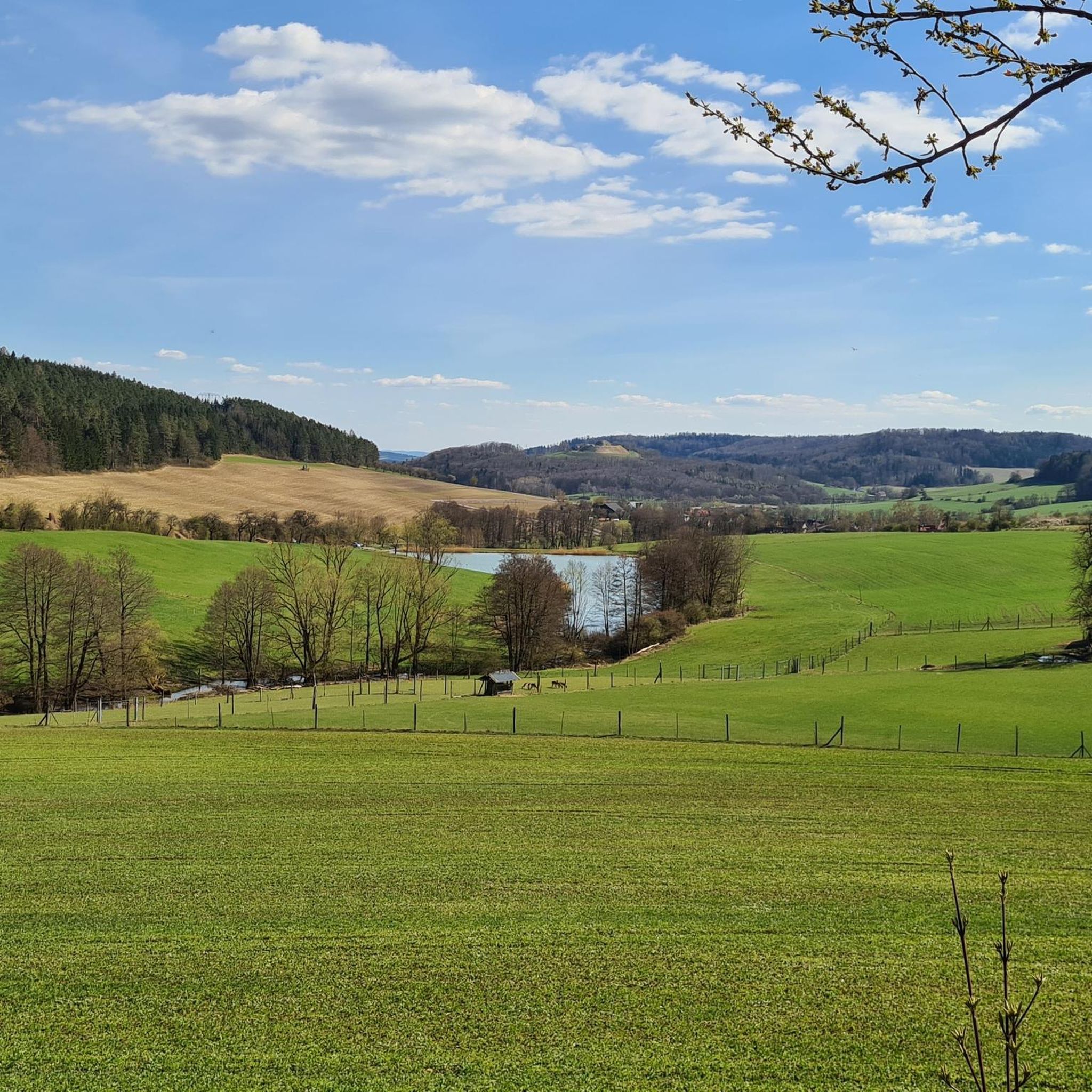
Gravel biking around Bachfeld offers a network of routes through varied terrain. The region is characterized by rolling hills, natural springs, and a mix of open landscapes and forested paths. These gravel bike trails provide opportunities to explore the countryside, connecting natural landmarks with local points of interest. The elevation changes across the routes indicate a dynamic environment suitable for gravel cycling.
Best gravel bike trails around Bachfeld
- The most popular gravel bike trail is Werra Spring Hut – Werra…
Last updated: July 2, 2026
5.0
(1)
9
riders
18.4km
01:08
180m
180m
Moderate gravel ride. Good fitness required. Mostly paved surfaces. Suitable for all skill levels.
4.4
(5)
14
riders
Moderate gravel ride. Good fitness required. Mostly paved surfaces. Suitable for all skill levels.

Sign up for free
4
riders
28.3km
01:51
470m
470m
Hard gravel ride. Very good fitness required. Mostly paved surfaces. Suitable for all skill levels.
5.0
(1)
6
riders
28.7km
01:43
380m
380m
Moderate gravel ride. Good fitness required. Mostly paved surfaces. Suitable for all skill levels.
5.0
(3)
5
riders
33.0km
01:58
400m
400m
Moderate gravel ride. Good fitness required. Mostly paved surfaces. Suitable for all skill levels.
Our route recommendations are based on thousands of hikes, rides, and runs completed by other people on komoot.
Start today with a free account
Your next adventure awaits.
Login or Signup
Tips from the Community

Friedrichshöhe is situated on a high plateau in the Thuringian Slate Mountains, north of Eisfeld and southeast of Masserberg on the Rennsteig hiking trail. The village lies amidst mountain meadows, surrounded by forests at an altitude of 800 meters above sea level. It is accessible via a road leading to the B281 federal highway.
11
0

The town is undergoing a lot of modernization. There's a large Edeka supermarket nearby, but otherwise, there are few shopping options. The market is mostly just a parking lot, so the quality of the place is rather poor.
0
3
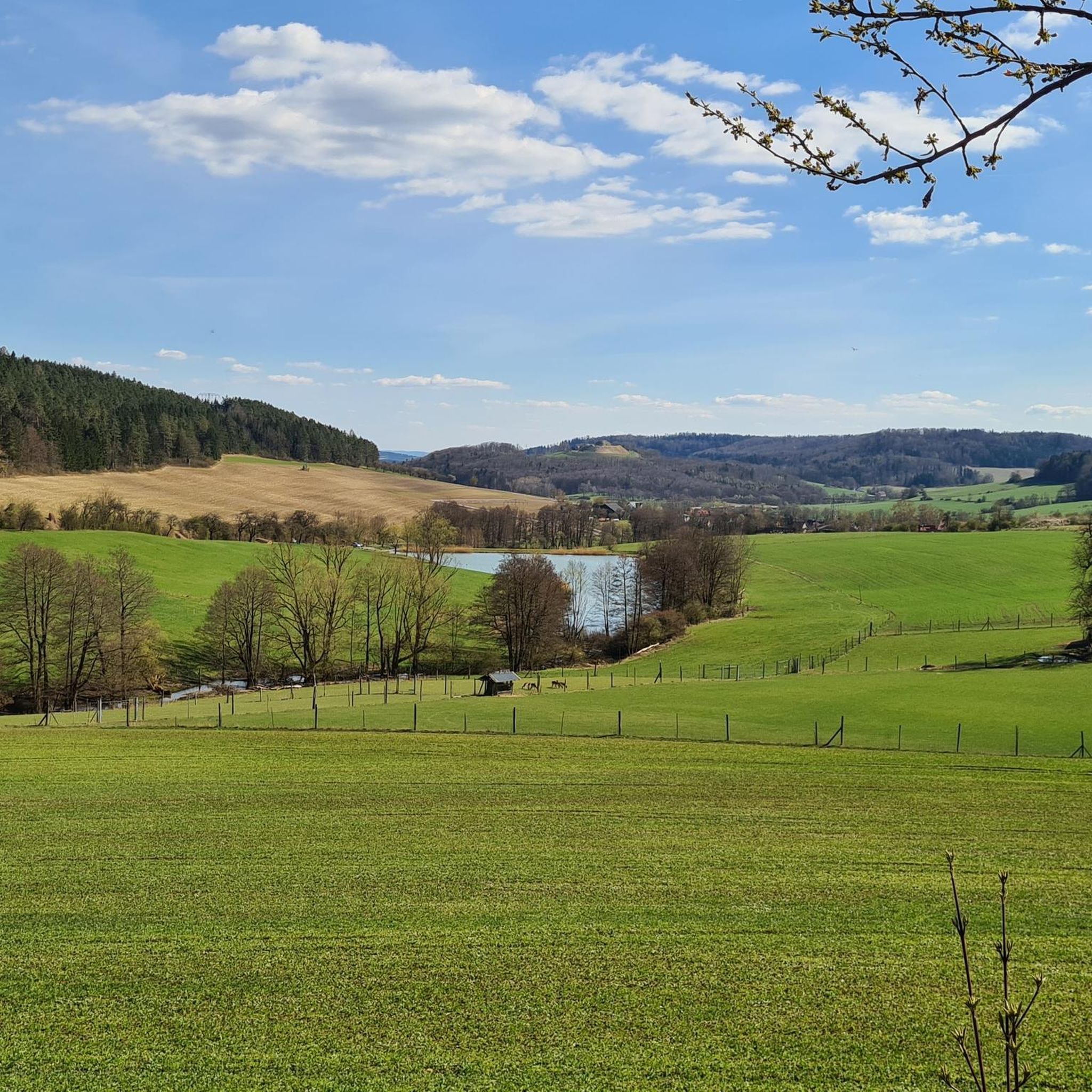
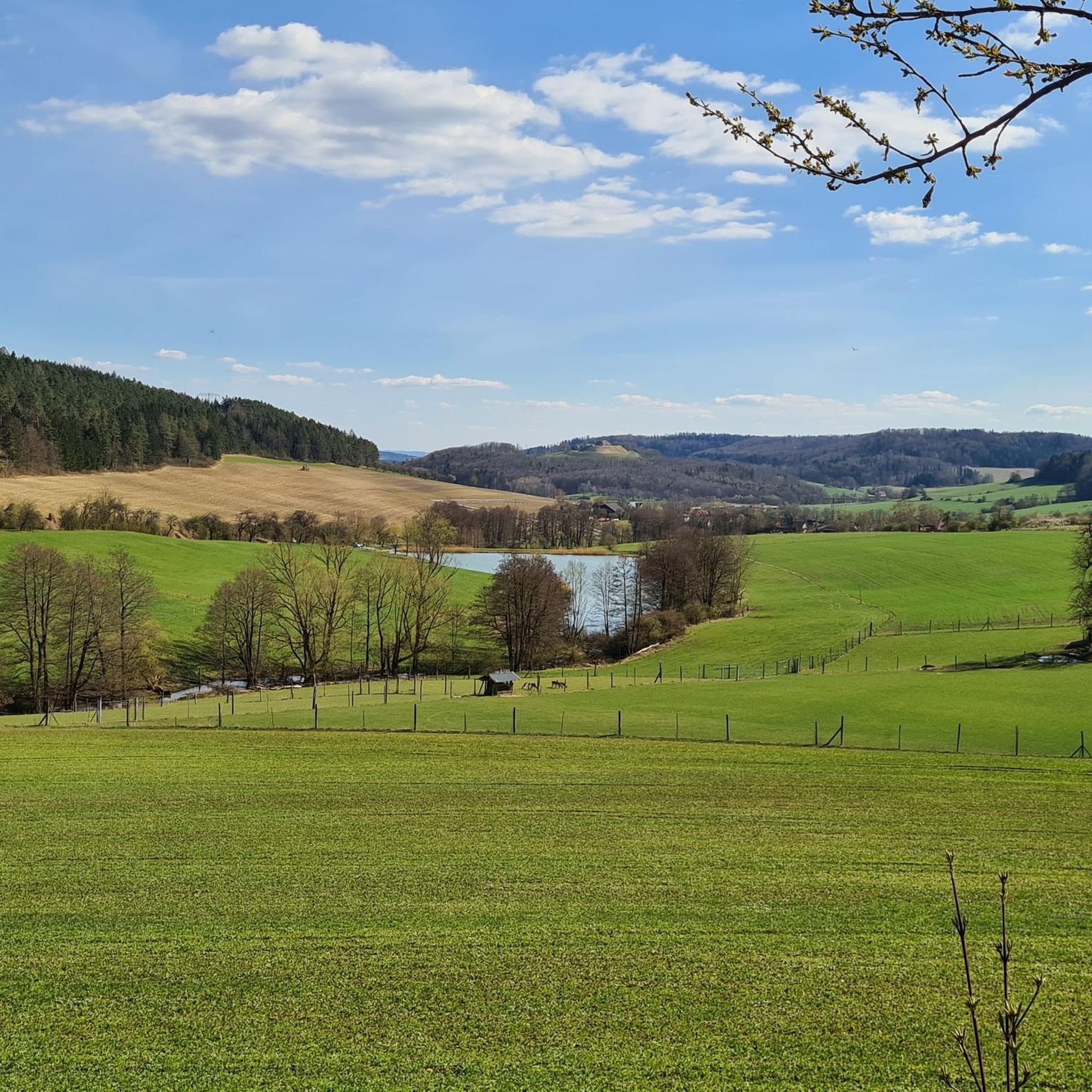
A very pleasant bike path that's also wide enough. The views of the countryside are beautiful.
0
0

Beautiful forest path lets you roll to Sachsenbrunn 😃🚵♂️👍
1
0

Great landscape, with forest and views!
0
0
From the Heidehütte on the Rennsteig, past the mountain hut to the Eisfelder Ausspanne, it's rolling. 🚵👍😉 Great!
3
0

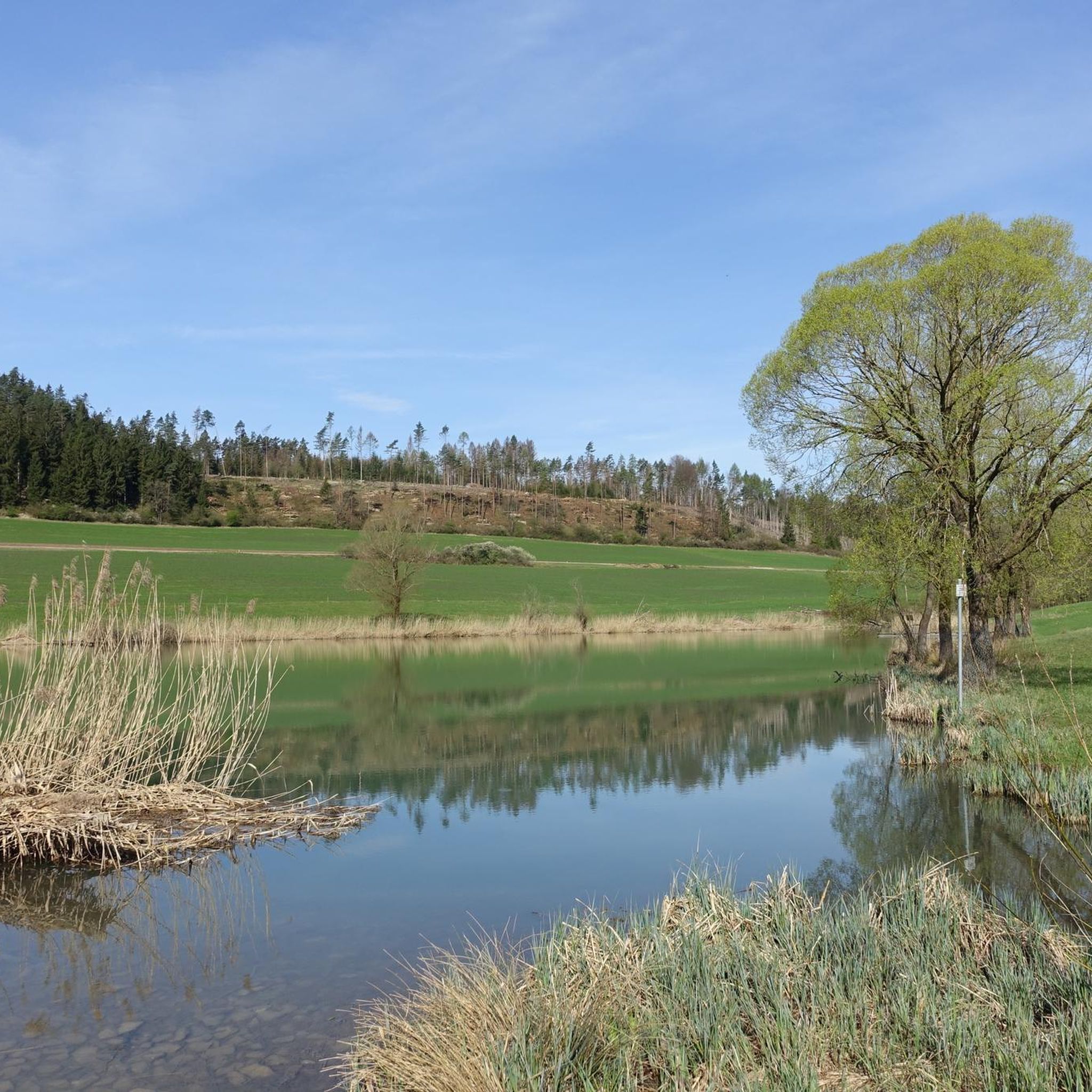
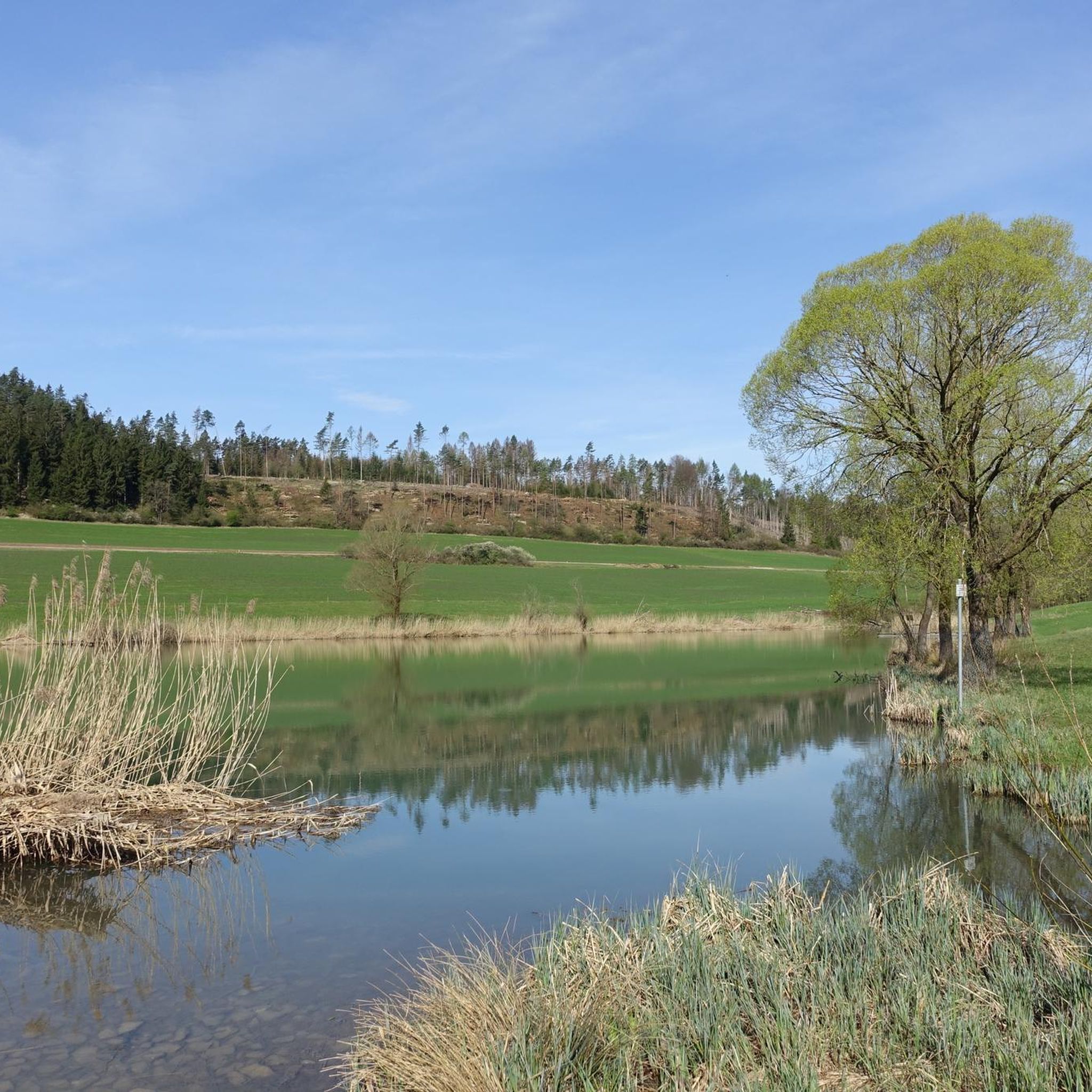
The Werra River has not one, but two sources. While the "rear source" is located at this highlight, the so-called "front source" is located near Fehrenbach. The source was first tapped in 1909. Further information can be found on the information boards on site.
0
0
Frequently Asked Questions
How many gravel bike trails are available around Bachfeld?
There are over 6 gravel bike routes documented around Bachfeld on komoot, offering a variety of experiences through the region's rolling hills and forested paths.
What kind of terrain can I expect on gravel bike trails in Bachfeld?
The gravel bike trails around Bachfeld are characterized by rolling hills, natural springs, and a mix of open landscapes and forested paths. You'll encounter dynamic environments with elevation changes, suitable for gravel cycling.
Are there challenging gravel bike routes for experienced riders?
Yes, for experienced riders seeking a challenge, there are 2 difficult gravel routes available. One notable option is the Werra Spring Fehrenbach – Werra Spring Hut loop from Sachsenbrunn, which covers 17.6 miles (28.3 km) with significant elevation changes.
Are there circular gravel bike routes in Bachfeld?
Many of the gravel bike routes in Bachfeld are designed as loops, allowing you to start and end at the same point. For example, the popular Werra Spring Hut – Werra Spring Fehrenbach loop from Friedrichshöhe is a moderate 11.4-mile (18.4 km) circular trail.
What are some longer gravel biking options in the Bachfeld area?
If you're looking for longer rides, consider the Heßberg Brewery in Veilsdorf – Rodachaue Viewing Tower loop from Veilsdorf, which is a moderate 25.8 miles (41.5 km) path. Another option is the Werra Spring Fehrenbach – Werra Spring Hut loop from Bockstadt, covering 32.7 km.
What scenic viewpoints or landmarks can I discover on gravel bike trails near Bachfeld?
Several routes offer scenic views and pass by interesting landmarks. The Heßberg Brewery in Veilsdorf – Rodachaue Viewing Tower loop from Veilsdorf features the Rodachaue Viewing Tower. You can also explore natural springs like the Werra Spring Fehrenbach and the Werra Spring (Upper Werra Spring), which are central to many routes.
Are there any historical sites or castles near the gravel routes?
Yes, the region around Bachfeld is home to several historical castles. While not directly on every gravel route, you can find highlights like the Lauterburg Ruins, Eisfeld Castle, and Schaumburg Castle Ruins nearby, offering interesting detours or points of interest for exploration.
Can I find cafes or places to stop for refreshments along the gravel routes?
One route, the Heßberg Brewery in Veilsdorf – Rodachaue Viewing Tower loop from Veilsdorf, passes by a local brewery, offering a potential stop. For other routes, it's advisable to check komoot's highlight feature for cafes or restaurants in towns along your chosen path.
Are the gravel bike trails around Bachfeld suitable for riding with dogs?
While specific dog-friendly regulations vary, many gravel trails in natural settings are suitable for well-behaved dogs on a leash. Given the forested paths and open landscapes, these routes can be enjoyable for you and your canine companion. Always ensure your dog is comfortable with the distance and terrain, and check local signage for any restrictions.
What do other gravel bikers enjoy the most about gravel biking in Bachfeld?
The gravel biking experience in Bachfeld is highly rated by the komoot community, with an average score of 4.7 stars from over 10 reviews. Riders often praise the varied terrain, the exploration of natural springs, and the connection between natural landmarks and local points of interest.
Are there gravel bike trails in Bachfeld with good parking access?
Many of the gravel routes around Bachfeld start from towns or villages such as Friedrichshöhe, Veilsdorf, Sachsenbrunn, Eisfeld, and Bockstadt. These starting points typically offer parking facilities, making it convenient to access the trails. It's always a good idea to check specific parking options for your chosen starting location.
Most popular routes around Bachfeld
Most popular attractions around Bachfeld

Get inspired with the komoot mobile app


Explore more
Browse the best Gravel rides in other regions.
