The best gravel rides around Burgsalach
4.4
(196)
1,078
riders
51
rides
Gravel biking around Burgsalach offers diverse terrain within the Altmühltal Nature Park. The region is characterized by rolling hills, river valleys like the Anlauter and Thalach, and extensive forest paths. Elevations are generally moderate, providing a mix of challenging climbs and scenic, flatter sections suitable for gravel riding. The landscape features a blend of open fields and wooded areas, typical of the Franconian Jura.
Best gravel bike trails around Burgsalach
- The most popular gravel bike trail is Between Anlauter and…
Last updated: October 6, 2026
5.0
(3)
21
riders
48.4km
03:40
440m
440m
Moderate gravel ride. Good fitness required. Some segments of this route may be unpaved and difficult to ride.
4.9
(14)
64
riders
143km
07:40
1,130m
1,130m
Hard gravel ride. Very good fitness required. Mostly paved surfaces. Suitable for all skill levels.

5.0
(2)
26
riders
Hard gravel ride. Very good fitness required. Mostly paved surfaces. Suitable for all skill levels.
5.0
(1)
19
riders
87.8km
04:44
730m
730m
Hard gravel ride. Very good fitness required. Mostly paved surfaces. Suitable for all skill levels.
5.0
(1)
18
riders
29.0km
01:28
170m
170m
Moderate gravel ride. Good fitness required. Mostly paved surfaces. Suitable for all skill levels.
Get access to more routes and recommendations from other explorers.
Already have an account?
Our route recommendations are based on thousands of hikes, rides, and runs completed by other people on komoot.
Start today with a free account
Your next adventure awaits.
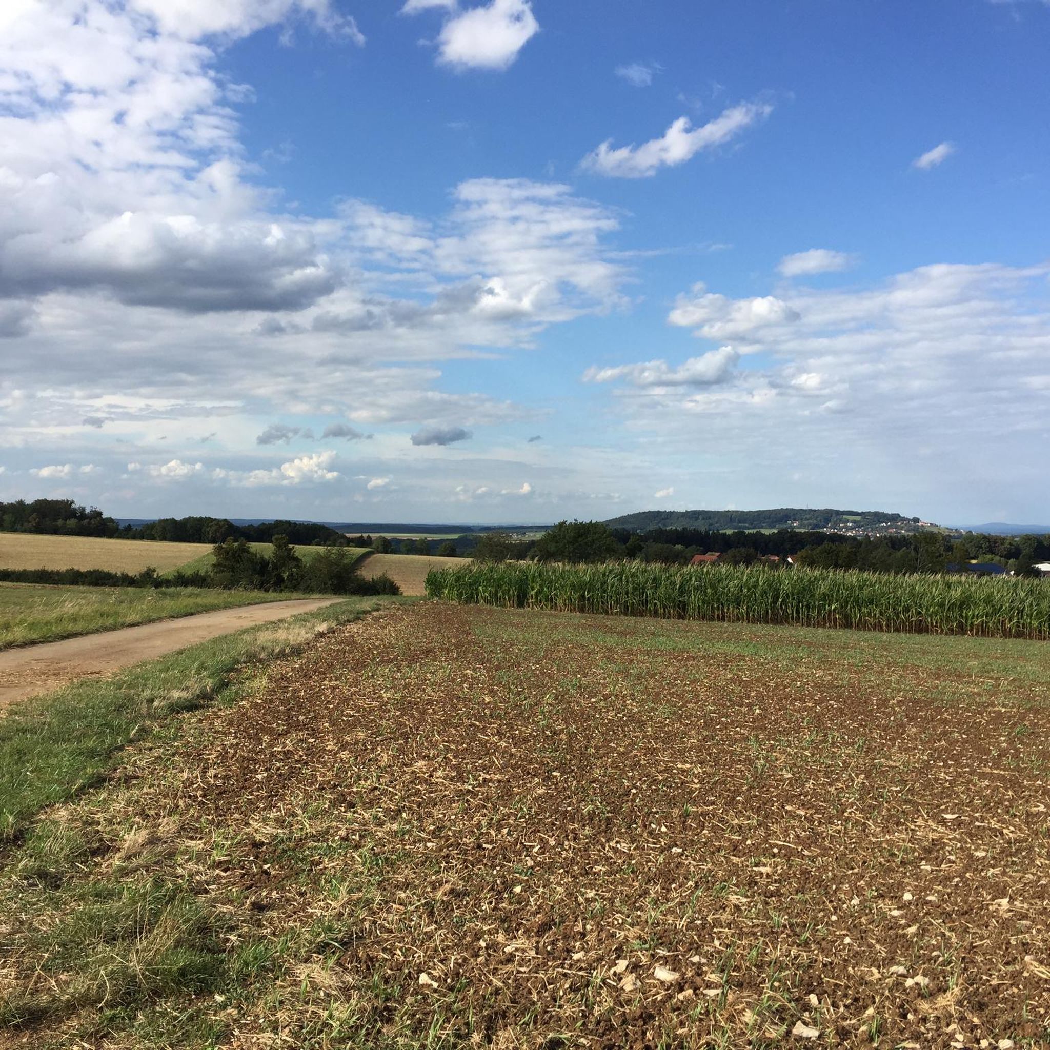
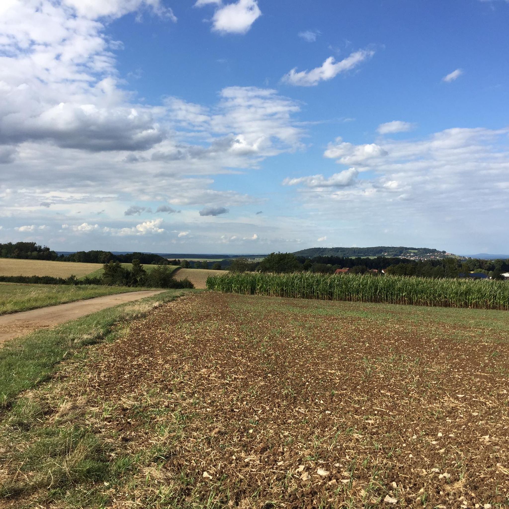
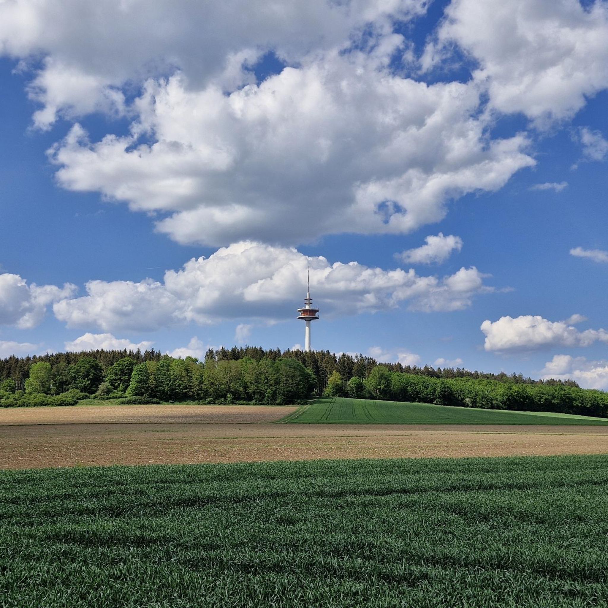
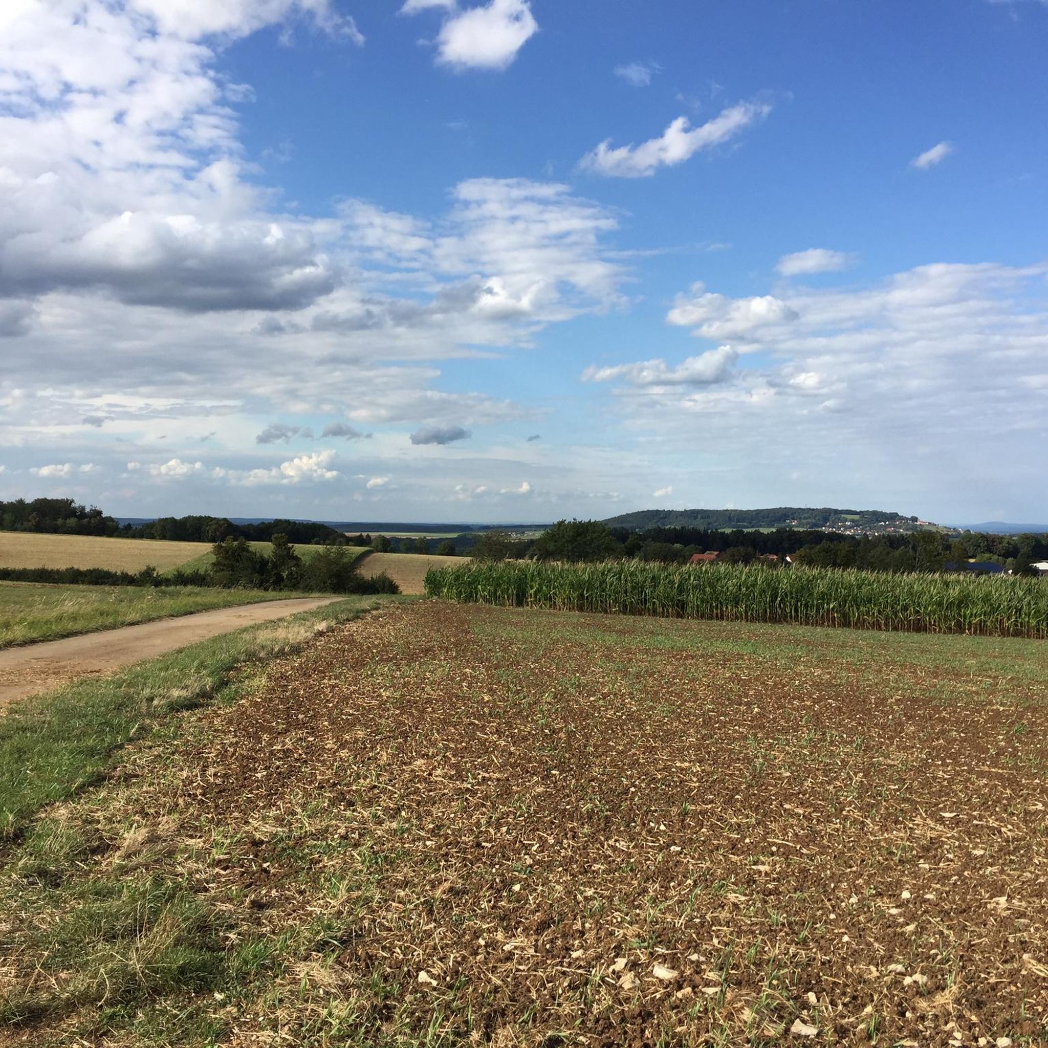
Tips from the Community

Rock formation worth seeing directly on the bike path
0
0

Schloss Syburg is a moated castle first mentioned in 1470, which dates back to an 11th-century water castle and was acquired by the Schenken von Geyern. In the 18th century, it was expanded into a Rococo complex. The main building is a three-story, two-winged hipped roof structure from the mid-18th century. The farmyard dates from the 16th century, the gate tower is from 1759, the orangery and the garden pavilion were built around 1750.
0
0

The path runs here directly along the Altmühl
2
0

Very nice forest path above the 12 Apostel.
1
0

Unfortunately, most of the water castle is currently closed due to construction work.
0
0

As of early 2026: Years ago, the buildings and grounds seemed abandoned to decay. The castle, one of the oldest Franconian noble residences, is surrounded by forests and meadows. Due to the water-filled main moat around the castle and the nearby Gutzenweiher pond, the building, first mentioned in 1470, owes its name "Wasserschloss" (water castle). A private investor made it his retirement project a few years ago and completed the renovation and refurbishment work in 2025. It is now becoming a tourist magnet with a hotel and restaurant operation and an attractive location for events and conferences. More details at https://syburg2025.de/
3
0

It is a very beautifully situated place.
0
0

Here the path is nicely paved
6
1
Frequently Asked Questions
What are the typical difficulty levels for gravel biking around Burgsalach?
Gravel biking around Burgsalach offers a range of difficulties. You'll find 6 easy routes, 44 moderate routes, and 20 difficult routes. The terrain varies from rolling hills and river valleys to more challenging sections with significant climbs, catering to different skill levels.
Are there any beginner-friendly gravel bike trails in the Burgsalach area?
Yes, there are 6 easy gravel bike routes around Burgsalach, perfect for beginners or those looking for a more relaxed ride. These routes often follow flatter sections along river valleys and through open fields, providing a gentle introduction to the region's gravel paths.
Can I find any circular gravel bike routes near Burgsalach?
Many of the gravel bike routes in the Burgsalach area are designed as loops, allowing you to start and end at the same point. For example, the Anlautertal Cycle Path – Anlautertal Riverside Trail loop from Titting is a moderate 29.4 km circular route that explores the scenic Anlautertal.
What kind of scenery can I expect on gravel bike trails around Burgsalach?
The gravel trails around Burgsalach are characterized by the diverse landscapes of the Altmühltal Nature Park. You'll ride through rolling hills, picturesque river valleys like the Anlauter and Thalach, extensive forest paths, and open fields. The region, part of the Franconian Jura, offers a blend of natural beauty and varied terrain.
Are there any notable natural attractions or landmarks along the gravel routes?
Yes, the area boasts several interesting natural and man-made attractions. You might encounter the Stone Channel near Rohrbach, the European Watershed Sculpture on the Gredl Cycle Path, or the unique Calcareous tufa springs and the Steinerne Rinne near Rohrbach. The Märzenbecherwald (Spring Snowflake Forest) is also a beautiful spot during spring.
Are there any lakes or ponds accessible from the gravel bike trails?
Yes, several lakes and ponds are located near the gravel routes, offering pleasant stops. You can find the Bechthaler Pond, Aumühl Pond, and the Dock at Alter Badeweiher. The Weißenburg city moat and pond also offer a scenic urban waterside experience.
What do other gravel bikers enjoy most about the trails in Burgsalach?
The gravel biking experience in Burgsalach is highly rated by the komoot community, with an average score of 4.7 stars from over 150 reviews. Riders often praise the diverse terrain, the scenic river valleys, and the well-maintained forest paths that make up the network of routes within the Altmühltal Nature Park.
Are there any long-distance or challenging gravel bike routes for experienced riders?
For experienced riders seeking a challenge, Burgsalach offers several difficult routes. The Weißenburg Market Square – Pappenheim loop from Weißenburg (Bay) is a demanding 86.6 km route with significant elevation changes, providing a rewarding ride through varied landscapes.
What is the best season for gravel biking in Burgsalach?
The Altmühltal Nature Park region is enjoyable for gravel biking throughout much of the year. Spring and autumn offer pleasant temperatures and beautiful scenery, especially with the changing foliage or blooming wildflowers. Summer is also great, though it's advisable to start earlier on hotter days. Winter riding is possible, but conditions can vary, so checking local weather and trail reports is recommended.
Are there any gravel routes that offer panoramic views or viewpoints?
Yes, the region's rolling hills and elevated sections often provide excellent viewpoints. While specific viewpoints aren't always named, routes that traverse higher ground, such as those with significant elevation changes, will offer panoramic vistas of the Altmühltal landscape, including views of rock formations and distant castles.
How many gravel bike trails are available in the Burgsalach area?
There are 70 gravel bike trails available for exploration around Burgsalach. This extensive network provides a wide variety of options, from shorter, easier rides to longer, more challenging adventures, all within the beautiful Altmühltal Nature Park.
Most popular routes around Burgsalach
Most popular attractions around Burgsalach

Get inspired with the komoot mobile app


Explore more
Browse the best Gravel rides in other regions.
