The best walks and hikes around Burgsalach
4.5
(302)
1,499
hikers
23
hikes
Hiking around Burgsalach offers diverse landscapes within the Weißenburg-Gunzenhausen district, bordering the Altmühltal Nature Park. The region features rolling hills, river valleys, and forests, providing varied terrain for outdoor activities. Situated on the high plateau of the southern Franconian Alb, the area boasts distinct geological formations and scenic views. Hikers can explore ancient Roman defensive systems, including the Upper German-Rhaetian Limes, and discover historical sites like the Burgus Burgsalach.
Best hiking trails in Burgsalach
- The most popular hiking route is…
Last updated: October 8, 2026
3.8
(5)
13
hikers
13.9km
03:40
130m
130m
Moderate hike. Good fitness required. Easily-accessible paths. Suitable for all skill levels.
4.5
(4)
19
hikers
9.04km
02:23
80m
80m
Moderate hike. Good fitness required. Easily-accessible paths. Suitable for all skill levels.

5.0
(3)
6
hikers
Hard hike. Very good fitness required. Easily-accessible paths. Suitable for all skill levels.
5.0
(2)
3
hikers
Easy hike. Great for any fitness level. Easily-accessible paths. Suitable for all skill levels.
5.0
(1)
4
hikers
Moderate hike. Good fitness required. Easily-accessible paths. Suitable for all skill levels.
Get access to more routes and recommendations from other explorers.
Already have an account?
Our route recommendations are based on thousands of hikes, rides, and runs completed by other people on komoot.
Start today with a free account
Your next adventure awaits.
Tips from the Community

quiet little place to think in peace
0
0

The Rhaetian-Germanic Limes, recognized as a UNESCO World Heritage site, which stretches for around 550 kilometers through several federal states, also runs through Bavarian territory. The “Landesstelle für die nichtstaatlichen Museen in Bayern” (State Office for Non-State Museums in Bavaria) offers a nearly fifteen-minute film documentary on modern research methods in archaeology, titled “Limes, Laser und Hightech,” on its internet YouTube channel. The contribution can be accessed via the following link: =>> https://www.youtube.com/watch?v=1A4WwBGiR0E
0
0

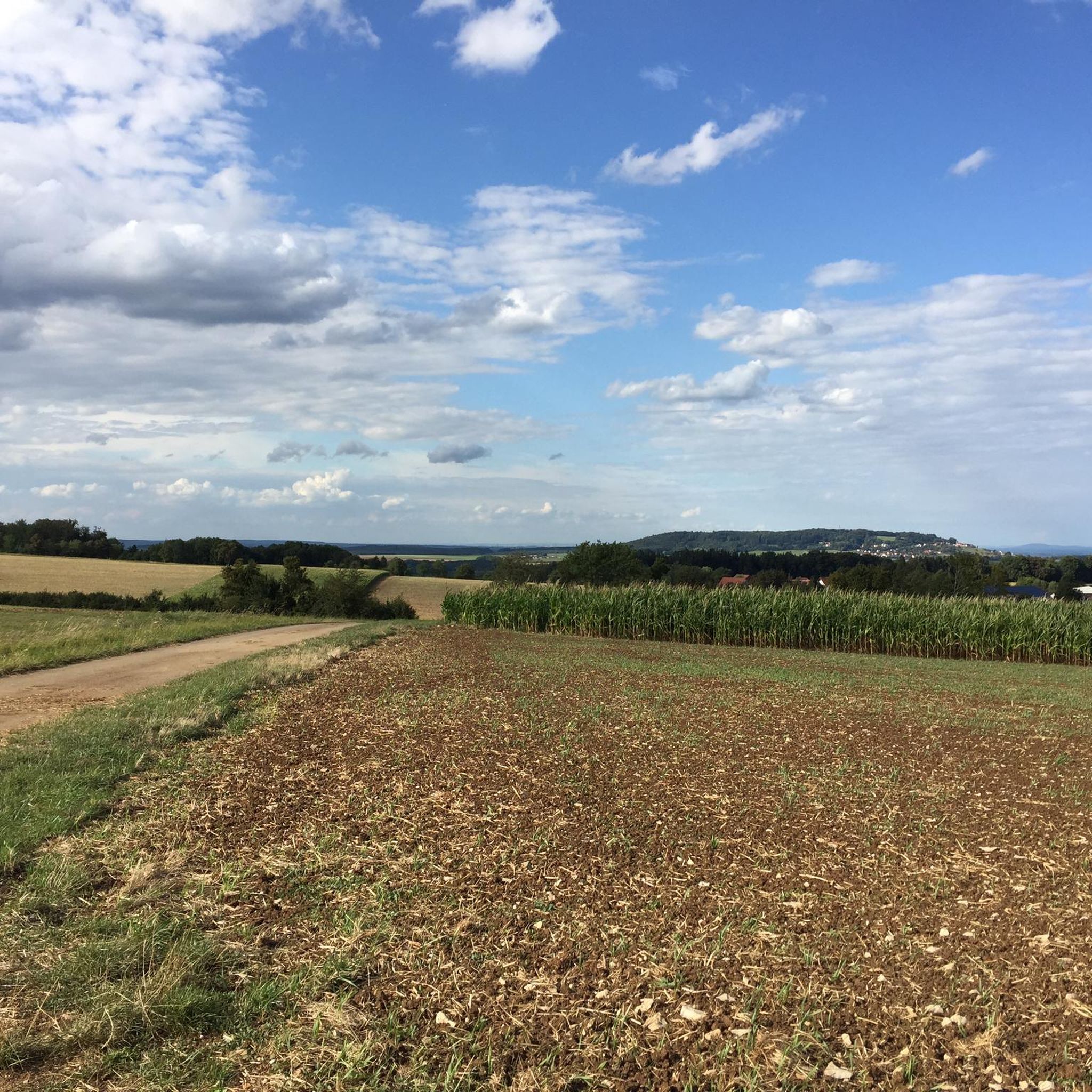
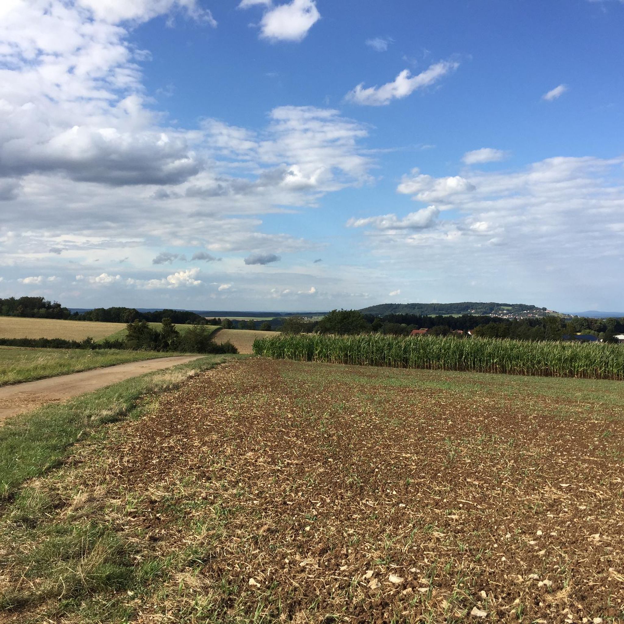
From here, you look out over the Rohrbach valley towards the Wülzburg.
0
0
Memorial cross with a tragic background. The benches to the right and left invite you to linger.
0
0

We have used the parking lot often in the past. Today we found out that it has become a parking lot for motorhomes, from which cars would be towed. (current photo uploaded) Shame 🫤
0
0

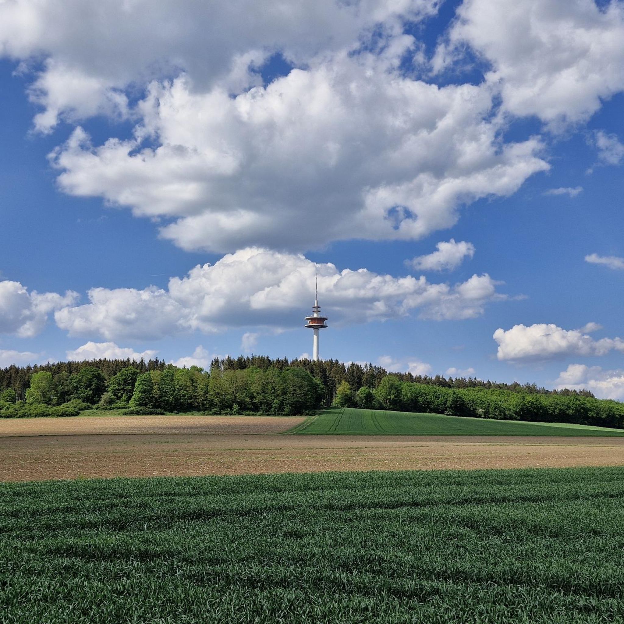
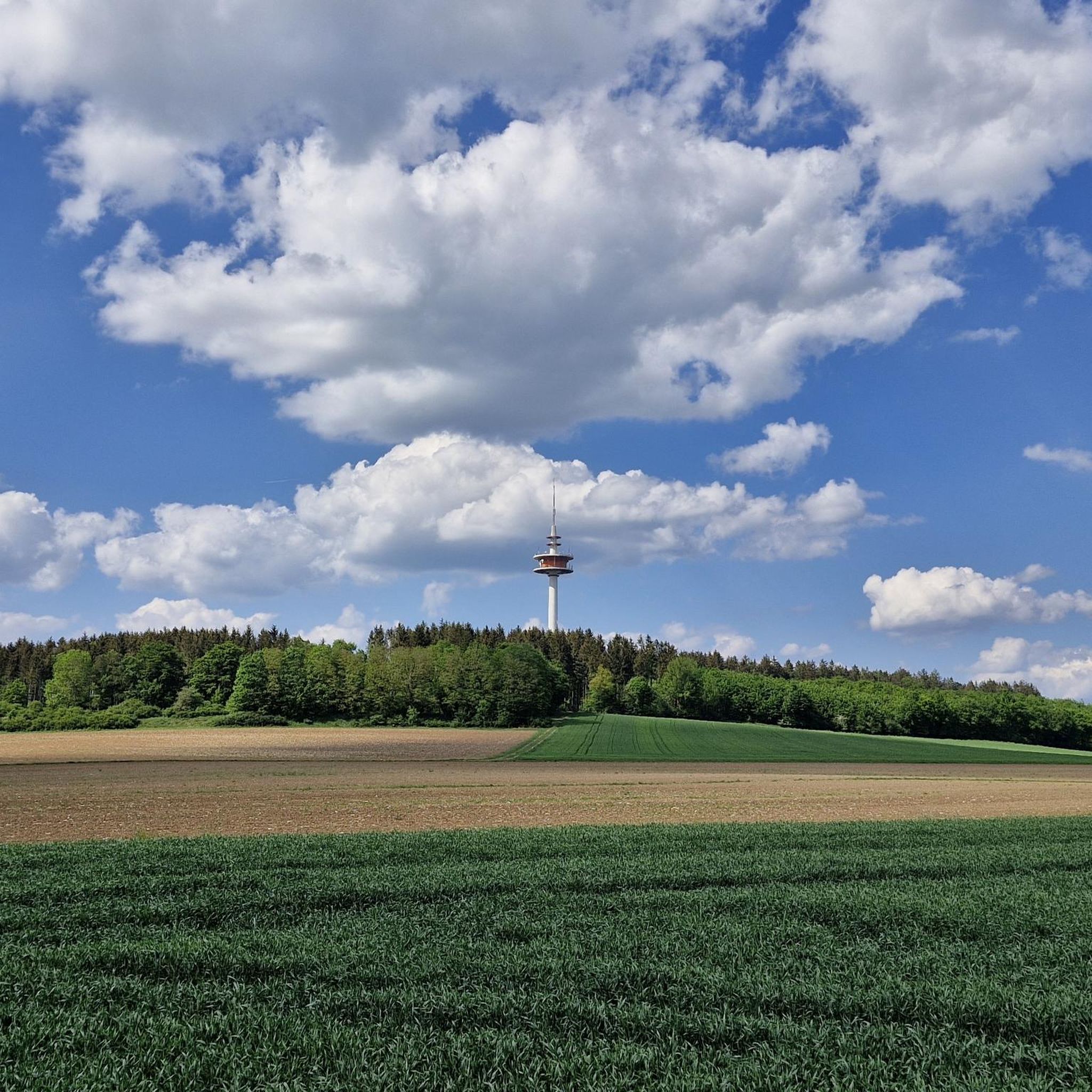
Great construction in the landscape
1
0
I recently tried the services offered by https://pinco-turkiye.org/promo and was really impressed. The platform was easy to navigate and everything worked smoothly from start to finish. I appreciated the level of professionalism and how quickly I got the results I was looking for. A reliable online service definitely worth checking out.
0
1

For more information, see here: https://www.naturpark-altmuehltal.de/sehenswertes/burgus_bei_burgsalach-129/ The unusual Roman complex near Burgsalach was previously thought to be a small fort, the likes of which are otherwise only found in North Africa. However, according to recent findings, it is likely a mansio, a Roman inn.
1
0
Frequently Asked Questions
How many hiking trails are available around Burgsalach?
There are over 20 hiking trails around Burgsalach, offering a variety of experiences for different skill levels. The komoot community has explored more than 1600 of these routes.
What kind of terrain can I expect on hikes near Burgsalach?
Hiking around Burgsalach features diverse landscapes, including rolling hills, river valleys, and forests. Many trails also follow the historical Upper German-Rhaetian Limes, offering a mix of natural beauty and ancient Roman history.
When is the best time of year to go hiking in Burgsalach?
The months from April to October are particularly recommended for hiking in Burgsalach, offering pleasant weather to enjoy the region's natural beauty and historical sites.
Are there easy hiking options for beginners or casual walkers in Burgsalach?
Yes, Burgsalach offers several easy hiking options. For example, the Burgus Burgsalach Roman Ruins loop from Burgsalach is an easy 3.4-mile (5.4 km) trail that takes about 1 hour 24 minutes to complete, perfect for a relaxed stroll.
Are there any challenging long-distance hikes around Burgsalach?
For those seeking a more challenging experience, the Weißenburg in Bavaria — Old Town – Weißenburg City Wall Trail loop from Burgsalach is a difficult 18.1-mile (29.1 km) trail that typically takes nearly 8 hours to complete, leading through historical towns and varied terrain.
Are there family-friendly hiking trails in Burgsalach?
While specific 'family-friendly' designations aren't always explicit, many of the easy and moderate trails, especially those under 6 miles, are suitable for families. The region's diverse landscapes and historical Roman sites can make for engaging walks for all ages.
Can I bring my dog on the hiking trails in Burgsalach?
Generally, dogs are welcome on hiking trails in the Burgsalach region. It's always a good practice to keep them on a leash, especially in nature conservation areas or near livestock, and to carry waste bags.
Are there circular hiking routes available in Burgsalach?
Yes, many of the popular routes around Burgsalach are circular. Examples include the Kleinkastell Raitenbuch – Burgus Burgsalach Roman Ruins loop from Raitenbuch and the Burgus Burgsalach Roman Ruins – Laubental loop from Burgsalach, allowing you to start and end at the same point.
What historical landmarks can I see while hiking in Burgsalach?
Burgsalach is rich in historical significance due to its proximity to the Upper German-Rhaetian Limes, a UNESCO World Heritage site. Hikers can explore ancient Roman defensive systems and discover relics like the Roman fort Biriciana. The 'Römererlebnispfad Burgsalach' (Roman Adventure Trail) specifically highlights foundations of military fortresses.
Are there any natural features or viewpoints to discover on hikes?
The region offers picturesque scenery with rolling hills, river valleys, and forests. While specific dramatic geological formations are more prominent in the broader Altmühltal Nature Park, the trails around Burgsalach provide beautiful natural backdrops and varied landscapes. You can also find highlights like Bechthaler Pond or Aumühl Pond near some routes.
What do other hikers enjoy most about hiking in Burgsalach?
The hiking trails in Burgsalach are highly rated by the komoot community, with an average score of 4.5 stars from over 300 reviews. Hikers often praise the combination of natural beauty, varied terrain, and the unique historical experience of walking along the Roman Limes.
Are there options for public transport or parking near the trailheads?
Burgsalach is generally accessible, and while specific public transport details for every trailhead vary, many routes are designed to be accessible. Parking is typically available in or near the villages and starting points of popular trails. It's advisable to check local information for specific trailheads.
Most popular routes around Burgsalach
Most popular attractions around Burgsalach

Get inspired with the komoot mobile app


Explore more
Browse the best Hikes in other regions.
