The best gravel rides around Guderhandviertel
4.4
(92)
275
riders
50
rides
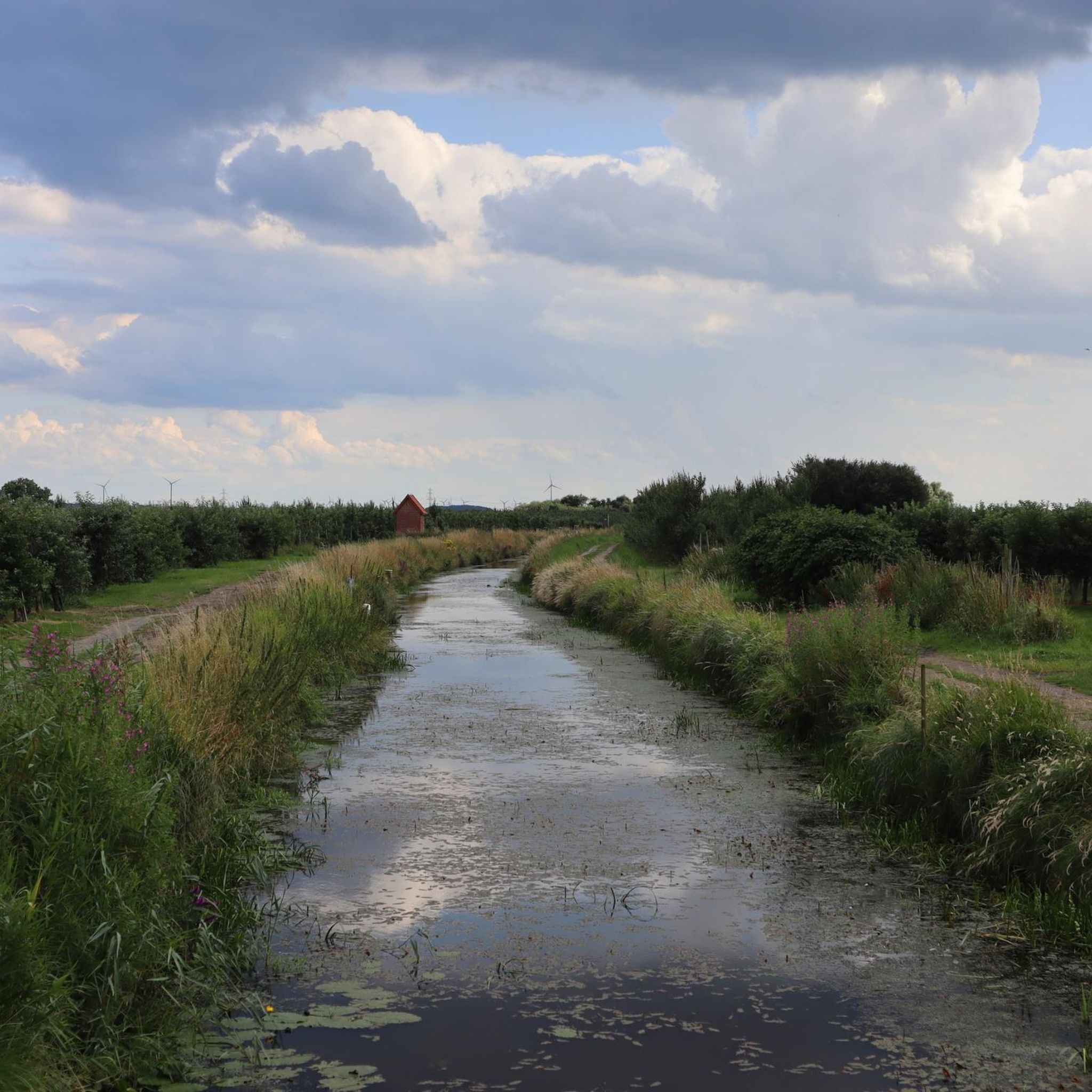
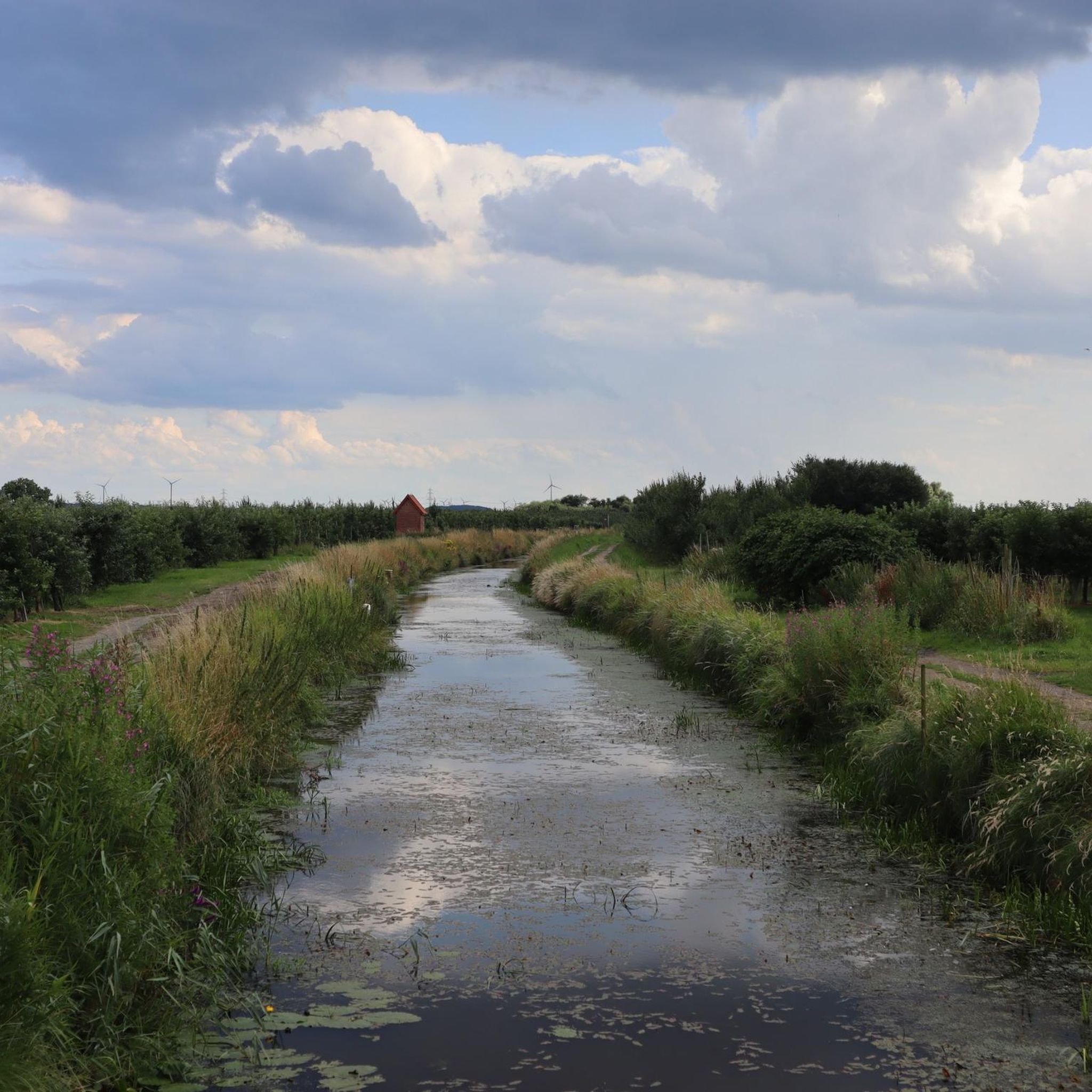
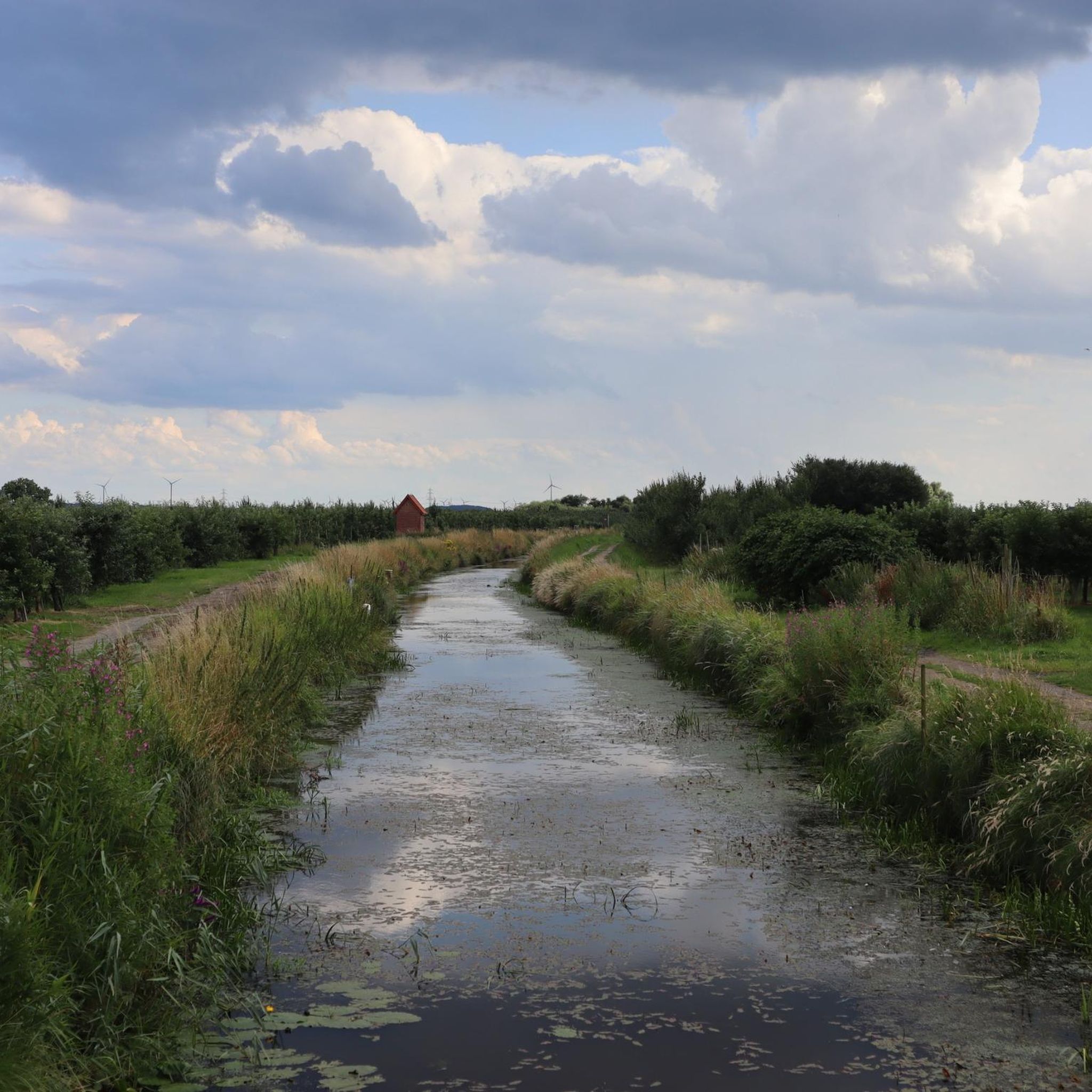
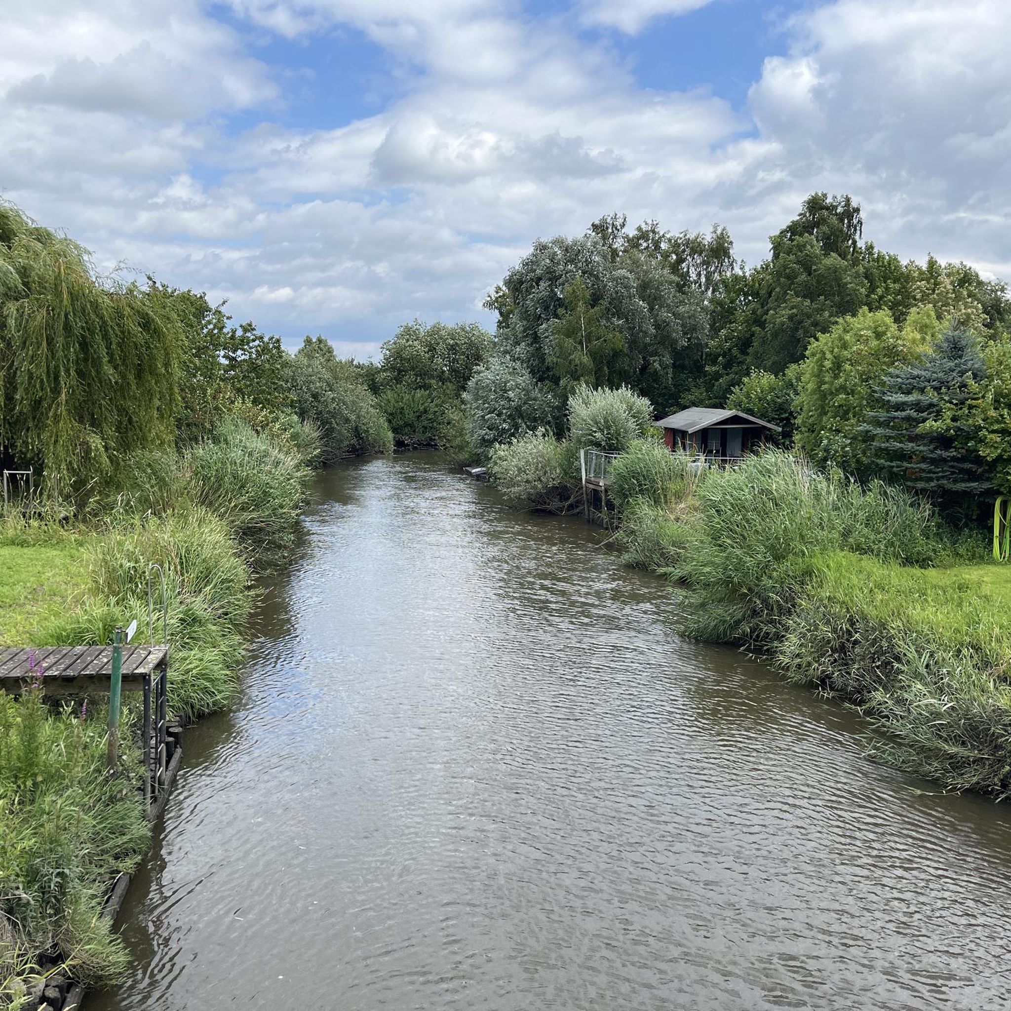
Gravel biking around Guderhandviertel features routes through the flat, riverine landscapes of the Altes Land region. The terrain is characterized by extensive apple orchards, agricultural fields, and forested sections, often following the banks of the Elbe and Este rivers. Elevation changes are minimal, making the area suitable for longer, less strenuous rides. The region offers a network of paths connecting small villages and natural areas.
Best gravel bike trails around Guderhandviertel
- The most popular gravel bike trail is Hogendiek Bridge – Altes Land Apple Orchards loop from Buxtehude, a 33.9 miles (54.7 km) trail that takes 2 hours 55 minutes to complete. This route offers views of the Altes Land orchards.
- Another top favourite among local gravel bikers is Fischbeker Heath – Stuvenwald-Waldweg loop from Buxtehude, a moderate 35.3 miles (56.9 km) path. This trail winds through heathland and forest sections.
- Local gravel bikers also love the Schnaakenmoor Moor Path – Large Fish Pond loop from Wedel, a 22.2 miles (35.7 km) trail leading through varied landscapes including moorland and a large fish pond, often completed in about 2 hours 1 minute.
- Gravel biking around Guderhandviertel is defined by flat riverine landscapes, extensive orchards, and forested areas. The network offers options for various ability levels, from easy to difficult.
- The routes in Guderhandviertel are highly rated by the komoot community with an average score of 4.4 stars from over 70 reviews. More than 240 gravel bikers have used komoot to explore Guderhandviertel's varied terrain.
Last updated: July 2, 2026
4.7
(11)
29
riders
Easy gravel ride. Great for any fitness level. Mostly paved surfaces. Suitable for all skill levels.
4.8
(4)
18
riders
56.9km
03:16
290m
290m
Moderate gravel ride. Good fitness required. Mostly paved surfaces. Suitable for all skill levels.

Sign up for free
4.5
(2)
15
riders
41.6km
02:20
180m
180m
Hard gravel ride. Good fitness required. You may need to push your bike for some segments of this route.
5.0
(1)
15
riders
40.5km
02:13
140m
140m
Moderate gravel ride. Good fitness required. Mostly paved surfaces. Suitable for all skill levels.
5.0
(2)
18
riders
54.7km
02:53
60m
60m
Moderate gravel ride. Good fitness required. Mostly paved surfaces. Suitable for all skill levels.
Get access to more routes and recommendations from other explorers.
Sign up for free
Already have an account?
Our route recommendations are based on thousands of hikes, rides, and runs completed by other people on komoot.
Start today with a free account
Your next adventure awaits.
Login or Signup
Tips from the Community

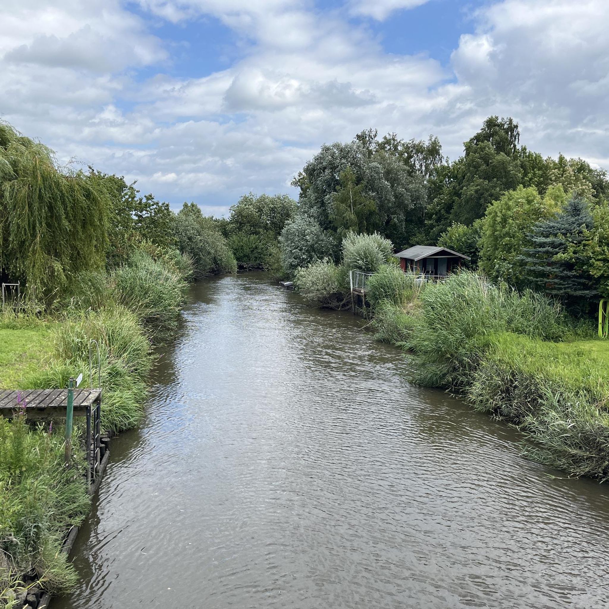
The dykes on the Lühe are listed as historical monuments. The villages on both sides of the Lühe: Mittelnkirchen Ort, Mittelnkirchen Hohenfelde, Neuenkirchen east of the river and Bergfried and Guderhandviertel west of the river are typical, historic dyke-strip villages of the Altes Land – just like Leeswig, Königreich, Hove and Moorende on the Este –. They follow the curves of the river, as do the dyke and the road. The farmhouses face the dyke with their decorated gables, separated from each other by ditches, with the typical front gardens. The farm buildings, orchards, the historic strips of the agricultural land extend behind the houses in long strips.
0
0

Great cycling route with a break opportunity amidst beautiful nature and a wide view of the fields up to the Elbe 1 and Elbe 2 power pylons. As this route is very popular, additional resting places have been built. You can also undertake and enjoy a great hike here. As the route is directly on the railway line, you can end the tour at any time and travel back by train. Maybe plan it that way from the start.
0
0
The Auental offers many possibilities for a hike or bike tour. It is beautiful and relaxing here.
1
0
A great cycling and hiking route leads along here amidst beautiful nature, recommended all year round.
1
0
Fantastic hiking and cycling area near Dollern in the forest. You can enjoy pure relaxation here. Highly recommended 👍🏻.
7
0

Super beautiful manor house ensemble from the 17th century. The former knight's estate is now home to three generations of the Brümmel family. The farm now includes organic pig farming, forestry, organic and conventional cultivation of rye and corn for animal feed, as well as a biogas plant. Tenants have been living in the restored half-timbered buildings for many years - it looks like a wonderful farm community.
0
0
A great cycling and hiking route runs along here amidst beautiful nature. The Steinbeck flows through the Auental and its side valleys.
4
0
You can take wonderful hikes in the Auental nature reserve and its side valleys. Highly recommended.
3
0
Frequently Asked Questions
What is the general difficulty level of gravel bike trails in Guderhandviertel?
Guderhandviertel offers a good mix of gravel bike trails suitable for various skill levels. You'll find 32 easy routes, 53 moderate routes, and 11 more difficult options, ensuring there's something for everyone from beginners to experienced riders.
Are there family-friendly or beginner gravel bike routes in Guderhandviertel?
Yes, the region is well-suited for families and beginners due to its flat, riverine landscapes and minimal elevation changes. There are 32 easy gravel bike routes available. A good option to consider is the Neuklosterholz Forest – Stream at Neuklosterholz loop from Jork, which is an easy 22.5 km trail.
How long are the gravel bike routes around Guderhandviertel?
The gravel bike routes in Guderhandviertel vary in length. You'll find shorter trails like the Trail Along the Pond – Agathenburg Castle loop from Flugplatz Stade at 28.1 km, which takes about 2 hours. Longer routes, such as the Hove Route (east of the Este) – View of the Elbe River loop from Dollern, stretch to 54.9 km and typically take around 3.5 hours.
Can I find circular gravel bike routes in Guderhandviertel?
Many of the gravel bike routes in Guderhandviertel are designed as loops, allowing you to start and end at the same point. Examples include the Orchards in Altes Land – View of Blankenese loop from Dollern and the Hogendiek Bridge – View of Blankenese loop from Samtgemeinde Lühe.
What natural sights can I see while gravel biking in Guderhandviertel?
The routes often follow the banks of the Elbe and Este rivers, offering scenic views. You can also explore areas like the Neukloster Lake, the Stream at Neuklosterholz, and the extensive Apple Orchards of Altes Land. Don't miss the View of the Elbe River from various points along the trails.
Are there any historical or cultural landmarks along the gravel routes?
Yes, you can encounter several interesting landmarks. The Trail Along the Pond – Agathenburg Castle loop from Flugplatz Stade passes by Agathenburg Castle. Other nearby attractions include the Old town of Stade, the Aurora mill, and the Old Harbor and Fish Market Stade.
What do other gravel bikers say about the trails in Guderhandviertel?
The gravel biking experience in Guderhandviertel is highly regarded by the komoot community, with an average rating of 4.6 stars from over 125 reviews. More than 530 gravel bikers have explored the area, often praising the flat, scenic routes through orchards and along rivers.
What is the best time of year for gravel biking in Guderhandviertel?
The Altes Land region, including Guderhandviertel, is particularly beautiful during spring when the fruit trees are in blossom, and in autumn during harvest season. The flat terrain makes it enjoyable throughout the warmer months, typically from spring to early autumn.
Is gravel biking possible in Guderhandviertel during winter?
While the flat terrain means less concern about icy climbs, winter conditions can still affect gravel biking. Paths might be muddy or wet, especially along riverbanks. It's advisable to check local weather conditions and trail reports, and ensure you have appropriate gear for colder, potentially damp weather.
Where can I find parking for gravel biking in Guderhandviertel?
Many routes start from towns and villages that offer parking facilities. For example, routes often begin from locations like Dollern, Flugplatz Stade, Jork, or Samtgemeinde Lühe, where you can typically find public parking options.
Are there cafes or refreshment stops along the gravel bike trails?
Given the routes often connect small villages and pass through populated areas of the Altes Land, you'll likely find opportunities for cafes, bakeries, or small shops to refuel. It's a good idea to check your komoot tour map for specific points of interest along your chosen route.
Most popular routes around Guderhandviertel
Most popular attractions around Guderhandviertel

Get inspired with the komoot mobile app


Explore more
Browse the best Gravel rides in other regions.
