The best walks and hikes around Guderhandviertel
4.5
(5349)
24,319
hikers
947
hikes
Hiking around Guderhandviertel offers diverse terrain within Niedersachsen, Germany. The region is characterized by its riverine landscapes, notably the Lühe and Elbe rivers, providing scenic waterside paths. Hikers can expect to traverse expansive meadows and shaded woodlands, contributing to varied walking experiences. Many trails are easily accessible, catering to various fitness levels.
Best hiking trails around Guderhandviertel
- The most popular hiking route is Lühedeich Riverside Walk – Hogendiek Bridge loop from Samtgemeinde Lühe, a 4.5 miles (7.2 km) trail…
Last updated: July 5, 2026
4.8
(167)
503
hikers
Easy hike. Great for any fitness level. Easily-accessible paths. Suitable for all skill levels.
4.6
(21)
108
hikers
Moderate hike. Good fitness required. Easily-accessible paths. Suitable for all skill levels.

Sign up for free
4.9
(16)
82
hikers
Moderate hike. Good fitness required. Easily-accessible paths. Suitable for all skill levels.
4.7
(13)
60
hikers
Easy hike. Great for any fitness level. Easily-accessible paths. Suitable for all skill levels.
4.7
(10)
47
hikers
Easy hike. Great for any fitness level. Easily-accessible paths. Suitable for all skill levels.
Get access to more routes and recommendations from other explorers.
Sign up for free
Already have an account?
Our route recommendations are based on thousands of hikes, rides, and runs completed by other people on komoot.
Start today with a free account
Your next adventure awaits.
Login or Signup
Tips from the Community

In Horneburg near Stade, there are several historic manor houses dating back to the year 1255. The region is known for its idyllic location and its history, the Rittergut Horneburg: This manor was dated to the year 1502. It has been in the possession of the von Düring family ever since. The Handwerksmuseum (crafts museum) is located on this site.
1
0
This cycling and hiking route features typical, historic half-timbered houses from the Altes Land region. The region is known for its ornate, colourful half-timbered facades and thatched roofs. It is one of the largest contiguous fruit-growing areas in Northern Europe.
1
0
You get fantastically beautiful views from the Elbe dyke of the surrounding nature and the Elbe. A great cycling and hiking route runs along here, a visit is recommended.
5
0
A great route for cycling and hiking runs along here. Shops, restaurants, cafés, a pharmacy, an ice cream parlor, and the town hall are located here.
5
0

a nice ice cream cafe with an outdoor terrace - great for a short break
0
0

Those who have to eat gluten-free will not have to look around here.....there is a large selection of gluten-free treats here.
0
0
A great bike and hiking trail runs along here amidst beautiful nature, come and see. Highly recommended and interesting at the same time.
0
0
A great cycling and hiking route runs along the half-timbered houses here.
6
1
Frequently Asked Questions
How many hiking trails are available around Guderhandviertel?
Guderhandviertel boasts an extensive network of nearly 950 hiking routes. These trails cater to various preferences, with over 630 easy routes, 270 moderate options, and 40 more challenging paths for experienced hikers.
What kind of terrain can I expect on hikes in Guderhandviertel?
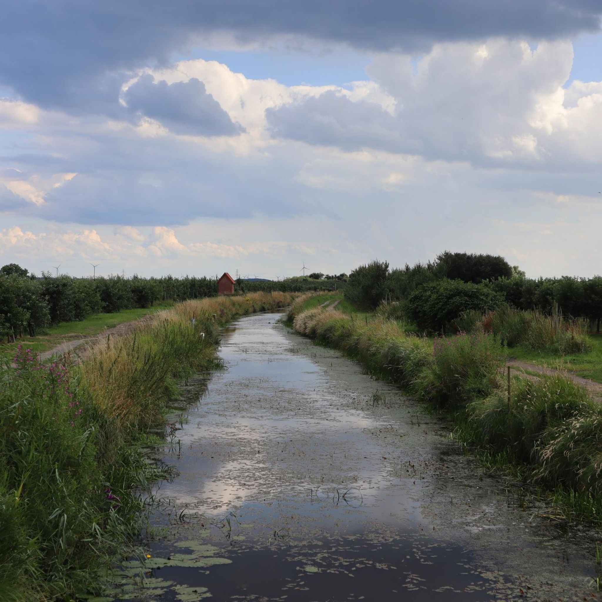
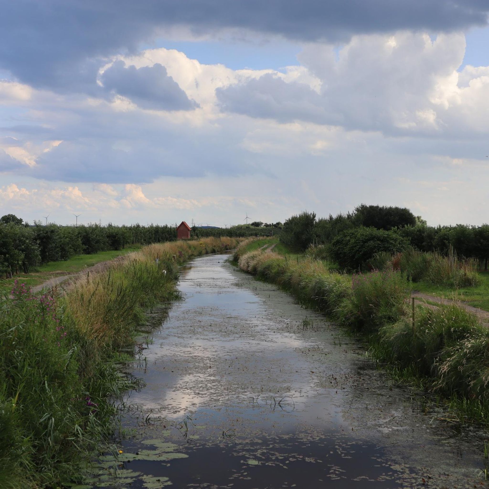
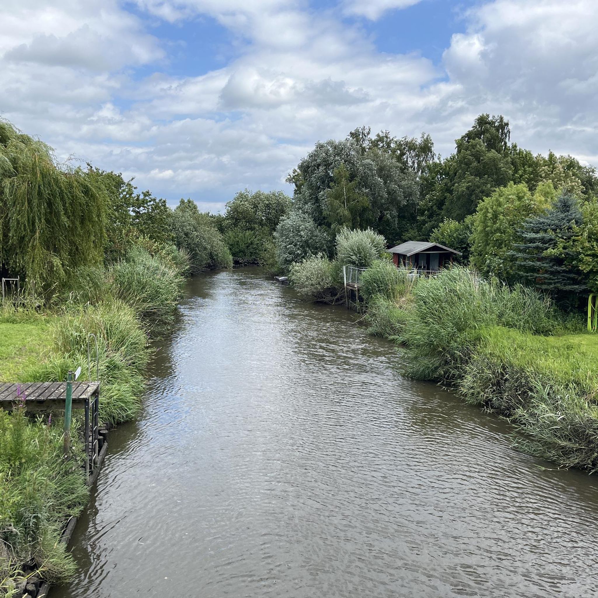
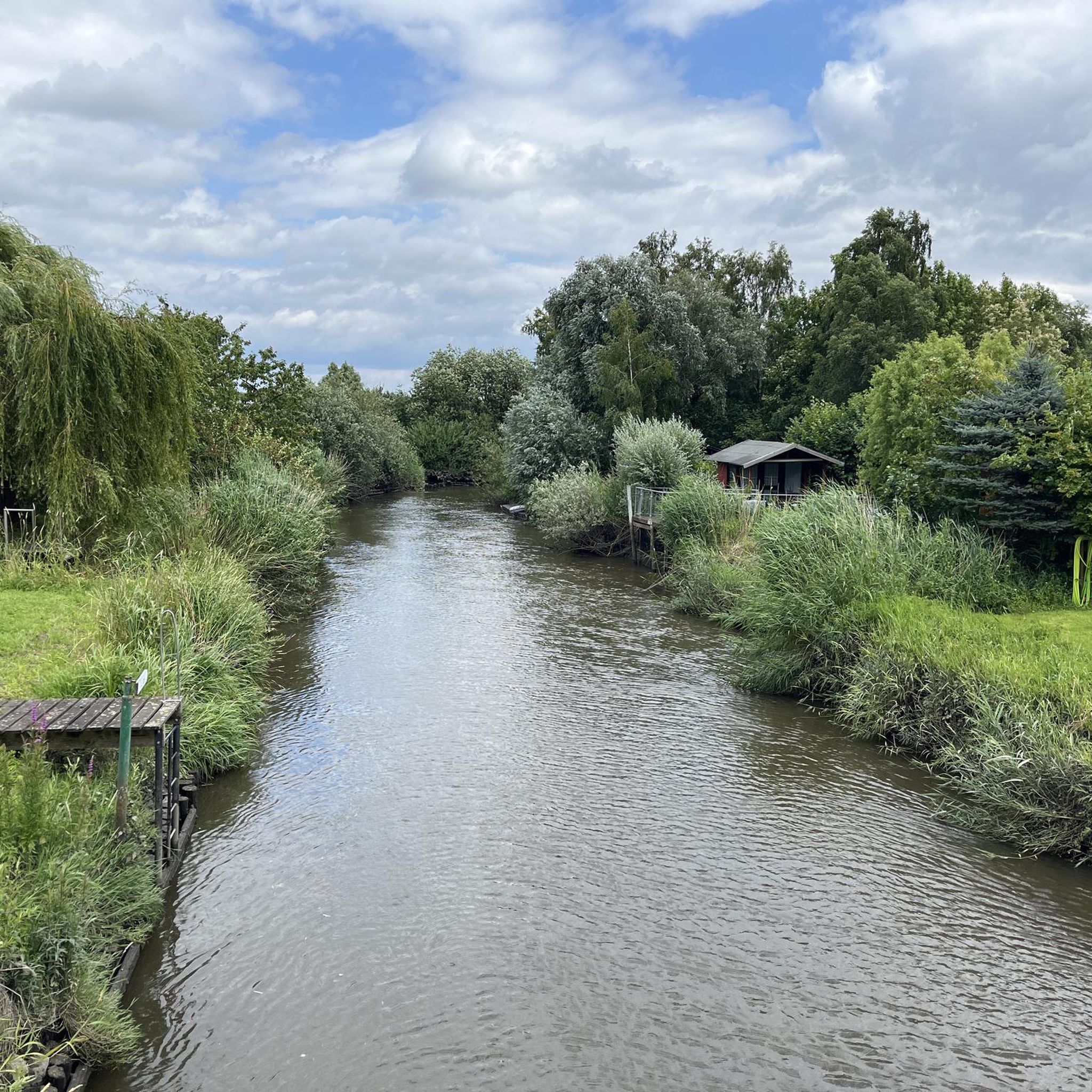
The region around Guderhandviertel is characterized by diverse and accessible terrain. You'll find scenic waterside paths along the Lühe and Elbe rivers, expansive meadows, and shaded woodlands. The trails generally feature minimal elevation changes, making them suitable for a wide range of fitness levels.
Are there any family-friendly hiking trails in Guderhandviertel?
Yes, Guderhandviertel offers many family-friendly options. The accessible paths and gentle terrain make it ideal for walks with children. For example, the Lühe Bridge in Mittelnkirchen – Steinkirchen Town Center loop is an easy 4.4 km route that's great for a family outing.
Can I bring my dog on the hiking trails in Guderhandviertel?
Many trails in Guderhandviertel are suitable for dogs, allowing you to enjoy the natural surroundings with your canine companion. Given the mix of riverine landscapes, meadows, and woodlands, it's generally a pleasant environment for walks. Always remember to keep your dog on a leash, especially near livestock or in nature protection areas, and carry waste bags.
Are there circular hiking routes available in Guderhandviertel?
Yes, many of the routes around Guderhandviertel are designed as circular walks, allowing you to start and end at the same point. An example is the Hogendiek Bridge – Apple Orchards and the Lühe Dike loop, which takes you through orchards and along the dike.
What are some notable landmarks or attractions I can see while hiking?
While hiking, you can explore various points of interest. The region is known for its historical connections to the Elbe River. You might encounter historical lighthouses along the Lühe estuary or explore the nearby town of Stade with its Old Harbor and Schwedenspeicher museum. Specific highlights include the View of Auetal or the Höpenrig Children's Forest.
What do other hikers enjoy most about Guderhandviertel?
The hiking experience in Guderhandviertel is highly rated by the komoot community, with an average score of 4.5 stars from over 4,700 reviews. Hikers often praise the region's diverse landscapes, including the peaceful riverside paths and expansive meadows, as well as the accessibility of the trails for various fitness levels.
Is public transport available to reach hiking trailheads in Guderhandviertel?
While specific public transport connections to every trailhead can vary, the region of Niedersachsen generally has a public transport network. For detailed information on bus or train services to specific starting points, it's advisable to check local transport schedules or use online journey planners for the Guderhandviertel area.
Are there places to eat or stay near the hiking trails?
Guderhandviertel and its surrounding towns offer various options for refreshments and accommodation. You can find cafes, pubs, and guesthouses in nearby villages, especially in places like Stade, which has a historic town center. It's recommended to check local listings for specific establishments along your chosen route.
What is the best time of year to go hiking in Guderhandviertel?
Guderhandviertel offers pleasant hiking experiences throughout much of the year. Spring and autumn provide comfortable temperatures and beautiful scenery, with blooming orchards in spring and colorful foliage in autumn. Summer is also popular, especially for riverside walks. Winter hikes are possible, but conditions may be muddy, so appropriate footwear is recommended.
Are there any shelters or rest stops along the trails?
Yes, some trails in the Guderhandviertel area feature shelters and rest stops. For instance, you might find a Rest hut on the Auetal Pilgrims' Trail or a Shelter by the cycle path, providing convenient spots to take a break during your hike.
What is the typical elevation gain on hikes in Guderhandviertel?
Hikes in Guderhandviertel are generally characterized by minimal elevation changes. The terrain is largely flat, especially along the riverine landscapes and meadows. This makes most routes accessible and enjoyable for hikers who prefer less strenuous ascents.
Most popular routes around Guderhandviertel
Most popular attractions around Guderhandviertel

Get inspired with the komoot mobile app


Explore more
Browse the best Hikes in other regions.
