The best road cycling routes in Palo Corona Regional Park
4.8
(43)
1,525
riders
39
rides
Road cycling in Palo Corona Regional Park offers diverse landscapes across its 11,000 acres, ranging from oak-studded woodlands and grassy fields to rolling meadows and rugged hills. The park's elevation varies from near sea level to over 3,400 feet, providing varied terrain for cyclists. The Carmel River meanders through the park, and ridges offer views of Monterey Bay and the Pacific Ocean.
Best road cycling routes in Palo Corona Regional Park
- The most popular road cycling route is Roadbike loop…
Last updated: September 30, 2026
12
riders
Moderate road ride. Good fitness required. Mostly well-paved surfaces and easy to ride.
3
riders
Moderate road ride. Good fitness required. Mostly well-paved surfaces and easy to ride.

6
riders
Hard road ride. Very good fitness required. Mostly well-paved surfaces and easy to ride.
10
riders
Moderate road ride. Good fitness required. Mostly well-paved surfaces and easy to ride.
16
riders
18.1km
00:51
170m
170m
Moderate road ride. Great for any fitness level. Some segments of this route may be unpaved and difficult to ride.
Get access to more routes and recommendations from other explorers.
Already have an account?
Our route recommendations are based on thousands of hikes, rides, and runs completed by other people on komoot.
Start today with a free account
Your next adventure awaits.
Popular around Palo Corona Regional Park
Tips from the Community


Carmel Valley Village is a picturesque, small, rural community nestled in the rolling hills of Monterey County close to the coast and Carmel-by-the-Sea. Known for its world-class wineries, art galleries, and upscale resorts, it is relaxed yet fancy, with stunning views in every direction. There are plenty of highly rated restaurants and cafes here, ideal if you want to treat yourself to lunch during a long ride.
0
0

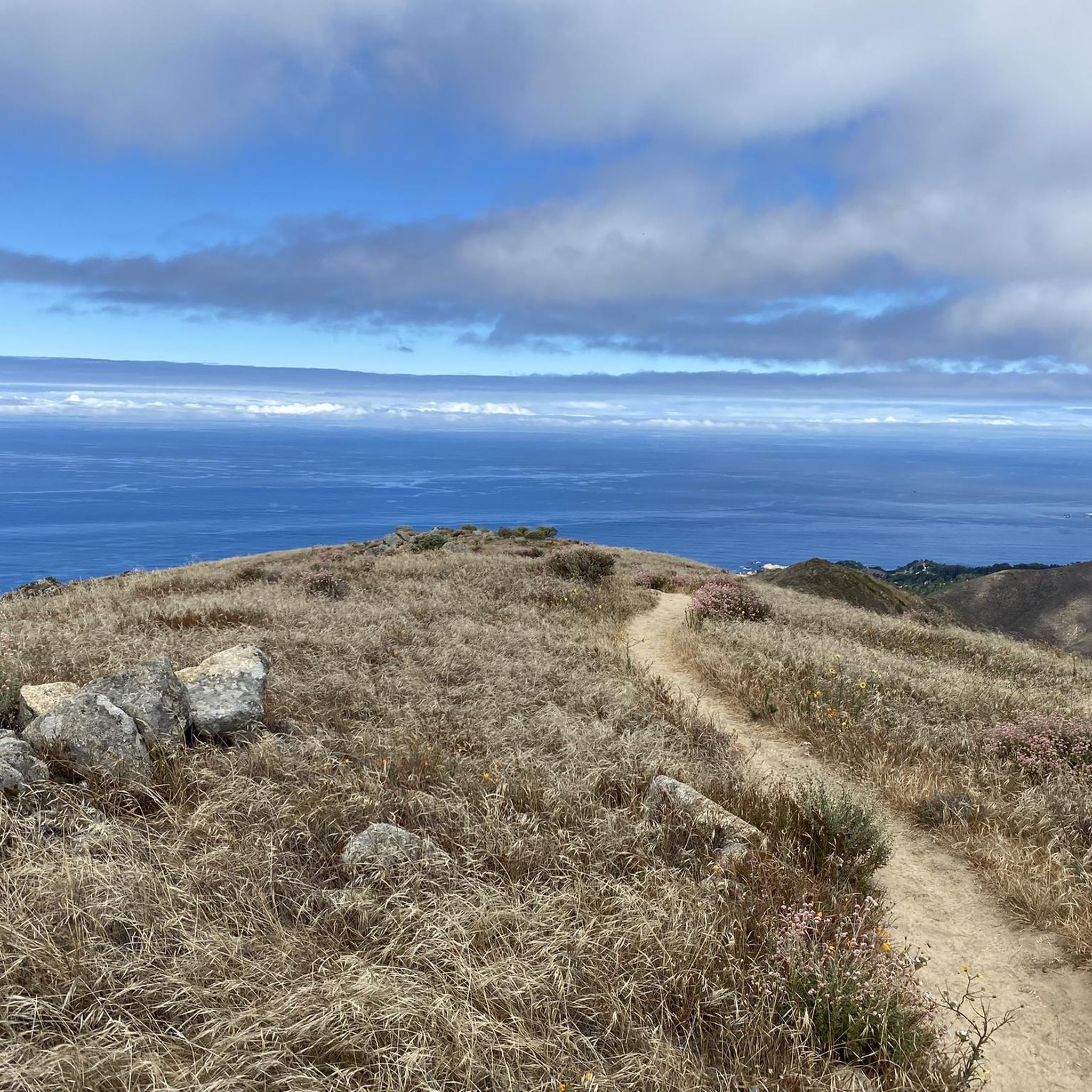
A classic Monterey County climb with sweeping switchbacks and big views over Carmel Valley. It’s a tough but rewarding ride—steady grades, little traffic, and a perfect spot to pause at the top and soak in the panorama before the fast descent.
0
0
Carmel Valley Village is a picturesque, small, rural community nestled in the rolling hills of Monterey County close to the coast and Carmel-by-the-Sea. Known for its world-class wineries, art galleries, and upscale resorts, it is relaxed yet fancy, with stunning views in every direction. There are plenty of highly rated restaurants and cafes here, ideal if you want to treat yourself to lunch during a long ride.
0
0
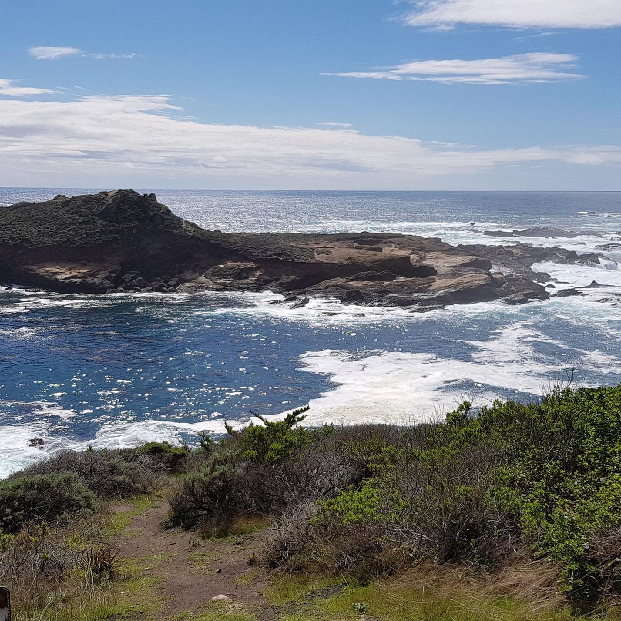
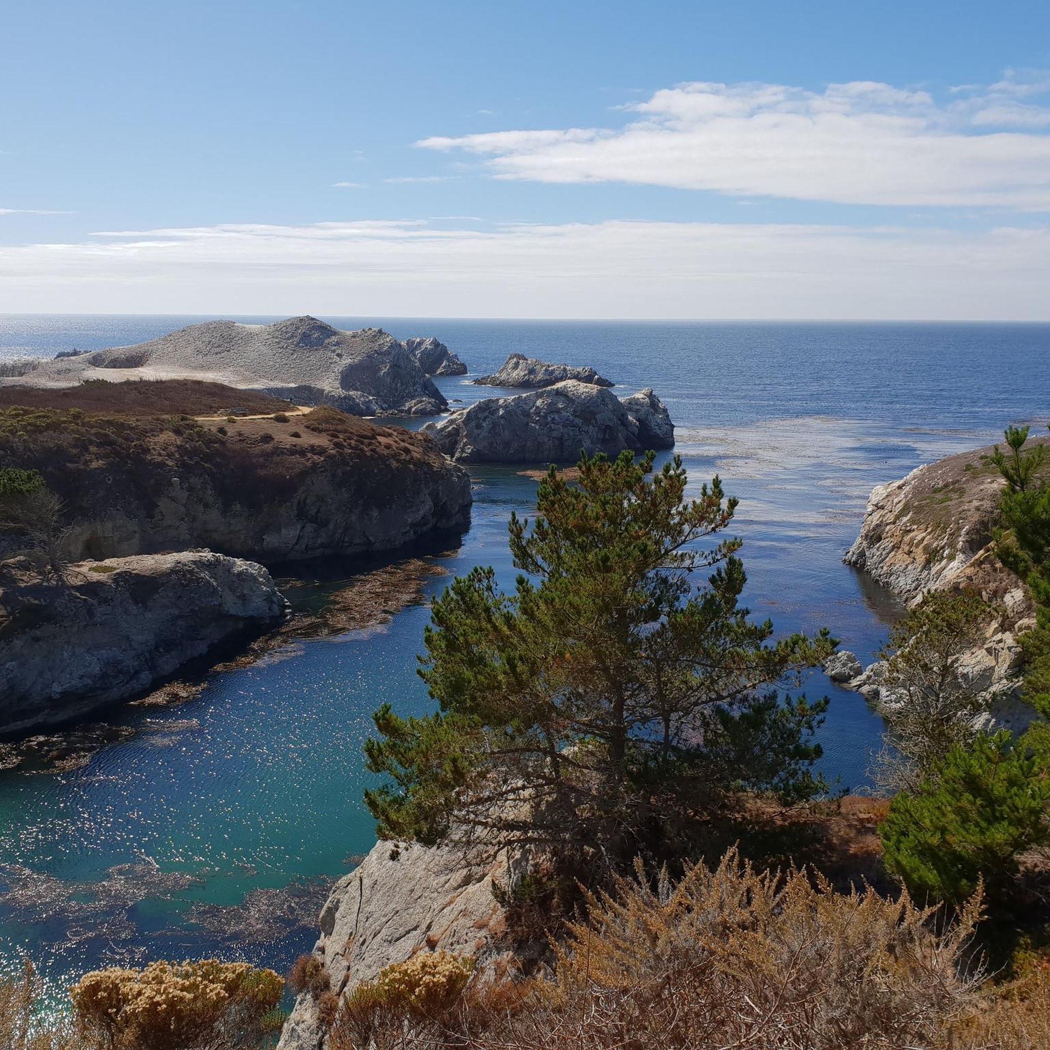
Pescadero Point is a fantastic spot to view the ghost trees and offers spectacular ocean views, along with fascinating rock formations. This area is known for its legendary big waves, which can reach heights of up to 50 feet (15 meters) in the winter, but it's a stunning sight to see any time of year. There is a manned gate at the entrance of the Pebble Beach Golf Course to access this location for vehicles, however, if you're on a bike you can pass for free.
0
0

Very beautiful, spacious beach with a great view. The sea is a bit rough (September) and cold for swimming (15°C). But for walking, jogging, ... a dream
1
0
Beautiful nature reserve along Route 1. Fantastic view of the sea. Not really suitable for swimming!
0
0

Sand City, California, a small city, is home to the scenic Sand City Beach. Once an industrial area, the dunes west of Highway 1 are now protected as part of the Eolian Dunes Preserve. The Sand City Beach Trail runs through the dunes, offering access to trails for hiking, biking, and leash pets. Sand City Beach is a top spot for beachcombing, especially for finding colorful sea glass, though walking barefoot is risky due to sharp edges.
1
0
Frequently Asked Questions
What kind of terrain and difficulty can I expect on road cycling routes in Palo Corona Regional Park?
Palo Corona Regional Park offers a diverse range of terrain for road cyclists. You'll find mostly well-paved surfaces, rolling hills, oak-studded woodlands, and open meadows. The park's elevation varies significantly, from near sea level to over 3,400 feet. This allows for routes catering to various fitness levels: from moderate rides with up to 1,000 feet of elevation gain to more challenging routes with up to 3,000 feet of climbing. There are 11 easy, 23 moderate, and 7 difficult road cycling routes available.
What scenic viewpoints or natural features can I see while cycling in the park?
Road cycling in Palo Corona Regional Park offers breathtaking scenery. You can enjoy panoramic views of the Pacific Ocean, Monterey Bay, Carmel Valley, and the Carmel coast, especially from ridges and points like Inspiration Point. The routes also wind through diverse ecosystems, including oak-studded woodlands, grassy fields, and dense forests. The Carmel River meanders through the park, and you might spot Animas Pond, a critical wetland habitat.
Are there family-friendly road cycling routes in Palo Corona Regional Park?
Yes, Palo Corona Regional Park has road cycling routes suitable for families. Many routes feature mostly well-paved surfaces and moderate elevation gains, making them accessible for cyclists of varying fitness levels. While specific 'family-friendly' routes aren't explicitly tagged, the 11 easy routes available on komoot are a great starting point for a less strenuous ride.
Where can I park when visiting Palo Corona Regional Park for road cycling?
Cyclists can conveniently access Palo Corona Regional Park via the Rancho Cañada unit entrance or the South Bank Trail entrance. No permit is required for entry at these points. Specific parking areas are available at these entrances, providing a good starting point for your ride.
What kind of wildlife might I encounter while road cycling in the park?
Palo Corona Regional Park is a critical habitat for native species and boasts rich biodiversity. While cycling, you might spot deer, various bird species like hawks, flickers, and turkey vultures. The park also supports coastal trout and steelhead fisheries in its perennial creeks, and the elusive mountain lion is known to inhabit the area, though sightings are rare.
When is the best time of year to go road cycling in Palo Corona Regional Park?
The park's grassy fields bloom vibrantly in spring, making it a particularly beautiful time to visit. Generally, the mild climate of the region allows for enjoyable road cycling throughout much of the year. However, checking local weather forecasts before your ride is always recommended.
Are there many loop routes available for road cycling in the area?
Yes, Palo Corona Regional Park and its surroundings offer numerous loop routes for road cycling. For example, you can explore the Roadbike loop from Rancho Cañada, a moderate 15.1-mile route. Another popular option is the Garrapata State Park 🏖️ – Rocky Creek Bridge loop from Carmel-by-the-Sea, which offers coastal scenery over 28.1 miles.
What do other cyclists say about road cycling in Palo Corona Regional Park?
The road cycling routes in Palo Corona Regional Park are highly rated by the komoot community, with an average score of 4.9 stars from over 30 reviews. Cyclists frequently praise the diverse landscapes, from oak-studded woodlands to rolling meadows, and the stunning Pacific Ocean views. Many appreciate the variety of routes catering to different ability levels.
Are there facilities or places to refuel near the cycling routes?
The newly constructed facilities at the Discovery Center within Palo Corona Regional Park include a picnic area, shaded seating, and restrooms, providing convenient amenities. For cafes or other refueling options, you would typically find these in nearby towns like Carmel-by-the-Sea or Carmel Valley, which are often starting points or pass-throughs for many routes.
How many road cycling routes are available in Palo Corona Regional Park?
There are over 40 road cycling routes available in and around Palo Corona Regional Park on komoot. These routes offer a wide range of distances and elevation profiles, ensuring there's something for every road cyclist.
Can I find challenging road cycling routes in Palo Corona Regional Park?
Absolutely. While there are many moderate routes, Palo Corona Regional Park also offers challenging options for experienced cyclists. Some routes feature significant elevation gains, reaching up to 3,000 feet over five hours, and may include more demanding segments. An example of a route with substantial climbing is the Summit of Robinson Canyon – Robinson Canyon Road loop from Mission San Carlos Borromeo de Carmelo.
Most popular routes in Palo Corona Regional Park

Get inspired with the komoot mobile app


Explore more
Browse the best Road cycling routes in other regions.
