The best MTB trails in Palo Corona Regional Park
5.0
(4)
52
riders
5
rides
Mountain bike trails in Palo Corona Regional Park traverse a diverse landscape of over 4,500 acres in Monterey County, California. The park features varied topography, including rolling hills, oak woodlands, chaparral-covered ridges, and riparian corridors along the upper Carmel River. Elevations range from near sea level to over 2,000 feet, providing a wide array of challenges and scenic vistas for mountain bikers. This extensive trail system offers options for different fitness and skill levels.
Best mountain bike trails in Palo Corona Regional Park
- The most popular mountain bike trail is Fort Ord Dunes State Park – Del Monte Beach loop from Monterey Regional Airport, an easy 17.9 miles (28.9 km) trail that takes 1 hour 36 minutes to complete. This route offers coastal views and relatively flat terrain.
- Another top favourite among local mountain bikers is Shoreline Park Path – Lovers Point Beach loop from Monterey State Beach, a moderate 28.5 miles (45.9 km) path. This trail winds along the coastline, providing scenic ocean vistas and varied surfaces.
- Local mountain bikers also love the Mudhen Lake – Trail 49 loop from Del Rey Oaks, a 25.6 miles (41.2 km) trail leading through diverse ecosystems with significant elevation gain, often completed in about 3 hours 19 minutes.
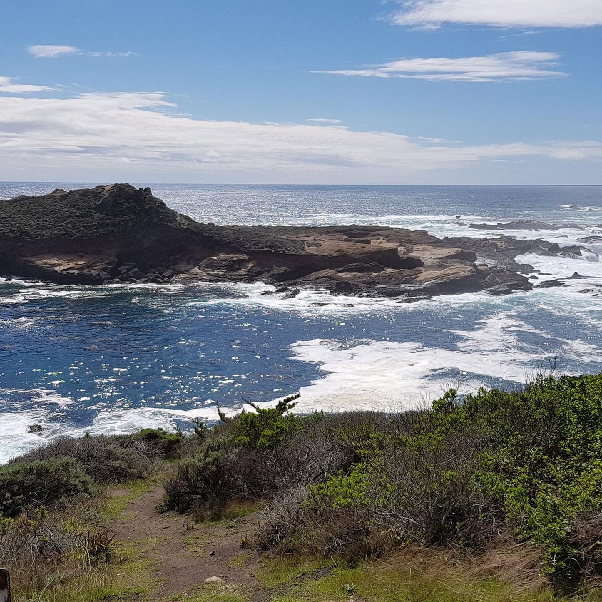
- Mountain biking in Palo Corona Regional Park is defined by rolling hills, oak woodlands, and chaparral-covered ridges, with spectacular views of the Pacific Ocean and Santa Lucia Mountains. The network offers options for different ability levels, from easy loops to challenging climbs.
- The routes in Palo Corona Regional Park are highly rated by the komoot community with an average score of 5.0 stars from a small number of reviews. More than 40 mountain bikers have used komoot to explore Palo Corona Regional Park's varied terrain.
Last updated: September 30, 2026
5.0
(2)
35
riders
44.7km
02:26
260m
260m
Moderate mountain bike ride. Good fitness required. Suitable for all skill levels.
5.0
(1)
9
riders
Easy mountain bike ride. Great for any fitness level. Suitable for all skill levels.

3
riders
41.2km
03:20
670m
670m
Hard mountain bike ride. Good fitness required. Advanced riding skills necessary. Some portions of the route may require you to push your bike.
5.0
(1)
2
riders
Moderate mountain bike ride. Good fitness required. Suitable for all skill levels.
3
riders
96.9km
05:58
1,060m
1,060m
Hard mountain bike ride. Very good fitness required. Advanced riding skills necessary.
Our route recommendations are based on thousands of hikes, rides, and runs completed by other people on komoot.
Start today with a free account
Your next adventure awaits.
Tips from the Community


Mudhen Lake is a nice spot to pause and take in the rural scenery. The calm lake views make a pleasant break for stretching, refilling bottles, and enjoying a moment of stillness before rolling on.
0
0
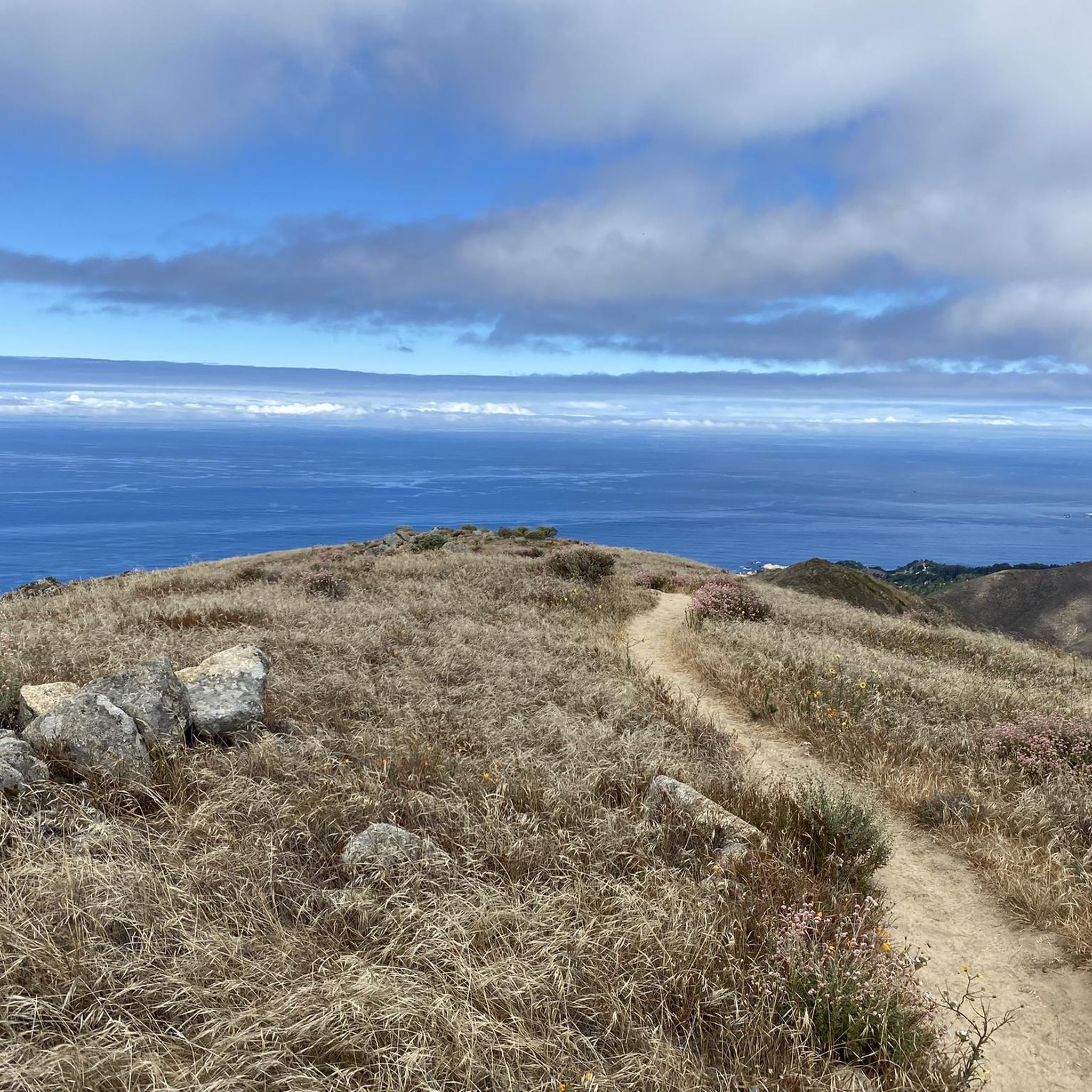
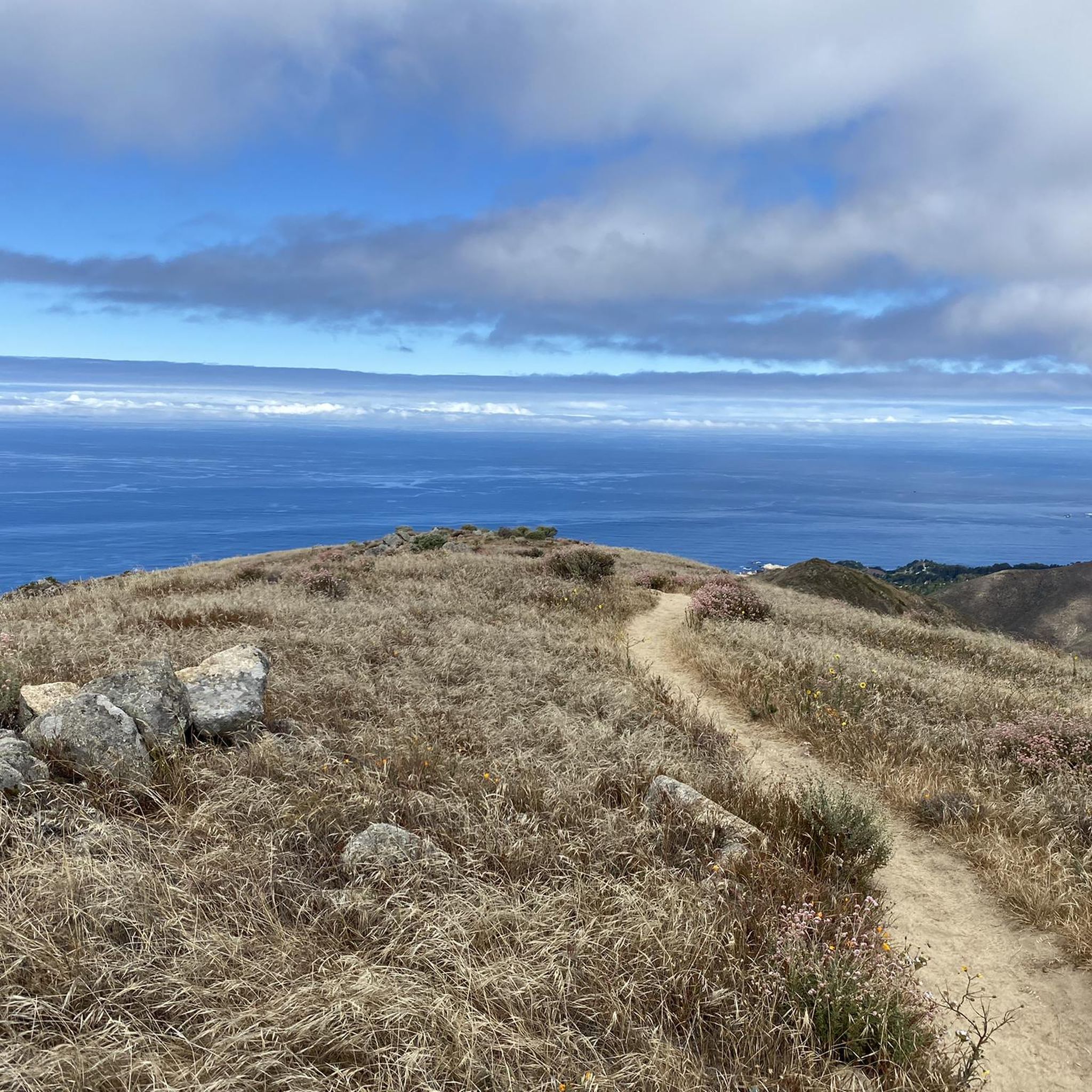
A classic Monterey County climb with sweeping switchbacks and big views over Carmel Valley. It’s a tough but rewarding ride—steady grades, little traffic, and a perfect spot to pause at the top and soak in the panorama before the fast descent.
0
0

Moss Beach is partially sand and partially pebbles. It looks out into the ocean and bay, and there is a large parking area next to the road.
0
0

El Estero Park is centered around Lake El Estero and has a skate park and multiple fishing piers. There's a 1.2-mile gravel trail that circles the lake.
0
0

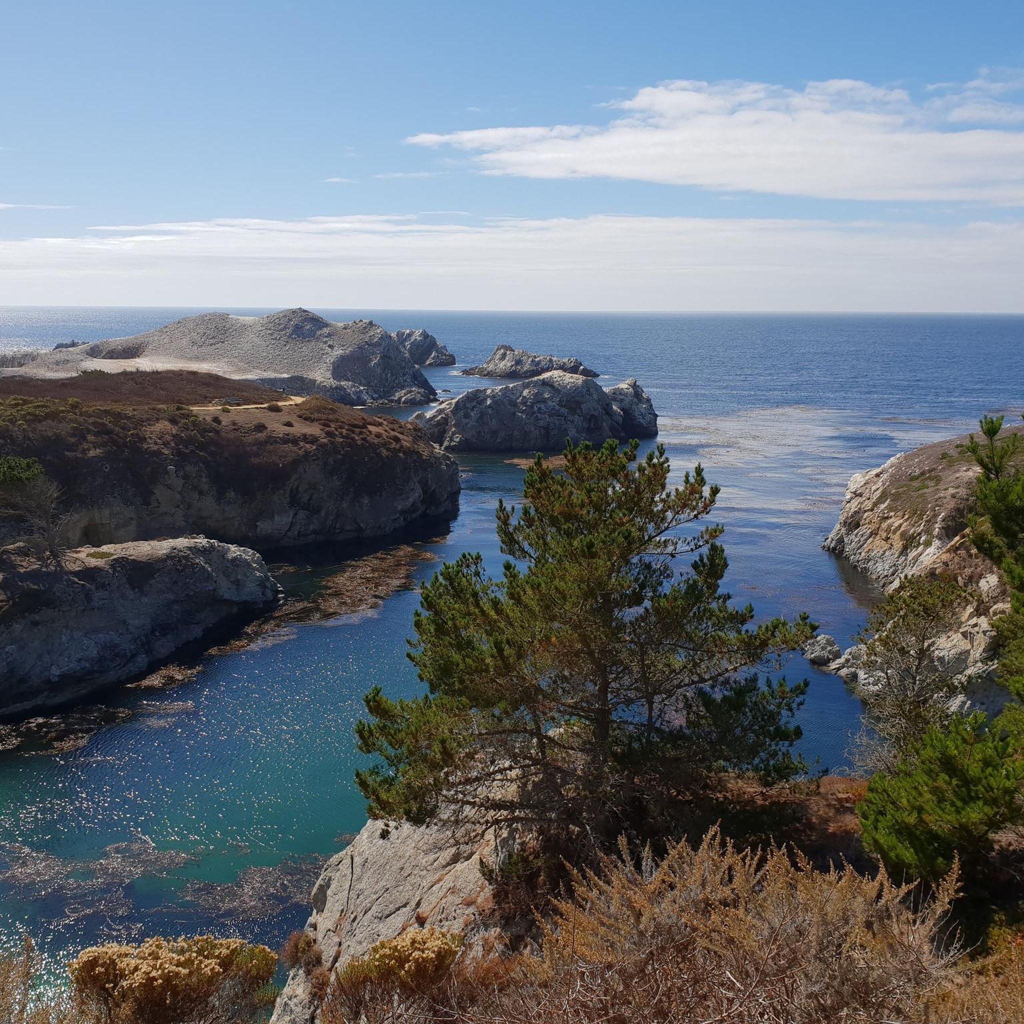
Pescadero Point is a fantastic spot to view the ghost trees and offers spectacular ocean views, along with fascinating rock formations. This area is known for its legendary big waves, which can reach heights of up to 50 feet (15 meters) in the winter, but it's a stunning sight to see any time of year. There is a manned gate at the entrance of the Pebble Beach Golf Course to access this location for vehicles, however, if you're on a bike you can pass for free.
0
0

Asilomar State Beach is a small and narrow 1-mile strip of soft, sandy beach and rugged Pacific coastline.
0
0

Nice, small lake in Laguna Seca Recreational Area. It is right along Trail 71, so it is a great place for a quick break to enjoy the peaceful setting.
0
0
Frequently Asked Questions
What types of mountain bike trails can I find in Palo Corona Regional Park?
Palo Corona Regional Park offers a diverse range of mountain bike trails, from easy coastal loops to more challenging routes with significant elevation gain. The park's varied topography includes rolling hills, oak woodlands, chaparral-covered ridges, and riparian corridors, providing a wide array of scenic vistas and riding experiences.
Are there mountain bike trails suitable for beginners in Palo Corona Regional Park?
Yes, there are options for beginners. An easy route like the Fort Ord Dunes State Park – Del Monte Beach loop from Monterey Regional Airport offers coastal views and relatively flat terrain, making it a good choice for those new to mountain biking. Another easy option is the Fan Shell Beach – Lovers Point Beach loop from Monterey.
Which mountain bike trails offer the most challenging rides?
For experienced riders seeking a challenge, the Mudhen Lake – Trail 49 loop from Del Rey Oaks is a difficult trail that leads through diverse ecosystems with significant elevation gain, testing both fitness and technical skills.
Are there any loop trails for mountain biking in the park?
Yes, several routes in the park are designed as loops. Examples include the easy Fort Ord Dunes State Park – Del Monte Beach loop from Monterey Regional Airport and the more challenging Mudhen Lake – Trail 49 loop from Del Rey Oaks. These loops allow you to start and finish at the same point, offering varied scenery throughout your ride.
What kind of views can I expect on the mountain bike trails?
Riders can enjoy spectacular views of the Pacific Ocean, the Santa Lucia Mountains, and distant coastal valleys. Inspiration Point, for instance, offers panoramic views of Carmel Valley and the Pacific Ocean after a moderate climb. Trails also wind through oak woodlands and chaparral, providing diverse natural scenery.
What is the best time of year to go mountain biking in Palo Corona Regional Park?
The park is generally accessible year-round. However, the best times are typically during the spring and fall when temperatures are milder and the weather is more stable. Winter riding is possible, but trails may be muddy after rain. Summer can be warm, so early morning rides are often preferred.
Are dogs allowed on the mountain bike trails in Palo Corona Regional Park?
Palo Corona Regional Park is generally dog-friendly, but specific rules regarding leashes and trail access may vary. It's always best to check the official Monterey Peninsula Regional Park District guidelines before bringing your dog to ensure compliance with current regulations.
What wildlife might I encounter while mountain biking in the park?
The park protects significant habitat areas and wildlife corridors, so you might encounter abundant wildlife. This includes black-tailed deer, bobcats, and various bird species such as raptors and migratory songbirds. The park is also home to rare amphibians and insects, adding to its ecological richness.
Is there parking available for mountain bikers at Palo Corona Regional Park?
Yes, parking facilities are available at various access points to Palo Corona Regional Park. Specific parking areas are typically designated for trail users, but it's advisable to check the park's official website or signage for the most current information on parking locations and any potential fees or restrictions.
What do other mountain bikers enjoy the most about riding in Palo Corona Regional Park?
The area is highly rated by the komoot community, with an average score of 5.0 stars. Reviewers often praise the diverse terrain, the stunning scenic vistas of the Pacific Ocean and Santa Lucia Mountains, and the opportunity to experience a critical environmental link in a protected wildland corridor.
Are there any specific rules or permits required for mountain biking in Palo Corona Regional Park?
Mountain biking is generally permitted on designated multi-use trails within Palo Corona Regional Park. While specific permits are not typically required for general access, it's crucial to adhere to park rules, such as staying on marked trails, respecting wildlife, and controlling your speed. Always check the Monterey Peninsula Regional Park District's official website for any updated regulations or specific trail closures.
Are there any family-friendly mountain bike trails in Palo Corona Regional Park?
For families looking for a less strenuous ride, the park offers easier trails that are suitable for a family outing. The Fort Ord Dunes State Park – Del Monte Beach loop from Monterey Regional Airport is an easy option with relatively flat terrain and coastal views, providing an enjoyable experience for various skill levels within the family.
Most popular routes in Palo Corona Regional Park

Get inspired with the komoot mobile app


Explore more
Browse the best MTB trails in other regions.
