The best cycling routes in Mclaughlin Eastshore State Park
4.7
(522)
10,348
riders
213
rides
Touring cycling in Mclaughlin Eastshore State Park features an extensive network of routes along the San Francisco Bay shoreline. The park encompasses 8.5 miles of diverse environments, including tidal marshes, mudflats, and beaches, providing varied terrain for cyclists. Much of the cycling infrastructure consists of paved surfaces, making it suitable for various skill levels. The landscape combines natural systems with restored wetlands, offering panoramic views of the Bay, city skyline, and Golden Gate Bridge.
Best touring cycling routes in Mclaughlin Eastshore State Park
- The most popular touring cycling route is Cedar Rose Park – Inspiration Point Overlook loop from Berkeley, a 22.3 miles (35.9 km) trail that takes 2 hours 45 minutes to complete. This route features significant elevation gain, offering expansive views of the surrounding area.
- Another top favourite among local touring cyclists is Berkeley Beach – Point Emery loop from McLaughlin Eastshore State Park, an easy 4.2 miles (6.7 km) path. This route follows the shoreline, providing direct access to beaches and views across the Bay.
- Local touring cyclists also love the San Francisco Bay Trail, a 15.0 miles (24.1 km) trail leading through the San Francisco Bay shoreline, often completed in about 1 hour 25 minutes.
- Touring cycling in Mclaughlin Eastshore State Park is defined by shoreline paths, restored wetlands, and panoramic Bay views. The network offers options for different ability levels, from easy loops to more challenging rides with elevation.
- The routes in Mclaughlin Eastshore State Park are highly rated by the komoot community with an average score of 4.6 stars from over 400 reviews. More than 7000 touring cyclists have used komoot to explore Mclaughlin Eastshore State Park's varied terrain.
Last updated: August 24, 2026
5.0
(1)
35
riders
36.4km
03:04
670m
670m
Hard bike ride. Very good fitness required. Mostly paved surfaces. Suitable for all skill levels.
7
riders
Easy bike ride. Great for any fitness level. Mostly paved surfaces. Suitable for all skill levels.

Sign up for free
6
riders
31.7km
02:24
620m
620m
Hard bike ride. Very good fitness required. Mostly paved surfaces. Suitable for all skill levels.
4.9
(8)
124
riders
60.1km
03:29
170m
170m
Moderate bike ride. Good fitness required. Mostly paved surfaces. Suitable for all skill levels.
43
riders
91.5km
05:25
450m
450m
Hard bike ride. Very good fitness required. Mostly paved surfaces. Suitable for all skill levels.
Get access to more routes and recommendations from other explorers.
Sign up for free
Already have an account?
Our route recommendations are based on thousands of hikes, rides, and runs completed by other people on komoot.
Start today with a free account
Your next adventure awaits.
Login or Signup
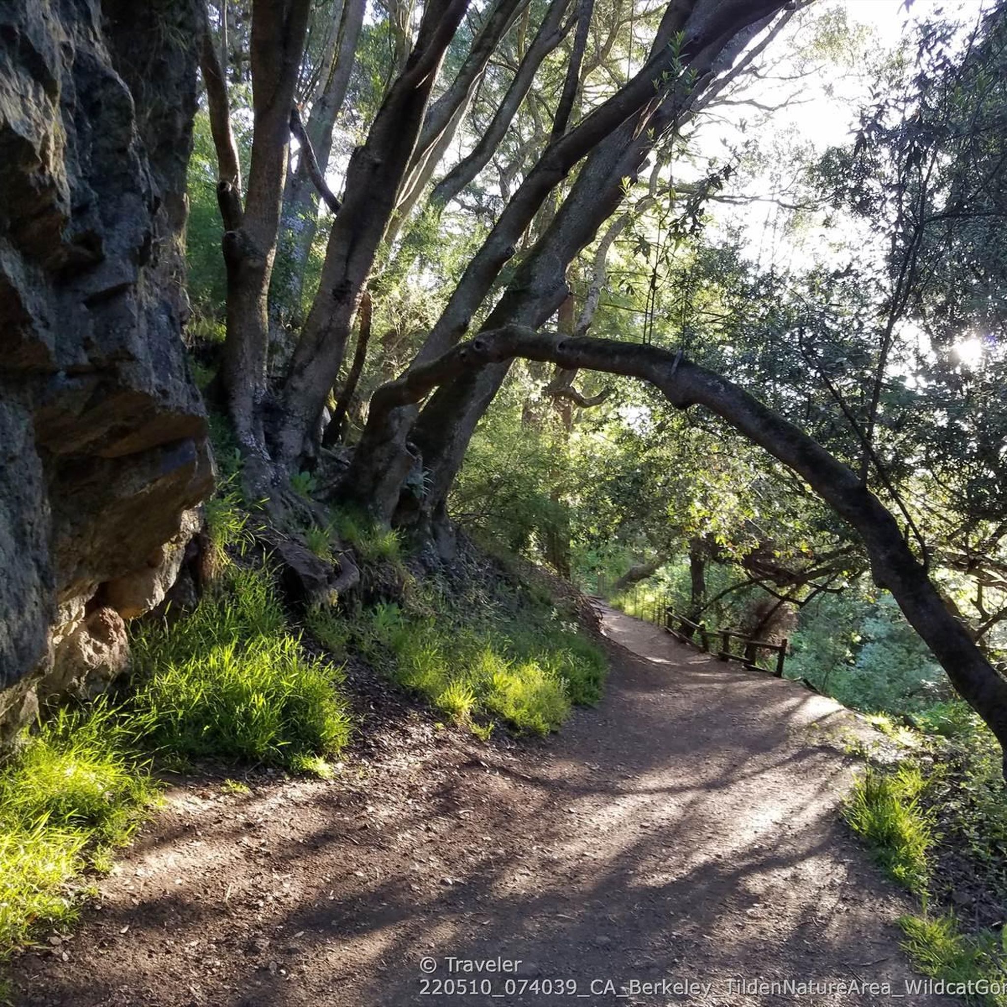
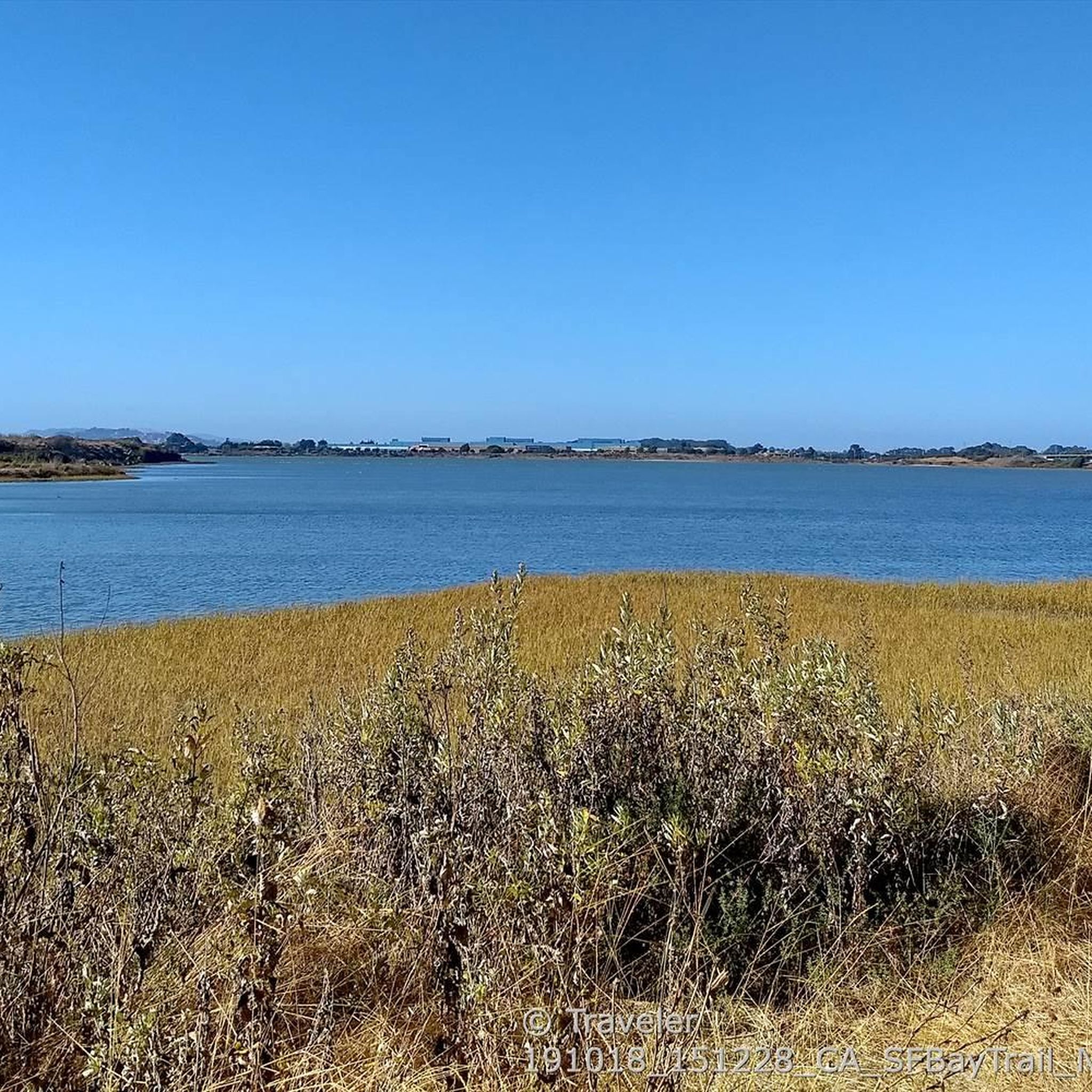
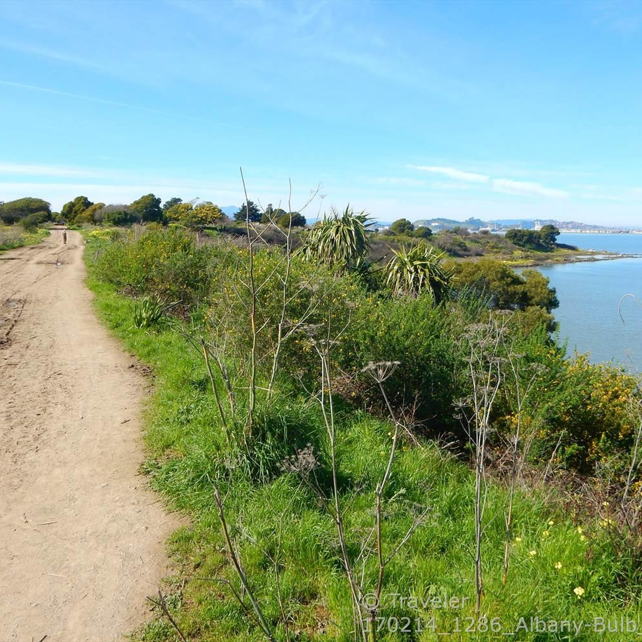

Tips from the Community

If you're coming from North Point Isabel, when you reach the Richmond Bay & San Francisco Bay Trails Junction, you have two options. Take a right to hop onto the Richmond Bay Trail. If you are coming from the Richmond Bay Trail, you can turn to join the San Francisco Bay Trail. This will lead you to McLaughlin Eastshore State Park and further down to Berkeley.
1
0

Point Emery, located on the SF Bay Trail, is a charming little park with stellar bay views, walking paths, and relaxation spots with benches along the trails. Open daily from 5 AM to 10 PM, Point Emery provides a perfect outdoor setting for families and dog owners, with designated off-leash areas for pets. The park features two launches: a wide sandy beach north of the parking lot and a narrow set of stairs near the Point, making it popular for kayakers, paddleboarders, and kiteboarders. The short walk to the beach, through small dunes and down steps, gives way to a beautiful stretch of golden sand. Although there are no public transportation services nearby, a good amount of parking is available.
0
0

This Pedestrian- Bicycle bridge connects the Aquatic Park North Trailhead of the San Francisco Bay Trail with the rest of the costal trail over the bustling I-80 Highway. From the top of the bridge you get nice views over the Bay to San Francisco, and Oakland.
0
0

Excellent paved bike / multi-use trail along the water, part of the - eternally unfinished - San Francisco Bay Trail project
0
1

fantastically beautiful here and with great cycle paths, well signposted
2
0
great to cycle here, I really enjoyed it
2
0
The Shoreline Path is a flat, multi-use trail along the waterfront with a combination of paved and gravel surfaces. This trial is open to walkers, runners, or cyclists to enjoy the scenic waterfront views.
0
0
San Quentin is one of the most famous prisons in the United States. It currently has the largest death row in the country and has been the site of 500 executions. Today, it still remains the men's only "death row" facility in California. As the state's oldest correctional institution, San Quentin is a maximum-security cell block, a medium-security dormitory, and a minimum-security firehouse, so don't feel nervous riding by it.
0
0
Frequently Asked Questions
How many touring cycling routes are available in McLaughlin Eastshore State Park?
McLaughlin Eastshore State Park offers a wide variety of touring cycling routes, with over 210 options available. These routes cater to different skill levels, including approximately 88 easy, 58 moderate, and 66 difficult trails.
What kind of terrain can I expect on the touring cycling routes in McLaughlin Eastshore State Park?
The park's touring cycling routes primarily follow the San Francisco Bay Trail, offering largely well-paved surfaces. You'll experience diverse environments, including extensive shoreline paths, restored wetlands, tidal marshes, and mudflats. While many routes are flat, some, particularly those extending further inland, may include significant elevation gains.
What natural features or landmarks can I see while cycling in McLaughlin Eastshore State Park?
While cycling, you'll encounter rich tidal marshes, expansive mudflats like the Emeryville Crescent, and various beaches. A unique landmark to explore is the Albany Bulb, known for its distinctive artwork and labyrinth. You can also pass by the Point Isabel Regional Shoreline Park and the Berkeley Marina ⛵.
Are there specific viewpoints or scenic spots along the cycling routes?
Absolutely. A major draw of cycling in McLaughlin Eastshore State Park is the spectacular, panoramic views. You'll enjoy breathtaking vistas of the San Francisco Bay, the city skyline, and the iconic Golden Gate Bridge from many points along the shoreline paths. The Point Isabel area also offers excellent views.
Are there any circular touring cycling routes in McLaughlin Eastshore State Park?
Yes, the park features several excellent circular routes. For an easy ride, consider the Horton Landing Park – Alexander Zuckermann Path loop from Emeryville, which covers 11.1 miles (17.9 km). For a more challenging option with significant elevation, the Cedar Rose Park – Inspiration Point Overlook loop from Berkeley is a 22.3-mile (35.9 km) route offering expansive views.
What is the best time of year to go touring cycling in McLaughlin Eastshore State Park?
The park is generally pleasant for cycling year-round. However, spring and fall often offer the most comfortable temperatures and clear skies, providing the best conditions for enjoying the panoramic Bay views. Summer can be warm, and winter might bring occasional rain, but the paved trails remain accessible.
Is parking available for touring cyclists at McLaughlin Eastshore State Park?
Yes, there are various parking areas available along the park's extensive shoreline, particularly near popular access points and trailheads. Specific parking availability can vary, so it's advisable to check maps or local information for the most convenient spots depending on your starting point.
Can I reach McLaughlin Eastshore State Park by public transport for cycling?
The park is accessible via public transport, particularly from nearby cities like Berkeley and Emeryville. Various bus routes and BART (Bay Area Rapid Transit) stations are located within a reasonable distance, allowing cyclists to connect to the Bay Trail and other park entrances. It's recommended to check local transit schedules for the most up-to-date information.
Are the touring cycling routes in McLaughlin Eastshore State Park suitable for families?
Many of the routes along the shoreline are very family-friendly, especially the easier, flatter sections of the San Francisco Bay Trail. For example, the Berkeley Beach – Point Emery loop from McLaughlin Eastshore State Park is an easy 4.2-mile (6.7 km) path that provides direct access to beaches and views, making it ideal for families.
Are dogs allowed on the touring cycling routes in McLaughlin Eastshore State Park?
Yes, dogs are generally welcome on leash on the trails within McLaughlin Eastshore State Park. The park is known for being dog-friendly, particularly areas like Point Isabel Regional Shoreline Park, which even features an off-leash area. Always ensure your dog is under control and follow park regulations.
What do other touring cyclists enjoy most about cycling in McLaughlin Eastshore State Park?
The area is highly rated by the komoot community, with an average score of 4.6 stars from over 440 reviews. Reviewers often praise the stunning panoramic views of the San Francisco Bay, the city skyline, and the Golden Gate Bridge, as well as the well-maintained, accessible shoreline paths that make for an enjoyable ride.
Are there longer touring cycling routes for experienced riders seeking a challenge?
Yes, for experienced riders looking for a longer and more challenging tour, the park offers routes with significant distance and elevation. The Richmond Bay Trail – Point Emery loop from Emeryville is a difficult 56.9-mile (91.5 km) route with over 449 meters of elevation gain, providing an extensive exploration of the Bay shoreline.
Most popular routes in Mclaughlin Eastshore State Park
Most popular attractions in Mclaughlin Eastshore State Park

Get inspired with the komoot mobile app


Explore more
Browse the best Cycling routes in other regions.
