The best running trails in Pawtuckaway State Park
34
runners
7
runs
Jogging routes in Pawtuckaway State Park traverse a landscape characterized by rolling hills, dense woodlands, and several ponds and lakes. The park offers a mix of terrain, from established trails winding through forests to paths that ascend to viewpoints. Elevations are generally moderate, with some routes featuring sustained climbs to higher ground.
Best jogging routes in Pawtuckaway State Park
- The most popular jogging route is Pawtuckaway State Park – South Mount Pawtuckaway loop from Nottingham, a 10.0 miles (16.1…
Last updated: July 7, 2026
2
runners
13.6km
01:43
180m
180m
Hard run. Good fitness required. Sure-footedness, sturdy shoes and alpine experience required.
5.80km
00:40
100m
100m
Moderate run. Good fitness required. Mostly paved surfaces. Suitable for all skill levels.

Sign up for free
14
runners
16.5km
02:09
250m
250m
Hard run. Very good fitness required. Sure-footedness, sturdy shoes and alpine experience required.
5
runners
9.76km
01:21
330m
330m
Hard run. Very good fitness required. Mostly paved surfaces. Suitable for all skill levels.
1
runners
15.6km
01:38
90m
90m
Hard run. Very good fitness required. Mostly paved surfaces. Suitable for all skill levels.
Get access to more routes and recommendations from other explorers.
Sign up for free
Already have an account?
Our route recommendations are based on thousands of hikes, rides, and runs completed by other people on komoot.
Start today with a free account
Your next adventure awaits.
Login or Signup

Tips from the Community

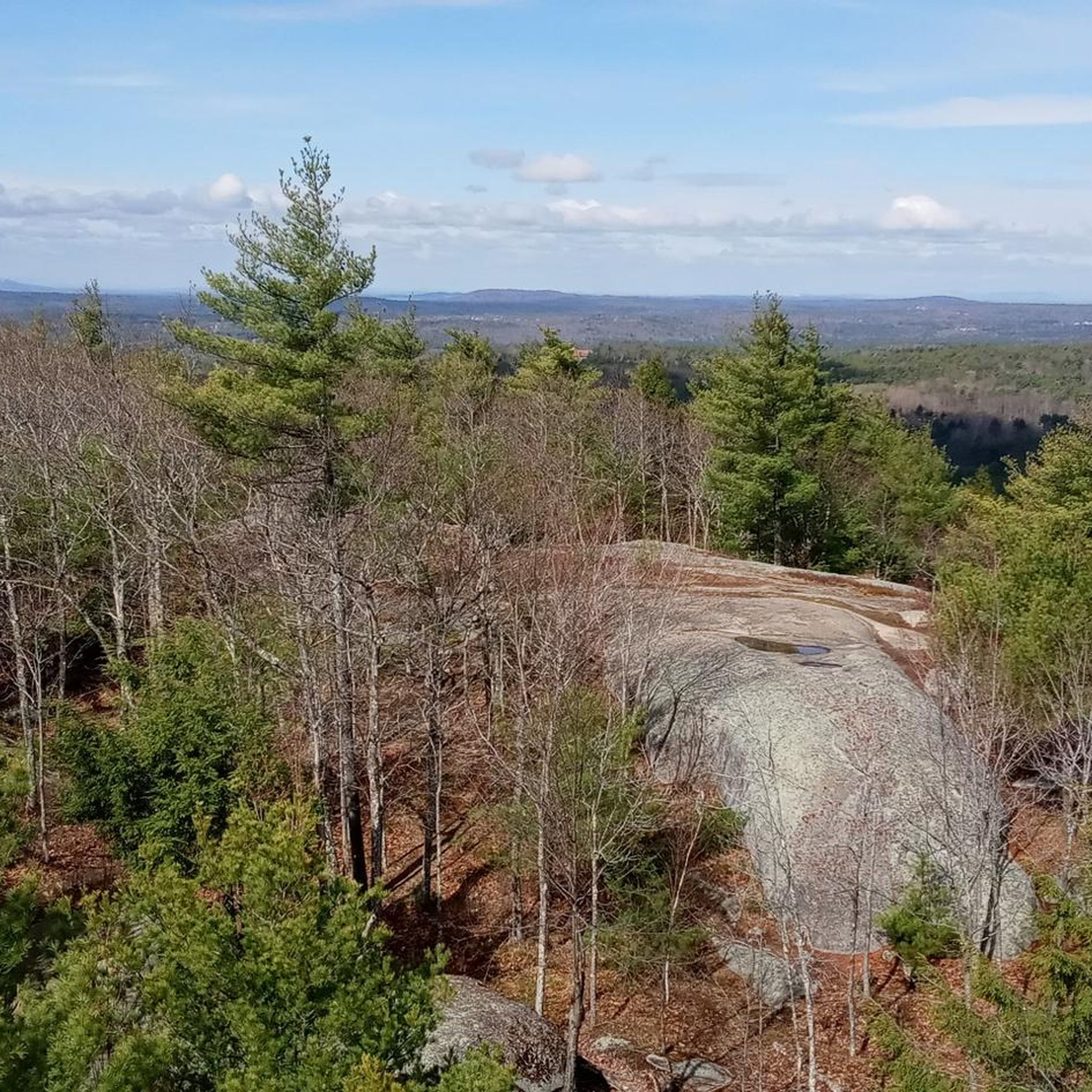
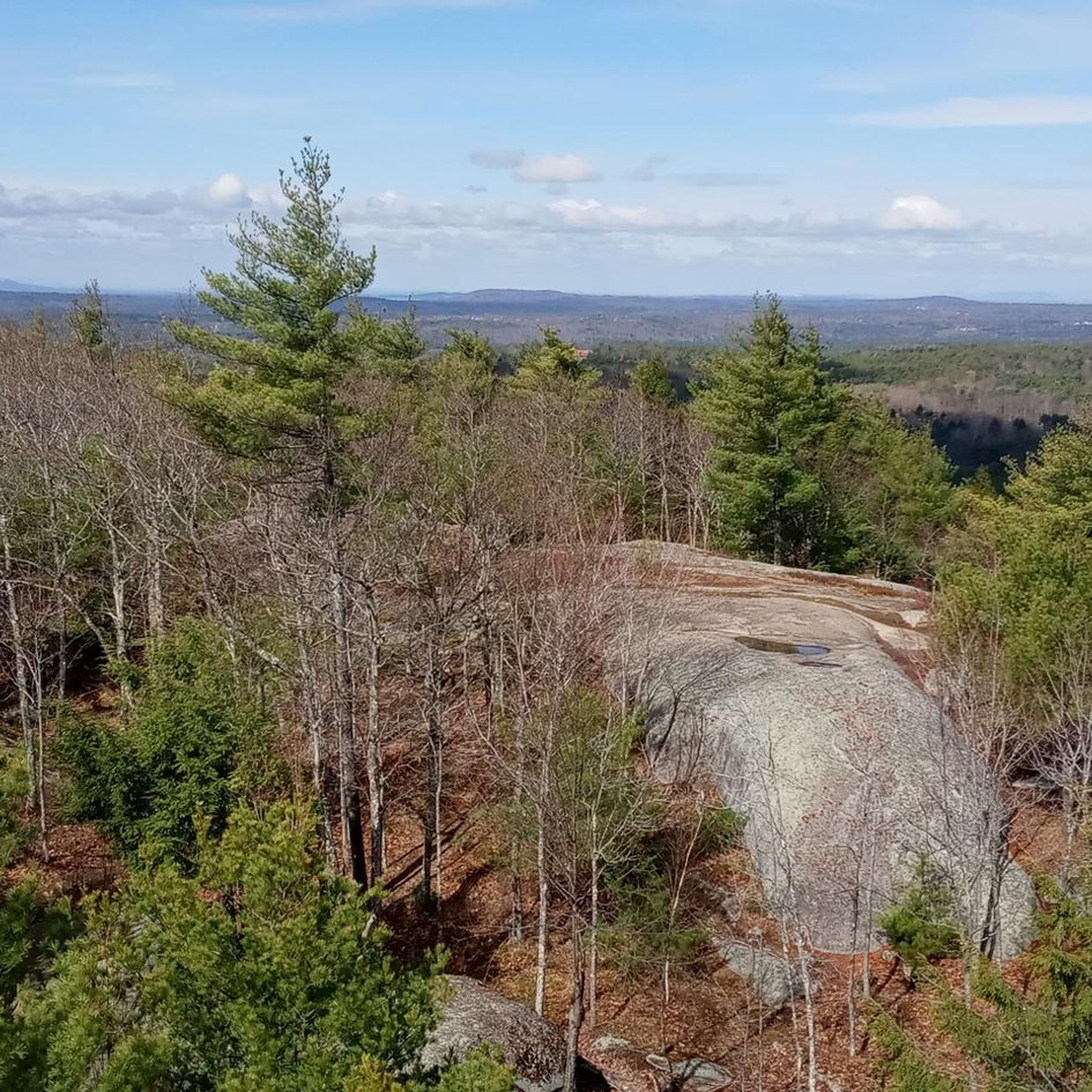
Pawtuckaway State Park is a popular park in Rockingham County. There are multiple great trails to choose from, several lakes, restrooms and picnic areas.
0
0

Pawtuckaway State Park encompasses over 5,000 acres and gets its name from Pawtuckaway Lake and the Pawtuckaway Mountains. The park is one of the biggest parks in the state and includes a bunch of hiking trails, a campground, and lake access.
0
0
Rockingham Recreational Rail Trail is a 25-mile rail trail that runs from Manchester to Newfields. The path goes through small towns, forests and wetlands.
0
0
Pawtuckaway State Park encompasses over 5,000 acres and gets its name from Pawtuckaway Lake and the Pawtuckaway Mountains. The park is one of the biggest parks in the state and includes a bunch of hiking trails, a campground, and lake access.
0
0
The trail passing over the summit of North Mount Pawtuckaway is tough singletrack hiking. There are some openings in the trees along the ridge that offer views of the surrounding mountains, but most of the mountain is covered in trees and blocks most views along the trail.
1
0

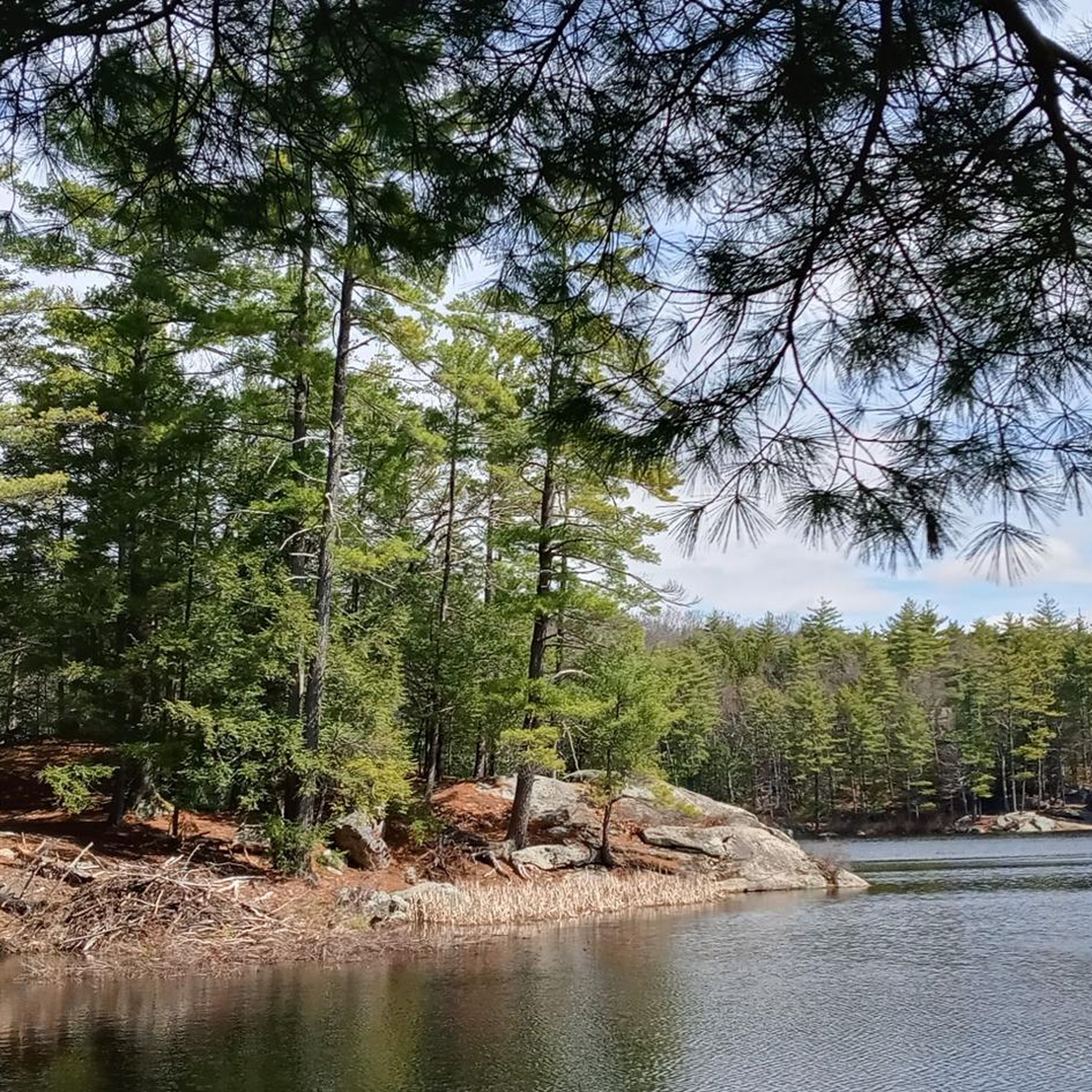
This pond is connected to Pawtuckaway Lake through Mountain Brook, from which it derives its name. It's a peaceful area that serves as a good resting point, allowing you to embrace the beautiful surroundings.
1
0

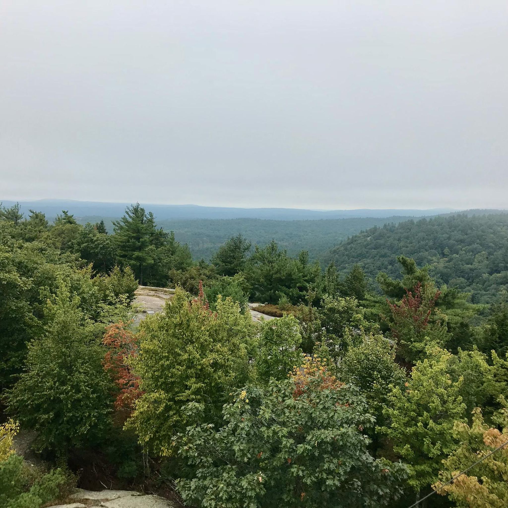
Although it's only 908 feet high, South Mount Pawtuckaway is the second-highest peak in Pawtuckaway State Park. It has a fire lookout tower and offers great views of the surrounding area.
0
0
Onway Lake is a small reservoir in Raymond. There is a large, wooded area around the lake so it is easy to find a quiet area for a break.
0
0
Frequently Asked Questions
What types of terrain can I expect on the running trails in Pawtuckaway State Park?
Pawtuckaway State Park offers a diverse running experience with trails traversing rolling hills, dense woodlands, and paths alongside several ponds and lakes. You'll find a mix of established trails and some routes that ascend to scenic viewpoints.
Are there any easy running routes for beginners in Pawtuckaway State Park?
While many routes in Pawtuckaway State Park are rated moderate to difficult, the Mountain Trail and Round Pond Trail Loop is a moderate option, covering 3.6 miles (5.8 km) and typically completed in about 40 minutes. It offers a good introduction to the park's woodlands and pond-side paths.
What are the typical distances and durations for running routes in Pawtuckaway State Park?
Running routes in the park vary significantly. For instance, the Pawtuckaway State Park – South Mount Pawtuckaway loop from Nottingham is a longer, difficult trail at 10.0 miles (16.1 km) taking over 2 hours. Shorter, moderate options like the Mountain Trail and Round Pond Trail Loop are around 3.6 miles (5.8 km) and can be completed in about 40 minutes.
Are there any circular jogging trails available in Pawtuckaway State Park?
Yes, many of the park's running paths are circular, allowing you to start and end at the same point. Examples include the popular Pawtuckaway State Park – South Mount Pawtuckaway loop from Nottingham and the Mountain Trail and Round Pond Trail Loop.
What kind of elevation changes should I expect on the running trails?
The park features generally moderate elevations, but some routes include sustained climbs to higher ground. For example, the North Mountain Trail – South Mount Pawtuckaway loop from Deerfield involves significant elevation gain to reach scenic overlooks.
What do other runners enjoy most about jogging in Pawtuckaway State Park?
The komoot community frequently praises the diverse terrain, from forested trails to pond-side paths, and the rewarding ascents to hills offering great views. Over 60 runners have explored the park's varied landscape using komoot, highlighting its natural beauty and varied challenges.
Are there any longer, more challenging running routes for experienced runners?
Absolutely. For experienced runners seeking a challenge, the Shaw Trail is a difficult 8.5-mile (13.6 km) route, and the North Mountain Trail – South Mount Pawtuckaway loop from Deerfield offers a difficult 7.2-mile (11.6 km) path with significant climbs and scenic overlooks.
What are some scenic highlights or points of interest along the running routes?
Many routes wind through dense woodlands and past the park's numerous ponds and lakes, offering tranquil views. Trails also lead to various viewpoints, particularly on routes that ascend the park's hills, providing panoramic vistas of the surrounding area.
How many running routes are available in Pawtuckaway State Park?
There are at least 10 distinct running routes documented for Pawtuckaway State Park on komoot, offering a range of experiences from moderate to difficult.
Is Pawtuckaway State Park suitable for a longer running adventure?
Yes, for those looking for a longer run, the Mountain Brook Pond – South Mount Pawtuckaway loop from Horse Island is a moderate 6.1-mile (9.8 km) route that provides a substantial workout through varied park scenery.
Most popular routes in Pawtuckaway State Park

Get inspired with the komoot mobile app


Explore more
Browse the best Running Trails & Routes in other regions.
