The best road cycling routes in Topanga State Park
4.5
(120)
9,177
riders
194
rides
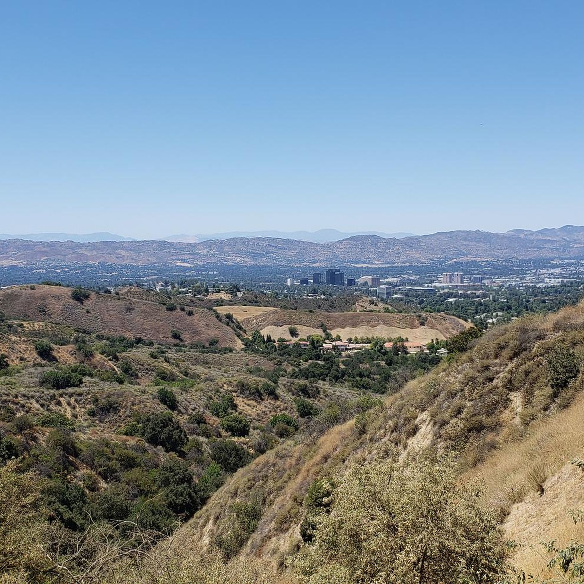
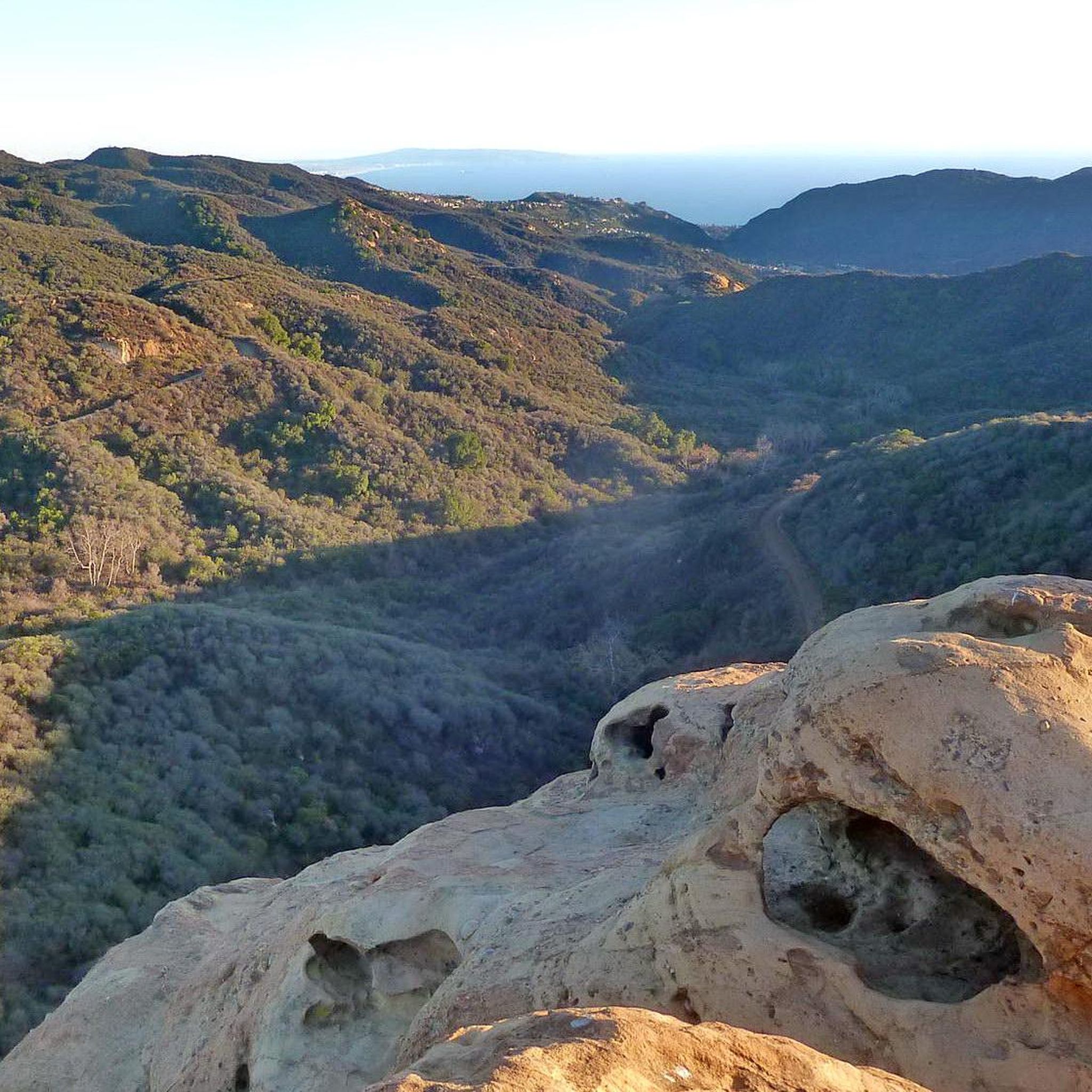
Road cycling routes in Topanga State Park traverse the diverse landscape of the Santa Monica Mountains, offering challenging climbs and significant elevation gains. The region is characterized by chaparral-covered mountains, live oak woodlands, and deep canyons. Cyclists can experience panoramic views of the Pacific Ocean and the San Fernando Valley from various vantage points. This area provides a unique urban escape with its extensive network of roads suitable for road cycling.
Best road cycling routes in Topanga State Park
- The most popular road cycling route is Saddle Peak Loop, a 37.2 miles (59.8 km) trail that takes 3 hours 25 minutes to complete. This route features challenging ascents and panoramic views across the Santa Monica Mountains.
- Another top favourite among local road cyclists is Mulholland Highway Loop, a difficult 59.4 miles (95.6 km) path. This demanding route includes significant elevation gain along a scenic highway.
- Local road cyclists also love the Latigo Canyon Loop, a 59.5 miles (95.7 km) trail leading through varied terrain with considerable elevation, often completed in about 4 hours 51 minutes.
- Road cycling in Topanga State Park is defined by challenging climbs through canyons, scenic roads with ocean views, and varied ecosystems including oak woodlands and chaparral. The network offers options for different ability levels, though many routes feature significant elevation.
- The routes in Topanga State Park are highly rated by the komoot community with an average score of 4.5 stars from nearly 90 reviews. More than 8,000 road cyclists have used komoot to explore Topanga State Park's varied terrain.
Last updated: October 2, 2026
5.0
(2)
160
riders
59.8km
03:26
1,320m
1,320m
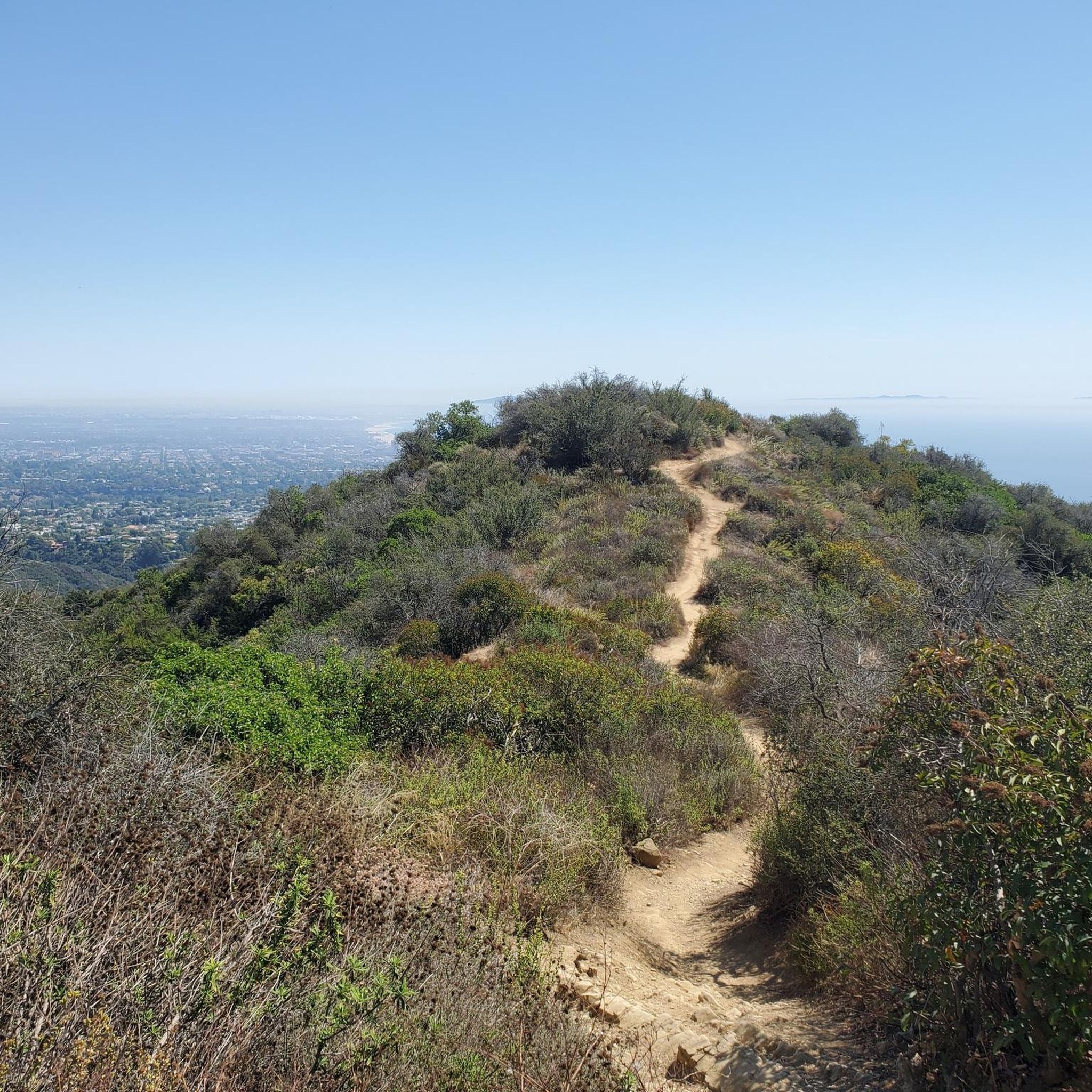
Embark on the Saddle Peak Loop, a difficult racebike route that challenges you with 4334 feet (1321 metres) of elevation gain over 37.2 miles (59.8 km). This ride, typically completed in 3 hours and 25 minutes, offers expansive views across the Santa Monica Mountains, the Pacific Ocean, and the urban sprawl of Malibu and Los Angeles. As you climb, look for the Viewpoint at Backbone Trail, which on clear days provides glimpses of the LA Basin and distant islands, all set against a backdrop of rocky peaks and diverse chaparral.
When planning your visit, be prepared for a demanding ride on mostly well-paved surfaces. While the area is generally accessible, it is always wise to check local conditions before you head out, especially considering the route's difficulty. This ensures you are ready for the physical exertion required to tackle the significant climbs and descents.
The Saddle Peak Loop is situated within the Santa Monica Mountains National Recreation Area, making it a prime way to experience this protected landscape. The route also forms part of the larger Backbone Trail system, offering a unique perspective on the MRCA Open Space and its impressive geological formations and natural beauty.
122
riders
95.7km
04:51
1,270m
1,270m
Hard road ride. Very good fitness required. Mostly well-paved surfaces and easy to ride.

97
riders
95.6km
05:06
1,550m
1,550m
Hard road ride. Very good fitness required. Mostly well-paved surfaces and easy to ride.
96
riders
102km
05:45
1,950m
1,950m
Hard road ride. Very good fitness required. Mostly well-paved surfaces and easy to ride.
68
riders
70.0km
03:38
1,010m
1,010m
Hard road ride. Very good fitness required. Mostly well-paved surfaces and easy to ride.
Get access to more routes and recommendations from other explorers.
Already have an account?
Our route recommendations are based on thousands of hikes, rides, and runs completed by other people on komoot.
Start today with a free account
Your next adventure awaits.
Tips from the Community

Malibu Road departs from the Pacific Coast Highway and travels down closer to the water. This is a great way for cyclists to avoid the busy highway while also being able to admire the view with less traffic to worry about.
0
0

Will Rogers State Beach stretches 1.75 miles along the shoreline and offers activities like swimming and diving. Visitors can enjoy public volleyball courts, playgrounds, gymnastic equipment, and the bike path. Will Rogers is a popular filming location for movies and TV shows, this beach is operated by Los Angeles County. Note that the California State Parks Annual Day Use Pass is not accepted here.
1
0

Escondido Beach in California entices cyclists with its secluded cove and pristine shoreline. Tucked away from the bustle, it offers a serene spot for riders to unwind, bask in the sun, and take a refreshing dip in the Pacific Ocean. The stunning coastal scenery provides a picturesque backdrop for a peaceful break.
0
0
Nestled at the foot of the expansive Topanga State Park in the Santa Monica Mountains, Topanga Beach stands as the nearest Malibu shoreline to Los Angeles, situated at the eastern edge adjacent to the Pacific Palisades neighborhood. Taking a leisurely roll down the ramp to the beach offers a refreshing respite worth indulging in.
0
0

Topanga is a charming mountain community nestled in the Santa Monica Mountains of Los Angeles County, California. Known for its bohemian atmosphere and artistic vibe, Topanga offers a unique blend of nature and culture. Explore the quaint shops and galleries along Topanga Canyon Boulevard, or venture into Topanga State Park for outdoor adventures.
0
0

It is our tradition to visit a high mountain on the first day of the new year. The sattle peak view point is 720 m above sea level and provides an outstanding view to the pacific ocean and to the valley. It is great for a short holiday walk.
0
0

This wide, sandy beach is the perfect spot for a refreshing break while on a bike ride.
1
0
Encinal Canyon Road has great views of the coast and the ocean.
0
0
Frequently Asked Questions
How many road cycling routes are available in the Topanga State Park area?
The Topanga State Park region offers a wide selection of road cycling routes, with over 200 different tours available. These routes traverse diverse landscapes within the Santa Monica Mountains, providing options for various skill levels.
What is the typical terrain and difficulty for road cycling in the Topanga State Park area?
Road cycling in the Topanga State Park area is characterized by challenging climbs, significant elevation gains, and panoramic views. While many routes feature well-paved surfaces, some segments might be unpaved or particularly demanding. Out of 205 routes, 58 are considered easy, 105 moderate, and 42 difficult, catering to a range of fitness levels.
Are there any beginner-friendly road cycling routes in the Topanga State Park region?
Yes, there are options for less experienced road cyclists. The area features 58 routes classified as easy, which typically involve less strenuous climbs and shorter distances. These routes allow riders to enjoy the scenic beauty without overly challenging terrain.
What scenic viewpoints can I expect to see along road cycling routes?
Many road cycling routes offer breathtaking vistas. You can expect panoramic views of the Pacific Ocean, the Santa Monica Mountains, and the San Fernando Valley. Notable viewpoints include Parker Mesa Overlook, which provides expansive views of Santa Monica Bay, and The Hub, a significant trail junction offering exceptional panoramic views over the Santa Monica Mountains.
Are there any unique natural features to explore while road cycling?
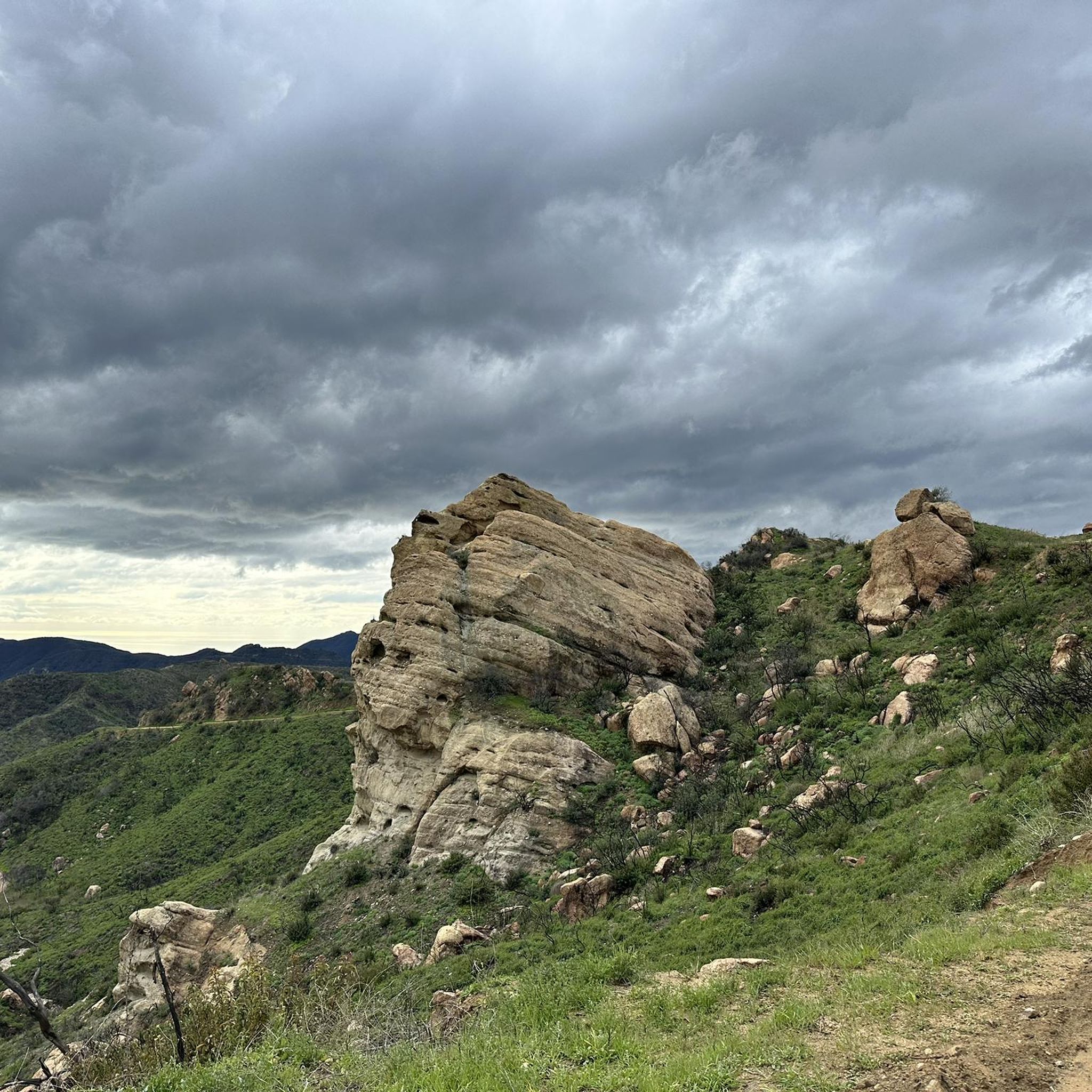
Beyond the stunning views, the region is rich in natural features. You might encounter unique geological formations like Eagle Rock, a prominent sandstone outcrop, or Skull Rock. The diverse ecosystems include open grasslands, live oak woodlands, and chaparral-covered mountains, with vibrant wildflowers in spring. Some routes may also pass near features like Temescal Canyon Falls.
When is the best time of year to go road cycling in Topanga State Park?
The Topanga State Park area is suitable for road cycling year-round due to its mild climate. Spring is particularly beautiful, with vibrant wildflowers blooming across the diverse ecosystems. Fall offers pleasant temperatures and clear skies. Summers can be warm, especially in inland areas, while winters are generally mild, though occasional rain may occur.
Is parking available for road cyclists near Topanga State Park?
Yes, the Topanga State Park area has numerous trail entrances and access points, many of which offer parking facilities. It's advisable to check specific route starting points for detailed parking information, as availability can vary.
What do other road cyclists enjoy the most about road cycling in the Topanga State Park area?
The area is highly rated by the komoot community, with an average score of 4.5 stars from nearly 90 reviews. Cyclists often praise the challenging climbs, the rewarding panoramic views of the Pacific Ocean and mountains, and the diverse natural beauty of the chaparral and oak woodlands. The sense of an urban escape within a major city is also frequently highlighted.
Are there any long-distance road cycling routes for advanced riders?
For advanced riders seeking longer distances and significant elevation, the region offers several challenging options. The Mulholland Highway Double Loop, for instance, covers over 100 km with nearly 2,000 meters of elevation gain, providing a demanding experience for very good fitness levels.
Can I find loop routes for road cycling in the Topanga State Park area?
Yes, many of the road cycling routes in the Topanga State Park area are designed as loops, allowing you to start and finish at the same point. Examples include the Saddle Peak Loop and the Piuma Road Loop, which offer varied terrain and scenic views.
What kind of wildlife might I encounter while road cycling?
Topanga State Park is a sanctuary for diverse wildlife. While road cycling, you might spot mule deer, coyotes, and various bird species such as the California gnatcatcher, red-tailed hawk, and western tanager. The varied ecosystems support a rich array of flora and fauna, making it a great spot for nature observation.
Are there any road cycling routes that offer ocean views?
Absolutely. Many routes in the Topanga State Park area, particularly those traversing the Santa Monica Mountains, provide stunning panoramic views of the Pacific Ocean. The elevation gains on these routes often lead to spectacular coastal vistas, especially from higher vantage points like the Parker Mesa Overlook.
Most popular routes in Topanga State Park
Most popular attractions in Topanga State Park

Get inspired with the komoot mobile app


Explore more
Browse the best Road cycling routes in other regions.
