The best walks and hikes in Topanga State Park
4.6
(268)
7,929
hikers
27
hikes
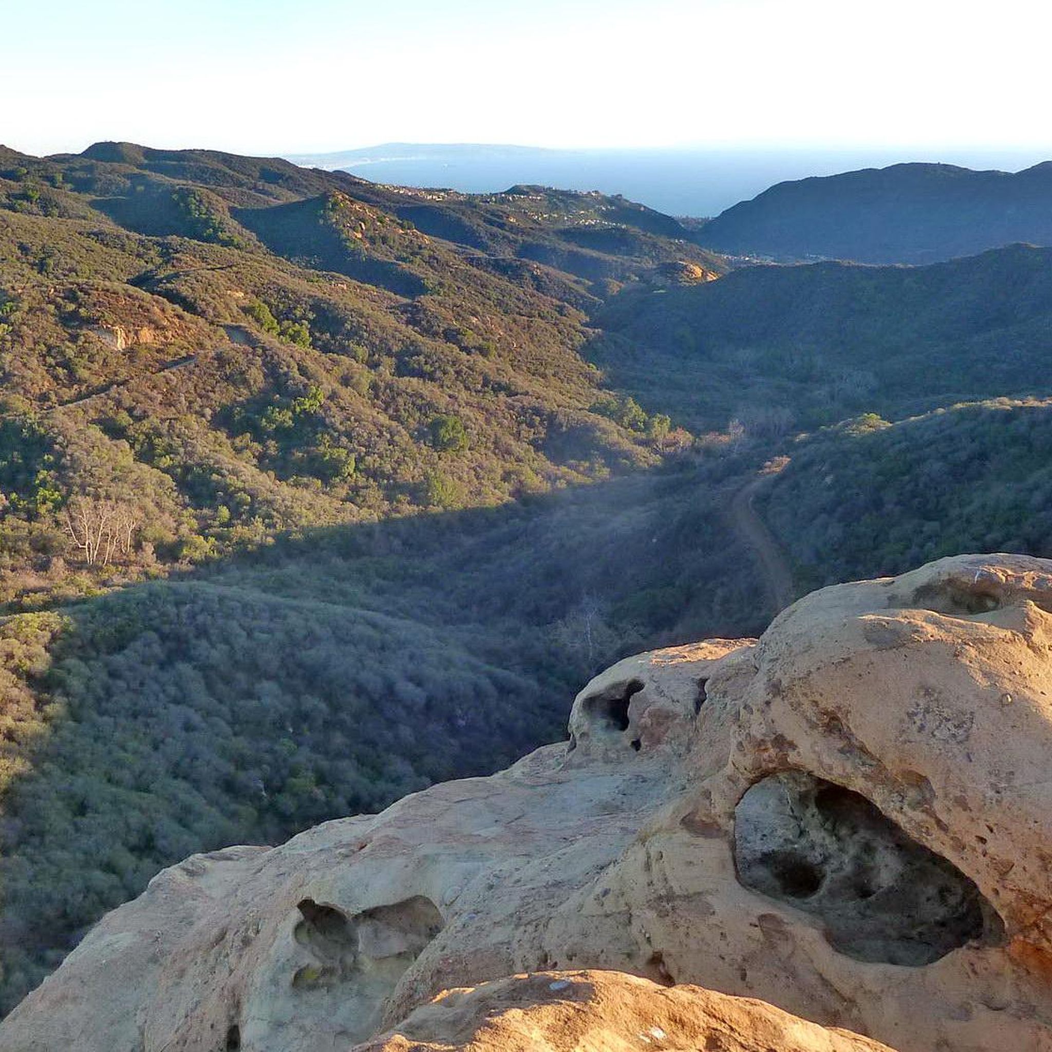
Hikes in Topanga State Park explore a wildland area located entirely within Los Angeles city limits in the Santa Monica Mountains. The park's terrain is characterized by a mix of open grasslands, chaparral-covered ridges, and shaded oak groves. The trail network follows canyons and fire roads, leading to viewpoints with expansive coastal and inland vistas.
Best hiking trails in Topanga State Park
- The most popular hiking route is Eagle Rock loop — Topanga State Park, a 6.7 mile (10.8 km) trail that takes about 3 hours 10 minutes to complete. The route leads to a large sandstone formation with views across the park.
- Another top favourite among local hiking enthusiasts is Parker Mesa via Los Liones Trail — Santa Monica Mountains National Recreation Area, a moderate 7.5 mile (12.0 km) path. This is one of the Topanga State Park hiking trails with ocean views, ending at an overlook above the Pacific.
- Local hiking enthusiasts also love the Eagle Rock via East Topanga Fire Road — Santa Monica Mountains National Recreation Area, a 4.0 mile (6.5 km) trail leading through chaparral and grassland, often completed in about 1 hour 55 minutes.
- Hiking in Topanga State Park is defined by chaparral-covered hills, oak woodlands, and coastal overlooks. The trail system provides routes for a range of fitness levels, from easy walks to more difficult climbs.
- The routes in Topanga State Park are highly rated by the komoot community with an average score of 4.7 stars from over 140 reviews. More than 5,600 hikers have used komoot to explore Topanga State Park's varied terrain.
Last updated: September 28, 2026
23
hikers
2.43km
00:41
0m
140m
Easy hike. Great for any fitness level. Easily-accessible paths. Suitable for all skill levels.
5.0
(1)
13
hikers
9.68km
02:59
470m
150m
Moderate hike. Good fitness required. Easily-accessible paths. Suitable for all skill levels.

10
hikers
4.29km
01:24
290m
20m
Easy hike. Great for any fitness level. Easily-accessible paths. Suitable for all skill levels.
5
hikers
3.42km
01:04
210m
20m
Easy hike. Great for any fitness level. Easily-accessible paths. Suitable for all skill levels.
5.0
(1)
2
hikers
15.9km
04:35
220m
690m
Moderate hike. Good fitness required. Easily-accessible paths. Suitable for all skill levels.
Get access to more routes and recommendations from other explorers.
Already have an account?
Our route recommendations are based on thousands of hikes, rides, and runs completed by other people on komoot.
Start today with a free account
Your next adventure awaits.
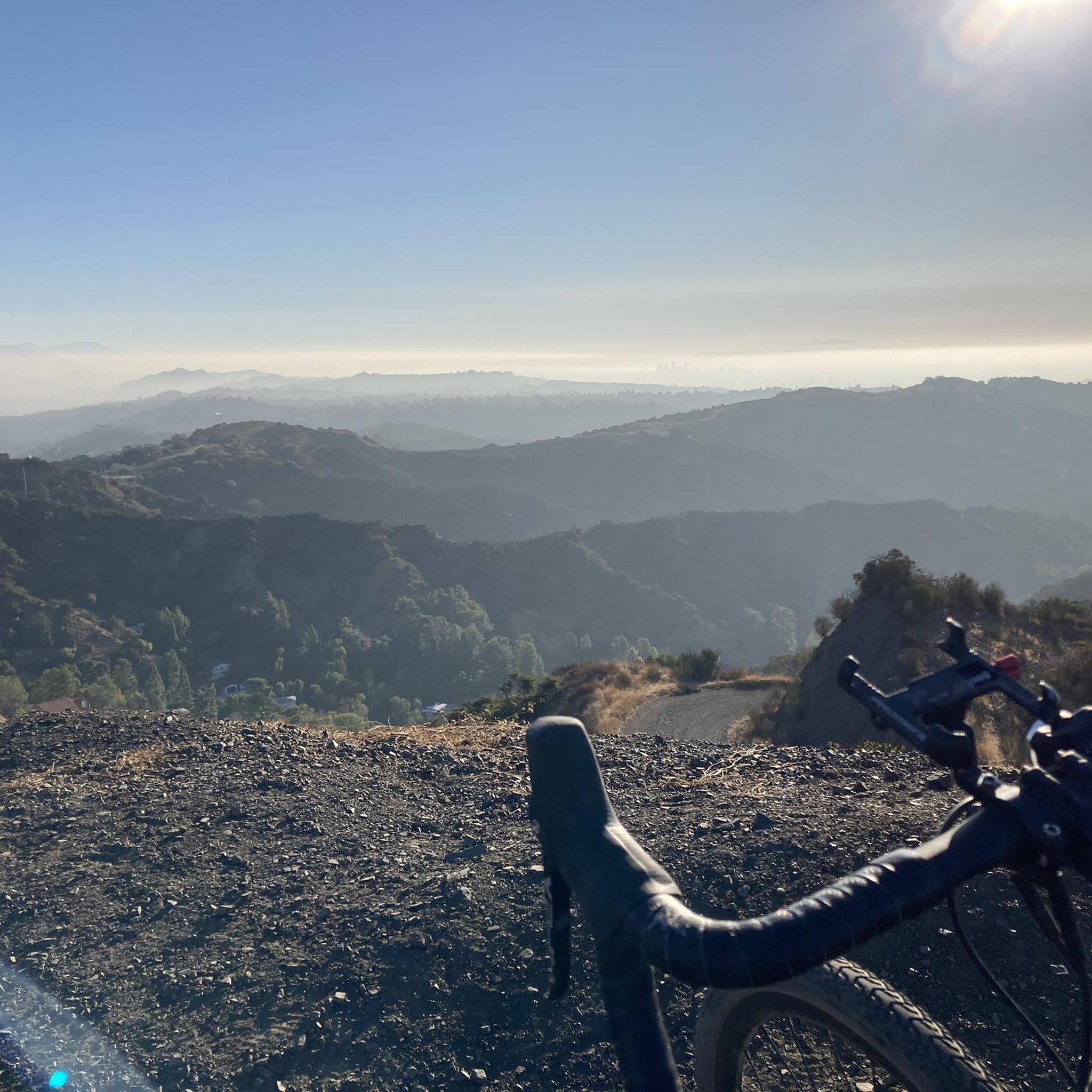
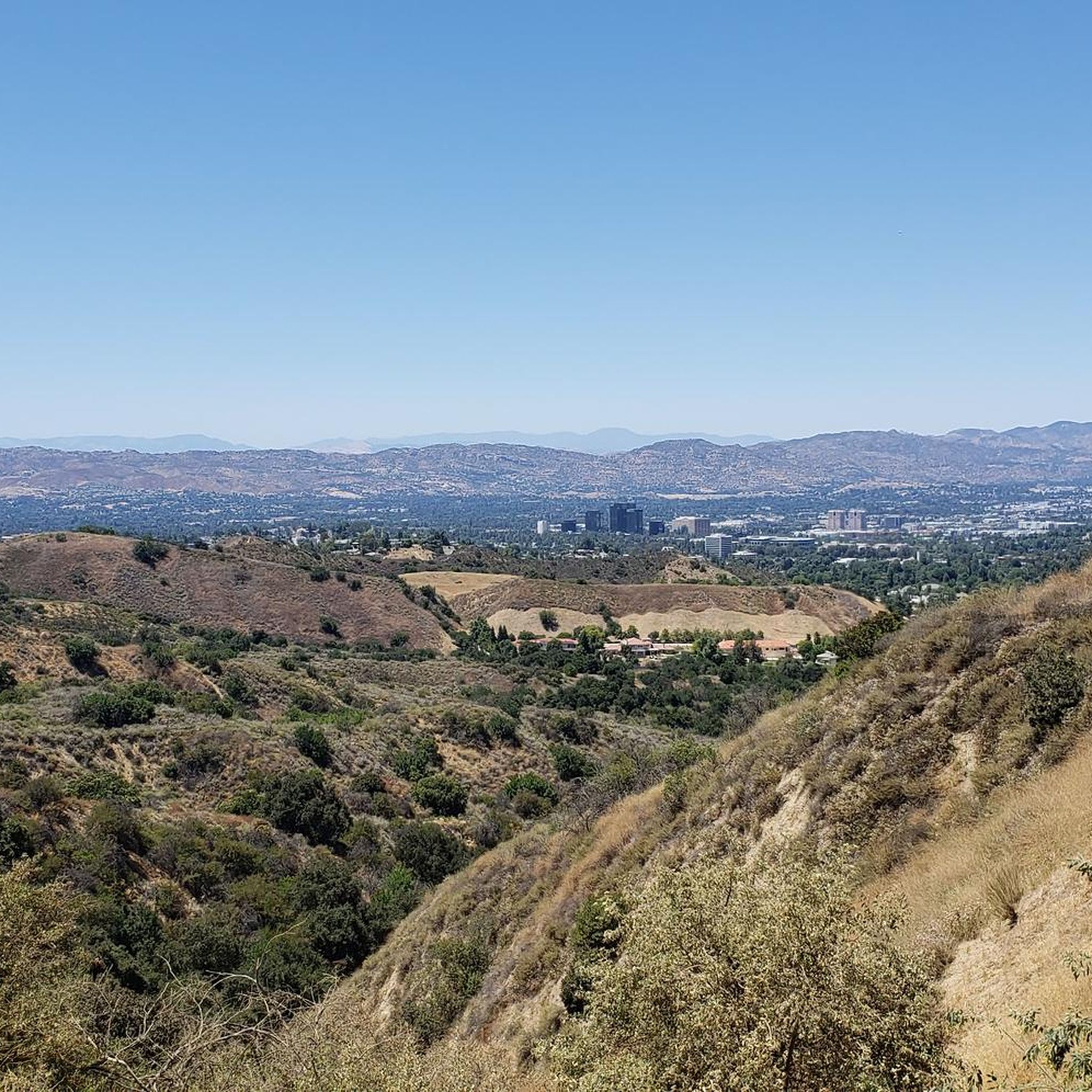
Tips from the Community

From Eagel Rock to Parker Mesa is very sandy at the moment
0
0

Topanga State Park has a lot of great trails, mostly for hikers; you have plenty of mountain bike options too, but only on the fire roads. No dogs allowed — sorry!
0
0

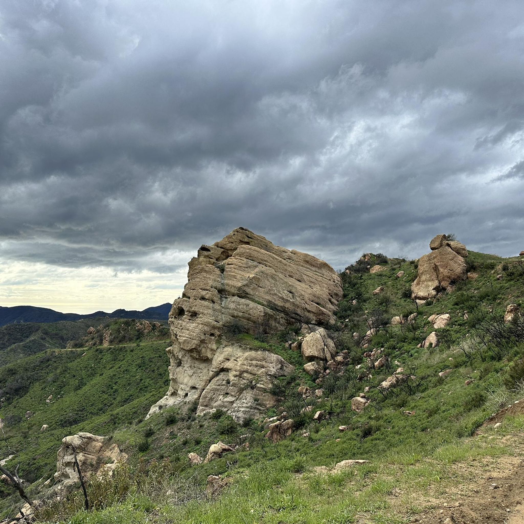
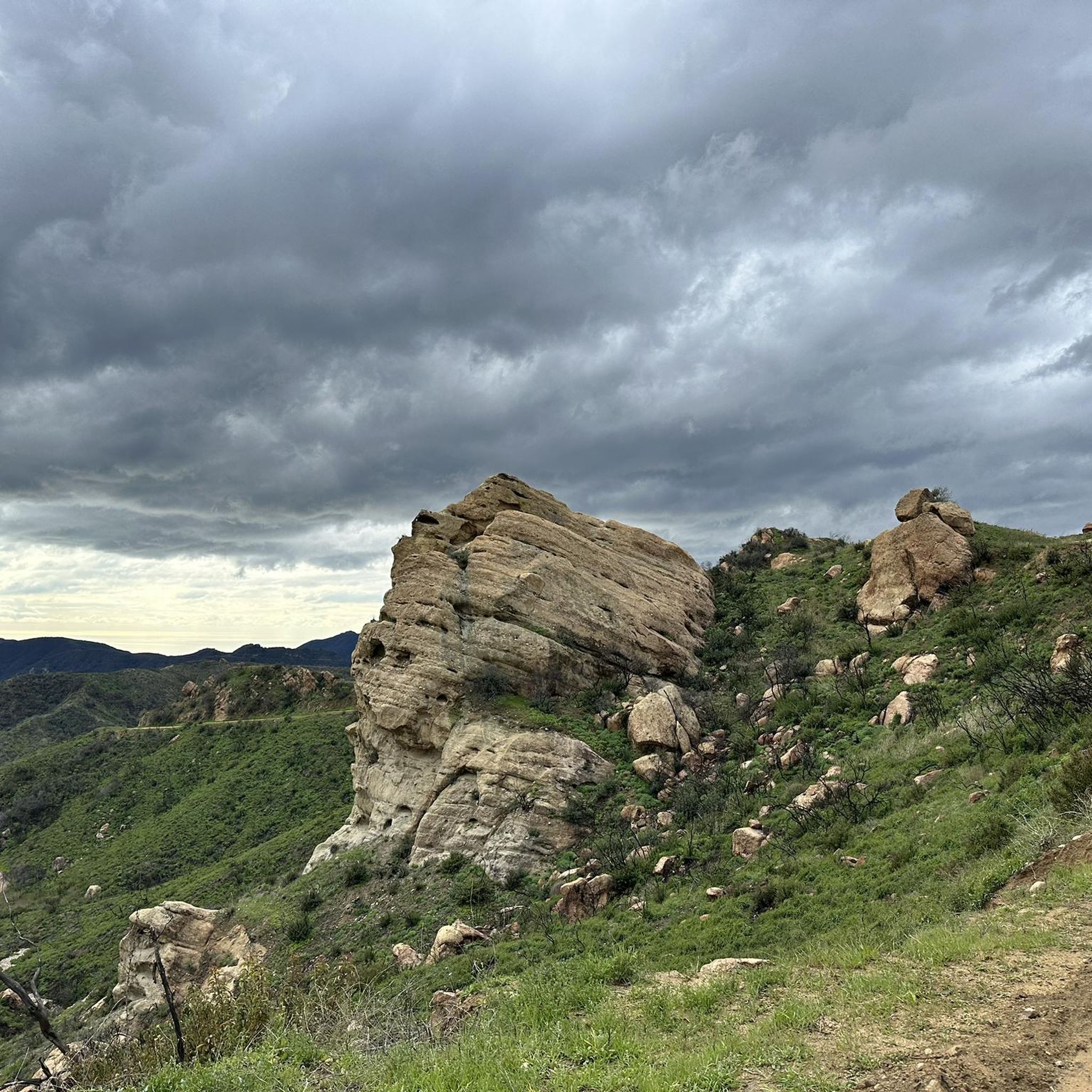
Eponymously shaped giant rock. The 💀 skull resemblace is best visible from the Temescal Ridge Trail, even more clearly a few hundred yards away. A fixed rope helps to climb onto the vertical rock. A slightly taller adjecent rock needle provides even better views
2
0
Presbyterian Conference Grounds 1922 North Temescal Canyon Road at Sunset Boulevard. This site once belonged to the Methodists and was the site of the yearly Chautauqua meetings and performances, which were a part of the cultural ‘Uplift Movement” for the common man at the turn of the century. The site includes many historic structures, including the Temescal Camp Store, Woodland Hall, Stewart Hall, several original wood cabins, several later stucco cabins, and a number of residential buildings. Additional features of the park include stone steps and retaining walls, picnic areas, restroom buildings, surface parking lots, hiking trails, and mature natural landscaping. Significant as the site of the original Chautauqua Conference Grounds, established by Methodist minister Rev. Dr. Charles Holmes Scott, founder of Pacific Palisades. The site was established as a West Coast center for the Chautauqua Movement. The Chautauqua Movement originated on the East Coast near Chautauqua Lake in New York State, and was a means for people living in rural or isolated areas to have access to art, music, culture, history, and current events. The structures developed by Rev. Dr. Scott were built in 1922. In 1943, the land was purchased by the Presbyterian Synod and used as a private retreat location. In 1994, the land was acquired by the Santa Monica Mountains Conservancy for use as a public park. Today, the site is operated by the Los Angeles Department of Recreation and Parks as Temescal Gateway Park and Temescal Canyon Conference & Retreat Center. Many historic structures remain in use today. SurveyLA – La Historic Resource Survey. https://www.pacificpalisadeshistory.org/presbyterian-conference-grounds
1
0
Sweeping panoramic overlook across Pacific Palisades, West LA, Santa Monica, and the Pacific Ocean bay at the junction of Paseo Miramar and Los Leones Trail
0
0

From here there is a perfect 360 degree view. Santa Monica mountains are completely visible in good weather
0
1

Cyclists will discover the Visitor Center at Topanga State Park, offering exhibits on nature, science, and history. Alongside restrooms, it provides valuable information for exploring the park's trails and natural wonders.
0
0

The Parker Mesa Overlook is located in Topanga State Park and provides a breathtaking view of Santa Monica Bay and the Pacific Ocean. From this high vantage point, you can take in the beautiful coastline spanning from Palos Verdes to Malibu, with nothing but blue ocean in between. This is an ideal spot to watch the sunset and enjoy an expansive view of the coast and the LA basin.
0
0
Frequently Asked Questions
Are dogs allowed on the trails in Topanga State Park?
No, dogs are not permitted on the hiking trails within Topanga State Park. They are allowed only in the picnic areas and on the paved roads. This rule is in place to protect the park's wildlife and natural habitat.
What are the parking options for hiking in Topanga State Park?
The main parking area is at the Trippet Ranch entrance, located at 20828 Entrada Rd. This is a paid parking lot and serves as the primary trailhead for many popular routes. Arrive early, especially on weekends, as it can fill up quickly. Limited free parking may be available along the road outside the park entrance, but be sure to check for any posted restrictions.
Are there any easy, family-friendly hikes in the park?
Yes, the park offers several easier options suitable for families. A great choice is the Eagle Rock via East Topanga Fire Road trail. It's a relatively gentle 4-mile (6.5 km) walk on a wide fire road, making it manageable for hikers of various ages and abilities.
Can I see waterfalls in Topanga State Park?
Yes, but they are seasonal. The hike to Santa Ynez Falls is a popular option, especially after winter and spring rains when the waterfall is flowing. During dry summer and fall months, the waterfall may be reduced to a trickle or completely dry, so it's best to time your visit accordingly.
Which trail offers the best ocean views?
For stunning coastal vistas, the hike to Parker Mesa Overlook is unparalleled. The Parker Mesa loop is a rewarding 5-mile (8 km) journey that culminates in panoramic views of the Pacific Ocean and the coastline.
What kind of wildlife might I see while hiking?
Topanga State Park is a sanctuary for a variety of wildlife. It's common to see deer, coyotes, and numerous bird species. The park is also home to more elusive animals like bobcats and foxes. Keep an eye out for reptiles such as lizards and snakes, especially on sunny days. Always observe wildlife from a safe and respectful distance.
How many hiking trails are in Topanga State Park?
The park features an extensive network of over 36 miles of trails. Komoot highlights more than 15 distinct hiking routes, ranging from easy nature walks to challenging climbs, ensuring there's a trail for every fitness level.
Is there a challenging hike for experienced hikers?
For those seeking a strenuous workout with significant elevation gain, the Topanga State Park Loop is an excellent choice. This difficult 16.4-mile (26.4 km) route covers a large portion of the park and involves nearly 2,900 feet (873 m) of climbing, offering a true test of endurance.
What do other hikers say about the trails in Topanga State Park?
The trails are highly regarded by the komoot community, with an average rating of 4.7 out of 5 stars. Hikers frequently praise the well-maintained paths, the incredible panoramic views of the ocean and canyons, and the feeling of being in a remote wilderness so close to the city.
What are some of the unique geological features in the park?
The park is known for its fascinating sandstone formations. Two of the most notable are Eagle Rock, a massive outcrop with wind-carved caves, and Skull Rock. The landscape also reveals evidence of earthquake faults and marine fossils, offering a glimpse into the region's geological history.
How does Topanga State Park connect to the Backbone Trail?
A significant segment of the 67-mile Backbone Trail runs directly through Topanga State Park. This allows hikers to experience a portion of the famous long-distance trail that traverses the Santa Monica Mountains, connecting from Will Rogers State Historic Park to Point Mugu State Park.
Is it possible to go camping in the park?
Yes, there is one hike-in campground available, Musch Trail Camp. It is a primitive campground with no vehicle access, located about one mile from the Trippet Ranch parking lot. You must carry in all of your gear and supplies. For more information on availability and regulations, check the official California State Parks website.
Most popular routes in Topanga State Park
Most popular attractions in Topanga State Park

Get inspired with the komoot mobile app


Explore more
Browse the best Hikes in other regions.
