The best cycling routes in Verdugo Mountains Open Space Preserve
4.5
(106)
1,543
riders
73
rides
Touring cycling in Verdugo Mountains Open Space Preserve is characterized by a rugged mountain range featuring a diverse network of trails. The preserve encompasses 244 acres of dense vegetation, including mature coast live oaks, sycamores, and bay laurels, sustained by numerous springs and blueline streams. The terrain includes wide fire roads and unpaved segments, offering varied elevation profiles. From higher points, panoramic views of the La Crescenta Valley, San Fernando Valley, and San Gabriel Mountains are accessible.
Best touring cycling routes in Verdugo Mountains Open Space Preserve
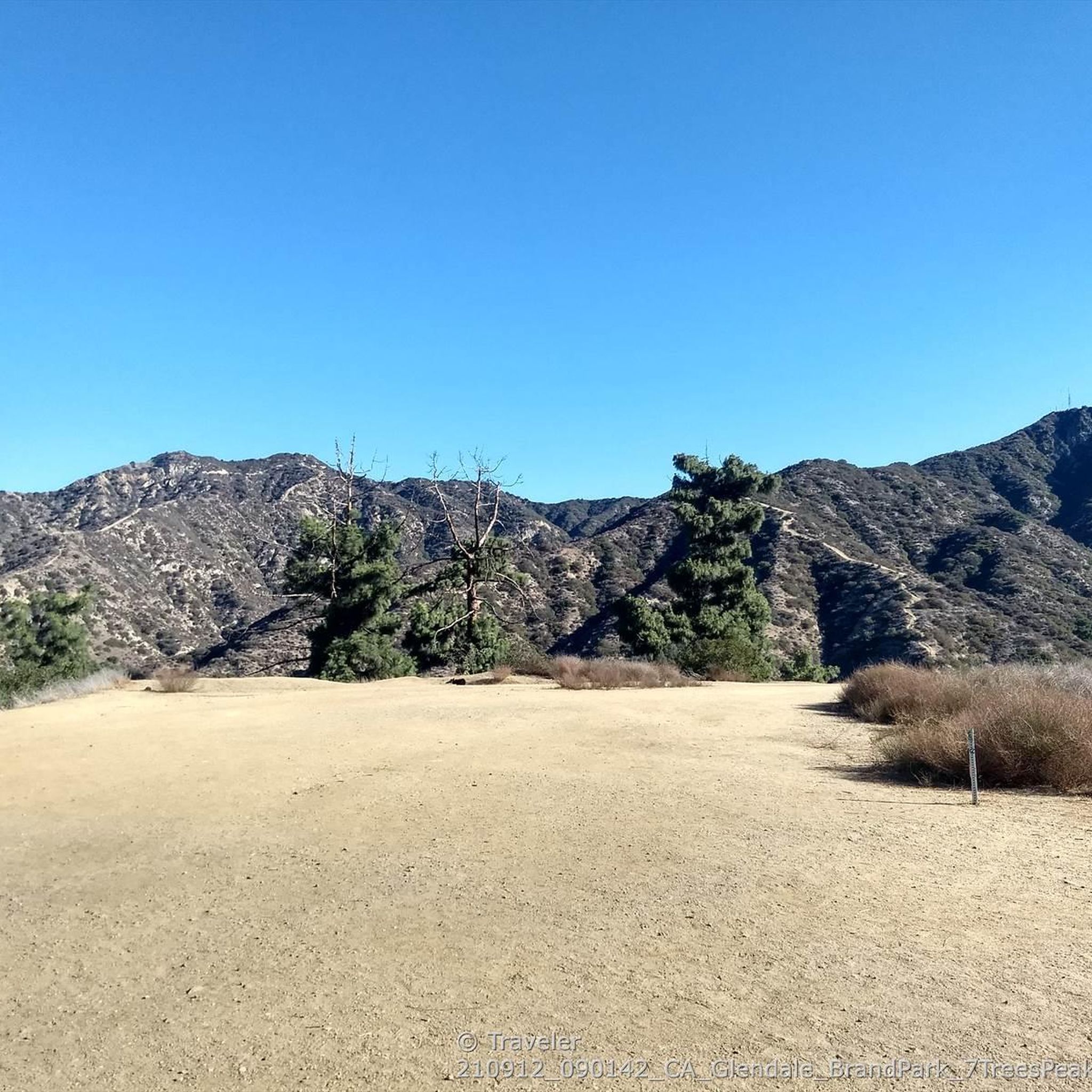
- The most popular touring cycling route is Brand Park – Beaudry North Trail loop from San Rafael Hills Open Space, a 5.9 miles (9.5 km) trail that takes 1 hour 11 minutes to complete. This route offers a moderate challenge through varied mountain terrain.
- Another top favourite among local touring cyclists is Devil's Gate Dam – Devil's Gate Dam loop from La Crescenta, a moderate 14.5 miles (23.3 km) path. This loop provides views of the surrounding landscape and the dam structure.
- Local touring cyclists also love the Overlook on Cerro Negro loop from Montrose, a 10.1 miles (16.3 km) trail leading through the Verdugo Mountains, often completed in about 1 hour 19 minutes.
- Touring cycling in Verdugo Mountains Open Space Preserve is defined by dense oak woodlands, rugged mountain ascents, and panoramic viewpoints. The network offers options for both casual riders on mostly paved sections and experienced cyclists seeking challenging unpaved segments.
- The routes in Verdugo Mountains Open Space Preserve are highly rated by the komoot community with an average score of 4.6 stars from over 60 reviews. More than 1,500 touring cyclists have used komoot to explore Verdugo Mountains Open Space Preserve's varied terrain.
Last updated: July 2, 2026
9
riders
9.50km
01:11
440m
440m
Moderate bike ride. Good fitness required. Mostly paved surfaces. Suitable for all skill levels.
3
riders
23.3km
01:41
380m
380m
Moderate bike ride. Good fitness required. Mostly paved surfaces. Suitable for all skill levels.

Sign up for free
4
riders
16.2km
01:20
350m
350m
Moderate bike ride. Good fitness required. Mostly paved surfaces. Suitable for all skill levels.
9
riders
Moderate bike ride. Good fitness required. Mostly paved surfaces. Suitable for all skill levels.
24
riders
Hard bike ride. Very good fitness required. Mostly paved surfaces. Suitable for all skill levels.
Get access to more routes and recommendations from other explorers.
Sign up for free
Already have an account?
Our route recommendations are based on thousands of hikes, rides, and runs completed by other people on komoot.
Start today with a free account
Your next adventure awaits.
Login or Signup
Popular around Verdugo Mountains Open Space Preserve

Tips from the Community

Cherry Canyon Park is an area of 130 acres in the San Rafael Hills, close to La Cañada Flintridge. It features multiple trails and fire roads for horses, mountain bikers and hikers, but also various single tracks that are only for hiking. From the trails, you will get a great overview over the area.
0
0

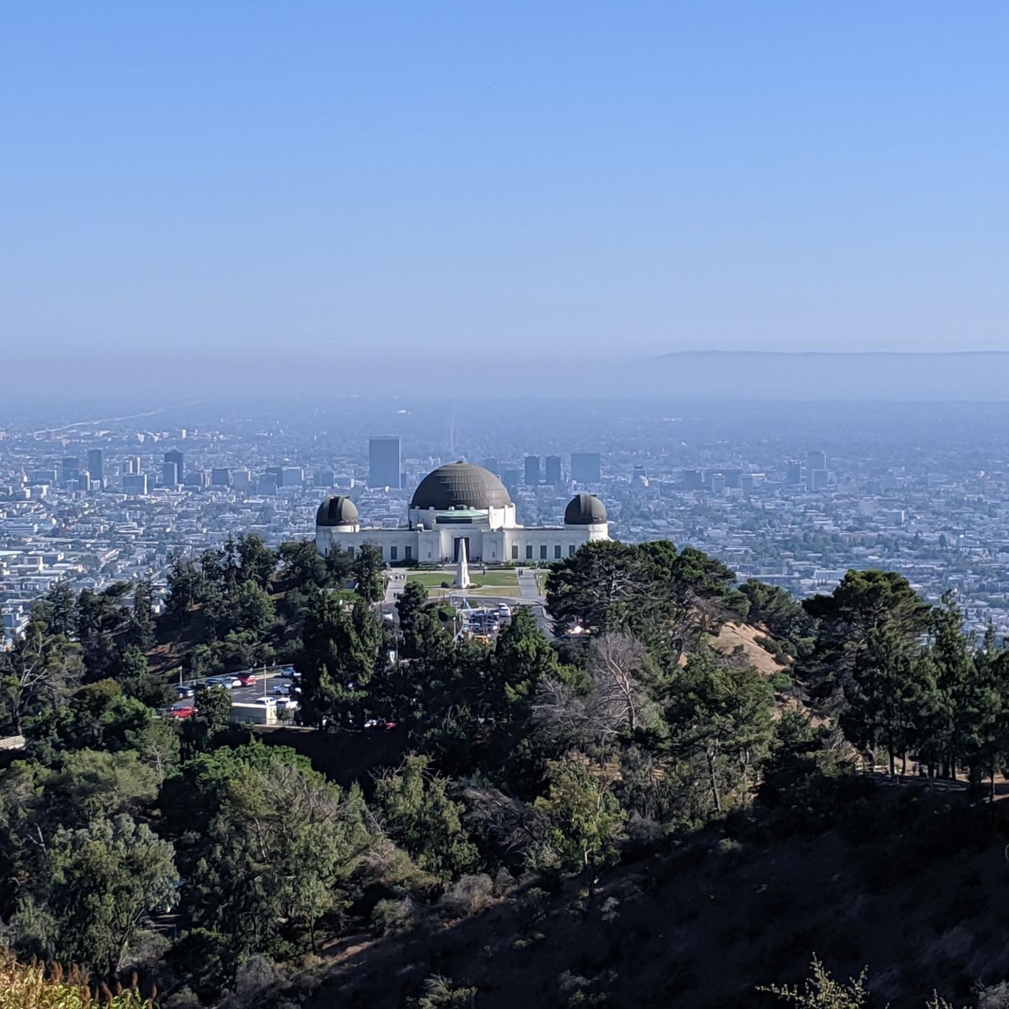
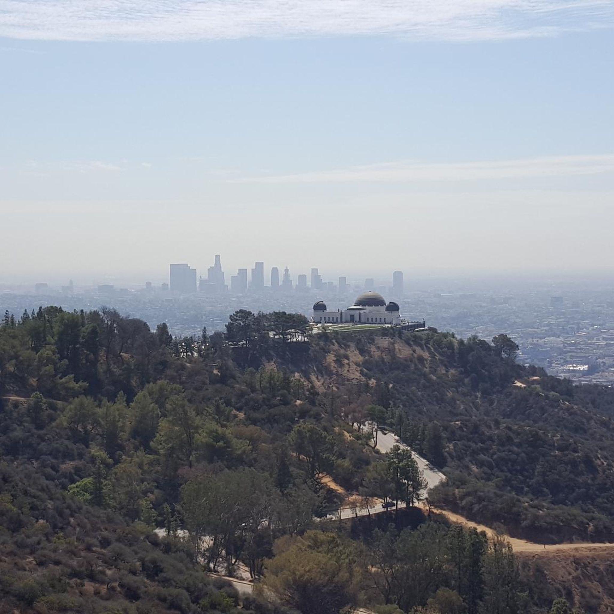
Great view of Downtown LA. The climb up into the hills to reach the viewpoint is challenging, but it is worth the effort for the excellent vistas.
0
0

Built in 1920, Devil's Gate Dam is the oldest dam constructed by the Los Angeles County Flood Control District, designed to protect Pasadena, South Pasadena, and Los Angeles from floods. The dam was named after a rock formation resembling a devil’s face and gained popularity in the 1940s when occultists performed rituals there. Today, Devil's Gate Dam attracts hikers, paranormal investigators, and TV crews checking out its haunted reputation.
0
0
La Tuna Canyon Road is a fairly quiet road that winds through the green hills behind Burbank. There are some ups and downs, but you will be treated to some nice views as you get higher.
0
0

You can approach this 3,124-foot peak from several directions, but the multi-use Verdugo Motorway is the most common uphill option.
0
0

MRCA Open Space is managed by the Mountains Recreation and Conservation Authority, which oversees 75,000 acres of public parkland and open space owned by the Santa Monica Mountains Conservancy, this space offers great views and shaded trails for a refreshing and tranquil biking experience.
1
0
LA City Open Space provides a pleasant ride through a lush forest just moments away from the city. The space offers good shade provided by the trees, enhancing the overall biking experience.
0
0
Devil's Gate Dam is an abandoned dam, close to Hahamongna Watershed Park. From the bridge you get an amazing view of the valley and the surrounding area. Below the bridge there are a couple of tunnels that might be the reason why this place is considered a portal to hell, giving the dam its name.
0
0
Frequently Asked Questions
How many touring cycling routes are available in Verdugo Mountains Open Space Preserve?
There are over 60 touring cycling routes available in Verdugo Mountains Open Space Preserve, offering a wide range of experiences from moderate to difficult. This includes 10 easy routes, 29 moderate routes, and 30 difficult routes.
What kind of terrain can I expect on touring cycling routes in the Verdugo Mountains?
The preserve features a diverse network of trails, including wide fire roads (motorways) and unpaved segments. You'll encounter rugged mountain ascents and varied elevation profiles, with some sections requiring good to very good fitness, and occasionally even pushing your bike. The landscape is characterized by dense vegetation, including mature coast live oaks, sycamores, and bay laurels.
Are there any family-friendly touring cycling routes in the Verdugo Mountains Open Space Preserve?
While the preserve offers a variety of routes, many include challenging unpaved segments and significant elevation changes. There are 10 routes categorized as 'easy', which might be more suitable for families or those seeking a less strenuous ride. Always check the route details for specific difficulty and terrain before heading out.
What are the best times of year to go touring cycling in the Verdugo Mountains?
The Verdugo Mountains Open Space Preserve can be enjoyed year-round, but spring and fall generally offer the most pleasant temperatures for cycling. The preserve is home to numerous springs and blueline streams, which contribute to a lush environment, especially after seasonal rains. Summer can be hot, so early morning or late afternoon rides are recommended.
Are there any circular touring cycling routes in the preserve?
Yes, many of the touring cycling routes in Verdugo Mountains Open Space Preserve are loops, allowing you to start and end at the same point. For example, the Devil's Gate Dam – Devil's Gate Dam loop from La Crescenta is a moderate 14.5-mile path, and the Overlook on Cerro Negro loop from Montrose is a 10.1-mile trail through the mountains.
What kind of views can I expect while cycling in the Verdugo Mountains?
From the upper slopes and ridgelines of the Verdugo Mountains, cyclists can enjoy breathtaking panoramic views. These include stunning vistas of the La Crescenta Valley, the expansive San Fernando Valley, and even downtown Los Angeles. You can also see the majestic San Gabriel Mountains in the distance, offering rewarding pauses during your tour.
What do other touring cyclists enjoy most about the Verdugo Mountains Open Space Preserve?
The area is highly rated by the komoot community, with an average score of 4.6 stars from over 60 reviews. Reviewers often praise the dramatic elevation profiles, the sense of wilderness close to the city, and the diverse network of trails that cater to various skill levels, all while offering stunning panoramic views.
Is public transport available to access the Verdugo Mountains Open Space Preserve?
The Verdugo Mountains Open Space Preserve is situated within Los Angeles County, making it accessible from various points. While direct public transport to specific trailheads might be limited, local bus services operate in the surrounding Glendale and La Crescenta areas. It's advisable to check local transit schedules and routes to plan your approach.
Are dogs allowed on the touring cycling trails in Verdugo Mountains Open Space Preserve?
The Verdugo Mountains Open Space Preserve is generally dog-friendly, but specific regulations regarding dogs on trails, especially when cycling, can vary. It's always best to check the official preserve guidelines or signage at trailheads to ensure compliance, and always keep dogs on a leash.
Are there any challenging routes for experienced touring cyclists?
Yes, the preserve offers 30 routes categorized as 'difficult' for experienced touring cyclists seeking a challenge. These routes often feature significant elevation gains and unpaved segments. An example is the Beaudry North Trail loop from San Rafael Hills Open Space, which covers 6.8 miles with substantial climbing.
Where can I find parking for touring cycling routes in the Verdugo Mountains?
Access points to the Verdugo Mountains Open Space Preserve typically have designated parking areas. For routes like the Brand Park – Beaudry North Trail loop from San Rafael Hills Open Space, parking is usually available near the starting points in adjacent neighborhoods or parks. Always check local signage for any parking restrictions or fees.
Are there any cafes or places to eat near the Verdugo Mountains Open Space Preserve?
The Verdugo Mountains Open Space Preserve is located near urban areas like Glendale and La Crescenta. You'll find a variety of cafes, restaurants, and shops in these nearby communities where you can refuel before or after your ride. It's a good idea to bring water and snacks for your tour, as amenities are not typically found within the preserve itself.
Most popular routes in Verdugo Mountains Open Space Preserve

Get inspired with the komoot mobile app


Explore more
Browse the best Cycling routes in other regions.
