Verdugo Mountains Open Space Preserve
Verdugo Mountains Open Space Preserve
The best road cycling routes in Verdugo Mountains Open Space Preserve
4.7
(82)
2,742
riders
34
rides
Road cycling in Verdugo Mountains Open Space Preserve offers diverse landscapes within a 244-acre expanse, part of the larger 4,000-acre Verdugo Mountains range. The preserve features a lush, vegetated north-facing flank with mature trees, springs, and blueline streams, contributing to varied habitats. Cyclists encounter mostly well-paved surfaces, though some segments may be unpaved and more challenging. Routes provide views of the La Crescenta Valley from prominent ridgelines, with sustained climbs and ridgeline paths.
Best road cycling routes in Verdugo Mountains Open Space Preserve
- The most popular road cycling route is Roadbike loop from Descanso Gardens, an 11.1 miles (17.9 km) trail that takes 56 minutes to complete. This moderate route offers scenic paths through the preserve's diverse terrain.
- Another top favourite among local road cyclists is Brookside Park – Brookside Park loop from La Cañada Flintridge, a moderate 21.8 miles (35.0 km) path. This route winds through the mountainous region, providing access to varied habitats.
- Local road cyclists also love the Patrician Way Switchbacks – Brookside Park loop from Anderson W Clark Magnet High School, a 35.8 miles (57.6 km) trail leading through diverse habitats and offering views of the La Crescenta Valley, often completed in about 2 hours 55 minutes.
- Road cycling in Verdugo Mountains Open Space Preserve is defined by lush, vegetated flanks, prominent ridgelines, and diverse habitats. The network offers options available for various fitness levels.
- The routes in Verdugo Mountains Open Space Preserve are highly rated by the komoot community with an average score of 4.7 stars from over 120 reviews. More than 2,800 road cyclists have used komoot to explore Verdugo Mountains Open Space Preserve's varied terrain.
Last updated: May 25, 2026
4.9
(11)
231
riders
36.3km
01:57
530m
530m
Moderate road ride. Good fitness required. Mostly well-paved surfaces and easy to ride.
16
riders
Moderate road ride. Good fitness required. Mostly well-paved surfaces and easy to ride.

Sign up for free
14
riders
30.9km
01:29
360m
360m
Moderate road ride. Good fitness required. Mostly well-paved surfaces and easy to ride.
7
riders
35.4km
01:51
450m
450m
Moderate road ride. Good fitness required. Some segments of this route may be unpaved and difficult to ride.
5
riders
88.1km
05:07
2,050m
2,050m
Hard road ride. Very good fitness required. Some segments of this route may be unpaved and difficult to ride.
Get access to more routes and recommendations from other explorers.
Sign up for free
Already have an account?
Our route recommendations are based on thousands of hikes, rides, and runs completed by other people on komoot.
Start today with a free account
Your next adventure awaits.
Login or Signup
Popular around Verdugo Mountains Open Space Preserve

Tips from the Community


The road south creates a nice, fast, gradual descent from the north side of Altadena. Just be safe and keep an eye out for cross-traffic at the intersections.
0
0

Climb out of the Brookside Golf Club area and into the Pasadena suburban area. This climb has a nice shoulder and is lined with trees.
0
0
Brookside Park is Pasadena's largest fully maintained park at 61.1 acres. It sits south of Rose Bowl Stadium with tons of parking off Arroyo Boulevard. The park features a lighted baseball diamond, two softball diamonds, and a large, lighted, multi-purpose field for soccer and flag football. There is also a speaker's platform with permanent seating, numerous picnic tables, barbecue pits, a play area, restrooms, and drinking fountains.
0
0

Fun lil park Loop :) easy mostly flat , I’m A beginner and I had fun :)
0
0
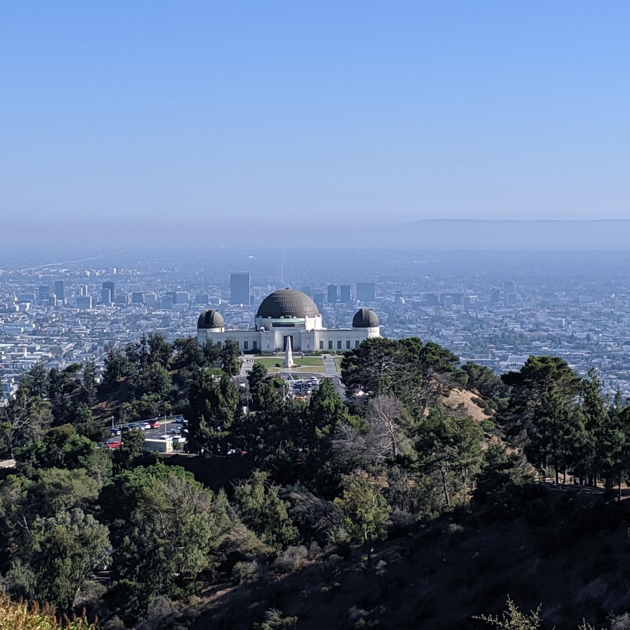
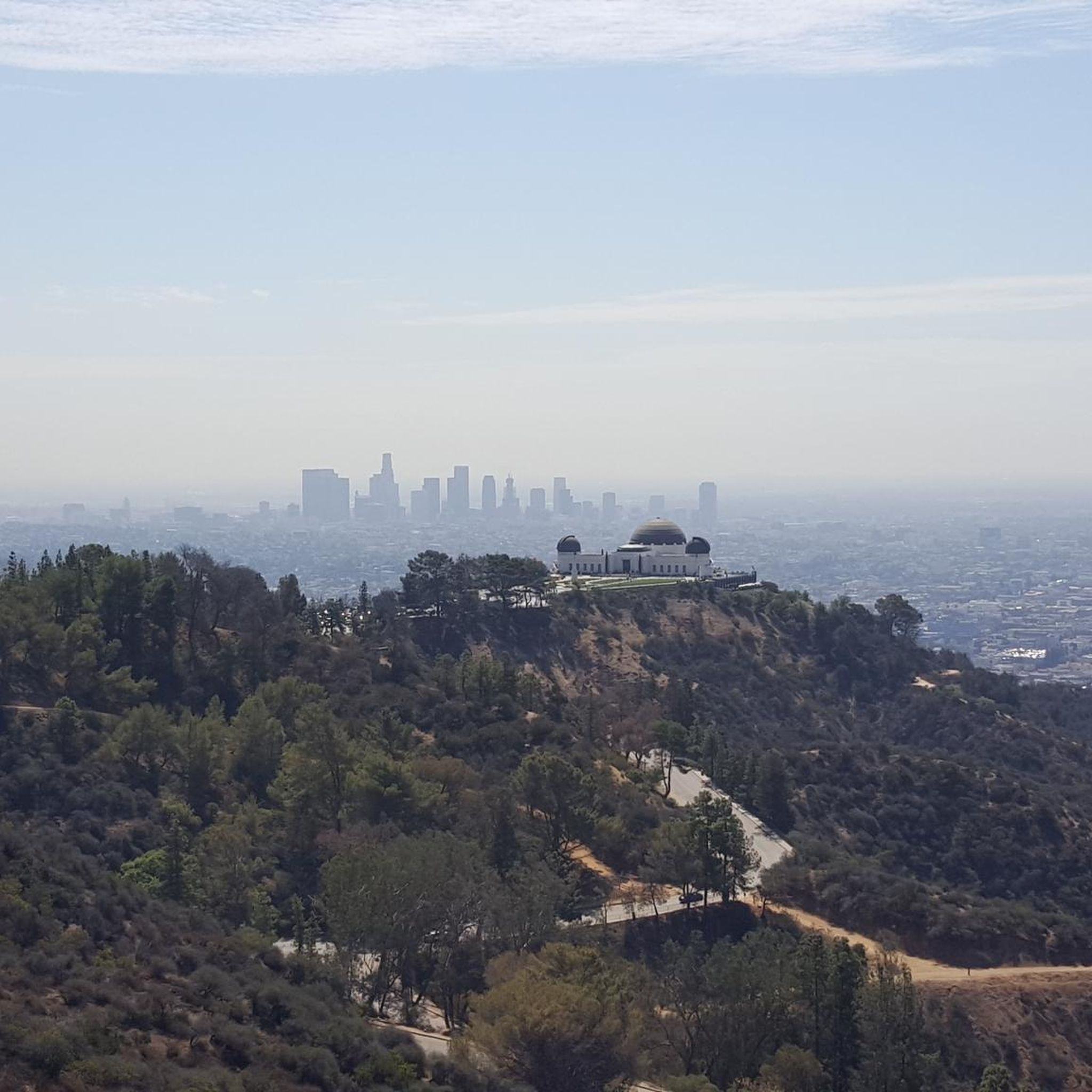
A quick pull-off from the Angeles Crest Highway gives way to Millard Falls Trailhead and LA Overlook, with great views of downtown and the forests in the gateway to Angeles National Forest.
0
0
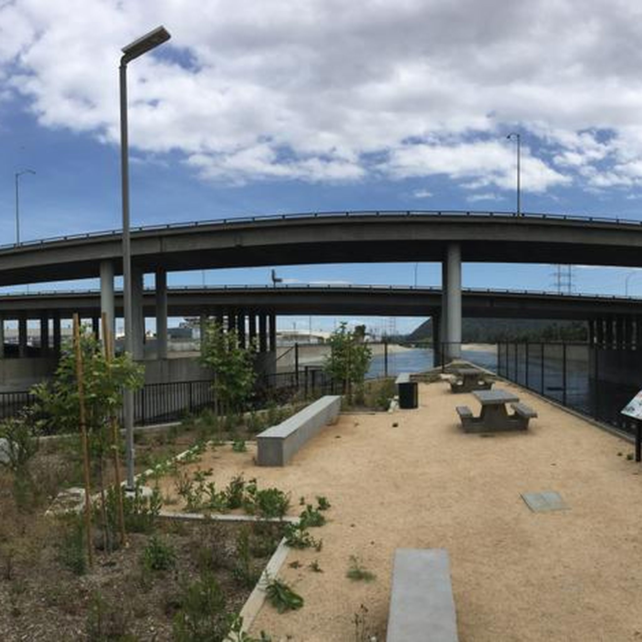
Visit the Big Tujunga Dam Overlook for awesome views of the Big Tujunga River and the concrete arch dam. Built in 1931, the dam features a reservoir about 89 square acres in size. The dam is key for flood protection and water conservation.
1
0
Mill Creek Summit, sitting at 4,910 feet, is the highest point along the Angeles Forest Highway in northern Los Angeles County. In the scenic San Gabriel Mountains, it links Pasadena to Lancaster via the Angeles Crest Highway. This spot is a popular rest area for bikers and Pacific Crest Trail hikers, offering shaded picnic benches, a water spigot near the fire station (treatment recommended), and outlets for charging devices. A nearby parking lot includes a picnic table and restrooms, making it a convenient stop.
0
0
Frequently Asked Questions
What kind of terrain can I expect on road cycling routes in Verdugo Mountains Open Space Preserve?
The preserve offers a mix of terrain. You'll find mostly well-paved surfaces on many routes, making for smooth riding. However, some segments may be unpaved and more challenging, potentially requiring good fitness or even dismounting and pushing your bike.
What are the typical difficulty levels for road cycling routes in the Verdugo Mountains?
Routes in the Verdugo Mountains Open Space Preserve cater to various fitness levels. You can find routes ranging from easy to difficult. For example, there are 12 easy routes, 33 moderate routes, and 7 difficult routes available, offering options for everyone from beginners to experienced cyclists.
Are there road cycling routes suitable for beginners or those looking for an easier ride?
Yes, the preserve has routes suitable for beginners. There are 12 easy road cycling routes available, some of which are shorter rides of up to two hours with around 1,000 feet of elevation gain, making them accessible for any fitness level.
What scenic views or natural features can I expect to see while cycling?
Cyclists can enjoy stunning vistas from the upper slopes of the property, offering views of the La Crescenta Valley. The preserve itself is home to over 2,300 mature trees, including coast live oaks, sycamores, big leaf maples, and bay laurels, with numerous springs and blueline streams contributing to diverse habitats.
Is parking available for road cyclists visiting the Verdugo Mountains Open Space Preserve?
While specific parking areas for cyclists are not detailed in the preserve's general information, access points to the preserve and nearby communities like La Cañada Flintridge and Anderson W Clark Magnet High School often have public parking options. It's advisable to check local parking regulations near your chosen starting point.
How can I reach the Verdugo Mountains Open Space Preserve by public transport for cycling?
The Verdugo Mountains Open Space Preserve is an urban mountain range, and while direct public transport to trailheads might be limited, nearby cities like Glendale and Burbank are served by local transit (Glendale Transit, Burbank Bus). You may need to plan your route to a suitable access point from a bus stop.
When is the best time of year to go road cycling in the Verdugo Mountains?
The Verdugo Mountains offer pleasant cycling conditions for much of the year. Given its Southern California location, spring and fall generally provide the most comfortable temperatures. Summer can be hot, especially on exposed sections, while winter typically brings mild weather, though occasional rain may occur.
Are there any family-friendly road cycling routes in the Verdugo Mountains Open Space Preserve?
While the preserve features diverse terrain, some of the easier, shorter routes with mostly paved surfaces could be suitable for families with older children. Always check the route's specific details and elevation gain to ensure it matches your family's fitness level. The preserve has 12 routes classified as 'easy'.
What do other road cyclists enjoy most about cycling in the Verdugo Mountains Open Space Preserve?
The area is highly rated by the komoot community, with an average score of 4.7 stars from over 100 reviews. Cyclists often praise the diverse landscapes, the challenge of the climbs, and the stunning views of the La Crescenta Valley from the ridgelines.
What is a popular moderate road cycling loop in the area?
A popular moderate route is the Roadbike loop from Descanso Gardens. This 11.1-mile (17.9 km) trail offers scenic paths through diverse terrain and typically takes about 56 minutes to complete.
Can you recommend a longer, more challenging road cycling route?
For a longer and more challenging ride, consider the Grace Hill – Brookside Park loop from Anderson W Clark Magnet High School. This route spans 39.6 miles (63.7 km) with significant elevation gain, demanding good fitness.
Are there any cafes or places to refuel near the road cycling routes?
The Verdugo Mountains Open Space Preserve is bordered by urban areas like Glendale and Burbank. You'll find various cafes and eateries in these nearby communities, which are convenient for pre-ride coffee or post-ride refreshments. It's a good idea to plan your route to pass through or near these towns.
Where can I find more information about the Verdugo Mountains Open Space Preserve?
For general information about the preserve, including its ecological significance and management, you can visit the official website of the Mountains Recreation and Conservation Authority at mrca.ca.gov.
Most popular routes in Verdugo Mountains Open Space Preserve

Get inspired with the komoot mobile app


Explore more
Browse the best Road cycling routes in other regions.
