The best cycling routes in Fond Wilderness Preserve
4.7
(56)
713
riders
41
rides
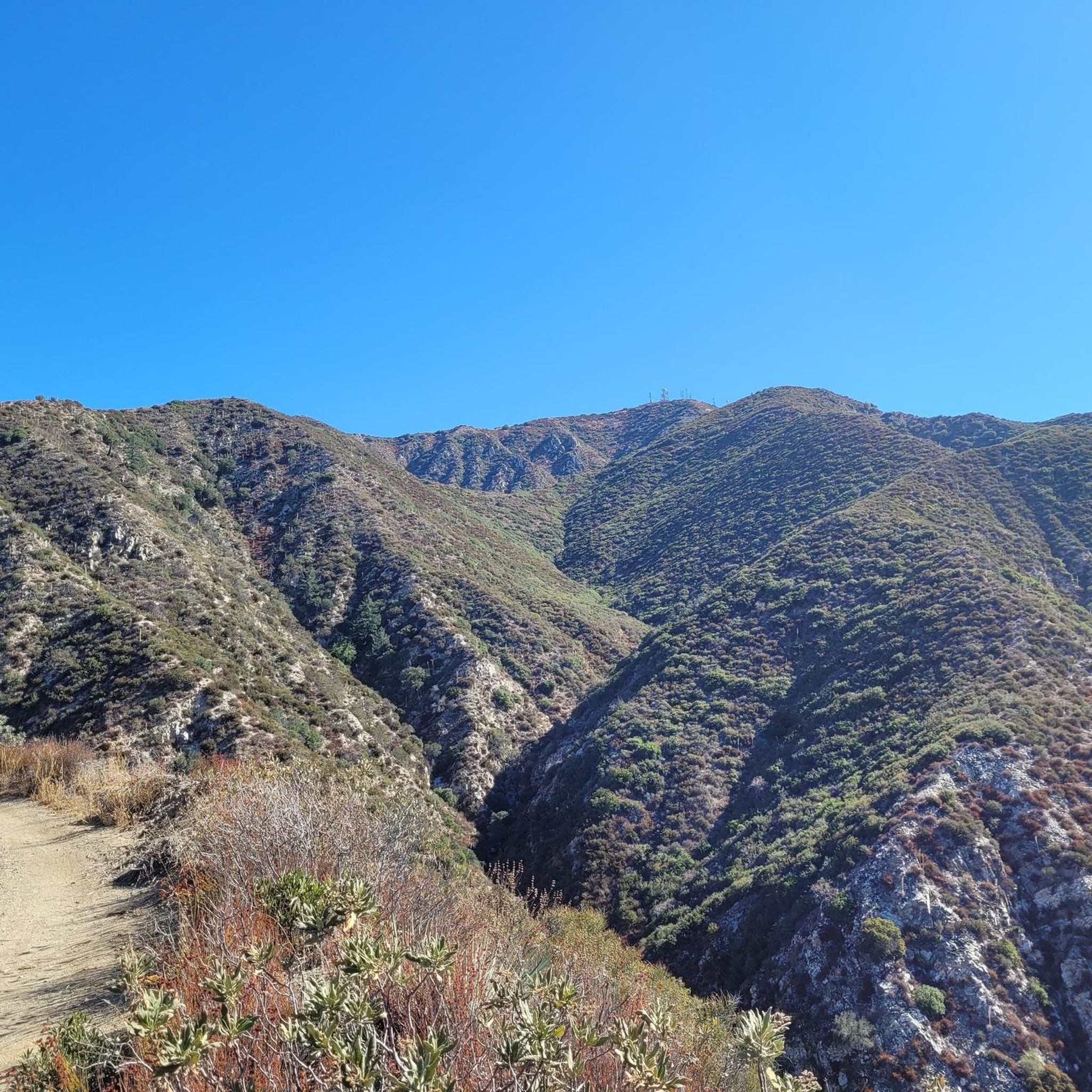
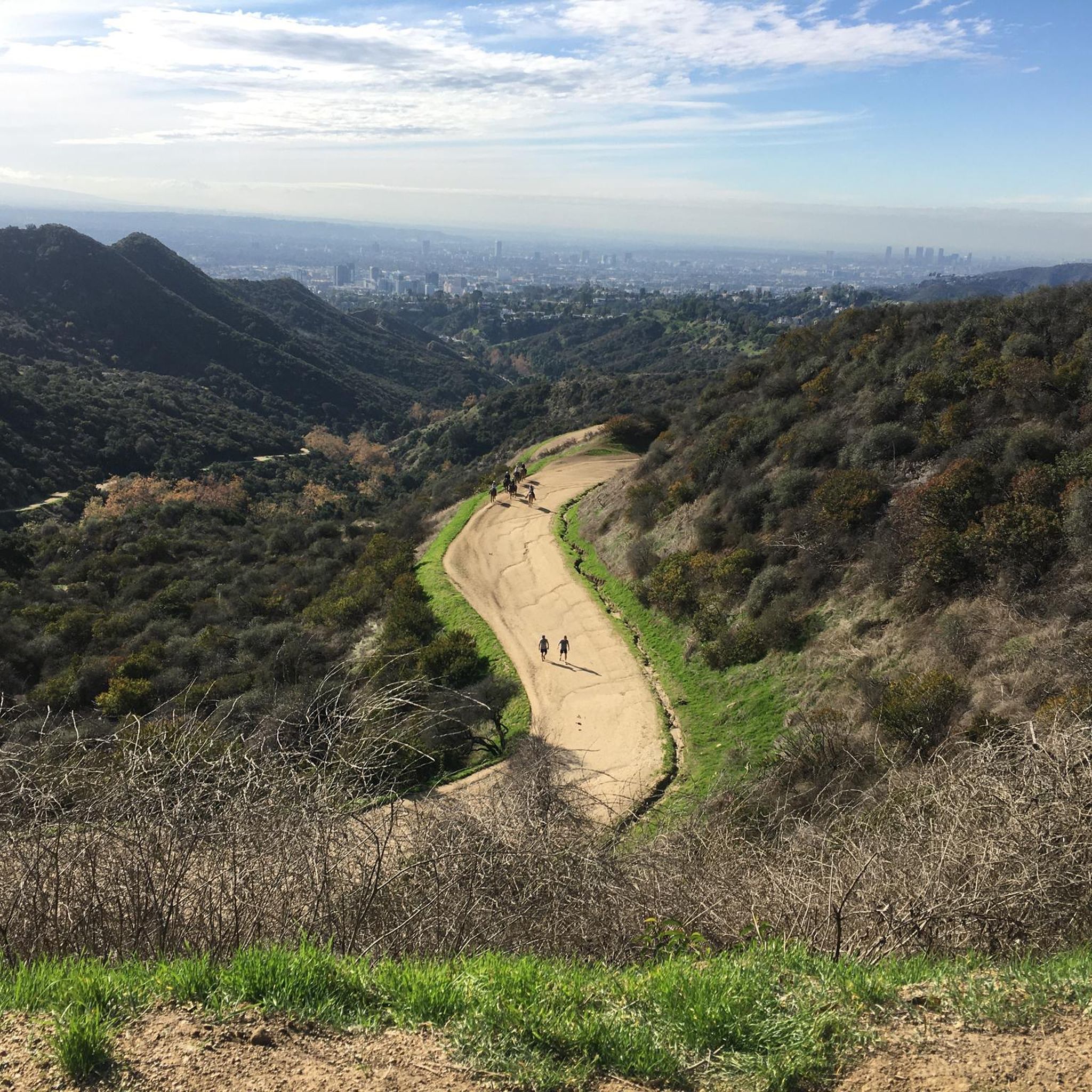
Touring cycling in Fond Wilderness Preserve offers a diverse landscape characterized by significant elevation changes and varied terrain. The region features prominent peaks such as Verdugo Peak, along with a network of fire roads and open spaces. These physical features provide challenging ascents and descents, making it suitable for experienced touring cyclists.
Best touring cycling routes in Fond Wilderness Preserve
- The most popular touring cycling route is The Grotto – Hostetter fire road loop from Burbank Airport–North, an 18.7…
Last updated: September 29, 2026
19
riders
82.8km
06:12
1,990m
1,980m
Hard bike ride. Very good fitness required. Mostly paved surfaces. Suitable for all skill levels.
13
riders
69.1km
04:16
620m
620m
Hard bike ride. Very good fitness required. Mostly paved surfaces. Suitable for all skill levels.

10
riders
30.0km
02:40
760m
760m
Hard bike ride. Very good fitness required. Mostly paved surfaces. Suitable for all skill levels.
9
riders
Hard bike ride. Very good fitness required. Mostly paved surfaces. Suitable for all skill levels.
4
riders
89.9km
06:47
1,900m
1,900m
Hard bike ride. Very good fitness required. Mostly paved surfaces. Suitable for all skill levels.
Get access to more routes and recommendations from other explorers.
Already have an account?
Our route recommendations are based on thousands of hikes, rides, and runs completed by other people on komoot.
Start today with a free account
Your next adventure awaits.



Tips from the Community

Short tunnel on the eastern slope below San Gabriel Peak, part of the old Mt Lowe Motorway, that was never paved. The tunnel is very short, so you don't have to worry about bringing light. The road continues to the trailhead half a mile uphill.
0
0


For a ride with history and views, check out the Ye Alpine Tavern ruins in the San Gabriel Mountains. Once a popular mountain resort, it burned down in 1936 and was later demolished, but you can still spot the stone fireplace, foundation, and water tank.
0
0

This tunnel was blasted into existence in 1942 to form the old Mount Lowe Motorway.
0
0

The Grotto is a deep canyon with steep walls shaded by large trees. Depending on the season there is also a waterfall with a small pool. There is a picnic area with tables and benches in the Grotto, making it a great spot to relax, cool off, and enjoy the scenery.
0
0

Red Box Gap, located below Lawlor Peak, offers great views and an ideal spot for a break. A 3.5-mile trail from here leads to Strawberry Peak, which comes into view before reaching the saddle. Popular with hikers and bikers, Red Box has a trailhead parking area, the Haramokngna American Indian Cultural Center, and a natural stone viewpoint. The center typically opened on weekends and holidays from 10 a.m. to 6 p.m.
0
0
Explore the looped road around the summit of Mount Wilson, a prominent peak known for its historic Mount Wilson Observatory. The summit houses telescopes, solar towers, and the modern CHARA Array for stellar research. Standing at 5,710 feet, Mount Wilson offers sweeping views of the Los Angeles Basin, the Pacific Ocean, and the Channel Islands on clear days. This site also serves as a major broadcast hub for the Greater Los Angeles area, easy to see with the numerous antennas and relay facilities sticking out all over the summit.
1
0

Named after the famous playwright due to its gothic design, this bridge was named as a Los Angeles Historic-Cultural Monument in 1974.
0
0
Frequently Asked Questions
What kind of terrain can I expect on touring cycling routes in Fond Wilderness Preserve?
Fond Wilderness Preserve is characterized by significant elevation changes and varied terrain, including a network of fire roads and open spaces. You can expect challenging ascents and descents, making it suitable for experienced touring cyclists.
Are there any easy touring cycling routes for beginners?
While the region is known for its more demanding routes, there are 5 easy touring cycling routes available in Fond Wilderness Preserve. These offer a less strenuous option for those new to touring cycling or looking for a more relaxed ride.
How many touring cycling routes are available in Fond Wilderness Preserve?
There are over 35 touring cycling routes in Fond Wilderness Preserve, offering a wide range of options for different skill levels, though the majority are considered difficult.
Can I find circular touring cycling routes in Fond Wilderness Preserve?
Yes, many routes in Fond Wilderness Preserve are designed as loops. For example, you can explore the The Grotto – Hostetter fire road loop from Burbank Airport–North, which offers a challenging circular ride through varied terrain.
What are some of the longer touring cycling routes in the preserve?
For a substantial challenge, consider the Verdugo Peak – Verdugo Mountain loop from Burbank Airport–North. This extensive route covers nearly 56 miles (90 km) with considerable climbing and panoramic views from Verdugo Peak.
Are there any shorter touring cycling options available?
Yes, for a shorter ride, the Bike loop from Woodbury University is a good option. It's about 9.6 miles (15.4 km) long and leads through varied terrain, typically completed in under two hours.
What do other touring cyclists say about the routes in Fond Wilderness Preserve?
The touring cycling routes in Fond Wilderness Preserve are highly rated by the komoot community, with an average score of 4.7 stars from over 29 reviews. Cyclists often praise the challenging climbs, scenic fire roads, and the sense of wilderness in the open spaces.
Are there any routes that offer significant elevation gain?
Many routes in Fond Wilderness Preserve feature significant elevation gain. For instance, the Veterans Memorial Park – Dillon Divide loop from Hansen Dam Recreation Area involves over 1185 meters (3888 feet) of climbing, providing a strenuous workout and rewarding views.
What kind of views can I expect on the touring cycling routes?
Given the significant elevation changes and prominent peaks like Verdugo Peak, many routes offer panoramic views of the surrounding wilderness and open spaces. The challenging climbs often lead to rewarding vistas.
Are there any routes that explore the MRCA Open Space?
Yes, you can explore the MRCA Open Space on routes such as the MRCA Open Space – Hostetter fire road loop from Haines Canyon Park. This route covers over 22 km (13.7 miles) and features challenging climbs through the open landscape.
What is the best time of year for touring cycling in Fond Wilderness Preserve?
While specific seasonal data isn't provided, regions with significant elevation changes and open spaces like Fond Wilderness Preserve often offer pleasant cycling conditions in spring and fall when temperatures are moderate. Summers can be hot, and winters might bring cooler, potentially wet weather at higher elevations.
Most popular routes in Fond Wilderness Preserve

Get inspired with the komoot mobile app


Explore more
Browse the best Cycling routes in other regions.
