The best walks and hikes in Fond Wilderness Preserve
4.4
(21)
318
hikers
32
hikes
Hiking in Fond Wilderness Preserve explores the dry canyons and rolling hills of the Verdugo Mountains in Los Angeles County. The trail network features routes that ascend from canyon floors to exposed ridges, offering views across the surrounding area. The terrain consists mainly of dirt paths and fire roads through chaparral and scrubland. These hiking trails provide a mix of accessible loops and more challenging ascents to local peaks.
Best hiking trails in Fond Wilderness Preserve
- The most popular hiking…
Last updated: June 28, 2026
3.11km
01:02
230m
10m
Easy hike. Great for any fitness level. Easily-accessible paths. Suitable for all skill levels.
10.7km
03:24
650m
70m
Moderate hike. Good fitness required. Easily-accessible paths. Suitable for all skill levels.

Sign up for free
2.28km
00:35
10m
20m
Easy hike. Great for any fitness level. Easily-accessible paths. Suitable for all skill levels.
5.94km
01:56
300m
230m
Easy hike. Great for any fitness level. Easily-accessible paths. Suitable for all skill levels.
4
hikers
5.02km
01:34
210m
210m
Easy hike. Great for any fitness level. Easily-accessible paths. Suitable for all skill levels.
Get access to more routes and recommendations from other explorers.
Sign up for free
Already have an account?
Our route recommendations are based on thousands of hikes, rides, and runs completed by other people on komoot.
Start today with a free account
Your next adventure awaits.
Login or Signup



Tips from the Community

Punchy climbs with loose dirt, hard efforts. Bring plenty of water
0
0

You can approach this 3,124-foot peak from several directions, but the multi-use Verdugo Motorway is the most common uphill option.
0
0

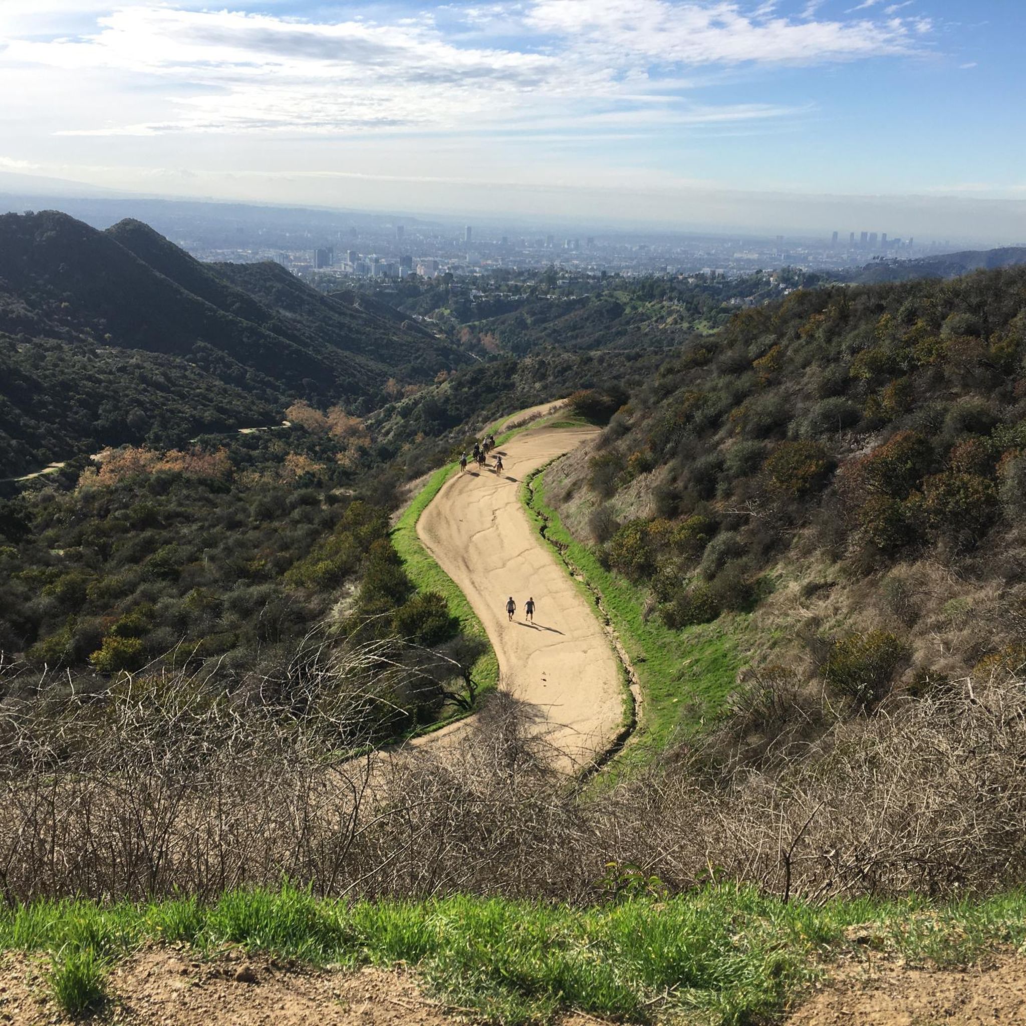
The La Tuna Canyon Trail climbs steep, gravelly switchbacks through canyons lined with oak and sycamore trees to the top of a prominent ridge. From the summit of the ridge, you get great views of the San Gabriel Mountains, the San Fernando Valley, and Los Angeles.
0
0
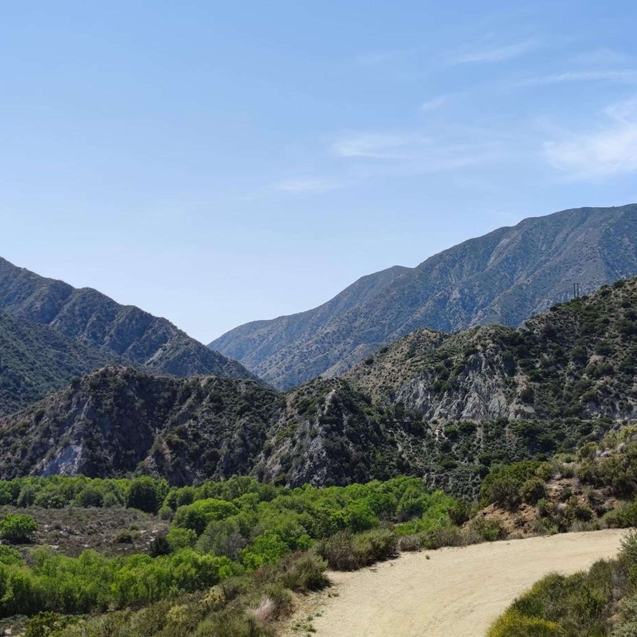
Verdugo Peak stands at 1835 feet and is a remote feeling summit off of the Verdugo Motorway. This sunny summit grants you fantastic views across the Verdugo Mountains and the valley below. In the spring there are often wildflowers along the motorway.
0
0

The Verdugos is a mountain range offering a fantastic array of adventures away from the urban sprawl in every direction. Mountain biking and gravel riding are particularly great, because you can follow quiet tracks to epic viewpoints just like this one.
0
0
Frequently Asked Questions
Are dogs allowed on the trails in the Fond Wilderness Preserve?
Generally, trails in the Verdugo Mountains are dog-friendly, but your dog must be kept on a leash at all times. It's always a good practice to check the specific regulations at the trailhead before you start, as rules can vary between different parks and access points.
Are there any easy, family-friendly hikes available?
Yes, the area offers accessible options for families and beginners. The La Tuna Canyon loop — La Tuna Canyon Park is a great choice, featuring a gradual ascent over its 3.1-mile (5.0 km) distance, making it suitable for a wide range of fitness levels.
What kind of wildlife might I see while hiking?
The chaparral and scrubland environment of the Verdugo Mountains supports a variety of wildlife. While hiking, you might spot mule deer, coyotes, and various bird species, including hawks and roadrunners. Always remember to observe wildlife from a distance and never feed the animals.
How many hiking trails are in the Fond Wilderness Preserve?
There are over 15 distinct hiking routes to explore in this area. The network includes a mix of trail types, from easy canyon loops to challenging ascents up to local peaks, offering something for every ability level.
Are there any circular walks or loop trails?
Yes, there are several loop trails that allow you to enjoy a varied hike without backtracking. For a moderately challenging loop with significant elevation, consider the Verdugo Peak loop from La Crescenta, which covers about 7.3 miles (11.8 km).
What are the trail conditions like?
The trails primarily consist of dirt paths and wider fire roads. The terrain is often dry and can be rocky or uneven in places. Expect exposed ridgelines with little shade, so it's important to wear sturdy footwear and bring sun protection.
How do other hikers rate the trails in this area?
The trails are highly regarded by the komoot community, holding an average rating of 4.3 out of 5 stars. Hikers often praise the expansive views from the ridges and the rewarding climbs from the canyon floors.
What is a good option for a challenging hike?
For experienced hikers looking for a strenuous workout with great rewards, the Verdugo Peak via Wildwood Canyon — Wildwood Canyon Park is an excellent choice. This route involves a significant climb of over 1,780 feet (540 m) to the summit.
Where can I find the best views?
Many trails ascend from the canyons to exposed ridges, offering fantastic panoramic views. Routes that climb towards Verdugo Peak, such as the Verdgo Peak via Tuna Canyon — La Tuna Canyon Park trail, are renowned for their scenic vistas over the surrounding landscape.
Is it possible to go hiking here in the winter?
Yes, hiking is a year-round activity in the Verdugo Mountains due to the mild Southern California climate. Winter can be a particularly pleasant time to hike, with cooler temperatures and clearer air. However, be sure to check the weather forecast as trails can become muddy after rain.
Are there any trails with waterfalls?
The hikes in this area are characterized by dry canyons and chaparral landscapes, so prominent waterfalls are not a typical feature of the trail network. The routes focus more on ridgeline views and canyon exploration.
What kind of elevation gain should I expect?
The elevation gain varies significantly depending on the trail. You can find easier loops with around 675 feet (206 m) of ascent, while more difficult routes that climb to the peaks can involve gains of over 1,800 feet (550 m).
Most popular routes in Fond Wilderness Preserve

Get inspired with the komoot mobile app


Explore more
Browse the best Hikes in other regions.
