The best road cycling routes in Fond Wilderness Preserve
4.4
(24)
1,353
riders
19
rides
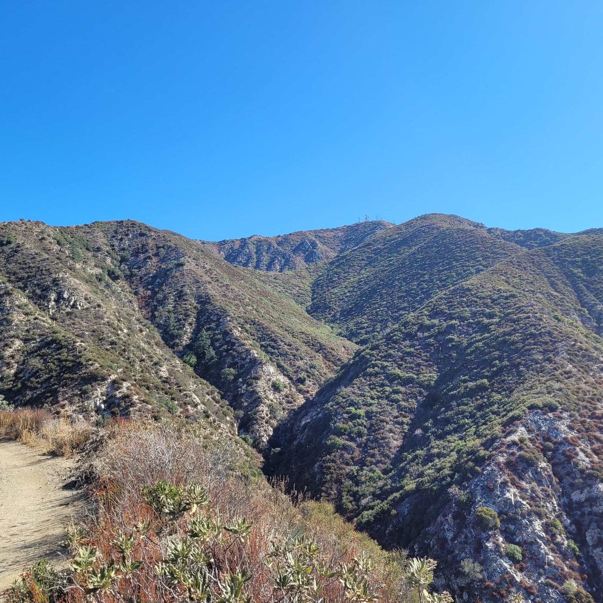
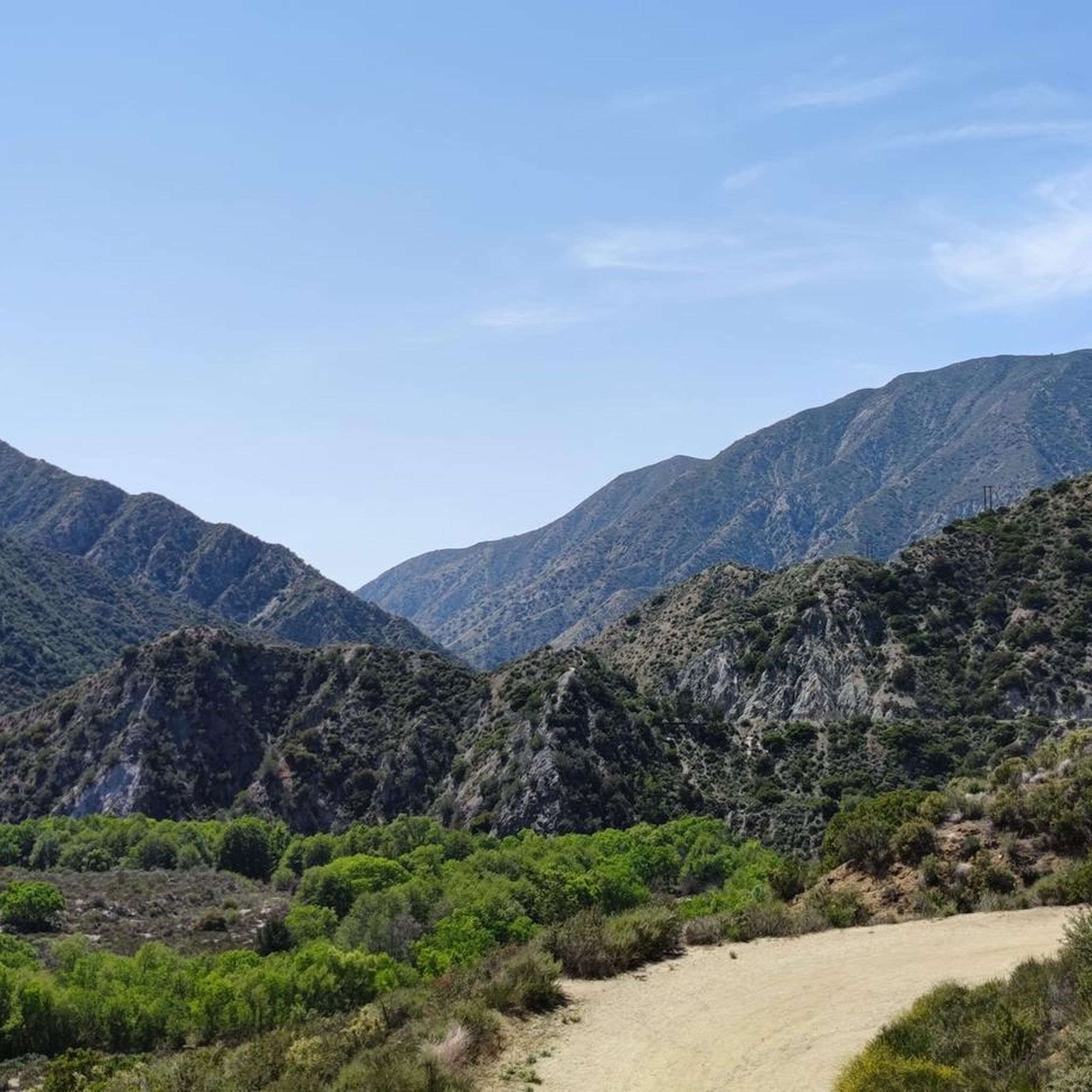
Road cycling routes in Fond Wilderness Preserve traverse a landscape characterized by canyons, hills, and scenic overlooks within Los Angeles County. The terrain features sustained climbs and descents, providing varied challenges for road cyclists. Routes frequently pass through areas with significant elevation changes, offering views of the surrounding natural environment. The preserve's road network connects different points of interest, including dam overlooks and canyon roads.
Best road cycling routes in Fond Wilderness Preserve
- The most popular road cycling route is…
Last updated: October 9, 2026
19
riders
85.5km
05:19
2,090m
2,090m
Hard road ride. Very good fitness required. Some segments of this route may be unpaved and difficult to ride.
57
riders
52.4km
02:57
1,160m
1,160m
Hard road ride. Very good fitness required. Some segments of this route may be unpaved and difficult to ride.

58
riders
37.2km
01:46
460m
460m
Moderate road ride. Good fitness required. Mostly well-paved surfaces and easy to ride.
9
riders
26.8km
01:18
380m
380m
Moderate road ride. Good fitness required. Mostly well-paved surfaces and easy to ride.
5
riders
40.5km
02:05
490m
490m
Moderate road ride. Good fitness required. Mostly well-paved surfaces and easy to ride.
Get access to more routes and recommendations from other explorers.
Already have an account?
Our route recommendations are based on thousands of hikes, rides, and runs completed by other people on komoot.
Start today with a free account
Your next adventure awaits.



Tips from the Community

From this spot, you can see the observatory on Mount Disappointment, along with views of the San Gabriel Mountains and Valley.
0
0

The Verdugo Wash Debris Basin is a beautiful, small lake created by the Verdugo Wash, a tributary of the Los Angeles River. There are nice views of the lake from both Country Club Drive and La Crescenta Avenue.
0
0

The Grotto is a deep canyon with steep walls shaded by large trees. Depending on the season there is also a waterfall with a small pool. There is a picnic area with tables and benches in the Grotto, making it a great spot to relax, cool off, and enjoy the scenery.
0
0

A quick pull-off from the Angeles Crest Highway gives way to Millard Falls Trailhead and LA Overlook, with great views of downtown and the forests in the gateway to Angeles National Forest.
0
0
Red Box Gap, located below Lawlor Peak, offers great views and an ideal spot for a break. A 3.5-mile trail from here leads to Strawberry Peak, which comes into view before reaching the saddle. Popular with hikers and bikers, Red Box has a trailhead parking area, the Haramokngna American Indian Cultural Center, and a natural stone viewpoint. The center typically opened on weekends and holidays from 10 a.m. to 6 p.m.
0
0
Explore the looped road around the summit of Mount Wilson, a prominent peak known for its historic Mount Wilson Observatory. The summit houses telescopes, solar towers, and the modern CHARA Array for stellar research. Standing at 5,710 feet, Mount Wilson offers sweeping views of the Los Angeles Basin, the Pacific Ocean, and the Channel Islands on clear days. This site also serves as a major broadcast hub for the Greater Los Angeles area, easy to see with the numerous antennas and relay facilities sticking out all over the summit.
1
0
Visit the Big Tujunga Dam Overlook for awesome views of the Big Tujunga River and the concrete arch dam. Built in 1931, the dam features a reservoir about 89 square acres in size. The dam is key for flood protection and water conservation.
1
0
La Tuna Canyon Road is a fairly quiet road that winds through the green hills behind Burbank. There are some ups and downs, but you will be treated to some nice views as you get higher.
0
0
Frequently Asked Questions
What kind of terrain can I expect on road cycling routes in Fond Wilderness Preserve?
Road cycling in Fond Wilderness Preserve is characterized by a diverse landscape of canyons, rolling hills, and scenic overlooks within Los Angeles County. You'll encounter routes with sustained climbs and descents, significant elevation changes, and often pass by dam overlooks and along winding canyon roads.
Are there road cycling routes suitable for beginners in Fond Wilderness Preserve?
While many routes feature challenging climbs, there are options for various ability levels. The preserve offers at least one easy route, alongside 19 moderate and 7 difficult routes. For a less strenuous ride, look for routes with minimal elevation gain.
What are some challenging road cycling routes in Fond Wilderness Preserve?
For experienced road cyclists seeking a challenge, Fond Wilderness Preserve offers several demanding routes. Consider the Big Tujunga Dam Overlook loop from Tujunga, a difficult 52.4 km ride with over 1,100 meters of elevation gain. Another option is the Railway yard with steam trains – Baum Bicycle Bridge loop from Tujunga, which spans 86.1 km and also features substantial climbing.
How long do road cycling routes typically take in Fond Wilderness Preserve?
Route durations vary significantly based on distance and elevation. For example, the moderate La Tuna Canyon Road – Miradero Gate loop from Burbank Airport–North, at 37.1 km, typically takes around 1 hour 45 minutes. Longer, more difficult routes like the Big Tujunga Dam Overlook – Mill Creek Summit loop from Sun Valley, which is 128.8 km, can take over 6 hours to complete.
Are there any loop trails for road cycling in Fond Wilderness Preserve?
Yes, many of the road cycling routes in Fond Wilderness Preserve are designed as loops, allowing you to start and end at the same point. Examples include the popular Big Tujunga Dam Overlook loop from Tujunga and the Mount Hollywood Drive – Travel Town Museum loop from Burbank Airport–North.
What are the best times of year for road cycling in Fond Wilderness Preserve?
Given its location in Los Angeles County, Fond Wilderness Preserve generally offers good road cycling conditions year-round. However, spring and fall often provide the most comfortable temperatures, avoiding the peak heat of summer and potential cooler, wetter conditions in winter. Always check local weather forecasts before heading out.
Where can I find parking for road biking in Fond Wilderness Preserve?
Many routes originate from towns bordering the preserve, such as Tujunga or Burbank Airport–North, where public parking options may be available. Specific parking details often depend on the trailhead or starting point of your chosen route. It's advisable to check the route description on komoot for recommended parking areas.
What do other road cyclists say about the routes in Fond Wilderness Preserve?
The road cycling routes in Fond Wilderness Preserve are highly regarded by the komoot community, holding an average rating of 4.6 stars from over 30 reviews. Cyclists frequently praise the challenging climbs, the rewarding scenic overlooks, and the diverse terrain that defines the preserve's road network.
Are there any viewpoints or scenic overlooks along the road cycling routes?
Yes, the preserve is known for its scenic overlooks. Many routes, such as the Big Tujunga Dam Overlook loop from Tujunga, specifically feature dam overlooks and offer expansive views of the surrounding canyons and natural environment.
How many road cycling routes are available in Fond Wilderness Preserve?
There are over 25 distinct road cycling routes documented in Fond Wilderness Preserve on komoot, catering to a range of skill levels from moderate to difficult.
Are there any cafes or places to stop for refreshments near the road cycling trails?
While the preserve itself is a wilderness area, routes often start or pass through communities like Tujunga and Burbank. These areas typically offer various amenities, including cafes and shops, where you can refuel before or after your ride. It's recommended to plan your stops in advance, especially for longer routes.
Most popular routes in Fond Wilderness Preserve

Get inspired with the komoot mobile app


Explore more
Browse the best Road cycling routes in other regions.
