The best walks and hikes in Leo Carrillo State Park
4.9
(63)
1,025
hikers
55
hikes
Hikes in Leo Carrillo State Park explore a landscape where the Santa Monica Mountains meet the Pacific Ocean. The park features a mix of coastal terrain with beaches and bluffs, and a rugged backcountry with canyons and ridges. Trails ascend from the coastline into grassy meadows and oak-lined areas, providing varied options for hikers.
Best hiking trails in Leo Carrillo State Park
- The most popular hiking route is the Nicolas Flat Trail – Santa Monica Mountains National Recreation Area, a 7.2 mile (11.6 km) trail that takes about 4 hours to complete. This moderate hike ascends a coastal ridge, offering multiple ocean views.
- Another top favourite among local hiking enthusiasts is the Leo Carillo State Park – Nicolas Flat Trail View loop from Nicholas Canyon County Beach, a moderate 5.0 mile (8.0 km) path. The route climbs to provide panoramic views over the coast before looping back.
- Local hiking enthusiasts also love the Leo Carillo State Park loop from Leo Carrillo State Park, a 3.3 mile (5.2 km) trail leading through the park's lower elevations, often completed in about 1 hour 36 minutes.
- Hiking in Leo Carrillo State Park is defined by coastal bluffs, single-track trails ascending into the mountains, and paths through grassy meadows. The trail network offers routes for different ability levels, from short beach walks to more strenuous backcountry hikes.
- The routes in Leo Carrillo State Park are highly rated by the komoot community with an average score of 4.8 stars from more than 50 reviews. More than 1000 hikers have used komoot to explore Leo Carrillo State Park's varied terrain.
Last updated: June 23, 2026
6
hikers
6.15km
01:46
160m
150m
Easy hike. Great for any fitness level. Easily-accessible paths. Suitable for all skill levels.
22.5km
07:20
980m
990m
Hard hike. Very good fitness required. Easily-accessible paths. Suitable for all skill levels.

Sign up for free
5.0
(1)
11
hikers
11.6km
03:59
610m
610m
Moderate hike. Good fitness required. Easily-accessible paths. Suitable for all skill levels.
8
hikers
Moderate hike. Good fitness required. Easily-accessible paths. Suitable for all skill levels.
7
hikers
5.24km
01:36
180m
180m
Easy hike. Great for any fitness level. Easily-accessible paths. Suitable for all skill levels.
Get access to more routes and recommendations from other explorers.
Sign up for free
Already have an account?
Our route recommendations are based on thousands of hikes, rides, and runs completed by other people on komoot.
Start today with a free account
Your next adventure awaits.
Login or Signup

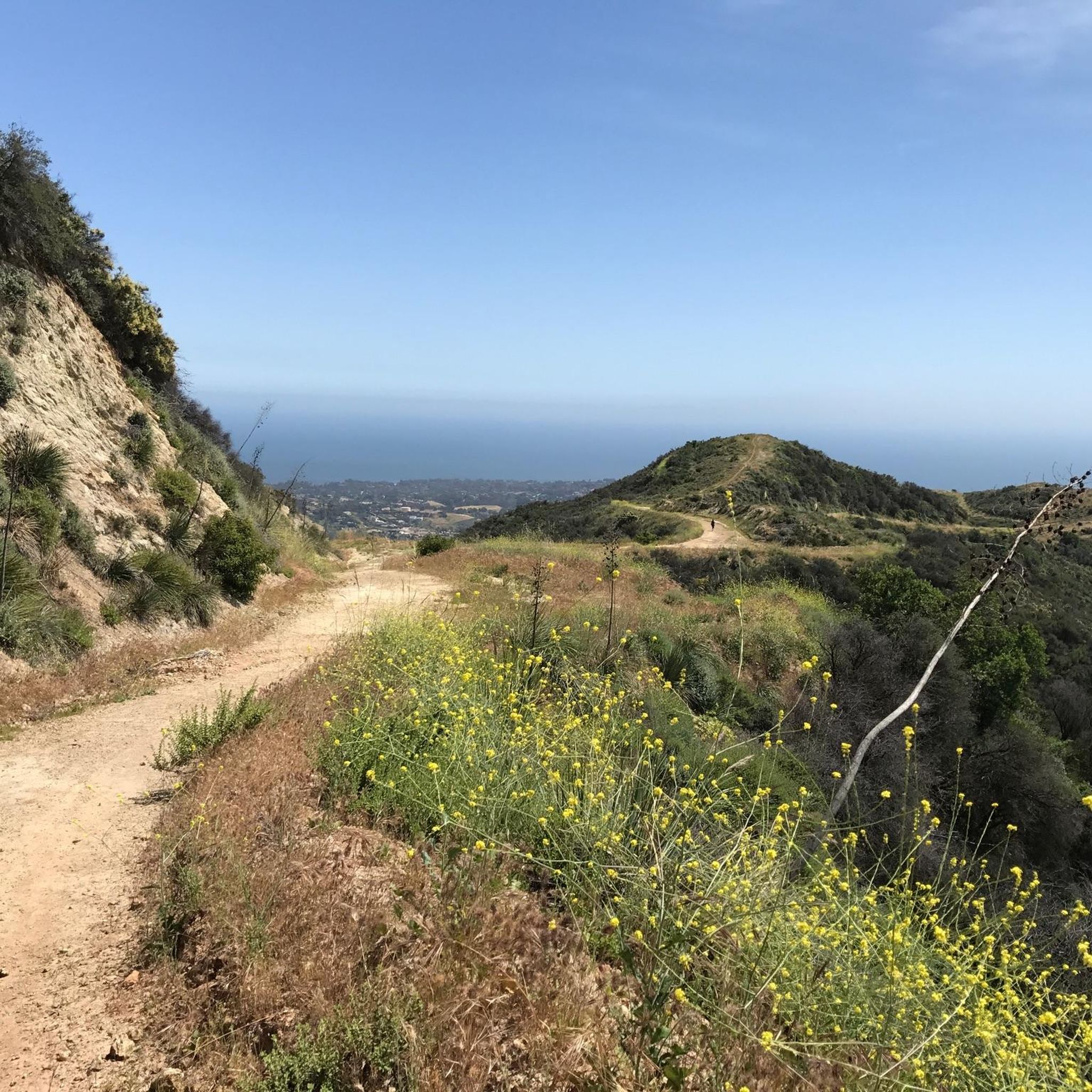
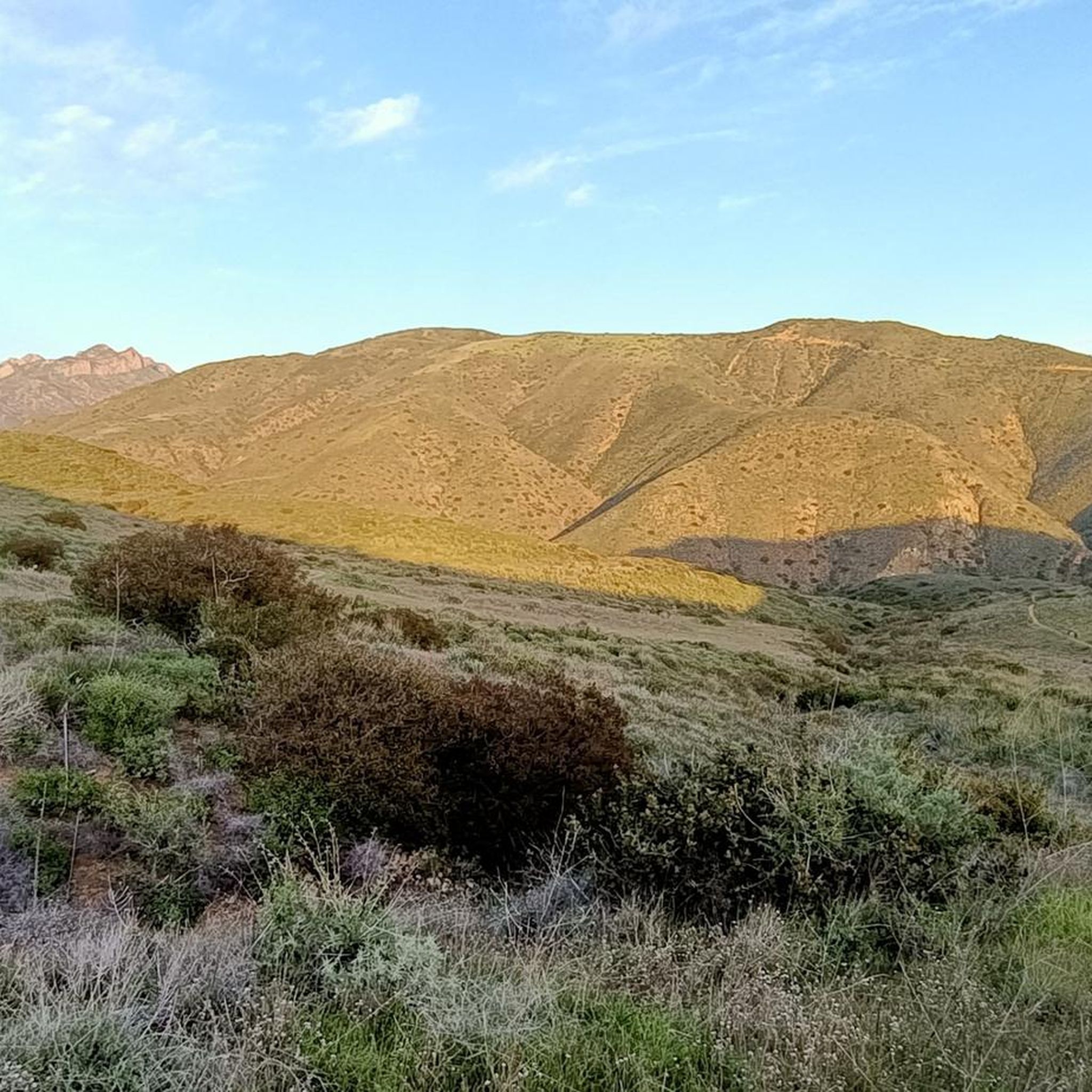
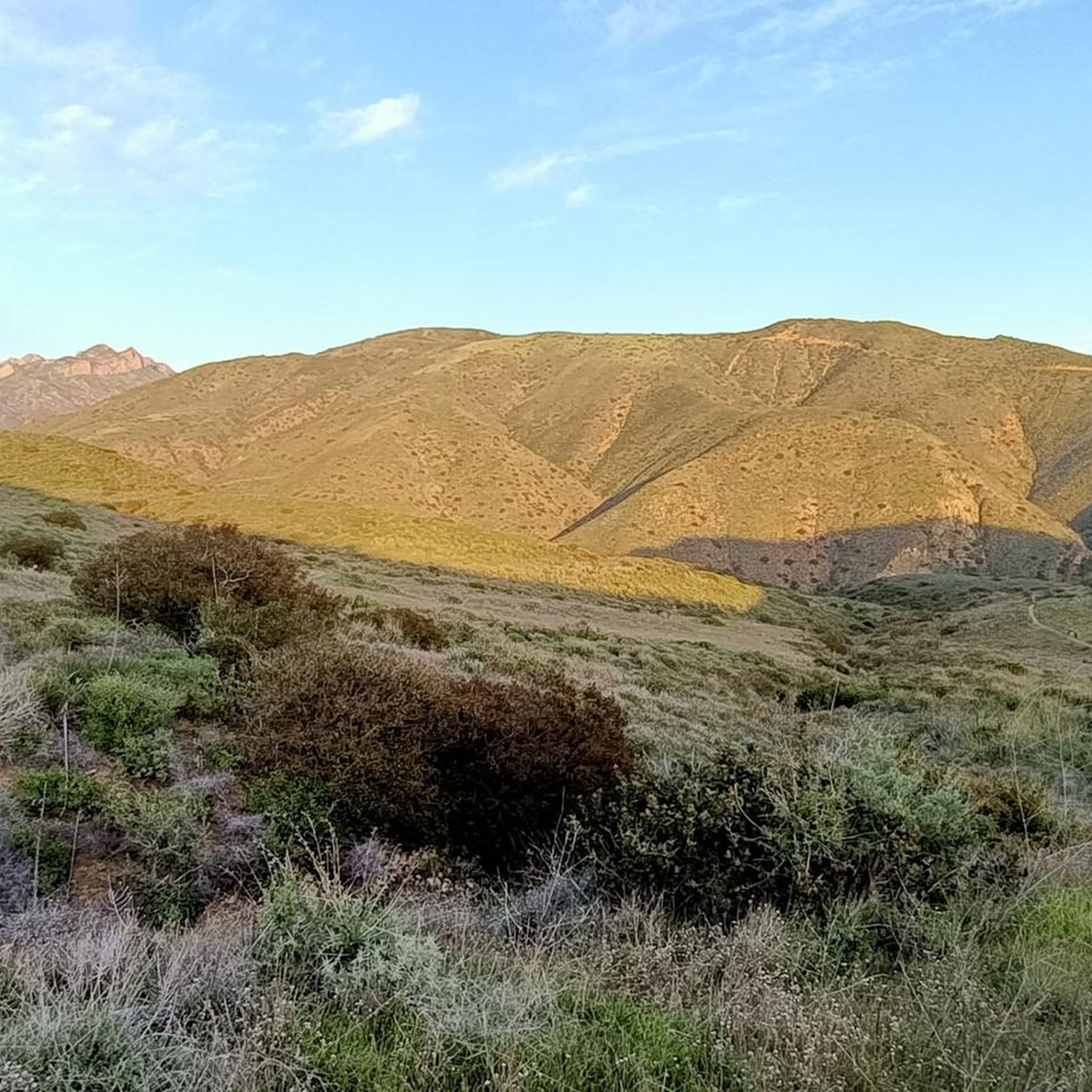
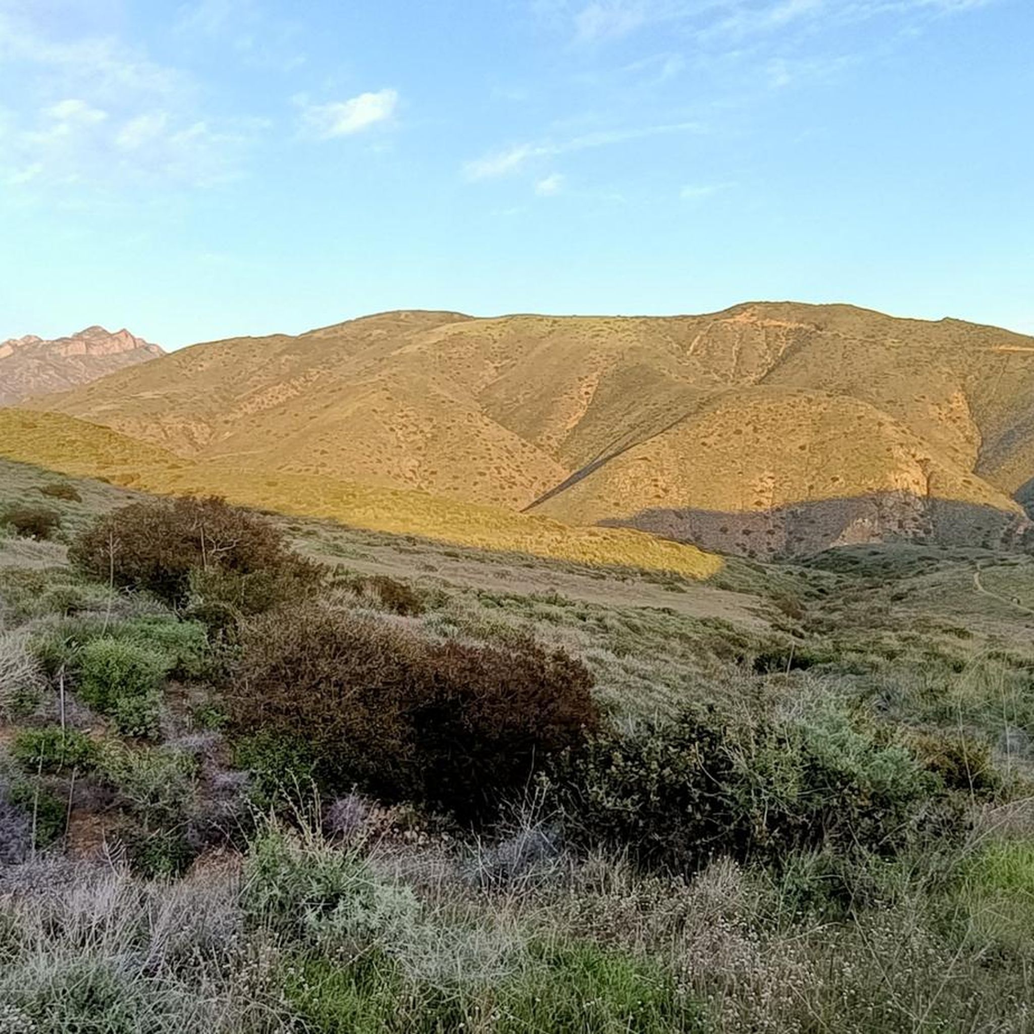
Other adventures in Leo Carrillo State Park

Tips from the Community


At the South Beach you can enjoy a great ocean view after a run through the mountains.
0
0
You can reach this beautiful viewpoint over a sidetrack of the Nicolas Flat Trail. From this point you can see the ocean, Point Dume and the surrounding mountains.
0
0
You can reach this beautiful viewpoint over a sidetrack of the Nicolas Flat Trail. From this point you can see the ocean and the surrounding mountains.
0
0

A direct hiking trail leads through a short tunnel from Leo Carillo parking area and campground to the beach. The South beach is forming a cove where the Arroyo Sequit reaches the ocean.
0
0
Leo Carillo has it all: rolling hills and trails climbing higher into the coastal range, a large campground with good facilities, and access to the beach on the other side of Highway 1, forming a cove where Arroyo Sequit reaches the ocean.
1
0
Frequently Asked Questions
Are dogs allowed on the trails in Leo Carrillo State Park?
Dogs are welcome on leash in the day-use areas, campgrounds, and on the beach north of lifeguard tower 3. However, they are generally not permitted on backcountry trails to protect wildlife and the natural habitat. Always check the official park regulations for the most current rules before you go.
Where can I find the best tide pools and sea caves?
The park's most impressive tide pools and sea caves are found along the beach, particularly around Sequit Point. These are best and most safely explored during low tide. You can discover a variety of marine life like sea stars, anemones, and crabs in the rocky pools.
Are there any easy, family-friendly hikes available?
Yes, the park offers several easier options. For a relatively short and gentle walk, consider the Leo Carillo State Park loop. This 3.3-mile (5.2 km) trail explores the park's lower elevations and is a great introduction to the area's scenery without a major climb.
What's a good hike for ocean views?
Many trails offer stunning coastal vistas. The Leo Carillo State Park – Nicolas Flat Trail View loop is a fantastic choice. This 5-mile (8 km) moderate hike climbs to provide panoramic views over the Pacific Ocean and Nicholas Canyon before looping back down.
How many hiking trails are in Leo Carrillo State Park?
There are over 40 designated hiking trails to explore within Leo Carrillo State Park. The network ranges from short, flat beach walks to strenuous backcountry climbs into the Santa Monica Mountains, offering options for all fitness levels.
What do other hikers enjoy most about the park?
The trails in Leo Carrillo State Park are highly regarded by the komoot community. Hikers frequently praise the dramatic contrast between the rugged mountain backcountry and the expansive Pacific Ocean views. The well-maintained single-track trails that climb from the coast into the hills are a particular favorite.
Where can I park when visiting for a hike?
The main entrance to Leo Carrillo State Park at 35000 Pacific Coast Hwy has paid parking lots that provide access to the beach, campgrounds, and several trailheads. Some trailheads, like the one for Nicholas Flat, may have separate access points with limited roadside parking, so it's wise to arrive early.
Are there any circular or loop hikes?
Yes, the park has several excellent loop trails. A great option is the Nicholas Flat Trail loop, a 2.5-mile (4 km) walk through the grassy meadows and oak trees of the Nicholas Flat area, offering a different environment from the coastal paths.
What kind of wildlife might I see?
The park's diverse habitats support a variety of wildlife. In the coastal sage scrub and riparian woodlands, you might spot rabbits, coyotes, and bobcats. The area is also rich in birdlife, including red-tailed hawks and acorn woodpeckers. Along the coast, look for shorebirds and marine life in the tide pools.
When is the best time to see wildflowers?
The best time to see wildflowers is typically in the spring, from late February to May, after the winter rains. The slopes and meadows, especially in areas like Nicholas Flat, come alive with color from species like California poppies, lupine, and Indian paintbrush.
How can I get a trail map for the park?
You can view and navigate all the trails on komoot. For a physical or PDF map, you can often obtain one at the park's entrance station or download one from the official California Department of Parks and Recreation website. A good option is the official park brochure and map.
What is the terrain like on the Nicholas Flat Trail?
The Nicolas Flat Trail is a classic 'ocean to mountains' single-track trail. It involves a significant climb up a coastal ridge with an elevation gain of around 2,000 feet (610 m). The effort is rewarded with continuous ocean views before you reach the grassy, oak-lined meadows of Nicholas Flat.
Most popular routes in Leo Carrillo State Park
Most popular attractions in Leo Carrillo State Park

Get inspired with the komoot mobile app


Explore more
Browse the best Hikes in other regions.
