The best cycling routes in Antonovich Open Space Preserve
4.7
(49)
402
riders
22
rides
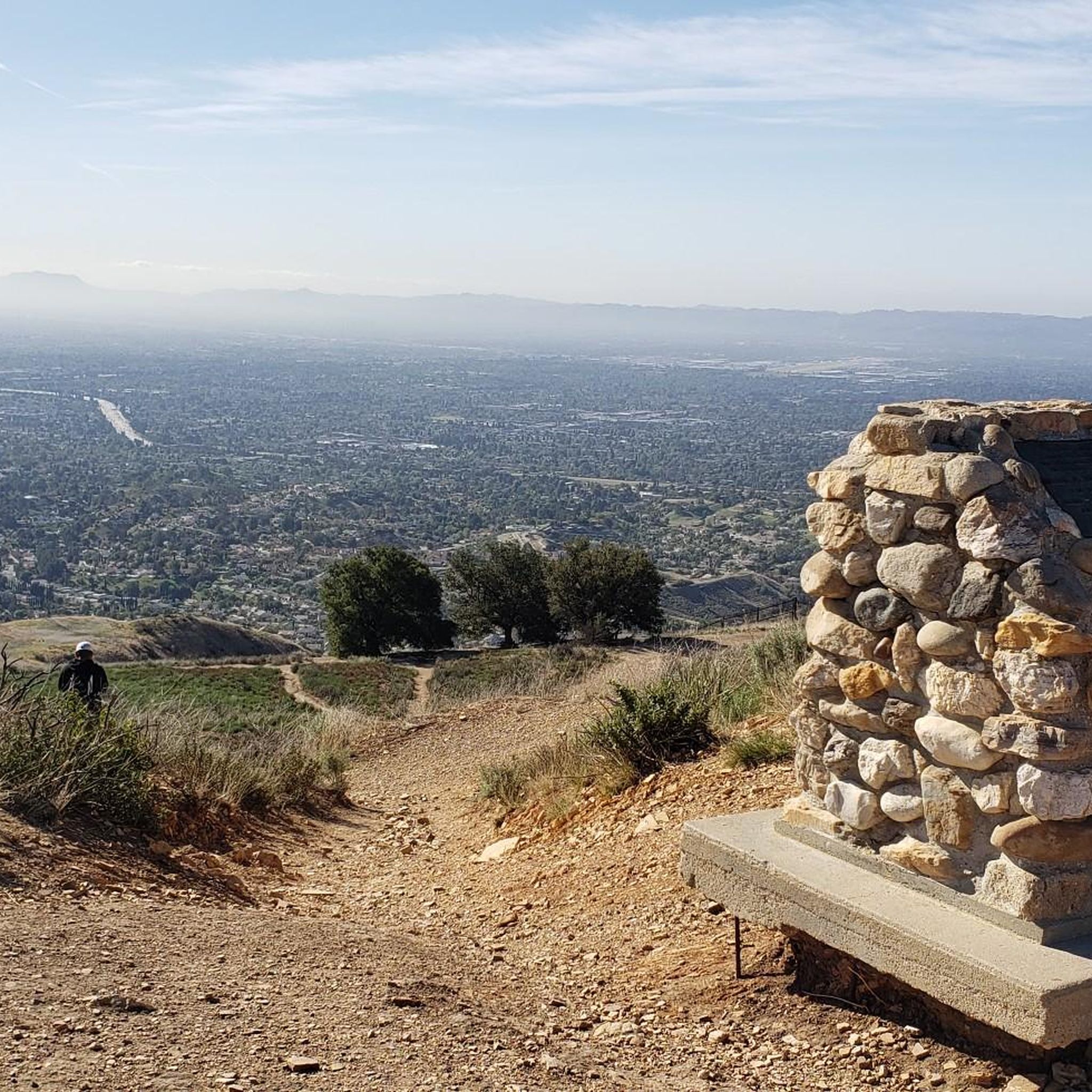
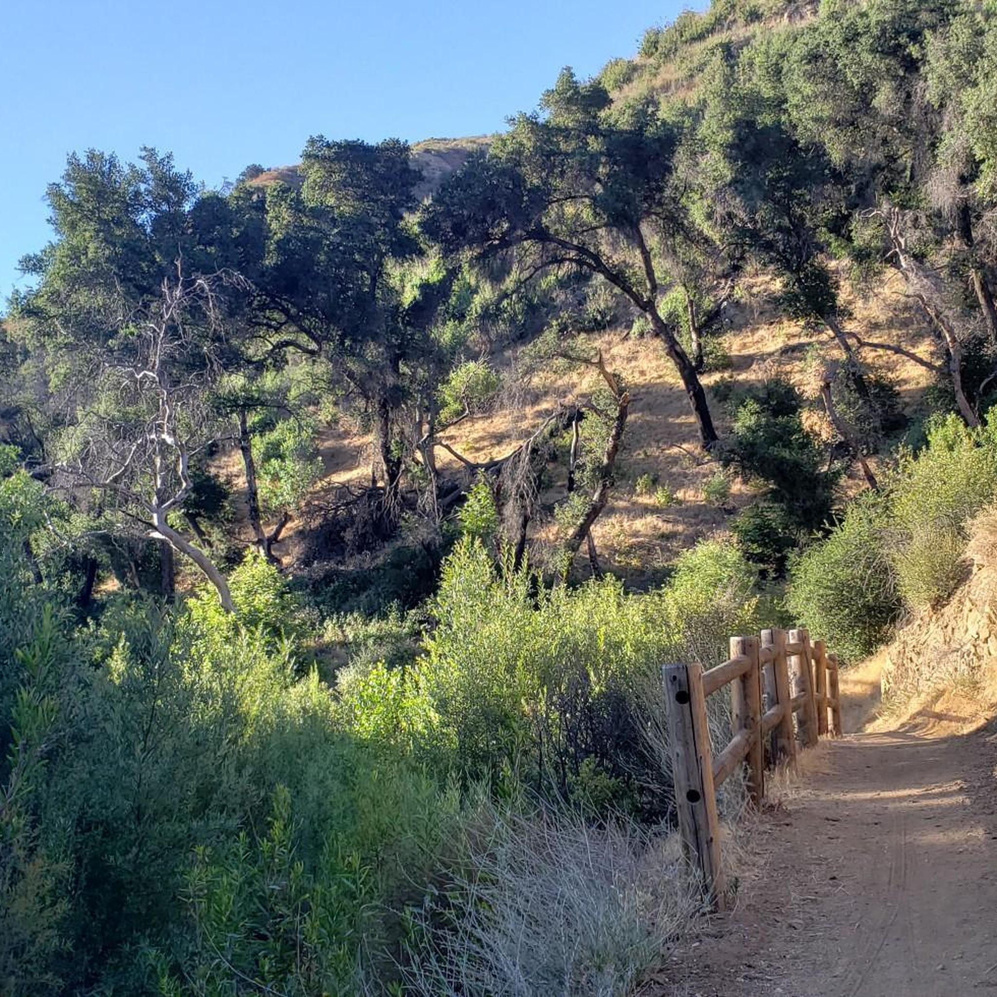
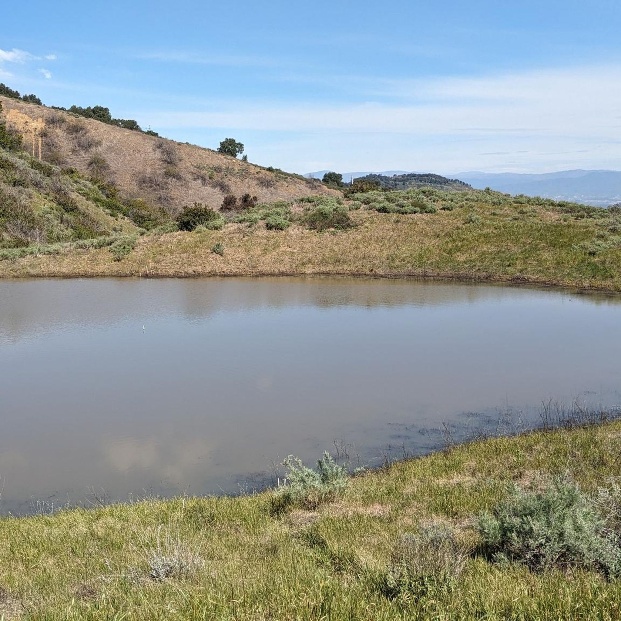
Touring cycling in Antonovich Open Space Preserve offers varied terrain across a 480-acre natural preserve. The landscape features canyons, rolling hills, and dense woodlands, providing diverse environments for cyclists. Elevation changes are present, offering both physical challenge and expansive views across surrounding areas. The preserve is characterized by mixed woodlands, chaparral vegetation, and trails that follow streams.
Best touring cycling routes in Antonovich Open Space Preserve
- The most popular touring cycling route is Bike loop from Porter Ranch Neighborhood Council…
Last updated: June 27, 2026
7
riders
37.7km
02:43
710m
710m
Hard bike ride. Very good fitness required. Mostly paved surfaces. Suitable for all skill levels.
5.0
(25)
104
riders
41.4km
02:24
160m
160m
Moderate bike ride. Good fitness required. Mostly paved surfaces. Suitable for all skill levels.

Sign up for free
5.0
(9)
29
riders
63.8km
03:47
300m
300m
Moderate bike ride. Good fitness required. Mostly paved surfaces. Suitable for all skill levels.
17
riders
18.7km
02:01
600m
600m
Hard bike ride. Very good fitness required. Mostly paved surfaces. Suitable for all skill levels.
4.0
(1)
17
riders
29.5km
01:45
150m
150m
Moderate bike ride. Good fitness required. Mostly paved surfaces. Suitable for all skill levels.
Get access to more routes and recommendations from other explorers.
Sign up for free
Already have an account?
Our route recommendations are based on thousands of hikes, rides, and runs completed by other people on komoot.
Start today with a free account
Your next adventure awaits.
Login or Signup
Tips from the Community

The Mountains Recreation and Conservation Authority (MRCA) Open Space includes a network of dirt roads through Elsmere and Whitney Canyons. There roads are also great sunny biking trails, from which you get great views of the mountains of Angeles National Forest.
0
0

At about 84 miles long, the Santa Clara River is the largest natural river system in southern California remaining in a relatively undeveloped state. Along its length there is the 8 mile long Santa Clara River Trail, which is a paved bicycle and walking path in the city of Santa Clarita.
0
0

Whitney Canyon Park spans 442 acres, offering hiking, biking, and horseback riding trails through oak woodlands and along creeks and small waterfalls. The trails provide awesome views year-round, while the cooler months are especially enjoyable. Lots of parking is available for the public.
0
0
Central Park features a 3.1-mile cross-country trail at its heart, a hub for athletes to train and compete. The trail is great for hiking, dog walking, and biking. A recent addition includes the Central Park Trail, which extends the network by connecting the park to Newhall Ranch Road.
0
0
Here, under the powerlines, South Fork River Trail and an extension of Newhall Avenue cross.
0
0

I usually turn around here.
0
0
Aliso Canyon Park is a public park with trails open every day from 7a.m. to 5 p.m. Trails are open to equestrians, hikers, and bikers. Some of the trails, like the Aliso Canyon Trail, are generally smooth but can get technical in some areas, so approach only if you are comfortable with more technical off-pavement riding.
0
0

Placerita is characterized by its east-west running canyon, shaded by oak groves. This trail follows alongside the canyon on a well-maintained dirt path, offering a consistent elevation change throughout.
0
0
Frequently Asked Questions
How many touring cycling routes are available in Antonovich Open Space Preserve?
There are over 20 touring cycling routes in Antonovich Open Space Preserve, offering a variety of experiences from easy loops to more challenging paths with significant climbs. The komoot community has explored these routes over 500 times.
What kind of terrain can I expect when touring cycling in Antonovich Open Space Preserve?
The preserve features varied terrain, including canyons, rolling hills, and dense woodlands. You'll encounter elevation changes that provide both a workout and expansive views. Trails range from wide, smooth paths suitable for mountain biking to diverse canyon scenery following streams. The landscape includes mixed woodlands with bigcone Douglas-fir, bigleaf maple, and coast live oak, as well as natural chaparral vegetation.
Are there any family-friendly touring cycling routes in the preserve?
Yes, Antonovich Open Space Preserve offers routes suitable for families. The preserve has trails with varying difficulty levels, including easy options. For instance, the East Canyon Trail loop is a 3.7-mile (6.0 km) easy loop that provides a gentle introduction to the area's natural features and diverse canyon scenery.
Can I bring my dog on the touring cycling trails?
The preserve is generally dog-friendly, but it's always best to check specific trail regulations regarding dogs, especially leash requirements. Many trails are wide, which can make it easier to cycle with a leashed dog while maintaining safety for other trail users.
What are some notable viewpoints or natural features to look out for?
Cyclists can enjoy expansive views across surrounding canyons and hills due to the rolling topography. The preserve is characterized by diverse ecology, including mixed woodlands and chaparral vegetation. Some trails follow streams, leading to diverse canyon scenery. The Aliso Canyon Park – Palisades Trail loop, for example, offers diverse canyon scenery, while the extended San Francisquito Creek Trail & Santa Clara River Trail loop leads through river corridors and open spaces.
Are there any circular touring cycling routes?
Yes, many routes in Antonovich Open Space Preserve are designed as loops, allowing you to start and end at the same point. An example is the Bike loop from Porter Ranch Neighborhood Council District, a moderate 8.2-mile (13.2 km) trail exploring local open spaces.
What is the best time of year to go touring cycling in Antonovich Open Space Preserve?
The cooler months are particularly enjoyable for exploring the trails and taking in the views. The diverse ecology and varied landscapes are pleasant year-round, but avoiding the peak heat of summer can enhance your experience.
What do other touring cyclists enjoy most about the routes here?
The routes in Antonovich Open Space Preserve are highly rated by the komoot community, with an average score of 4.9 stars from over 60 reviews. Reviewers often praise the varied terrain, the expansive views across canyons and hills, and the diverse woodlands that make for a scenic cycling experience.
Are there options for longer touring cycling routes that connect to other areas?
Yes, the preserve's connection to the broader Santa Clarita Woodlands Project and proximity to other natural areas like O'Melveny Park, Elsmere Canyon Park, and Whitney Canyon extends possibilities for longer touring routes. For example, the Santa Clarita River Trails Loop is a moderate 39.7-mile (63.8 km) route that connects various river corridors.
Where can I find information about parking or public transport access?
While specific parking details for each trailhead are not provided here, the preserve is accessible, and information regarding parking and public transport options can often be found through local county resources. For general information about the preserve, you might find details on the Los Angeles County Department of Parks and Recreation website, such as the guide available at lacounty.gov.
Are there any challenging routes for experienced touring cyclists?
Yes, for experienced touring cyclists seeking a challenge, there are difficult routes available. The preserve features significant elevation changes on some paths. An example is the Placerita Canyon Trail – Santa Clarita Trail loop from Newhall, a difficult 14.9-mile (23.9 km) route with substantial climbs.
Are there any paved or wide dirt paths suitable for touring bikes?
The preserve offers a mix of trail types. Many trails feature good flow and are wide, which is suitable for touring bikes and improves safety. There is also an extensive fire road system, which often provides more accessible and wider paths for cycling.
Most popular routes in Antonovich Open Space Preserve

Get inspired with the komoot mobile app


Explore more
Browse the best Cycling routes in other regions.
