The best running trails in Garland Ranch Regional Park
62
runners
8
runs
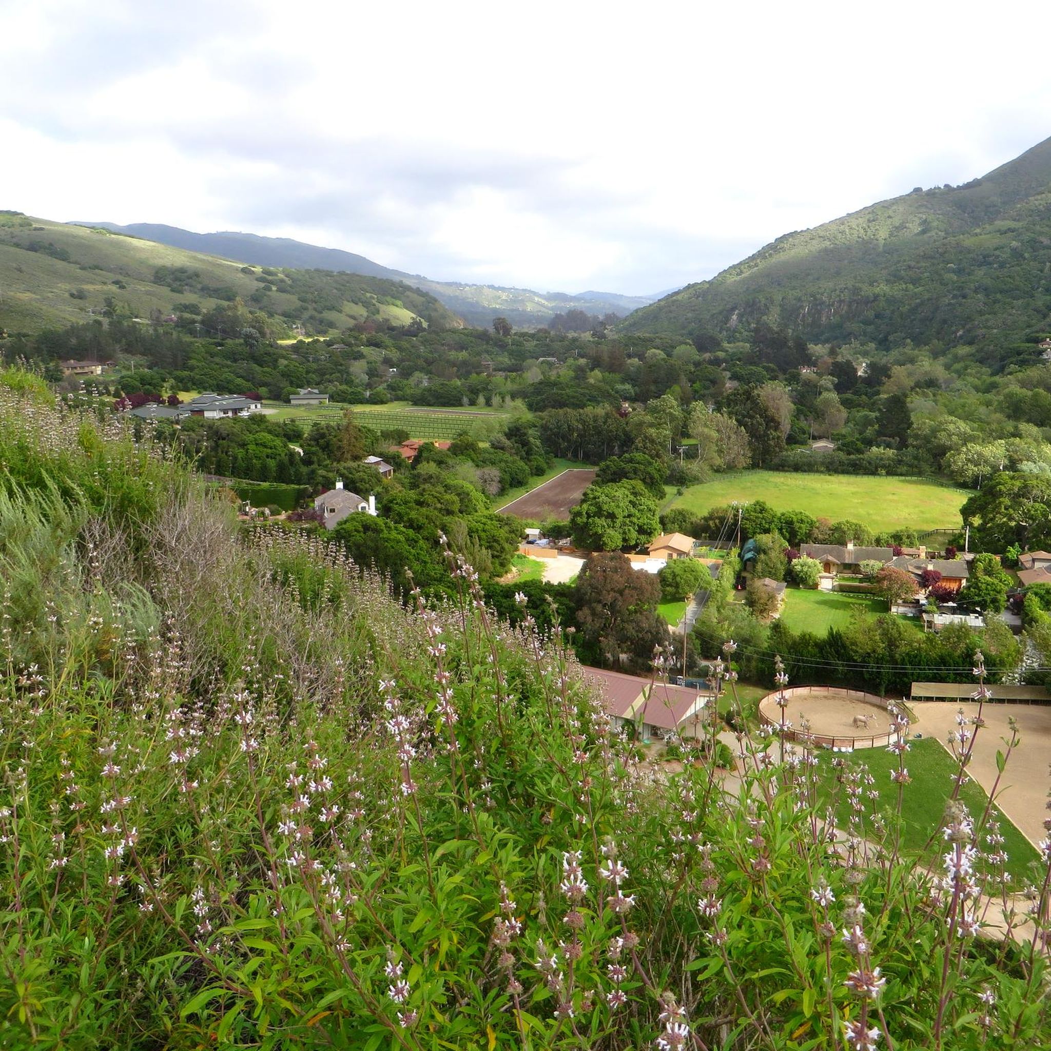
Jogging in Garland Ranch Regional Park offers a diverse landscape for runners. The park features a mix of valley floors, riparian areas along the Carmel River, and ascents to prominent points like Peñon Peak and Snively's Ridge. Elevation changes vary significantly across routes, providing options from gentle paths to challenging climbs. The terrain includes trails through varied vegetation, often leading to scenic viewpoints.
Best jogging routes in Garland Ranch Regional Park
- The most popular jogging route is Mesa Pond loop from Carmel Valley Rd / Garland Ranch, a 7.3 miles (11.8 km) trail that takes 1 hour 50 minutes to complete. This difficult route features significant elevation gain, leading through varied terrain.
- Another top favourite among local runners is Running loop from Carmel Valley Rd / Laureles Grade, a moderate 4.3 miles (7.0 km) path. This route offers a more gentle experience with less elevation, suitable for a quicker run.
- Local runners also love the Running loop from Carmel Valley Rd / Garland Ranch, a 2.5 miles (4.0 km) trail leading through the valley, often completed in about 29 minutes.
- Jogging in Garland Ranch Regional Park is defined by valley paths, ridge trails, and climbs to viewpoints. The network offers options for different ability levels, from easy jogging routes to advanced jogging trails.
- More than 40 runners have used komoot to explore Garland Ranch Regional Park's varied terrain.
Last updated: August 18, 2026
6
runners
4.02km
00:29
20m
20m
Easy run. Great for any fitness level. Mostly paved surfaces. Suitable for all skill levels.
7
runners
Hard run. Very good fitness required. Mostly paved surfaces. Suitable for all skill levels.

Sign up for free
6
runners
6.98km
00:48
50m
50m
Moderate run. Good fitness required. Mostly paved surfaces. Suitable for all skill levels.
4
runners
14.4km
02:03
620m
620m
Hard run. Very good fitness required. Mostly paved surfaces. Suitable for all skill levels.
6
runners
12.0km
01:43
540m
540m
Hard run. Very good fitness required. Mostly paved surfaces. Suitable for all skill levels.
Get access to more routes and recommendations from other explorers.
Sign up for free
Already have an account?
Our route recommendations are based on thousands of hikes, rides, and runs completed by other people on komoot.
Start today with a free account
Your next adventure awaits.
Login or Signup

Tips from the Community

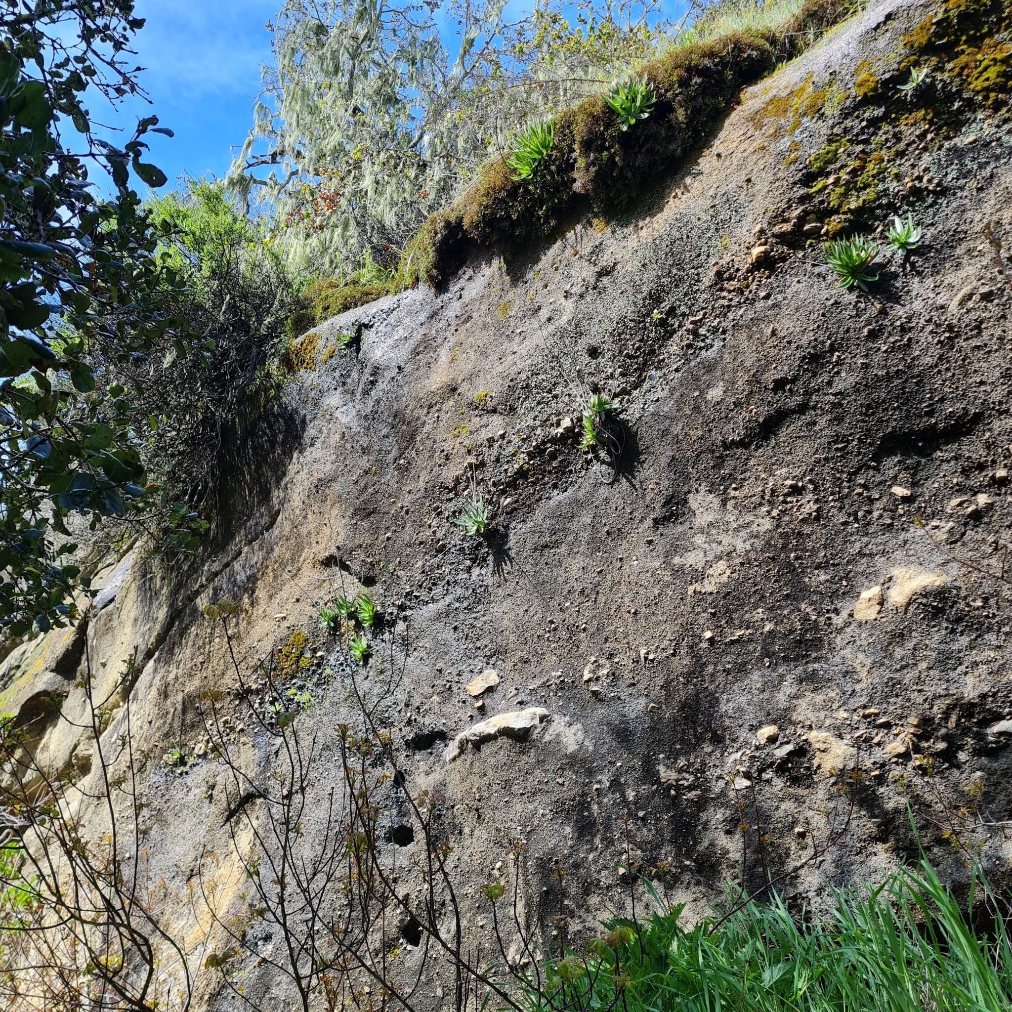
The Maple Canyon Trail is a great trail in Garland Ranch Regional Park. It is not a technical trail and winds through beautiful green forest.
0
0

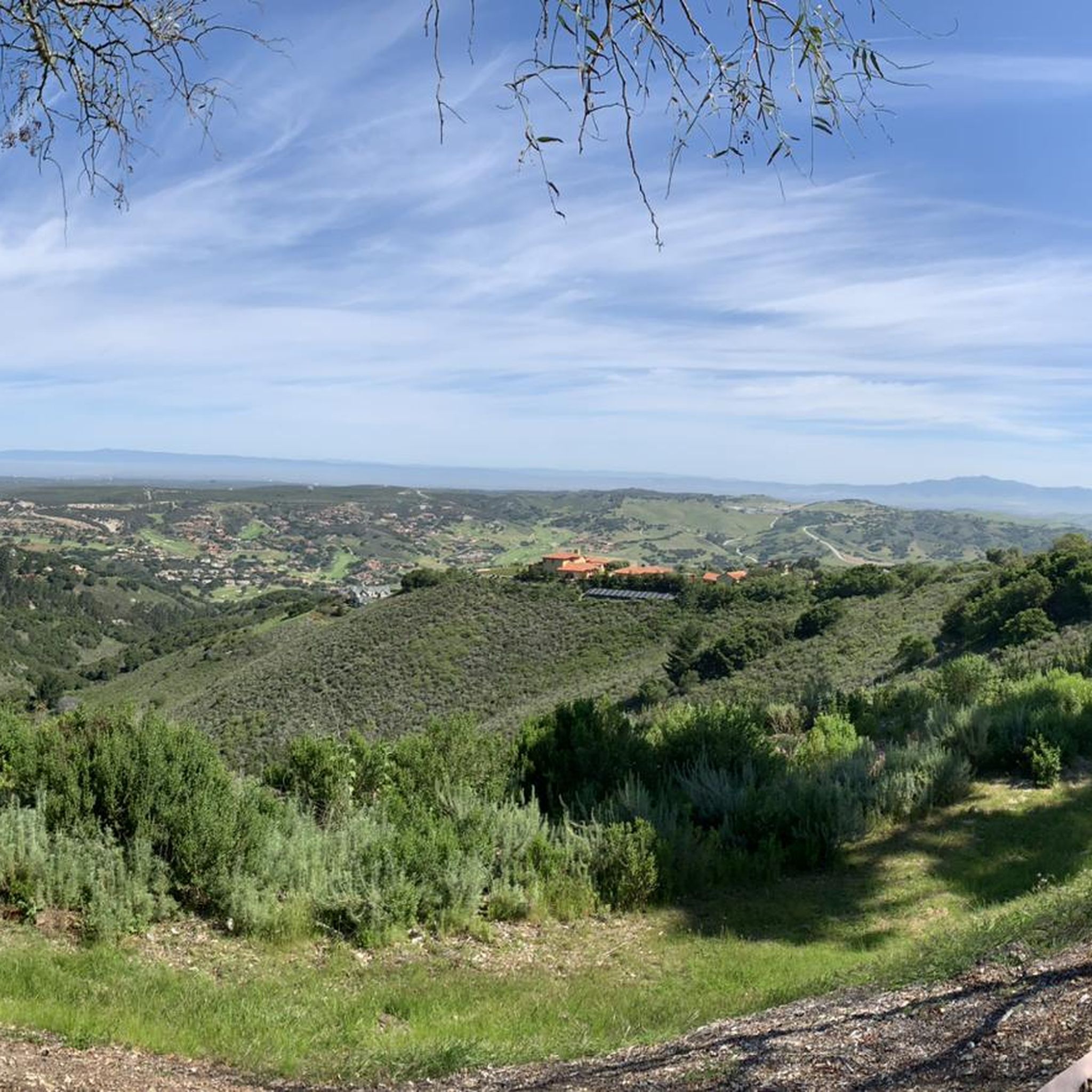
Snively's Ridge Trail is a challenging trail with over 1,950 feet in elevation gain. The trail offers views of the Monterey Peninsula and takes visitors to the highest point in Garland Ranch Regional Park, Vasquez Knob.
1
0

Visit the Rangers at the visitor's center, grab a park map, get advice for trails. The visitor's center displays a 3D relief park diorama map, which is great to plan a hike.
0
0
Frequently Asked Questions
How many running routes are available in Garland Ranch Regional Park?
Garland Ranch Regional Park offers a diverse network of trails, with over 10 dedicated running routes documented on komoot. These routes vary in difficulty, catering to different fitness levels.
Are there easy running routes suitable for beginners in Garland Ranch Regional Park?
Yes, the park features several easy running routes. A good option for beginners is the Running loop from Carmel Valley Rd / Garland Ranch, which is 2.5 miles (4.0 km) long and primarily leads through the valley with minimal elevation gain.
What are some challenging trails for advanced runners in Garland Ranch Regional Park?
For experienced runners seeking a challenge, routes with significant elevation gain are available. The Mesa Pond loop from Carmel Valley Rd / Garland Ranch is a difficult 7.3-mile (11.8 km) trail with over 600 meters of ascent. Another demanding option is the Peñon Peak – Inspiration Point loop from Carmel Valley Rd / Garland Ranch, offering similar elevation challenges over 11.3 km.
Are there any running routes with scenic viewpoints in Garland Ranch Regional Park?
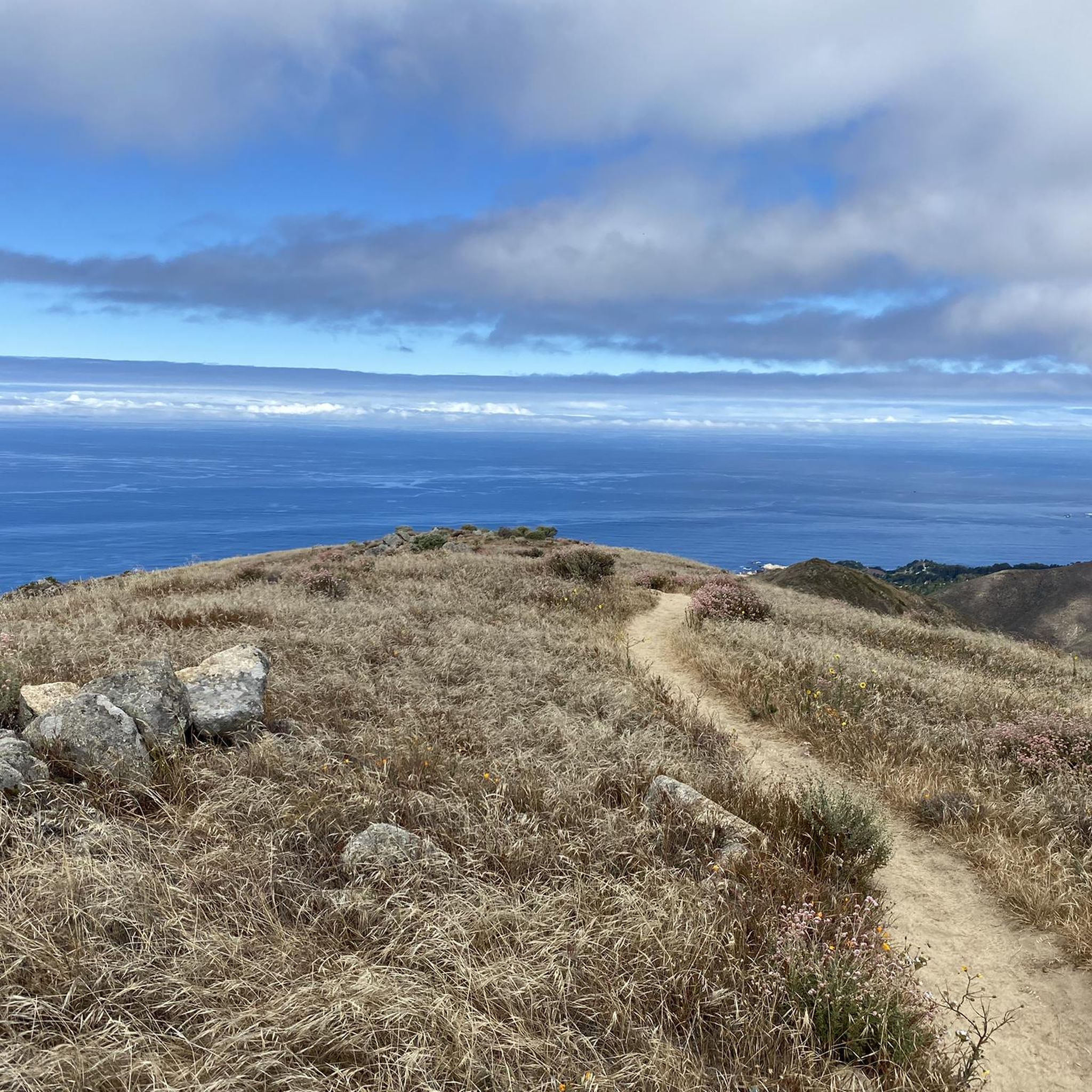
Absolutely. Many trails in Garland Ranch Regional Park lead to scenic overlooks. The Peñon Peak – Inspiration Point loop from Carmel Valley Rd / Garland Ranch, for instance, is known for its rewarding views from prominent points like Peñon Peak and Inspiration Point.
Can I bring my dog on the running trails in Garland Ranch Regional Park?
Garland Ranch Regional Park is generally dog-friendly, allowing leashed dogs on most trails. Always ensure your dog is on a leash and that you clean up after them to maintain the park's natural beauty for all visitors.
Are there family-friendly jogging options in Garland Ranch Regional Park?
Yes, families can enjoy the less strenuous valley paths. Routes like the Running loop from Carmel Valley Rd / Garland Ranch offer a relatively flat and shorter experience, suitable for families jogging together.
What kind of terrain can I expect while running in Garland Ranch Regional Park?
The park offers varied terrain, ranging from flat valley floors along the Carmel River to riparian areas and ascents to ridge tops. You'll encounter trails through different vegetation types, providing a diverse running experience.
What are some interesting natural features or landmarks to see while running?
While running, you might encounter various natural features. The park includes highlights like the Waterfall Trail and the Buckeye Trail. The Snively's Ridge Trail also offers distinct natural scenery.
Is there parking available for runners at Garland Ranch Regional Park?
Yes, parking is available at various access points to Garland Ranch Regional Park, including along Carmel Valley Road. Specific parking areas are typically indicated at trailheads to facilitate access for visitors.
What is the best time of year for jogging in Garland Ranch Regional Park?
Garland Ranch Regional Park is enjoyable year-round, but spring and fall offer particularly pleasant conditions with milder temperatures and vibrant scenery. Summers can be warm, so early morning or late afternoon runs are recommended, while winters are generally mild but can bring occasional rain.
Are there any long-distance running routes in the park?
For those looking for longer distances, the park has several options. The Snively's Ridge Trail – Maple Canyon Trail loop from Carmel River is a substantial route, covering over 14 kilometers with significant elevation changes, ideal for endurance training.
What do other runners say about jogging in Garland Ranch Regional Park?
The komoot community frequently praises the park's diverse landscape, offering everything from gentle valley runs to challenging climbs with rewarding views. Many appreciate the well-maintained trails and the opportunity to experience nature close to Carmel Valley.
Most popular routes in Garland Ranch Regional Park
Most popular attractions in Garland Ranch Regional Park

Get inspired with the komoot mobile app


Explore more
Browse the best Running Trails & Routes in other regions.
