The best road cycling routes in Garland Ranch Regional Park
284
riders
16
rides
If you've ever tried to plan road cycling in Garland Ranch Regional Park, you know the challenge: a sea of routes, and it's tough to tell which ones are genuinely worth your time and effort. You want the highlights, not the filler, and you definitely don't want to spend your precious riding hours guessing. That's where we come in. Our komoot community has ridden, mapped, and reviewed these routes, so we've curated a shortlist of the best road cycling in Garland Ranch Regional Park to save you the guesswork.
Road cycling around Garland Ranch Regional Park is all about embracing the diverse terrain of Monterey County. Expect a mix of scenic valley roads, rolling hills, and challenging climbs that lead to incredible viewpoints. While road cycling within the park's internal trails is highly restricted, its location in Carmel Valley makes it a fantastic base for exploring the wider region. You'll find routes that traverse open landscapes, some with tree cover, and many offering glimpses of the Pacific coastline.
If you're looking for a challenging day with significant elevation and coastal views, we'd start with the View of Laguna Seca Racetrack – Carmel Beach City Park loop from Carmel Valley. This difficult 40.5 miles (65.3 km) route offers a real workout and stunning scenery. For a slightly shorter, but still rewarding, climb, the Summit of Robinson Canyon loop from Carmel Valley Rd / Scarlett Road is a moderate 12.7 miles (20.5 km) option that delivers great views for its length. With more than 200 road cyclists having explored this varied terrain with komoot, you're in good company. Dive in and find your next favorite ride!
Last updated: June 5, 2026
22
riders
68.6km
03:49
1,040m
1,050m
Hard road ride. Very good fitness required. Some segments of this route may be unpaved and difficult to ride.
6
riders
20.5km
01:12
510m
510m
Moderate road ride. Good fitness required. Mostly well-paved surfaces and easy to ride.

Sign up for free
14
riders
54.3km
02:40
410m
410m
Moderate road ride. Good fitness required. Some segments of this route may be unpaved and difficult to ride.
10
riders
154km
07:08
1,910m
1,910m
The West Carmel River Valley Road – Arroyo Seco Elm St Bridge loop cycling route offers a demanding yet incredibly scenic journey through diverse landscapes. You'll start in the lush Carmel Valley, framed by the Santa Lucia Mountain range, then venture into areas where the valley walls steepen and the foliage becomes denser. Along Arroyo Seco Road, particularly during the climbs, you'll be treated to fantastic views of Big Sur and rugged rock formations around the Arroyo Seco River gorge, making the significant effort worthwhile. This route is a true test of endurance, blending pastoral beauty with wilder, more remote sections.
Planning for this extensive 95.8-mile (154.2 km) road cycling loop, which features 6260 feet (1908 metres) of elevation gain and takes around 7 hours and 7 minutes, requires careful preparation. Due to the length and potentially remote sections, carrying sufficient hydration is crucial as water sources are scarce. While parts of Arroyo Seco Road are closed to motor vehicles, enhancing the cycling experience, some segments may be unpaved and difficult, potentially requiring you to dismount and push your bike.
This difficult route is best suited for experienced road cyclists seeking a challenging adventure rather than family-friendly cycling in Carmel Valley. The terrain varies significantly, from good road surfaces to poor, and includes a particularly laborious hill about 10 miles into East Carmel Valley Road. The Arroyo Seco Elm St Bridge, a steel bridge about 12 miles west of Greenfield, serves as a key landmark on this loop, which also traverses diverse ecosystems including California oak woodland and riparian areas.
39
riders
Hard road ride. Very good fitness required. Mostly well-paved surfaces and easy to ride.
Get access to more routes and recommendations from other explorers.
Sign up for free
Already have an account?
Our route recommendations are based on thousands of hikes, rides, and runs completed by other people on komoot.
Start today with a free account
Your next adventure awaits.
Login or Signup

Tips from the Community

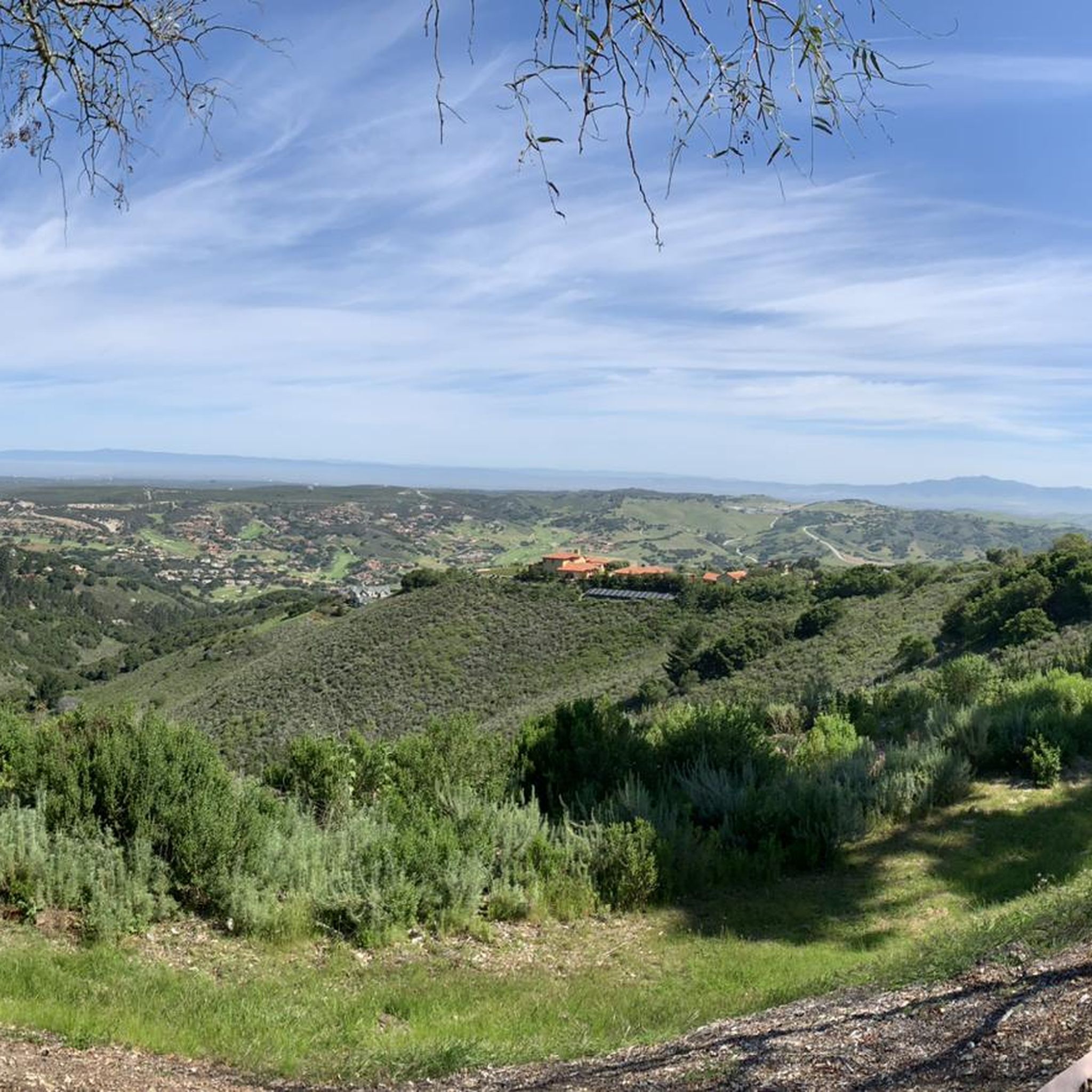
Carmel Valley Village is a picturesque, small, rural community nestled in the rolling hills of Monterey County close to the coast and Carmel-by-the-Sea. Known for its world-class wineries, art galleries, and upscale resorts, it is relaxed yet fancy, with stunning views in every direction. There are plenty of highly rated restaurants and cafes here, ideal if you want to treat yourself to lunch during a long ride.
0
0

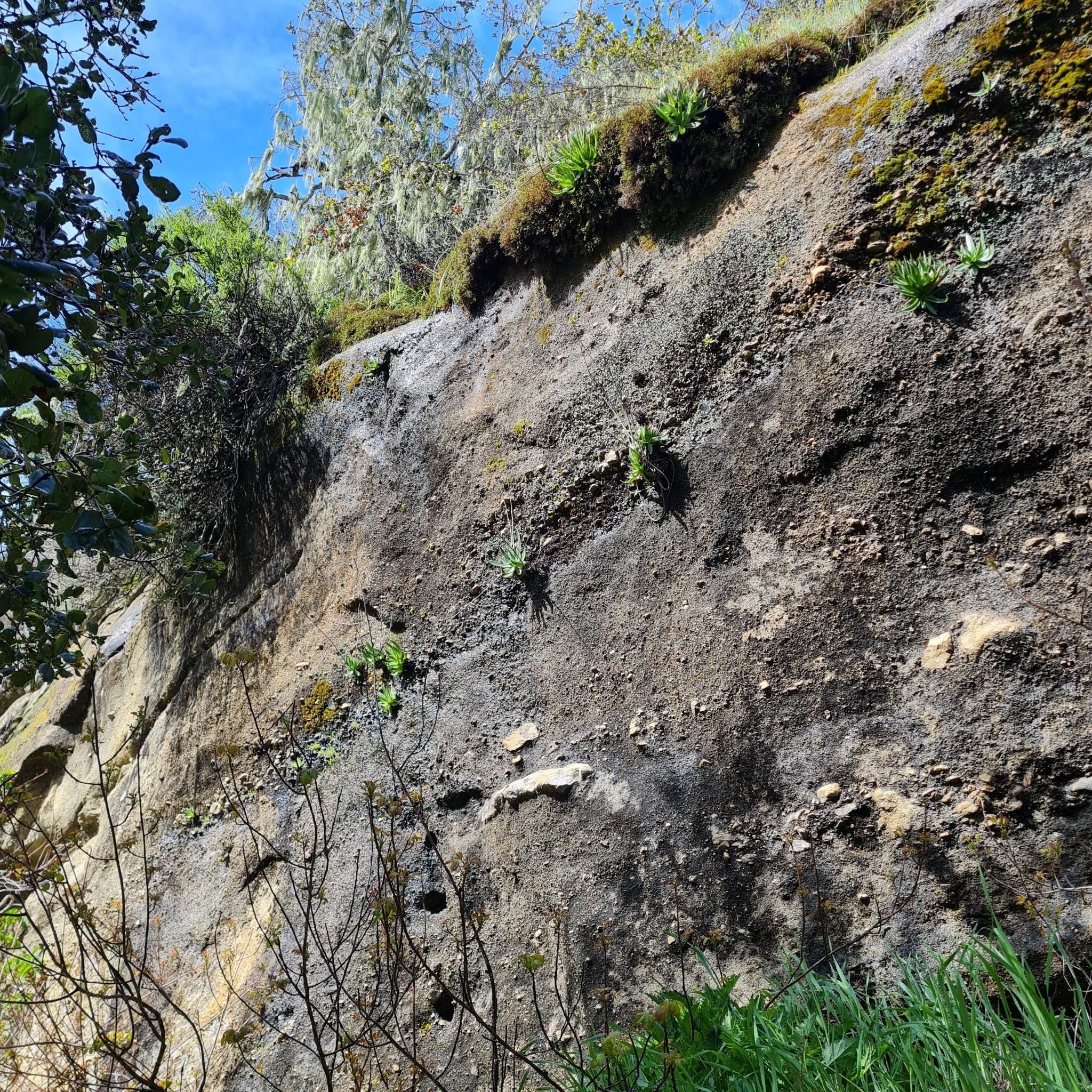
A classic Monterey County climb with sweeping switchbacks and big views over Carmel Valley. It’s a tough but rewarding ride—steady grades, little traffic, and a perfect spot to pause at the top and soak in the panorama before the fast descent.
0
0
Carmel Valley Village is a picturesque, small, rural community nestled in the rolling hills of Monterey County close to the coast and Carmel-by-the-Sea. Known for its world-class wineries, art galleries, and upscale resorts, it is relaxed yet fancy, with stunning views in every direction. There are plenty of highly rated restaurants and cafes here, ideal if you want to treat yourself to lunch during a long ride.
0
0

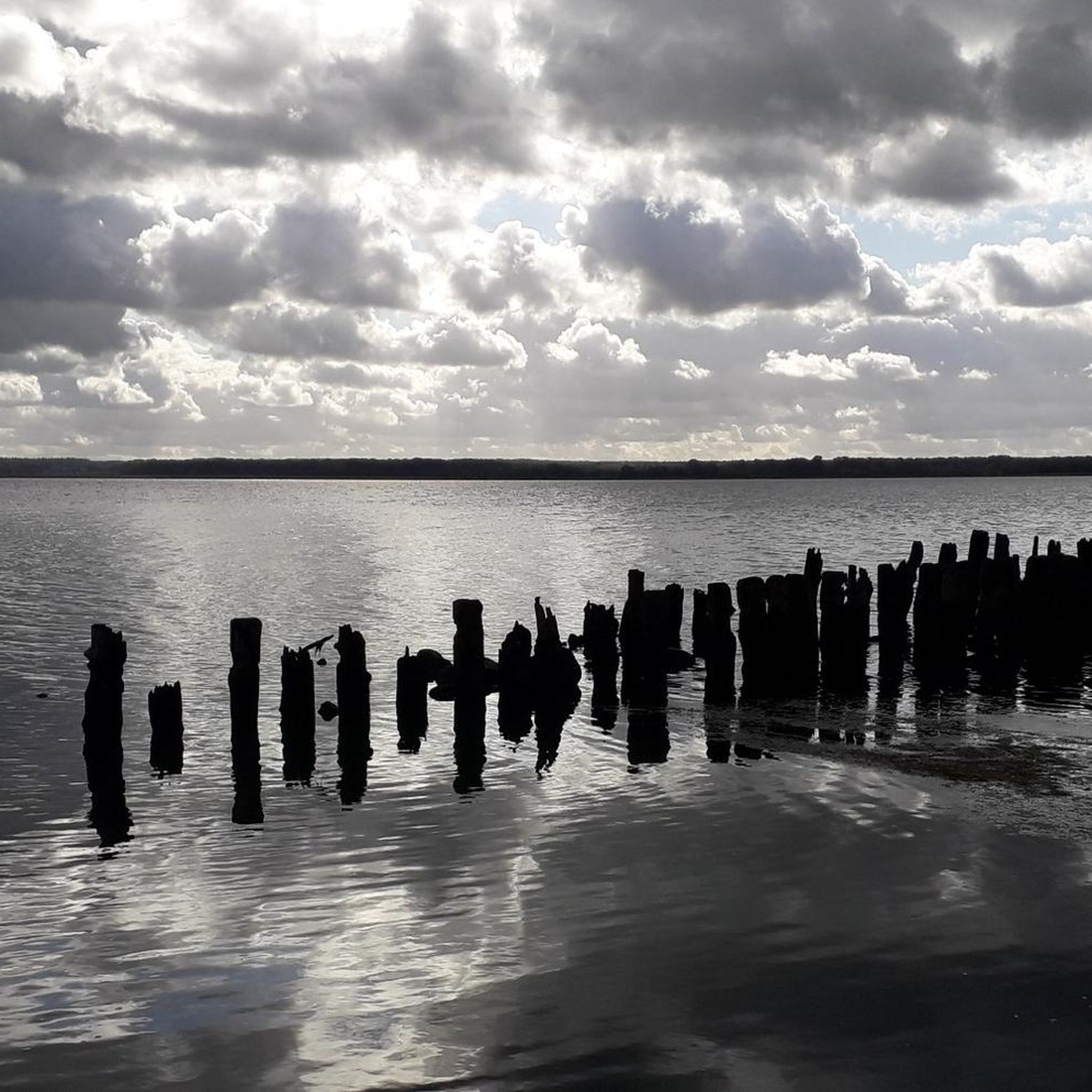
Very beautiful, spacious beach with a great view. The sea is a bit rough (September) and cold for swimming (15°C). But for walking, jogging, ... a dream
1
0

The Mission Trails Preserve is home to a few miles of trails on the 34-acre property. A lot of the paths are smooth and wide, making this a great spot for trail running whether you are new or seasoned to the sport.
0
0

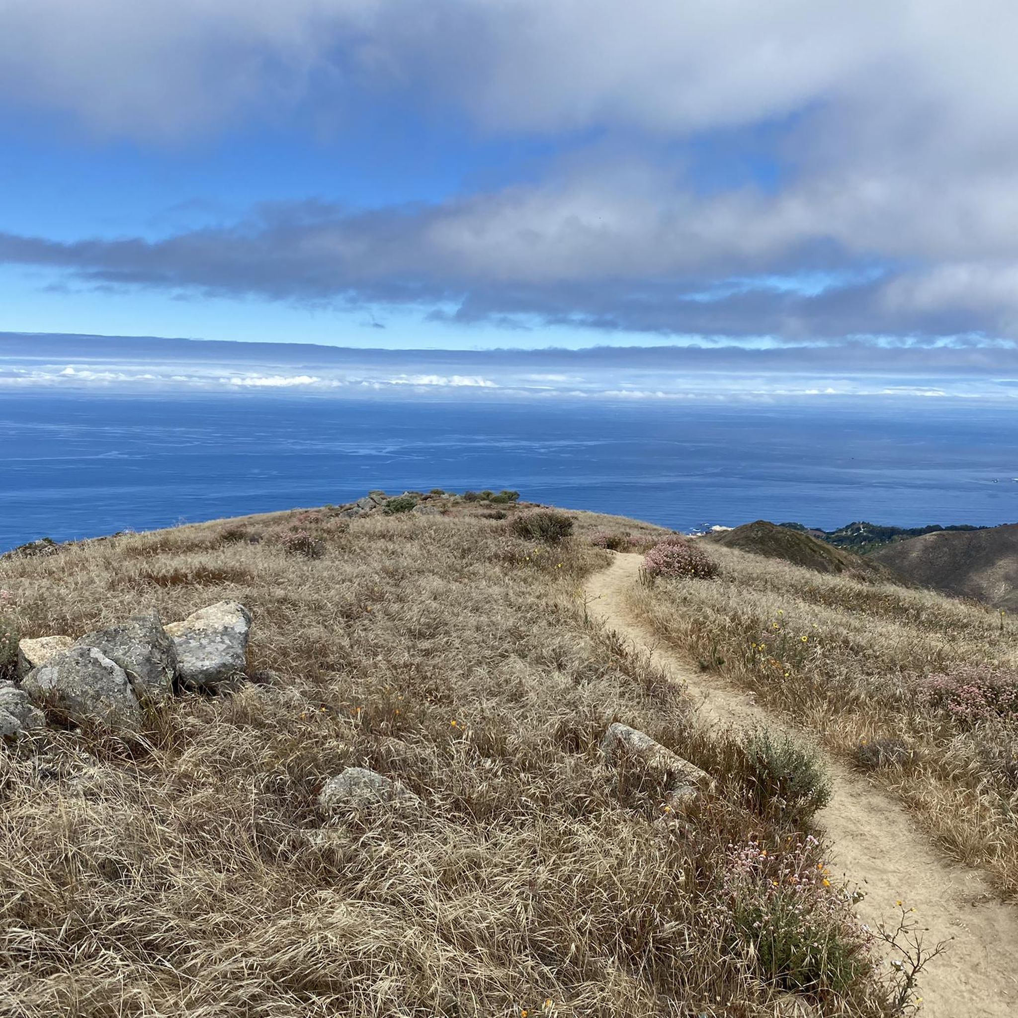
Public city park overlooking picturesque Carmel Beach. Surrounded by cypress and pine trees, the park is also a great place to let your dog run around free if you have a running companion.
0
0

This beach is a tranquil and less frequented spot compared to others in the area. The sand is pristine, offering a serene atmosphere, and the ocean views are truly stunning. The water is known for its exceptional clarity, making it one of the clearest in the area.
0
0

Moto Talbott museum in Carmel Valley features more than 170 iconic motorcycles from 17 countries, and is located on one of Northern California’s most beautiful cycle roads. Open Saturday/Sundays https://www.mototalbott.com
0
0
Frequently Asked Questions
How challenging are the road cycling routes in Garland Ranch Regional Park?
The road cycling routes in Garland Ranch Regional Park are primarily categorized as moderate to difficult. There are 9 moderate routes and 9 difficult routes available, offering varied elevation profiles with ascents leading to scenic viewpoints. Cyclists can expect challenging climbs and diverse terrain.
Are there road cycling routes suitable for beginners in Garland Ranch Regional Park?
While there are no routes specifically classified as 'easy' for road cycling in Garland Ranch Regional Park, there are 9 routes rated as moderate. These might be suitable for beginners with some cycling experience, but be prepared for rolling hills and some elevation gain characteristic of the region.
What are some advanced road cycling routes for experienced riders?
Experienced riders looking for a challenge will find 9 difficult routes in the park. Notable options include the Monterey Bay Coastal Trail – Lone Cypress Viewpoint loop from Carmel Valley, which covers 81.1 miles with significant elevation gain, and the Carmel Valley Village – Arroyo Seco loop from Carmel Valley, a 67.8-mile route featuring substantial climbs.
Are there long-distance road cycling loops available?
Yes, Garland Ranch Regional Park offers several long-distance road cycling loops. The longest route is the Monterey Bay Coastal Trail – Lone Cypress Viewpoint loop from Carmel Valley, spanning 81.1 miles (130.5 km). Another significant loop is the Carmel Valley Village – Arroyo Seco loop from Carmel Valley, which is 67.8 miles (109.2 km) long.
Where can I park when road cycling in Garland Ranch Regional Park?
Garland Ranch Regional Park offers designated parking areas for visitors. It's advisable to check the official park website or signage upon arrival for the most current information on parking locations and any potential fees, especially for specific trailheads or access points.
Are the road cycling routes in Garland Ranch Regional Park suitable for families?
Given that all road cycling routes in Garland Ranch Regional Park are rated moderate to difficult, they may not be ideal for young children or families seeking very easy, flat rides. However, families with older, experienced teenage cyclists might find the moderate routes enjoyable.
When is the best time of year for road cycling in Garland Ranch Regional Park?
The Monterey County region, including Garland Ranch Regional Park, generally offers pleasant cycling conditions year-round due to its mild coastal climate. Spring and fall often provide the most comfortable temperatures and clear skies. Summer can be warm, especially inland, while winter brings cooler temperatures and a higher chance of rain.
What scenic viewpoints can I expect on the road cycling routes?
Road cycling routes in Garland Ranch Regional Park and its surroundings offer numerous scenic viewpoints. You can expect views of the Pacific coastline, rolling hills, and valleys. Routes like the Monterey Bay Coastal Trail – Lone Cypress Viewpoint loop from Carmel Valley specifically highlight coastal vistas, while others may offer glimpses of the Laguna Seca Racetrack.
What can I see along the road cycling routes in Garland Ranch Regional Park?
Beyond the natural beauty of the valleys and hills, you can explore various points of interest. Consider visiting the Waterfall Trail or the Buckeye Trail within the park. The routes also traverse areas like Carmel Valley Road, offering a mix of natural and local sights.
What do other road cyclists enjoy the most about road cycling in Garland Ranch Regional Park?
Road cyclists frequently praise the diverse terrain, from challenging climbs in the valleys to scenic coastal views. The variety of routes, including those leading to the Monterey Bay Coastal Trail or offering views of the Laguna Seca Racetrack, are often highlighted as key attractions. The region's natural beauty and the well-maintained roads suitable for cycling are also highly valued.
Are there any specific attractions or landmarks near the road cycling routes?
Yes, beyond the park itself, you can find several points of interest. The Garland Ranch Regional Park offers natural beauty, and routes often pass through or near Carmel Valley Road, which is a scenic area. Some routes also provide views of the Laguna Seca Racetrack.
How many road cycling routes are available in Garland Ranch Regional Park?
There are 18 road cycling routes available in Garland Ranch Regional Park and its immediate surroundings. These routes offer a range of experiences, with 9 categorized as moderate and 9 as difficult, catering to various skill levels.
Most popular routes in Garland Ranch Regional Park
Most popular attractions in Garland Ranch Regional Park

Get inspired with the komoot mobile app


Explore more
Browse the best Road cycling routes in other regions.
