The best MTB trails in Garland Ranch Regional Park
5.0
(5)
153
riders
4
rides
Garland Ranch Regional Park mountain bike trails traverse a diverse landscape in Carmel Valley, California, offering varied terrain for riders. The park features elevations ranging from 200 to 2,000 feet, providing both moderate and challenging routes. Riders can explore willow-covered riverbanks, dense oak woodlands, and open oak savannas. The trail network includes paths along the Carmel River and Garzas Creek, leading to vistas atop the Santa Lucia Mountains.
Best mountain bike trails in Garland Ranch Regional Park
- The most popular…
Last updated: June 27, 2026
5.0
(2)
89
riders
Hard mountain bike ride. Very good fitness required. Advanced riding skills necessary. Some portions of the route may require you to push your bike.
5.0
(1)
41
riders
23.8km
02:17
560m
560m
Moderate mountain bike ride. Good fitness required. Suitable for all skill levels.

Sign up for free
14
riders
23.7km
02:02
550m
550m
Moderate mountain bike ride. Good fitness required. Suitable for all skill levels.
5.0
(1)
7
riders
36.2km
02:59
760m
760m
Hard mountain bike ride. Good fitness required. Advanced riding skills necessary. Some portions of the route may require you to push your bike.
5.0
(1)
2
riders
51.7km
03:24
830m
830m
Moderate mountain bike ride. Good fitness required. Suitable for all skill levels.
Our route recommendations are based on thousands of hikes, rides, and runs completed by other people on komoot.
Start today with a free account
Your next adventure awaits.
Login or Signup
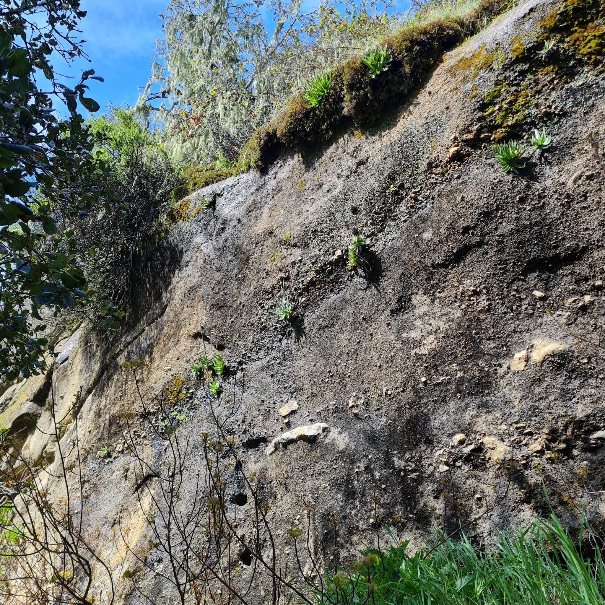
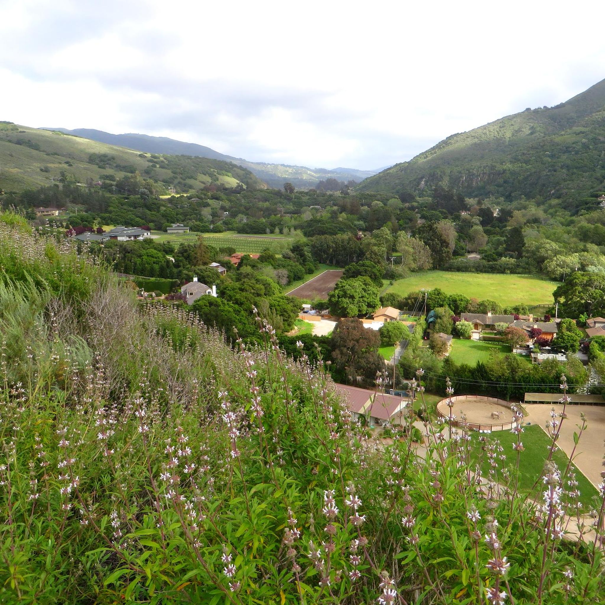
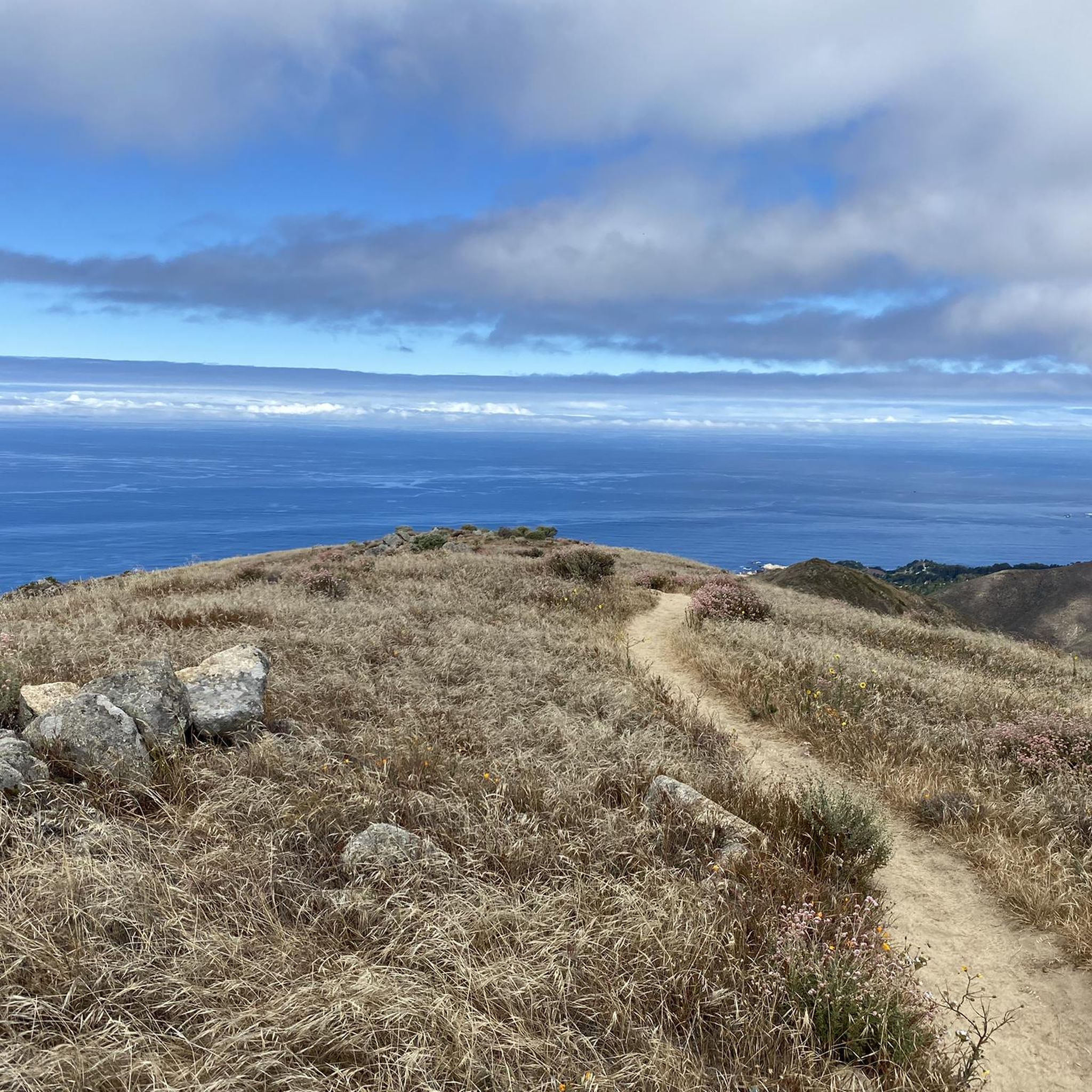

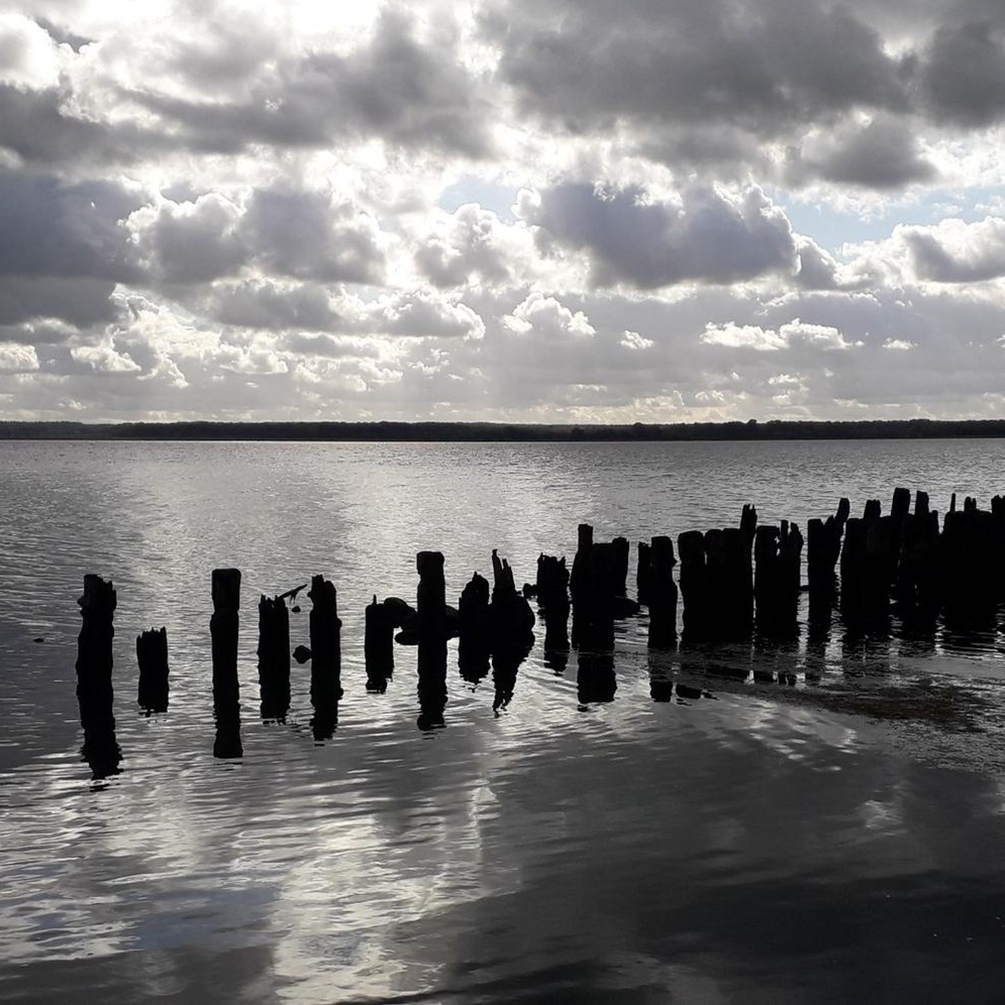
Tips from the Community

Mudhen Lake is a nice spot to pause and take in the rural scenery. The calm lake views make a pleasant break for stretching, refilling bottles, and enjoying a moment of stillness before rolling on.
0
0
A handy base for exploring Monterey’s rolling roads. The campground is a perfect place to spend the night if you want open views and easy access to tough climbs like Laureles Grade. It’s better to start riding early here to beat the heat and enjoy the empty roads.
0
0
A classic Monterey County climb with sweeping switchbacks and big views over Carmel Valley. It’s a tough but rewarding ride—steady grades, little traffic, and a perfect spot to pause at the top and soak in the panorama before the fast descent.
0
0

Nice, small lake in Laguna Seca Recreational Area. It is right along Trail 71, so it is a great place for a quick break to enjoy the peaceful setting.
0
0

This is the southern section of Trail 49; the northern section starts on the other side of Lookout Ridge Road. If you ride this trail north to south, it's a mix of challenging, twisty sections with lots of tight turns, and your classic flowing singletrack. Watch out for poison oak!
0
0


At the top of Elliot Hill, you can see expansive views of the surrounding areas. It is also a junction for Little Moab Road and Trail 95.
0
0

Mudhen Lake in Laguna Seca Recreational Area beckons with its scenic allure, creating an ideal haven for biking enthusiasts. Immerse yourself in the breathtaking views of the tranquil lake.
0
0
Frequently Asked Questions
How many mountain bike trails are available in Garland Ranch Regional Park?
Garland Ranch Regional Park offers a network of 4 mountain bike trails, catering to various skill levels. These routes provide diverse terrain and scenic views across the park.
What are the general difficulty levels of mountain bike trails in Garland Ranch Regional Park?
The park features a mix of trails. There are 3 moderate routes and 1 difficult route, ensuring options for both intermediate and experienced mountain bikers.
What kind of landscapes can I expect to see while mountain biking in Garland Ranch Regional Park?
You'll encounter a rich variety of landscapes, including willow-covered banks along the Carmel River, dense oak woodlands, and open oak savannas. As you gain elevation, you'll also find spectacular vistas atop the northern crest of the Santa Lucia Mountains.
Are there any challenging mountain bike trails for experienced riders?
Yes, for experienced riders seeking a challenge, consider the Mudhen Lake – Fort Ord ⛰️🚵 MTB trailhead loop from WeatherTech Raceway Laguna Seca. This difficult 29.7-mile trail features significant elevation gains and technical sections.
Can I find moderate mountain bike trails suitable for intermediate riders?
Absolutely. A popular moderate option is the Trail 49 loop from WeatherTech Raceway Laguna Seca, which is 14.8 miles long and winds through diverse ecosystems with panoramic views. Another great choice is the Ollason Peak – Ollason Trail loop from Highway 68 / Lower Ranch (Parkg), a 35.9-mile moderate route.
Is parking available for mountain bikers at Garland Ranch Regional Park?
Yes, parking is available. For example, the Ollason Peak – Ollason Trail loop starts from Highway 68 / Lower Ranch (Parkg), indicating designated parking areas within or near the park.
Are permits required for mountain biking in Garland Ranch Regional Park?
No, Garland Ranch Regional Park is generally open to the public without an access permit for most areas, making it easily accessible for mountain bikers.
Is Garland Ranch Regional Park suitable for family mountain biking?
The park offers trails suitable for various skill levels, including moderate routes. While specific 'family-friendly' designations aren't provided, the diverse terrain means you can likely find sections or shorter loops that are less challenging, especially in areas with lower elevation gains.
Are dogs allowed on the mountain bike trails in Garland Ranch Regional Park?
Yes, Garland Ranch Regional Park is dog-friendly, with many off-leash areas available. You can enjoy mountain biking with your canine companion, and water fountains are designed for both hikers and their pets.
What natural features or points of interest can I see along the mountain bike trails?
The park is rich in natural beauty. You can explore the willow-covered banks of the Carmel River and Garzas Creek, which gently bisects the park. There's also a secluded side canyon of redwoods and a charming, seasonal waterfall. Many trails, particularly at higher elevations like the Snively's Ridge Trail, offer breathtaking views of Carmel Valley and the Ventana Wilderness. You can find the Waterfall Trail and Snively's Ridge Trail as highlights.
What do other mountain bikers enjoy the most about mountain biking in Garland Ranch Regional Park?
The area is highly rated by the komoot community, with an average score of 5.0 stars from over 3 reviews. Mountain bikers often praise the diverse terrain, from riverbanks to oak woodlands, and the panoramic views from higher elevations.
When is the best time of year to go mountain biking in Garland Ranch Regional Park?
Garland Ranch Regional Park offers varied terrain that can be enjoyed throughout much of the year. However, for the most comfortable riding conditions, spring and fall generally provide milder temperatures. During summer, it's advisable to ride earlier in the day to avoid the heat, and some trails might have seasonal conditions to consider.
Most popular routes in Garland Ranch Regional Park
Most popular attractions in Garland Ranch Regional Park

Get inspired with the komoot mobile app


Explore more
Browse the best MTB trails in other regions.
