The best MTB trails in Garin Regional Park
4.7
(57)
268
riders
13
rides
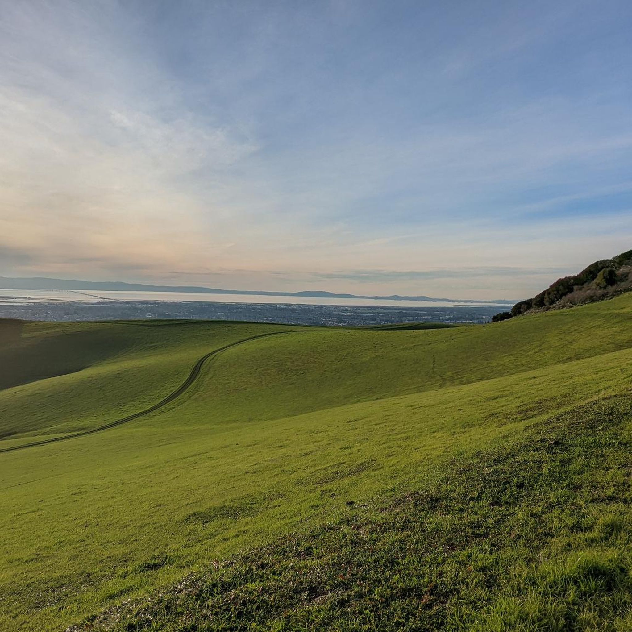
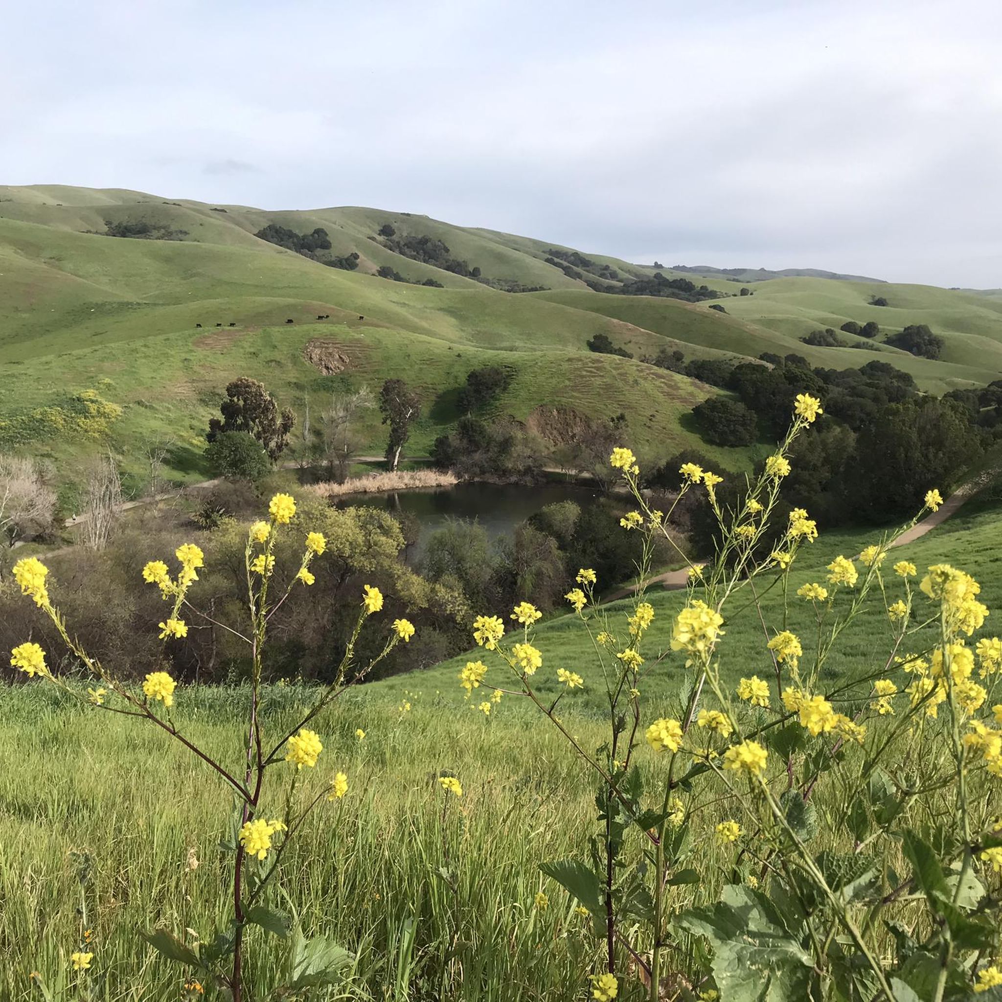
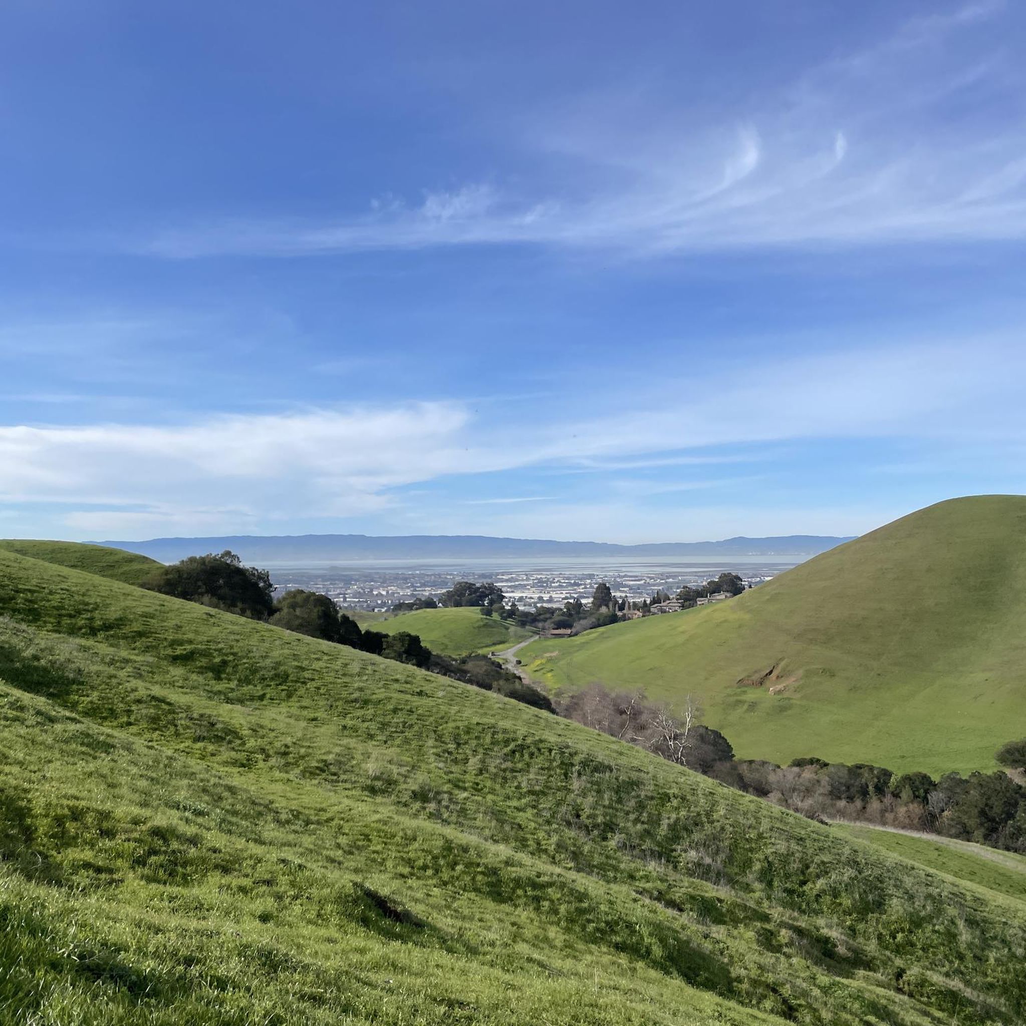
Mountain biking in Garin Regional Park offers a diverse landscape characterized by rolling hills, open grasslands, and oak woodlands. The park's terrain provides a range of experiences for mountain bikers, from gentle ascents to more challenging climbs. Trails often traverse varied surfaces, including dirt paths and fire roads, suitable for different skill levels.
Best mountain bike trails in Garin Regional Park
- The most popular mountain bike trail is Mountainbike loop from Fairview, a 21.6 miles (34.8 km) moderate trail…
Last updated: August 31, 2026
5.0
(4)
13
riders
32.4km
02:54
690m
690m
Moderate mountain bike ride. Good fitness required. Advanced riding skills necessary.
7
riders
42.3km
03:30
810m
810m
Moderate mountain bike ride. Good fitness required. Advanced riding skills necessary.

Sign up for free
4.9
(14)
43
riders
34.9km
03:07
700m
700m
Moderate mountain bike ride. Good fitness required. Advanced riding skills necessary.
3.0
(1)
24
riders
52.4km
05:25
1,300m
1,300m
Hard mountain bike ride. Very good fitness required. Advanced riding skills necessary. Some portions of the route may require you to push your bike.
5
riders
13.1km
00:53
90m
90m
This easy 8.1-mile mountain biking loop in Coyote Hills Regional Park offers bay-side views, wildlife, and wildflowers.
Get access to more routes and recommendations from other explorers.
Sign up for free
Already have an account?
Our route recommendations are based on thousands of hikes, rides, and runs completed by other people on komoot.
Start today with a free account
Your next adventure awaits.
Login or Signup

Other adventures in Garin Regional Park

Tips from the Community

Your ride up the MacDonald Trail earns you some great views of the forested hills all around you. There's also a bench if you want to hop off the bike and relax for a minute.
0
0

The perfect spot for a break! No shade here, but there is a bench, an informational panel, and a wooden observation deck. The views over the marshland here and the bay are pretty amazing.
0
0

Meadowlark Trail alternates between concrete and dirt sections. No matter the surface, the trail is winding, smooth and highly enjoyable on two wheels.
0
0
After a short climb from the Red Hill Trailhead, enjoy a beautiful view of the surrounding area and the bay. From here, you can backtrack to continue onto the Red Hill Trail, or continue along the shore of the bay on Bayview Trail.
1
1

Set back slightly from the trail, this bench provides views into the redwoods at all times of the day. A welcome rest stop for folks heading up the East Ridge.
0
0

The East Ridge Overlook offers wonderful panoramic views of the Reinhardt-Redwood Regional Park.
0
0

Great view of San Leandro Creek from the East Shore Trail. You can see the water from the trail, so it's a great place to take a break and enjoy the view.
0
0
Bay Trees Community Park, part of the Cull Creek Trails, has restrooms, a picnic area, and water fountains, making it a great spot for a break. There are big old trees here, hence the name, that create lots of shade. It is nice to be at this 11-acre park on a sunny, hot day.
0
0
Frequently Asked Questions
What are the difficulty levels of mountain bike trails in Garin Regional Park?
Garin Regional Park offers a range of mountain bike trails suitable for various skill levels. There are 3 easy routes, 9 moderate routes, and 1 difficult route, ensuring options for beginners to more experienced riders.
What is the typical length of mountain bike trails in Garin Regional Park?
The mountain bike trails in Garin Regional Park vary in length. For example, the Bayview and Meadowlark Trail Loop is about 8.1 miles (13 km), while longer routes like the Earl Warren Park – Cull Canyon - Bay Trees Park loop from Fairview extend to 26.2 miles (42.1 km).
Is there parking available for mountain biking in Garin Regional Park?
Yes, Garin Regional Park typically provides designated parking areas for visitors, including those coming for mountain biking. It's always a good idea to check the park's official website for specific parking locations and any potential fees or restrictions before your visit.
Are permits required for mountain biking in Garin Regional Park?
Generally, permits are not required for mountain biking on established trails within Garin Regional Park. However, it's advisable to check the East Bay Regional Park District's official guidelines for any updates or specific regulations that might apply.
Are there mountain bike trails suitable for beginners in Garin Regional Park?
Yes, Garin Regional Park has 3 easy mountain bike routes. A good option for beginners is the Bayview and Meadowlark Trail Loop, which is 8.1 miles (13 km) long with minimal elevation gain, offering a gentle introduction to the park's terrain.
What is the best time of year for mountain biking in Garin Regional Park?
The best time for mountain biking in Garin Regional Park is typically during the spring and fall months. The weather is milder, and the trails are less dusty than in summer. Winter can also be pleasant, but some trails may be muddy after heavy rains.
Are there any loop trails for mountain biking in Garin Regional Park?
Yes, many of the mountain bike routes in Garin Regional Park are designed as loops. For example, the Mountainbike loop from Fairview is a popular 21.6-mile (34.8 km) moderate loop that offers varied terrain and scenic overlooks.
What do other mountain bikers enjoy the most about Garin Regional Park?
The area is highly rated by the komoot community, with an average score of 4.6 stars from over 60 reviews. Reviewers often praise the diverse landscape, including rolling hills, open grasslands, and oak woodlands, as well as the variety of trails suitable for different skill levels.
Are there any advanced mountain biking trails in Garin Regional Park?
While most trails are moderate, Garin Regional Park does offer 1 difficult route for those seeking a more challenging ride. These trails typically feature steeper climbs, technical descents, and more rugged terrain.
What kind of views can I expect on mountain bike trails in Garin Regional Park?
Mountain bike trails in Garin Regional Park often provide scenic views of the surrounding East Bay hills, open grasslands, and oak woodlands. Some routes, like the MacDonald Trail Viewpoint – Lake Chabot Marina loop from Castro Valley, offer glimpses towards Lake Chabot.
Are there family-friendly mountain bike trails in Garin Regional Park?
Yes, the park has 3 easy routes that are well-suited for families or those looking for a less strenuous ride. These trails typically have gentler gradients and smoother surfaces, making them enjoyable for a wider range of ages and abilities.
How many mountain bike trails are there in Garin Regional Park?
Garin Regional Park features a total of 13 mountain bike trails, offering a good selection for different preferences and skill levels.
Most popular routes in Garin Regional Park

Get inspired with the komoot mobile app


Explore more
Browse the best MTB trails in other regions.
