The best cycling routes in The Forest Of Nisene Marks State Park
4.1
(12)
330
riders
67
rides
Touring cycling in The Forest Of Nisene Marks State Park offers diverse terrain within its 10,000 acres, ranging from near sea level to coastal mountains over 2,600 feet. The park is characterized by dense second- and third-growth redwood forests, providing varied cycling experiences. Aptos Creek flows through the park, and the landscape includes significant elevation changes suitable for different fitness levels. The area is also notable for its geological features, including the epicenter of the 1989 Loma Prieta earthquake.
Best…
Last updated: July 8, 2026
7
riders
34.4km
02:05
300m
300m
Moderate bike ride. Good fitness required. Mostly paved surfaces. Suitable for all skill levels.
29
riders
50.5km
04:32
1,070m
1,070m
Challenge yourself on the 31.4-mile Aptos Creek and Buzzard Lagoon Loop, a difficult touring cycling route through redwoods and orchards.

Sign up for free
4
riders
20.0km
01:19
290m
290m
Moderate bike ride. Good fitness required. Mostly paved surfaces. Suitable for all skill levels.
4.7
(3)
76
riders
Moderate bike ride. Good fitness required. Mostly paved surfaces. Suitable for all skill levels.
6
riders
31.3km
02:02
430m
430m
Moderate bike ride. Good fitness required. Mostly paved surfaces. Suitable for all skill levels.
Get access to more routes and recommendations from other explorers.
Sign up for free
Already have an account?
Our route recommendations are based on thousands of hikes, rides, and runs completed by other people on komoot.
Start today with a free account
Your next adventure awaits.
Login or Signup
Popular around The Forest Of Nisene Marks State Park

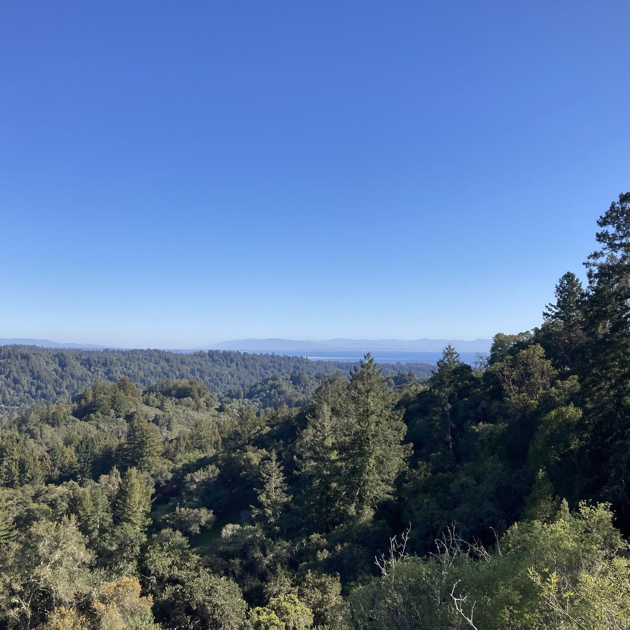
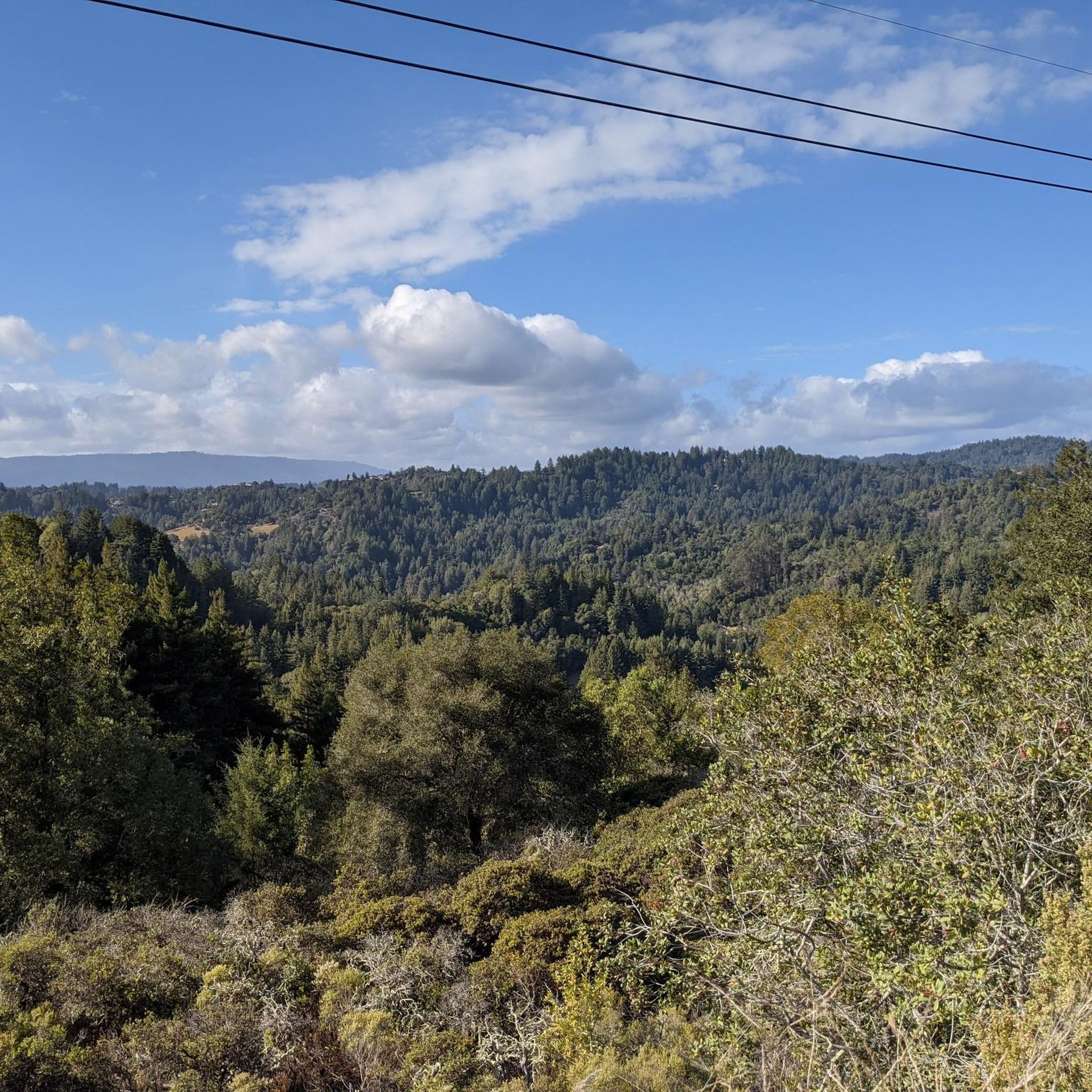
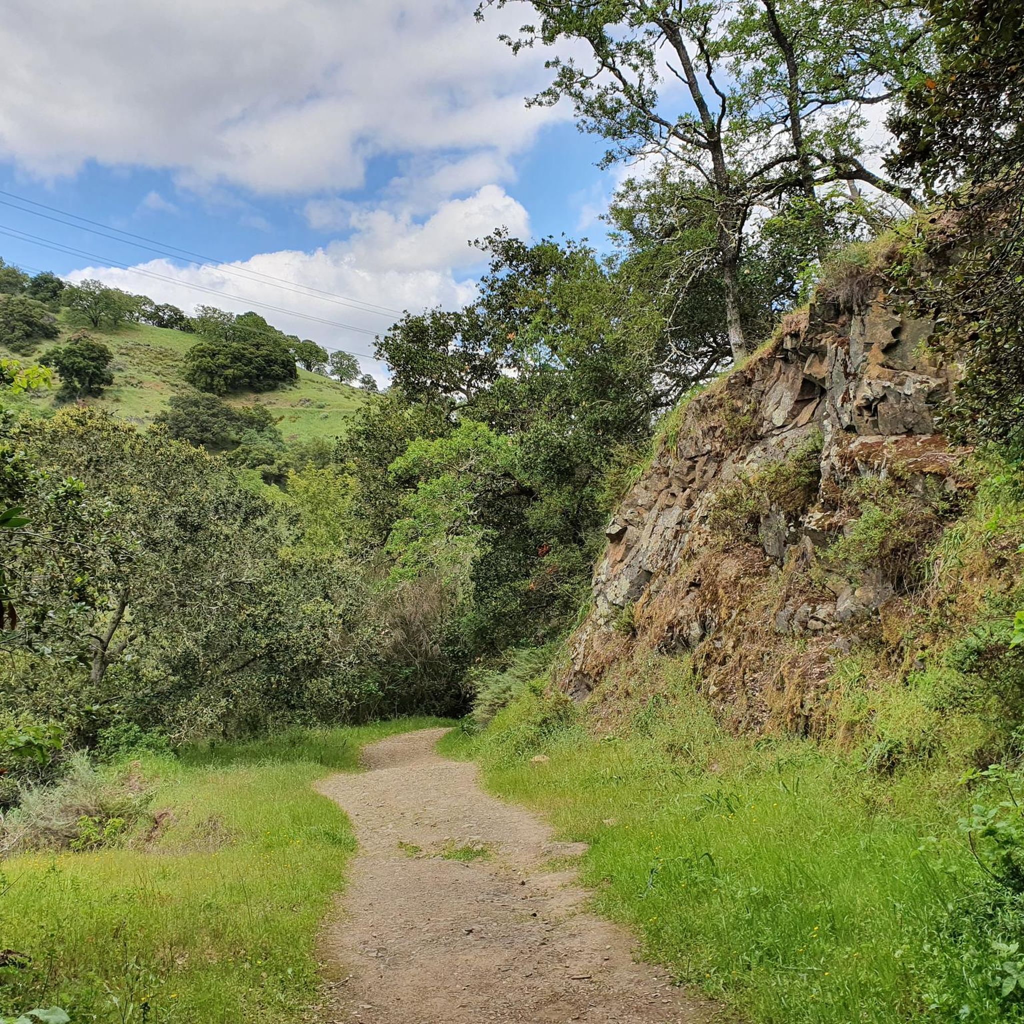


Other adventures in The Forest Of Nisene Marks State Park

Tips from the Community

Stunning Natural Bridge Beach is known for its natural arches made of fine clay or mud rock, carved by time, water, and wind. The beach is also known for being home to a colony of monarch butterflies, with over 150,000 coming to live here for the winter. If you're lucky, you might even spot whales!
0
0

For cyclists exploring Santa Cruz, Pleasure Point Beach on 38th Avenue beckons with its beauty and recreational opportunities. Ideal for swimming, sunbathing, and surfing, the beach offers a picturesque setting. It is accessible via a brief walk from the road.
0
0

Sunset State Beach is a large park surrounded by fertile farmland. The beach stretches 3 miles down to the mouth of the Pajaro River. The park offers a wooded campground, picnic areas, and 200-foot-high dunes.
0
0
The Pajaro River stretches for 30 miles from the Diablo Range to where it empties into Monterey Bay. Additionally, the river forms the border between Monterey County and Santa Cruz County.
0
0
Pleasure Point Beach is a popular surf spot and is part of Pleasure Point Park. The park also features restrooms, picnic tables, and offers great views.
0
0
Schwan Lake is part of Twin Lakes State Park and was originally known as Schwan Lagoon when it connected to the ocean. Harbor construction restricted the flow of water from the ocean, transforming it into a freshwater lake.
0
0
La Selva Beach is a small community north of Watsonville. It is mostly known as home to Manresa State Beach, but it also has a post office, corner store, fire department, library, and a few shops.
0
0
Manresa State Beach is known for its sweeping views of bluff-backed sand and sea. Visitors can enjoy surfing, boogie boarding, flying kites, walking the beach, or sunbathing.
0
0
Frequently Asked Questions
How many touring cycling routes are available in The Forest Of Nisene Marks State Park?
The Forest Of Nisene Marks State Park offers a wide selection of touring cycling routes, with over 60 options available on komoot. These routes cater to various skill levels, including 19 easy, 28 moderate, and 18 difficult trails.
What kind of terrain can I expect when touring cycling in The Forest Of Nisene Marks State Park?
You can expect diverse terrain ranging from near sea level to coastal mountains over 2,600 feet. The park is dominated by dense second- and third-growth redwood forests. While some routes are mostly paved, others feature unpaved segments, steep sections, and switchbacks, offering experiences from gradual climbs to strenuous workouts. The Aptos Creek and Buzzard Lagoon Loop, for example, features significant elevation gain through redwood forests.
What do other touring cyclists enjoy most about the routes in The Forest Of Nisene Marks State Park?
The routes in The Forest Of Nisene Marks State Park are highly rated by the komoot community, with an average score of 4.2 stars from over 20 reviews. Cyclists often praise the lush redwood forests, varied coastal mountain terrain, and the presence of Aptos Creek, which provides a serene backdrop to many trails. The park's rugged, semi-wilderness feel also allows for an immersive experience.
Are there any family-friendly touring cycling routes in The Forest Of Nisene Marks State Park?
Yes, there are several family-friendly options, particularly those with mostly paved or less challenging unpaved sections. The park offers 19 easy routes suitable for families. While specific routes are not detailed as 'family-friendly' in the data, generally, routes with lower elevation gain and smoother surfaces are best. Always check the route details for specific terrain and difficulty before heading out with children.
Can I bring my dog on the touring cycling routes?
While the park is generally dog-friendly for hiking on leash, specific regulations for dogs on cycling trails can vary. It's always best to check the official California State Parks website for the most current rules regarding dogs on bike trails within The Forest Of Nisene Marks State Park to ensure compliance and a pleasant experience for everyone. You can find more information at parks.ca.gov.
What natural features and landmarks can I see along the touring cycling routes?
The park is rich in natural beauty and points of interest. You'll cycle through magnificent redwood forests, including both second- and third-growth trees. Notable features include the Tillman Grove. Aptos Creek flows through the park, and you might even find fossilized seashells in its creekbeds. For panoramic views, the Sand Point Overlook offers vistas of Monterey Bay and the Santa Cruz Mountains. The park also contains the epicenter of the 1989 Loma Prieta earthquake, a significant geological attraction.
Are there any waterfalls in The Forest Of Nisene Marks State Park?
Yes, The Forest Of Nisene Marks State Park features waterfalls. Maple Falls on the Bridge Creek Trail and Five Finger Falls on the Aptos Creek Trail are notable examples. While these are typically reached via more challenging hikes, their presence adds to the park's natural allure and can be a destination for those willing to combine cycling with some walking.
What is the best time of year to go touring cycling in The Forest Of Nisene Marks State Park?
The park offers enjoyable cycling conditions throughout much of the year. Spring and autumn generally provide pleasant temperatures and lush scenery. Summer can be warm, but the dense redwood forests offer significant shade. Winter can bring rain, which might make some unpaved trails muddy, but also contributes to the vibrant greenery. Always check local weather conditions before your ride.
Are there any challenging touring cycling routes for experienced riders?
Absolutely. The park offers 18 difficult routes for experienced touring cyclists. A prime example is the Aptos Creek and Buzzard Lagoon Loop, which covers over 50 km with more than 1000 meters of elevation gain. More ambitious riders can also connect to the trail system in Soquel Demonstration State Forest via a 13-mile climb on Aptos Creek Fire Road for an added challenge.
Where can I find parking and public transport options for accessing the park?
The Forest Of Nisene Marks State Park has designated parking areas. For specific parking locations, it's advisable to consult the official park website or local maps. Public transport options to the park entrance may be limited, so planning your journey in advance is recommended. Many cyclists drive to the park and begin their rides from the main parking lots.
Are there any circular touring cycling routes in the park?
Yes, many of the touring cycling routes in The Forest Of Nisene Marks State Park are designed as loops, allowing you to start and end at the same point. Examples include the Seacliff State Beach loop from Seacliff State Beach and the North Rodeo Gulch Road – Pringle Grove loop from Subud Spiritual Center. These circular routes offer varied scenery without retracing your path.
Where can I find amenities like cafes or accommodation near The Forest Of Nisene Marks State Park?
The park is located near Aptos, which offers various amenities. In Aptos Village, you can find cafes, pubs, and accommodation options. These establishments provide convenient places to refuel or stay overnight before or after your cycling adventures in the park.
Most popular routes in The Forest Of Nisene Marks State Park
Most popular attractions in The Forest Of Nisene Marks State Park

Get inspired with the komoot mobile app


Explore more
Browse the best Cycling routes in other regions.
