The Forest Of Nisene Marks State Park
The Forest Of Nisene Marks State Park
The best road cycling routes in The Forest Of Nisene Marks State Park
4.7
(20)
1,008
riders
83
rides
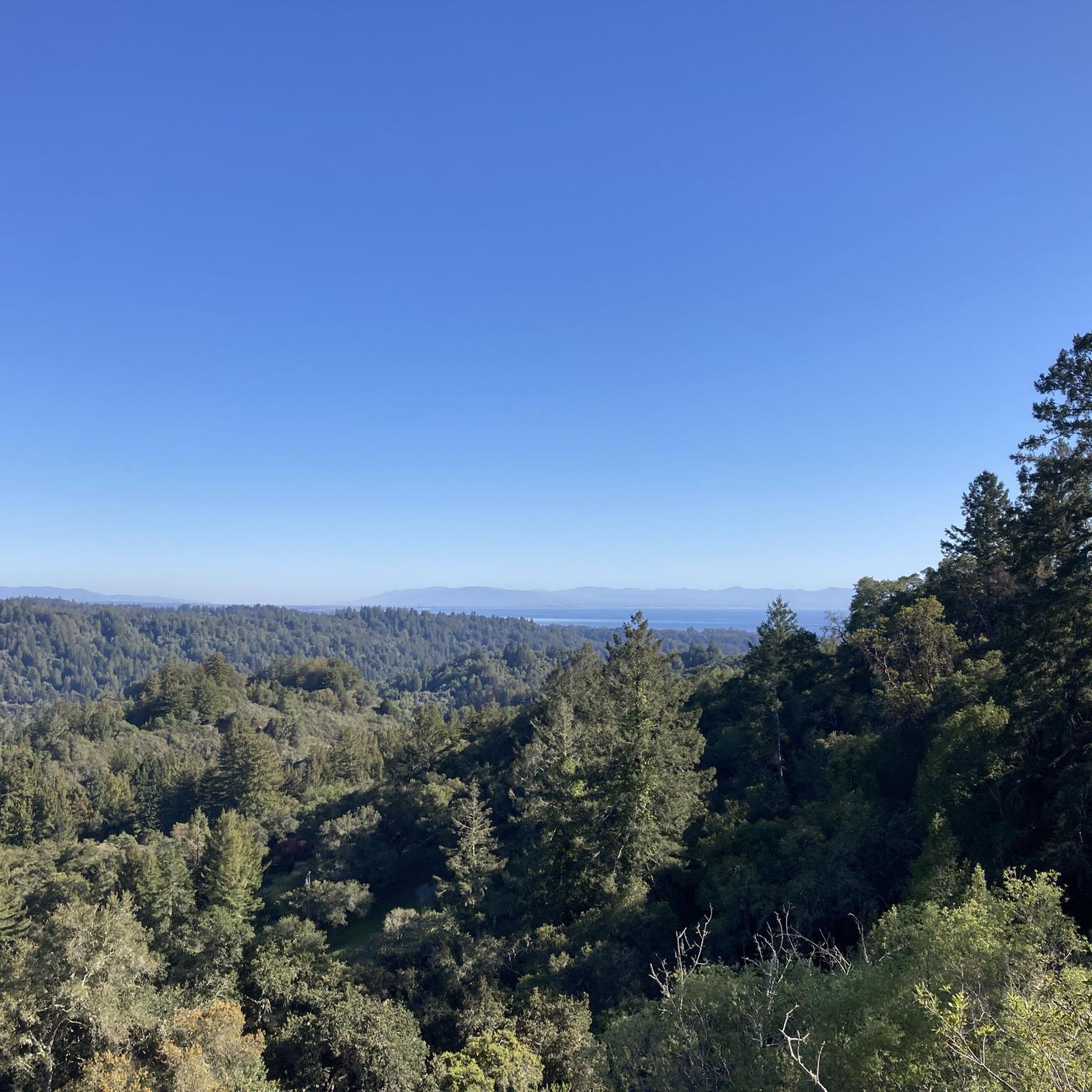
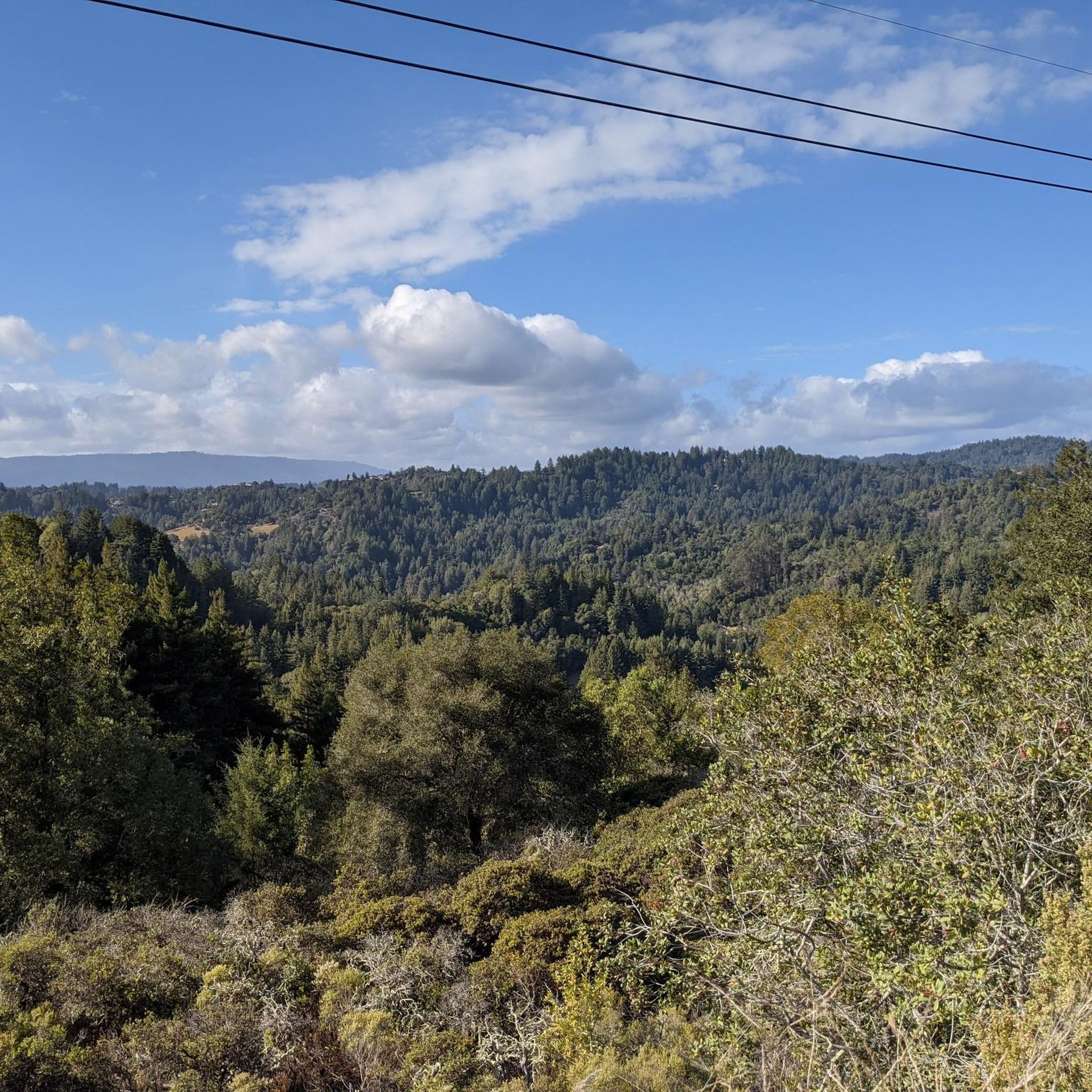
Road cycling in The Forest Of Nisene Marks State Park features routes through dense redwood forests and along coastal areas near Aptos, California. The terrain includes rolling hills and some sustained climbs, offering varied experiences for road cyclists. This region is characterized by its natural woodlands and proximity to the Pacific coastline, providing diverse landscapes for exploration. The park's road bike trail distances vary, accommodating different fitness levels.
Best road cycling routes in The Forest Of Nisene Marks State Park
…Last updated: July 7, 2026
5.0
(1)
13
riders
66.9km
02:58
520m
520m
Cycle the moderate 41.6-mile Watsonville loop from Seacliff, gaining 1716 feet in elevation through farmlands and near Sunset State Beach.
4.0
(1)
5
riders
17.6km
00:49
190m
190m
This easy 10.9-mile road cycling loop in Rio Del Mar offers well-paved surfaces, coastal scenery, and is great for any fitness level.

Sign up for free
69
riders
84.9km
04:53
1,290m
1,290m
Hard road ride. Very good fitness required. Some segments of this route may be unpaved and difficult to ride.
4.0
(1)
11
riders
41.9km
01:49
340m
340m
Moderate road ride. Good fitness required. Mostly well-paved surfaces and easy to ride.
5.0
(1)
29
riders
Moderate road ride. Good fitness required. Some segments of this route may be unpaved and difficult to ride.
Get access to more routes and recommendations from other explorers.
Sign up for free
Already have an account?
Our route recommendations are based on thousands of hikes, rides, and runs completed by other people on komoot.
Start today with a free account
Your next adventure awaits.
Login or Signup
Popular around The Forest Of Nisene Marks State Park




Other adventures in The Forest Of Nisene Marks State Park

Tips from the Community

A scenic stop just off the winding roads of the Santa Cruz Mountains, Lexington Reservoir County Park is a great spot to catch your breath and enjoy the view. The smooth pavement along Alma Bridge Road makes it a popular stretch for cyclists, with rolling terrain and minimal traffic. There's parking, restrooms, and shaded areas if you need a break. From here, you can loop toward Los Gatos or push deeper into the climbs of Highway 17 and Old Santa Cruz Highway.
0
0

Los Gatos Coffee Roasting Company has been crafting coffee since 1982, becoming a beloved gathering spot for locals. They offer local wines, craft beers, and live music events on Thursdays, Fridays, and Saturdays from 7–9 PM. Visitors can enjoy espresso, tea, pastries, and fresh coffee beans to take home. Seating is available indoors, outdoors, and in a designated parklet.
1
0

If you're in Santa Cruz, Regale Vineyards is a must-visit. Nestled in the Santa Cruz Mountains, it offers more than just great wine – the views are incredible. Whether you're enjoying a tasting on the patio or strolling through the vineyards, you’ll be surrounded by lush greenery and towering redwoods. It’s a peaceful spot to relax and soak in the beauty of the area. Plus, the wines are fantastic, showcasing the best of the region.
0
0
Forbes Mill Museum, housed in a two-story building of the original 1854 flour mill, offers a glimpse into Los Gatos' history. Built by James Alexander Forbes as California's first commercial flour mill, over the years, it served various roles, including a power plant and a PG&E substation. Saved from demolition in 1982, the building now features historical exhibits as part of New Museum Los Gatos.
0
0


Great coffee ☕️ friendly helpful staff and a fantastic place to watch the world 🌎 go by…
0
0

Sunset State Beach is a large park surrounded by fertile farmland. The beach stretches 3 miles down to the mouth of the Pajaro River. The park offers a wooded campground, picnic areas, and 200-foot-high dunes.
0
0
The Pajaro River stretches for 30 miles from the Diablo Range to where it empties into Monterey Bay. Additionally, the river forms the border between Monterey County and Santa Cruz County.
0
0
Frequently Asked Questions
What types of road cycling routes can I find in The Forest Of Nisene Marks State Park?
The park offers a diverse range of road cycling routes, from easy, gentle gradients to more challenging paths with significant elevation gain. You'll find routes through dense redwood forests and along coastal areas near Aptos, California, providing varied experiences for all fitness levels.
Are there road cycling routes suitable for beginners or families in The Forest Of Nisene Marks State Park?
Yes, there are several easy routes perfect for beginners or family outings. For instance, the Seascape Village via Valencia Road loop is an easy 10.9-mile (17.6 km) path featuring gentle gradients through local communities, ideal for a relaxed ride.
What are some challenging road cycling routes for advanced riders in the park?
For experienced cyclists seeking a challenge, routes like the Old Santa Cruz Highway – Capitola Village loop from Seacliff State Beach offer a difficult 87.2-mile (140.3 km) ride with substantial elevation gain, testing your endurance and climbing skills.
Are there any circular road cycling routes in The Forest Of Nisene Marks State Park?
Many of the road cycling routes in the area are loops, allowing you to start and finish at the same point. Examples include the Watsonville loop from Seacliff and the Seacliff State Beach – Aptos Village loop from Seacliff State Beach, both offering diverse scenery.
What is the best time of year for road cycling in The Forest Of Nisene Marks State Park?
The region generally offers pleasant cycling conditions year-round. Spring and fall provide mild temperatures and beautiful scenery. While winter can bring rain, many days remain suitable for riding, especially on paved roads. Always check local weather forecasts before heading out.
What kind of wildlife might I encounter while road cycling in the park?
The Forest Of Nisene Marks State Park is home to various wildlife. Cyclists might spot deer, various bird species, and occasionally other small mammals. Remember to maintain a respectful distance and avoid disturbing the natural habitat.
Are there any notable viewpoints or attractions along the road cycling routes?
Yes, several routes offer scenic viewpoints and access to natural attractions. You might pass by areas with stunning views like Top of the Incline or ride through beautiful forest sections such as Tillman Grove. Many routes also feature coastal vistas.
Where can I find parking for road cycling in The Forest Of Nisene Marks State Park?
Parking is typically available at various access points and trailheads around the park, including near Seacliff State Beach and other community areas in Aptos. Specific parking details can often be found on individual route pages or park information websites.
What do other road cyclists enjoy most about the routes in The Forest Of Nisene Marks State Park?
The area is highly rated by the komoot community, with an average score of 3.9 stars from over 30 reviews. Reviewers often praise the combination of quiet redwood forests, scenic coastal roads, and the variety of routes suitable for different skill levels.
Are there cafes or places to refuel near the road cycling trails?
Given the proximity to Aptos and other local communities, you'll find various cafes, restaurants, and convenience stores near many of the starting points and along some of the routes, especially those that pass through villages like Aptos Village or Seascape Village.
How long are the road cycling routes in The Forest Of Nisene Marks State Park?
Route distances vary significantly to accommodate different preferences. You can find shorter loops around 10 miles (16 km), such as the Seascape Village via Valencia Road loop, up to longer rides exceeding 50 miles (80 km), like the Sunset State Beach – Manresa State Beach loop from Seacliff State Beach.
What are the typical road conditions for cycling in the park?
The road cycling routes primarily utilize paved roads, ranging from well-maintained main roads to quieter country lanes. Within the park itself, some roads may have varying surfaces, but the designated road cycling routes generally offer smooth riding. Always be mindful of traffic and road conditions.
Most popular routes in The Forest Of Nisene Marks State Park
Most popular attractions in The Forest Of Nisene Marks State Park

Get inspired with the komoot mobile app


Explore more
Browse the best Road cycling routes in other regions.
