The best walks and hikes in The Forest Of Nisene Marks State Park
4.8
(46)
1,054
hikers
30
hikes
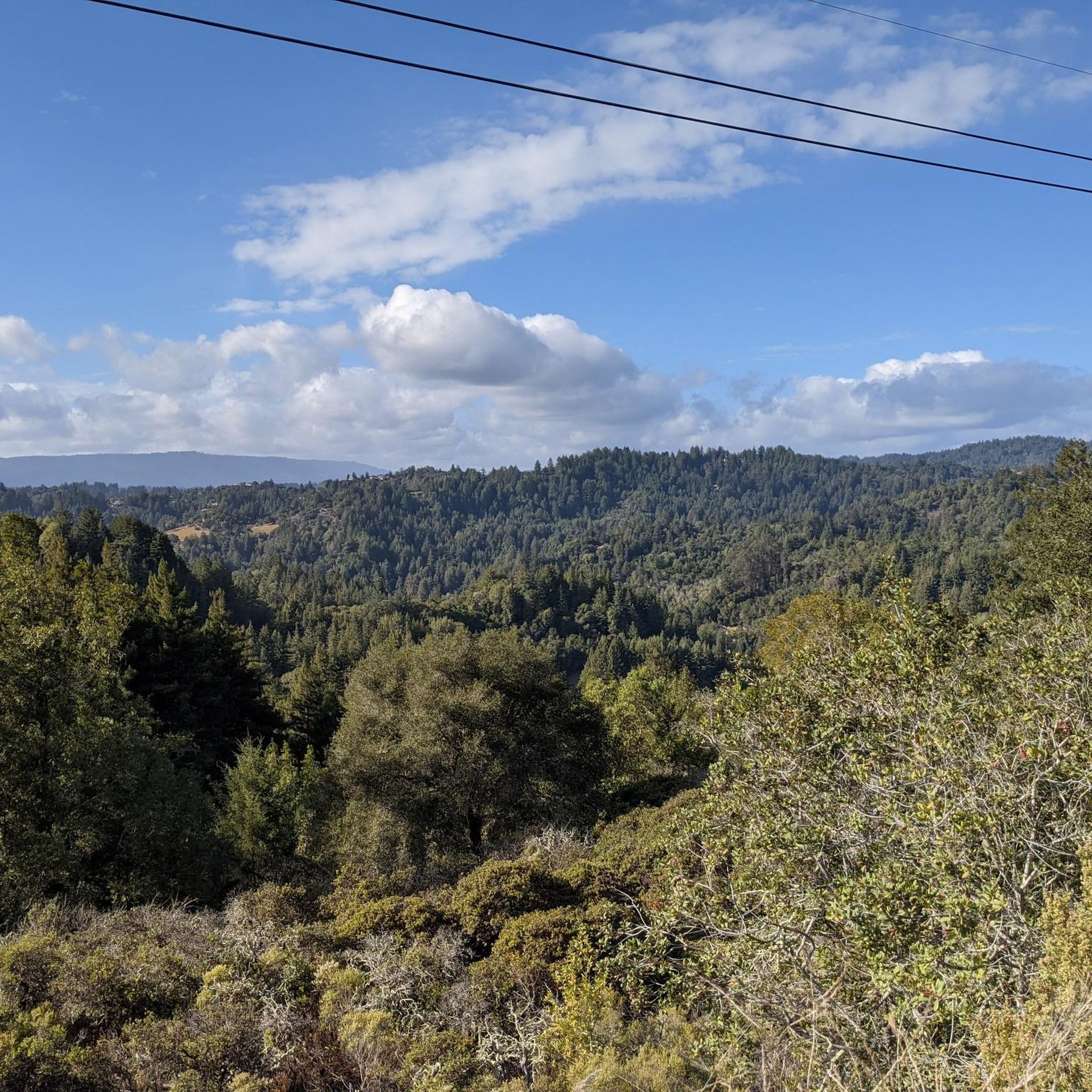
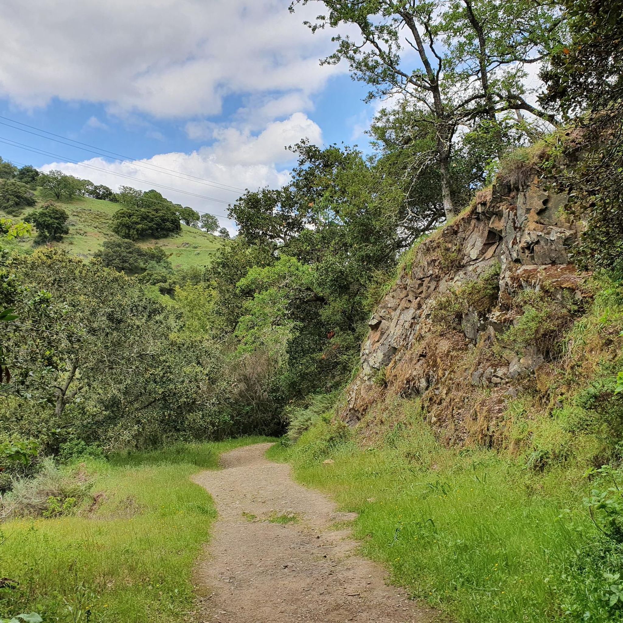
Hiking in The Forest Of Nisene Marks State Park offers diverse trails through a 10,000-acre landscape in the Santa Cruz Mountains. The park features dense second-growth redwood forests, fern-lined canyons, and the flowing Aptos Creek. Hikers can explore geological features, including fault lines and ancient marine sedimentary rocks, with some trails offering views of Monterey Bay. The terrain includes gentle paths along the creek and more challenging ascents through varied forest environments.
Best hiking trails in The Forest Of Nisene Marks State Park
- The most popular hiking route is Bridge Creek waterfalls via Aptos Creek Fire Road — The Forest of Nisene Marks State Park, a 10.6 miles (17.1 km) trail that takes 4 hours 43 minutes to complete, leading to scenic waterfalls.
- Another top favourite among local hikers is Bridge Creek waterfalls loop — The Forest of Nisene Marks State Park, a moderate 9.9 miles (15.9 km) path. This route features varied forest terrain and significant elevation gain.
- Local hikers also love the Aptos Rancho & Terrace Trail loop — The Forest of Nisene Marks State Park, a 2.6 miles (4.2 km) trail leading through redwood forests and along Aptos Creek, often completed in about 1 hour 13 minutes.
- Hiking in The Forest Of Nisene Marks State Park is defined by towering redwood forests, fern-lined canyons, and geological features. The extensive network offers options for various ability levels, from easy strolls to moderate day hikes.
- The routes in The Forest Of Nisene Marks State Park are highly rated by the komoot community with an average score of 4.7 stars from over 20 reviews. More than 700 hikers have used komoot to explore The Forest Of Nisene Marks State Park's varied terrain.
Last updated: August 30, 2026
4
hikers
20.6km
06:00
820m
110m
Hard hike. Very good fitness required. Easily-accessible paths. Suitable for all skill levels.
3
hikers
10.5km
02:53
230m
60m
Moderate hike. Good fitness required. Easily-accessible paths. Suitable for all skill levels.

Sign up for free
1
hikers
23.7km
07:20
590m
600m
Hard hike. Very good fitness required. Mostly accessible paths. Sure-footedness required.
1
hikers
8.78km
02:42
440m
50m
Moderate hike. Good fitness required. Easily-accessible paths. Suitable for all skill levels.
2.96km
00:48
50m
30m
Easy hike. Great for any fitness level. Easily-accessible paths. Suitable for all skill levels.
Get access to more routes and recommendations from other explorers.
Sign up for free
Already have an account?
Our route recommendations are based on thousands of hikes, rides, and runs completed by other people on komoot.
Start today with a free account
Your next adventure awaits.
Login or Signup
Popular around The Forest Of Nisene Marks State Park




Other adventures in The Forest Of Nisene Marks State Park

Tips from the Community

This is your reward for getting to the top of the incline, panoramic views to the coast. The viewpoint is actually called Top of the Incline, and after this the climb becomes more gradual.
0
0

The Santa Rosalia Viewpoint marks the top of the Ridge Trail and offers a great view of Soquel Demonstration State Forest and the surrounding foothills. A few different trails converge in this spot, so you have a number of route and loop options.
0
0
This is your reward for getting to the top of the incline, panoramic views to the coast. The viewpoint is actually called Top of the Incline, and after this the climb becomes more gradual. Do note that to get here you'll have to ride on a fire road.
0
0

A peaceful escape surrounded by nature, the towering redwood forest of Nisene Marks' Tillman Grove offers mountain bikers a scenic ride under its lush canopy. Coasting along soft dirt trails, keep your eyes peeled for wildlife peeking out from the ferns and your ears open to birds calling overhead.
0
0
At just under 1,000 feet, the aptly named Top of the Incline viewpoint rewards riders with panoramic vistas. From here, the ascent becomes gradual, giving you a chance to pause and appreciate the sweeping coastal views.
0
0
The Santa Rosalia Viewpoint marks the top of the Ridge Trail and offers a great view of Soquel Demonstration State Forest and the surrounding foothills. A few different trails converge in this spot, so you have a number of route and loop options.
1
0

This peak takes you on a bit of a climb up the forest road, but offers some pretty scenic overlook views through the trees.
0
0
Enjoy this inviting viewpoint as the lush, regenerated forest of towering Redwood and Douglas-fir trees peeks around the corner.
0
0
Frequently Asked Questions
How many hiking trails are available in The Forest of Nisene Marks State Park?
The Forest of Nisene Marks State Park offers a diverse network of over 30 miles of trails. On komoot, you can find around 15 curated hiking routes, ranging from easy strolls to more challenging day hikes.
Are there any trails with waterfalls in The Forest of Nisene Marks State Park?
Yes, Maple Falls is a significant attraction within the park, a 30-foot cascade that is particularly impressive after rainfall. You can reach it via routes like the Bridge Creek waterfalls via Aptos Creek Fire Road, which is a moderate 10.6-mile trail leading to the scenic falls.
What kind of terrain and natural features can I expect on the trails?
The park is characterized by dense second-growth redwood forests, with some impressive old-growth redwoods in areas like the 'Twisted Grove'. You'll also find fern-lined canyons, the gentle Aptos Creek, and geological features like fault lines. Some trails offer scenic views of Monterey Bay, such as from the Sand Point Overlook.
Are there any dog-friendly hiking options in The Forest of Nisene Marks State Park?
Yes, The Forest of Nisene Marks State Park is dog-friendly on several trails. Leashed dogs are permitted on the Aptos Creek Fire Road and four single-track trails, including Split Stuff, Terrace, and Vienna Woods Trails.
Are there any family-friendly or easy trails suitable for beginners?
Absolutely. The park offers several easy trails perfect for families or those seeking a gentle walk. An example is the Aptos Rancho & Terrace Trail loop, an easy 2.6-mile path through redwood forests and along Aptos Creek, typically completed in about 1 hour and 13 minutes.
What are some notable landmarks or points of interest to look out for?
Beyond the natural beauty, the park has historical significance related to its logging past and geological features. You can hike to the epicenter of the 1989 Loma Prieta earthquake. Other points of interest include the Top of the Incline viewpoint and the serene Tillman Grove.
Are there any loop trails for hiking in the park?
Yes, the park features several loop trails. A popular moderate option is the Bridge Creek waterfalls loop, a 9.9-mile path that offers varied forest terrain and significant elevation gain. Another is the West Ridge & Loma Prieta Glade Trail loop.
What do other hikers say about The Forest of Nisene Marks State Park?
The Forest of Nisene Marks State Park is highly rated by the komoot community, with an average score of 4.7 stars from over 20 reviews. Hikers often praise the towering redwood forests, the peaceful atmosphere along Aptos Creek, and the well-maintained trails that cater to various skill levels.
Is there parking available at The Forest of Nisene Marks State Park?
Yes, parking is available within The Forest of Nisene Marks State Park. There are several picnic areas like Porter, Mary Easton, and Pourroy, which also serve as convenient access points and parking locations for trails.
What is the best time of year to hike in The Forest of Nisene Marks State Park?
The park's redwood forests provide a cool, shady environment, making it pleasant for hiking year-round. Maple Falls is particularly spectacular after rainfall, so late winter and spring can be a great time to visit if you want to see the falls at their fullest. Always check local weather conditions before heading out.
Can I find ancient trees or old-growth redwoods in the park?
While much of the park consists of second-growth redwood forests, you can find impressive old-growth redwoods in specific areas. The 'Twisted Grove' on the Old-Growth Loop Trail is known for its unusual and magnificent ancient redwoods, offering a glimpse into the forest's past.
Are there opportunities for bird watching in the park?
Yes, the rich biodiversity of The Forest of Nisene Marks State Park makes it an excellent spot for bird watching. Species like the pileated woodpecker and the marbled murrelet are often sighted, adding to the natural experience of your hike.
Most popular routes in The Forest Of Nisene Marks State Park
Most popular attractions in The Forest Of Nisene Marks State Park

Get inspired with the komoot mobile app


Explore more
Browse the best Hikes in other regions.
