The best cycling routes in Salinas River National Wildlife Refuge
4.4
(23)
380
riders
13
rides
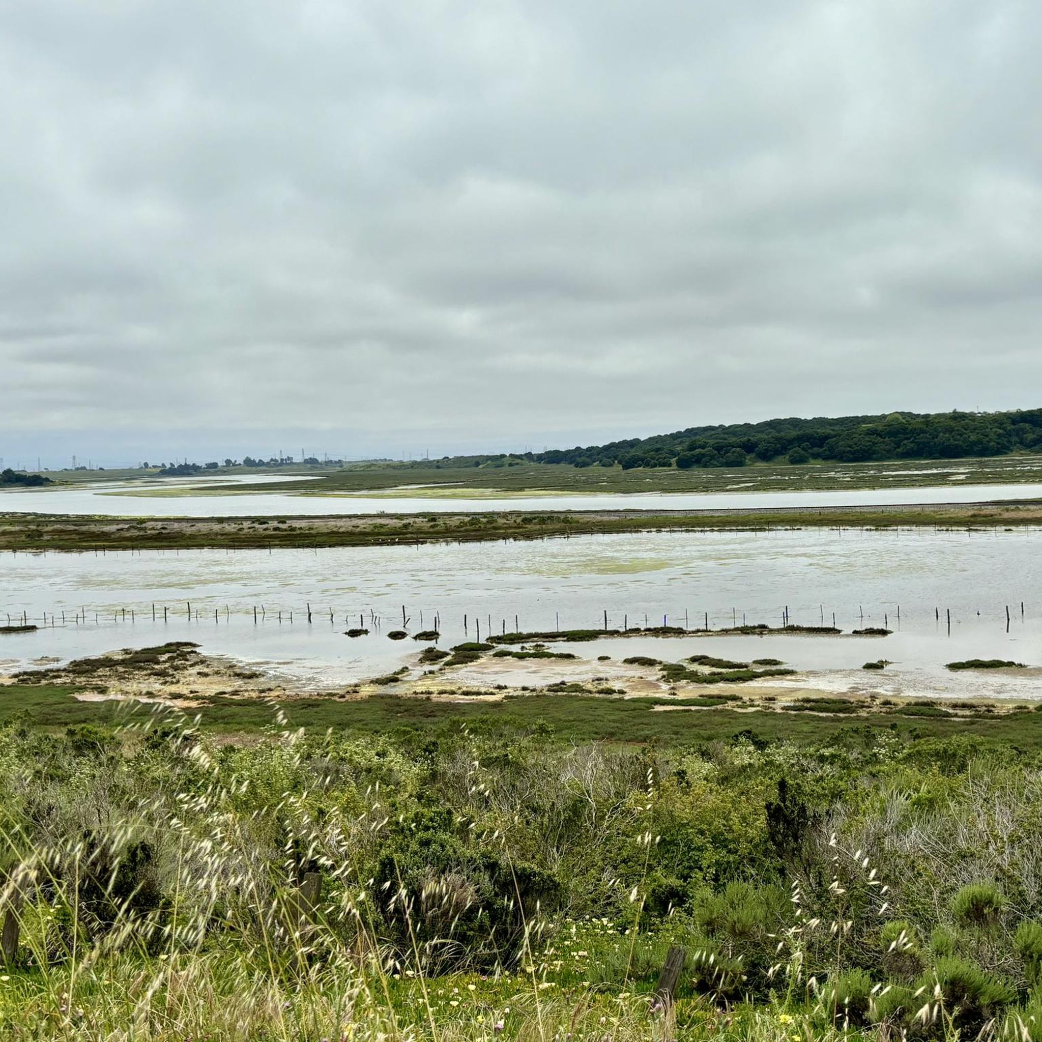
Touring cycling in Salinas River National Wildlife Refuge is primarily experienced in the surrounding areas, as the refuge itself features sensitive habitats with restricted internal trails. The region is characterized by its coastal location where the Salinas River meets Monterey Bay, offering a diverse landscape of sand dunes, salt marshes, and riverine habitats. Nearby cycling routes often feature paved surfaces and connect to broader regional trail systems, providing access to coastal landscapes and natural beauty adjacent to the refuge. This…
Last updated: July 8, 2026
3
riders
89.5km
05:41
950m
950m
Hard bike ride. Very good fitness required. Mostly paved surfaces. Suitable for all skill levels.
6
riders
8.93km
00:32
40m
40m
Easy bike ride. Great for any fitness level. Mostly paved surfaces. Suitable for all skill levels.

Sign up for free
4.8
(12)
133
riders
34.2km
02:03
160m
160m
Moderate bike ride. Good fitness required. Mostly paved surfaces. Suitable for all skill levels.
11
riders
36.1km
02:06
160m
160m
Moderate bike ride. Good fitness required. Mostly paved surfaces. Suitable for all skill levels.
4
riders
Easy bike ride. Great for any fitness level. Mostly paved surfaces. Suitable for all skill levels.
Get access to more routes and recommendations from other explorers.
Sign up for free
Already have an account?
Our route recommendations are based on thousands of hikes, rides, and runs completed by other people on komoot.
Start today with a free account
Your next adventure awaits.
Login or Signup



Tips from the Community

A lovely wharf you should see
0
0

This world-famous scenic route winds along the Monterey Peninsula, offering access to some of California’s most iconic coastal landscapes; from wind-swept cypress trees and dramatic cliffs to historic mansions and manicured golf courses. The route is fully paved and suitable for most riders, with a mix of mild climbs and breezy downhills. While the route is open to vehicles and requires a small fee for cars, cyclists can enter for free at any of the gated entrances. Whether you ride it as a peaceful morning loop or pair it with other Monterey-area trails, the 17-Mile Drive is a must for anyone looking to soak in the charm of California’s central coast by bike.
0
0

Nice, small (and free!) museum just before Fisherman's Wharf in Monterey. Nice exhibition.
1
0
Beautiful little wharf, touristy but still OK. Starting point for a (wonderful) whale watching tour. There is a sea lion colony on the edge - just watching these animals is worth a visit.
1
0

Very nice little museum It's definitely worth a visit
1
0

Fort Ord Dunes State Park, opened to the public in 2009, reveals itself as a haven across nearly 1,000 acres of public land. Discover 4 miles of coastal beauty with awe-inspiring views along the ocean beach, showcasing the splendor of the Monterey Bay National Marine Sanctuary. This sanctuary for endangered species urges responsible exploration, staying on designated trails, and following CA State Park rules to preserve these delicate habitats.
0
0

Cannery Row is the coastal street and tourist district of Monterey, California. It gets its name from the many sardine factories that were built and operated here between 1895 and around 1950. The street was previously called Ocean View Avenue, but today the nickname is official. After the collapse of the sardine fishery, the street became the tourist center of Monterey.
3
1
Frequently Asked Questions
Can I cycle directly within the Salinas River National Wildlife Refuge?
No, touring cycling is generally not permitted on the sensitive internal trails of the Salinas River National Wildlife Refuge itself. These trails are designated for hiking, birdwatching, and wildlife observation to protect endangered species and habitats. However, the broader area around the refuge offers numerous cycling routes that allow you to experience the coastal landscapes and natural beauty adjacent to the refuge.
Are there any easy touring cycling routes suitable for beginners or families?
Yes, there are several easy touring cycling routes in the surrounding area. For example, the Fort Ord Dunes State Park – Fort Ord Dunes State Park loop from Marina is an easy 6.7-mile (10.8 km) trail that leads through coastal dunes and parkland, often completed in about 39 minutes. This route is a great option for a relaxed ride.
What kind of landscapes can I expect to see on touring cycling routes near the refuge?
The touring cycling routes in the vicinity of the Salinas River National Wildlife Refuge offer diverse coastal landscapes. You can expect to see sand dunes, salt marshes, and riverine habitats where the Salinas River meets Monterey Bay. Many routes feature paved surfaces and connect to broader regional trail systems, providing scenic views of the coast and varied terrain.
Are dogs allowed on the cycling routes near Salinas River National Wildlife Refuge?
While pets, including dogs, are not permitted on the designated walking trails within the Salinas River National Wildlife Refuge itself due to sensitive habitats, many of the external cycling routes in the surrounding Monterey Bay area are generally dog-friendly. However, it's always best to check specific trail regulations or local signage for any restrictions before heading out with your pet.
Where can I find parking for touring cycling routes in the area?
Parking is typically available near the start points of the various cycling routes in the surrounding areas. For instance, routes originating from towns like Marina or Castroville will have public parking options. While the refuge itself has an unpaved parking area for its walking trails, cyclists should look for parking facilities convenient to their chosen external cycling route.
What are some popular loop routes for touring cyclists?
Many touring cyclists enjoy loop routes for their convenience. A popular moderate option is the Del Monte – Monterey State Beach loop from Castroville, which is 31.5 miles (50.6 km) and features a mix of coastal and inland sections. For a longer, more challenging ride, the Fishermans Wharf – Monterey State Beach loop from Neponset covers 55.7 miles (89.6 km) with extensive views of the Monterey Bay area.
What is the best time of year to go touring cycling in this region?
The Monterey Bay area, including the region around the Salinas River National Wildlife Refuge, generally enjoys a mild climate, making it suitable for touring cycling year-round. Spring and fall often offer pleasant temperatures and fewer crowds. Summer can be popular but may have coastal fog, while winters are typically mild with occasional rain. Always check the local weather forecast before your ride.
Are there opportunities for wildlife viewing while cycling near the refuge?
While direct cycling within the refuge's prime wildlife viewing areas is restricted, the surrounding coastal routes still offer opportunities to observe local wildlife. The Salinas River National Wildlife Refuge is a significant birdwatching hotspot, and you may spot various bird species, including pelicans, egrets, and shorebirds, in the broader coastal habitats adjacent to the cycling paths. The refuge itself protects endangered species like the western snowy plover and California brown pelican, which can sometimes be seen from nearby vantage points.
How many touring cycling routes are available in the Salinas River National Wildlife Refuge area?
There are over 10 touring cycling routes available in the Salinas River National Wildlife Refuge area on komoot, offering a range of distances and difficulties. These routes are highly rated by the komoot community, with an average score of 4.2 stars from over 15 reviews.
What makes the touring cycling experience unique in this region?
The unique aspect of touring cycling here lies in its blend of coastal beauty and ecological significance. Cyclists can enjoy routes that hug the Monterey Bay coastline, pass through diverse habitats like sand dunes and salt marshes, and connect to regional trail systems such as the Fort Ord trail system. The area offers a chance to experience the natural environment adjacent to a vital wildlife refuge, providing both scenic beauty and a sense of connection to nature.
Are there any moderate routes for cyclists looking for a bit more challenge?
Yes, for those seeking a moderate challenge, the Fishermans Wharf – Monterey State Beach loop from California State University Monterey Bay is a great option. This route covers 19.9 miles (32 km) and offers a balanced ride with varied scenery and elevation changes, providing a good workout without being overly strenuous.
Can I connect to other regional trail systems from routes near the refuge?
Absolutely. Many of the cycling routes in the broader area around the Salinas River National Wildlife Refuge connect to other regional trail systems. For example, you can access parts of the Fort Ord trail system and even the scenic 17-Mile Drive via gated entrances, expanding your cycling possibilities and allowing for longer, more varied tours.
Most popular routes in Salinas River National Wildlife Refuge

Get inspired with the komoot mobile app


Explore more
Browse the best Cycling routes in other regions.
