Salinas River National Wildlife Refuge
Salinas River National Wildlife Refuge
The best road cycling routes in Salinas River National Wildlife Refuge
4.9
(12)
709
riders
18
rides
Road cycling in Salinas River National Wildlife Refuge features routes that traverse coastal areas and riverine landscapes. The region is characterized by flat to gently rolling terrain, with some routes extending into areas with more significant elevation gain. Road cyclists can expect paths that follow the Salinas River and connect to broader coastal trails. The landscape primarily consists of open spaces, providing opportunities for long-distance road bike routes.
Best road cycling routes in Salinas River National Wildlife Refuge
- The most…
Last updated: July 8, 2026
19
riders
Hard road ride. Very good fitness required. Some segments of this route may be unpaved and difficult to ride.
19
riders
49.2km
02:18
440m
440m
Embark on a captivating road cycling journey with the El Estero Lake Park – Monterey Bay Coastal Trail loop from Marina, where spectacular dunes give way to the vibrant coastal…

Sign up for free
7
riders
67.1km
03:41
970m
970m
This difficult 41.7-mile road cycling loop through Fort Ord National Monument offers diverse scenery, from farmlands to coastal views.
5.0
(1)
99
riders
94.7km
04:16
860m
860m
Moderate road ride. Good fitness required. Some segments of this route may be unpaved and difficult to ride.
4.7
(6)
172
riders
36.8km
01:55
180m
180m
Easy road ride. Great for any fitness level. Mostly well-paved surfaces and easy to ride.
Get access to more routes and recommendations from other explorers.
Sign up for free
Already have an account?
Our route recommendations are based on thousands of hikes, rides, and runs completed by other people on komoot.
Start today with a free account
Your next adventure awaits.
Login or Signup
Popular around Salinas River National Wildlife Refuge



Tips from the Community


A good spot to start or finish a ride in Monterey. Easy to access with flat paths around the lake, it connects well to city streets and coastal routes for planning longer rides.
0
0

Official viewpoint of the famous Rocky Creek Bridge. It is worth pulling off the road and making the short trip to the viewing platform to take in the wonderful views.
0
0
The Rocky Creek Bridge is a beautiful reinforced‑concrete, open‑spandrel arch bridge finished in 1932. The bridge is one of the highlights along the Pacific Coast Highway.
0
0


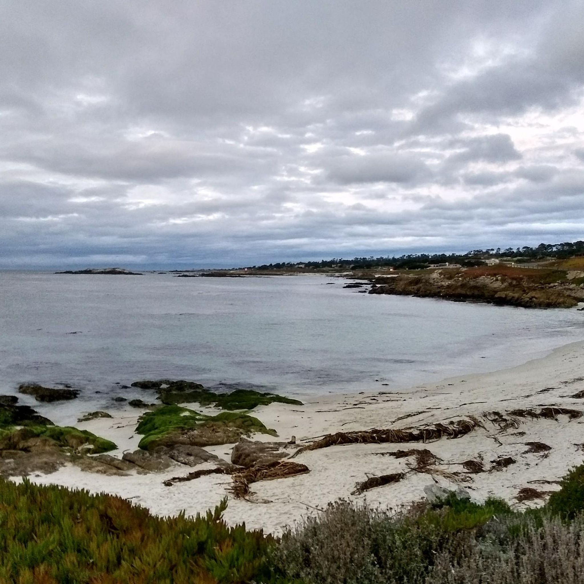
Moss Beach is partially sand and partially pebbles. It looks out into the ocean and bay, and there is a large parking area next to the road.
0
0

Pescadero Point is a fantastic spot to view the ghost trees and offers spectacular ocean views, along with fascinating rock formations. This area is known for its legendary big waves, which can reach heights of up to 50 feet (15 meters) in the winter, but it's a stunning sight to see any time of year. There is a manned gate at the entrance of the Pebble Beach Golf Course to access this location for vehicles, however, if you're on a bike you can pass for free.
0
0

California State Route 1 is a beautiful route on the west coast of the USA. The Bixby Bridge is located between Monterey and Los Angeles and is one of the special highlights.
0
0
Frequently Asked Questions
Are there easy or family-friendly road cycling routes in Salinas River National Wildlife Refuge?
Yes, the region offers several easy routes suitable for beginners or families. For example, the Fort Ord Dunes State Park – Fort Ord Dunes State Park loop from Marina is an easy 19.9 km route with minimal elevation gain. The overall network includes 5 easy routes, providing gentle options for various skill levels.
What are some options for long-distance road cycling in the Salinas River National Wildlife Refuge area?
For longer rides, consider routes that extend beyond the immediate refuge. The Bixby Creek Bridge Viewpoint 🌉 – Little Sur Creek - beach loop from Salinas River National Wildlife Refuge is a challenging 115.2 km route offering extensive coastal views. Another substantial option is the Monterey Bay Coastal Trail and 17-Mile Drive Loop, which covers 91.2 km.
Where can I find parking for road cycling routes near Salinas River National Wildlife Refuge?
Parking is generally available at various trailheads and access points along the coast and near state parks in the wider Monterey Bay area. Specific parking information is often detailed on individual route pages on komoot, or at popular starting points like Fort Ord Dunes State Park.
Are there advanced or challenging road cycling routes available?
Yes, for experienced road cyclists seeking a challenge, the region offers difficult routes with significant elevation gain and longer distances. The Bixby Creek Bridge Viewpoint 🌉 – Little Sur Creek - beach loop from Salinas River National Wildlife Refuge is a prime example, covering 115.2 km with over 1400 meters of ascent. Another challenging option is the Fort Ord and Monterey Bay Coastal Trail Loop, a 67.1 km route with nearly 1000 meters of climbing.
What is the best time of year to go road cycling in Salinas River National Wildlife Refuge?
The coastal climate of the Salinas River National Wildlife Refuge area generally offers pleasant road cycling conditions year-round. Spring and fall often provide mild temperatures and fewer crowds. Summers are typically cool and foggy along the coast, which can be ideal for cycling, while winters are mild but may bring occasional rain.
Are there scenic viewpoints or wildlife spotting opportunities along the road cycling routes?
Many routes in the region offer stunning coastal views and opportunities for wildlife observation, especially given its proximity to a National Wildlife Refuge. Cyclists often spot various bird species, marine life, and other coastal fauna. Routes like the Monterey Bay Coastal Trail and 17-Mile Drive Loop are particularly known for their scenic beauty and potential for wildlife encounters.
Are there any loop trails for road cycling in the Salinas River National Wildlife Refuge area?
Yes, several road cycling routes in the area are designed as loops, offering a convenient way to start and end your ride at the same point. Examples include the Fort Ord and Monterey Bay Coastal Trail Loop and the Fort Ord Dunes State Park – Fort Ord Dunes State Park loop from Marina.
What do other road cyclists enjoy the most about road cycling in Salinas River National Wildlife Refuge?
The area is highly rated by the komoot community, with an average score of 4.9 stars from over 14 reviews. Reviewers often praise the diverse coastal paths, river views, and open landscapes. The variety of routes, from easy to difficult, also makes it a popular choice for many cyclists.
How many road cycling routes are available in the Salinas River National Wildlife Refuge region?
There are 14 road cycling routes available in the Salinas River National Wildlife Refuge region, catering to various skill levels. This includes 5 easy, 7 moderate, and 2 difficult routes, ensuring options for everyone from beginners to advanced cyclists.
Are there cafes or places to stop for refreshments along the road cycling routes?
Given the coastal location and proximity to towns like Marina and Monterey, many routes, especially those following the Monterey Bay Coastal Trail, pass through or near areas with cafes, restaurants, and other amenities where cyclists can stop for refreshments.
What kind of terrain can I expect on road cycling routes in Salinas River National Wildlife Refuge?
Road cycling in this region primarily features flat to gently rolling terrain, especially along the Salinas River and coastal areas. Some routes, particularly those extending further inland or into the hills, can include more significant elevation gain, offering a varied experience for cyclists.
Can I connect to other popular cycling trails from the Salinas River National Wildlife Refuge area?
Yes, many routes in the area connect to broader coastal trails, most notably the Monterey Bay Coastal Trail. This allows cyclists to extend their rides and explore a wider network of paths, linking various scenic points and communities along the bay.
Most popular routes in Salinas River National Wildlife Refuge

Get inspired with the komoot mobile app


Explore more
Browse the best Road cycling routes in other regions.
