The best running trails in Weminuche Contiguous Wilderness Study Area
68
runners
16
runs
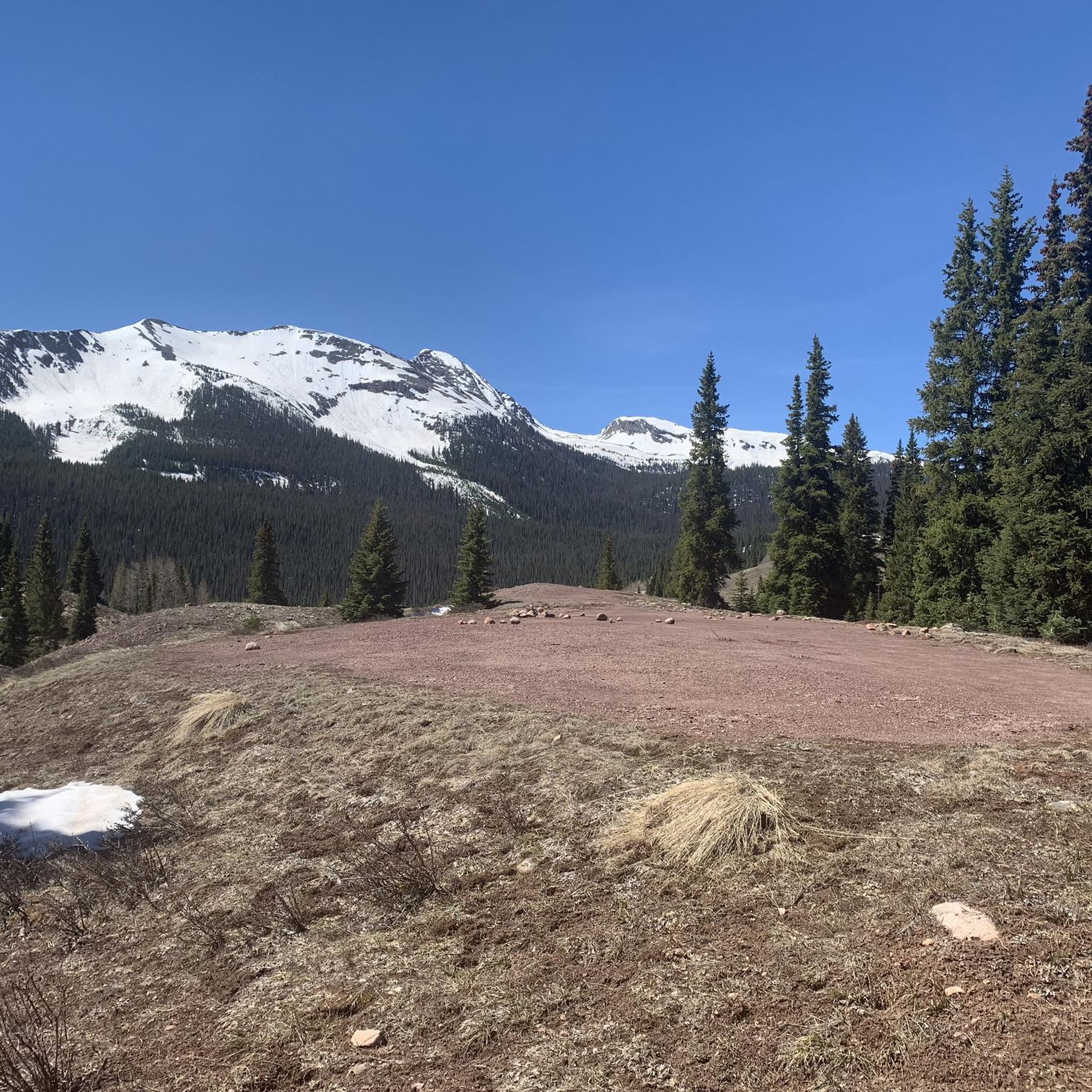
Jogging in Weminuche Contiguous Wilderness Study Area offers routes through a high-altitude mountain environment, characterized by rugged peaks, alpine lakes, and dense coniferous forests. The terrain often involves significant elevation changes, providing challenging ascents and descents. Paths typically follow established trails, winding through valleys and across mountain passes.
Best jogging routes in Weminuche Contiguous Wilderness Study Area
- The most popular jogging route is Highland Mary Lakes Trail, a difficult 4.8 miles (7.7 km) trail that takes 1 hour 11 minutes to complete. This route features substantial elevation gain through scenic mountain landscapes.
- Another top favourite among local runners is Highland Mary Lakes Trail, a difficult 4.1 miles (6.6 km) path. This trail offers a challenging run with rewarding views of high alpine terrain.
- Local runners also love the Cunningham Gulch Trail, a 6.4 miles (10.3 km) trail leading through forested valleys and open slopes, often completed in about 1 hour 37 minutes.
- Jogging in Weminuche Contiguous Wilderness Study Area is defined by high mountain passes, alpine lakes, and forested valleys. The region offers a variety of routes, including 1 easy, 6 moderate, and 8 difficult options, catering to different ability levels.
- The guide includes highly-rated routes that showcase the best of the region's landscape. More than 40 runners have used komoot to explore Weminuche Contiguous Wilderness Study Area's varied terrain.
Last updated: June 25, 2026
2
runners
7.72km
01:11
390m
390m
Hard run. Very good fitness required. Mostly paved surfaces. Suitable for all skill levels.
6.55km
00:59
430m
430m
Hard run. Very good fitness required. Mostly paved surfaces. Suitable for all skill levels.

Sign up for free
10.3km
01:37
560m
560m
Hard run. Very good fitness required. Mostly paved surfaces. Suitable for all skill levels.
4.01km
00:40
250m
250m
Moderate run. Good fitness required. Mostly paved surfaces. Suitable for all skill levels.
23
runners
15.0km
02:23
870m
870m
Hard run. Very good fitness required. Mostly accessible paths. Some sure footedness required.
Get access to more routes and recommendations from other explorers.
Sign up for free
Already have an account?
Our route recommendations are based on thousands of hikes, rides, and runs completed by other people on komoot.
Start today with a free account
Your next adventure awaits.
Login or Signup
Popular around Weminuche Contiguous Wilderness Study Area

Tips from the Community

Metal mining and processing (including gold and silver) was a big industry in the area around Silverton. On the way up to Silver Lake there are the remains of an old gold mine.
0
0

Here the road ends and splits into a trail. To the north is Kendall Mountain, and you can follow the western trail up along its ridge. To the east, the trail leads up towards Kendall Peak.
0
0
The road up Kendall Peak is a rough PHV track. This is a great spot to run and hike, as the grade is not too steep nor the trail too technical and it leads straight into the mountains from town.
0
0
From this ridge between Sugarloaf and Mount Rhoda, you can see the Highland Mary Lakes and Weminuche Wilderness to the south. To the north you can look out across Spencer Basin over Mountaineer Creek toward Kendall Peak and Little Giant Peak.
0
0
Here the road ends and splits into a trail. To the north is Kendall Mountain, and you can follow the western trail up along its ridge. To the east the trail leads up towards Kendall Peak.
0
0
Silver Lake is a stunning alpine lake with the ruins of an old mining town along its shores.
0
0
You can drive up the OHV road to Mayflower Mine and park here to continue hiking up to Silver Lake. The ruins of the old gold mine are along the side of the trail. Some parts of the year the trail may be snowed in past the mine.
0
0
This valley is filled with wildflowers come summer. The Continental Divide Trail runs over 3,000 miles from Mexico to Canada — here it intersects the 486-mile Colorado Trail, which runs from Denver to Durango.
0
0
Frequently Asked Questions
What is the overall difficulty level for running routes in the Weminuche Contiguous Wilderness Study Area?
The Weminuche Contiguous Wilderness Study Area offers a range of running routes, but many are quite challenging due to the high-altitude mountain environment. Out of 15 available routes, you'll find 1 easy, 6 moderate, and 8 difficult options. Expect significant elevation changes, rugged terrain, and rewarding views.
Are there any easy running trails suitable for beginners in this wilderness area?
Yes, there is one easy running route available in the Weminuche Contiguous Wilderness Study Area. While most trails are moderate to difficult, this option provides a less strenuous experience for those new to trail running or looking for a lighter workout.
What kind of scenery can I expect along the jogging routes in Weminuche Contiguous Wilderness Study Area?
Jogging routes in this area are characterized by stunning high-altitude mountain landscapes. You'll encounter rugged peaks, pristine alpine lakes, and dense coniferous forests. Many trails wind through scenic valleys and across mountain passes, offering breathtaking vistas throughout your run.
Are there any circular running routes available in the Weminuche Contiguous Wilderness Study Area?
Yes, several running routes in the Weminuche Contiguous Wilderness Study Area are designed as circular paths, allowing you to start and end at the same point without retracing your steps. For example, the Silver Lake Trail run is a moderate circular option that offers diverse scenery.
Can I bring my dog on the running trails in Weminuche Contiguous Wilderness Study Area?
Generally, dogs are permitted on trails within the Weminuche Contiguous Wilderness Study Area, but it's crucial to follow Leave No Trace principles. Always keep your dog on a leash, pack out all waste, and ensure they are well-behaved around wildlife and other trail users. Check specific trail regulations before you go, as some areas might have seasonal restrictions.
What is the best time of year to go jogging in the Weminuche Contiguous Wilderness Study Area?
The best time for jogging in the Weminuche Contiguous Wilderness Study Area is typically from late spring to early autumn (June through September). During these months, snow has usually melted from higher elevations, and weather conditions are generally more stable. Always check current weather forecasts and trail conditions before heading out, as mountain weather can change rapidly.
Are there any long-distance running trails for endurance training?
For those seeking longer runs, the Weminuche Contiguous Wilderness Study Area does offer some extended options. The Kendall Mountain Road, for instance, is a challenging 9.3-mile (15 km) route with significant elevation gain, perfect for endurance training in a high-alpine setting.
What are the parking options like for trailheads in the Weminuche Contiguous Wilderness Study Area?
Parking availability varies by trailhead in the Weminuche Contiguous Wilderness Study Area. Many trailheads have designated parking areas, though they can fill up quickly during peak season. It's advisable to arrive early, especially for popular routes, and always park legally and responsibly to avoid obstructing access or damaging the environment.
Are there any family-friendly running routes suitable for children?
While many routes in this wilderness area are challenging, some shorter, less strenuous options might be suitable for families with older, active children. The single easy route available would be the most appropriate starting point. Always consider the elevation gain and ruggedness of the terrain when planning a family outing.
What should I know about weather conditions when planning a run in this region?
Weather in the Weminuche Contiguous Wilderness Study Area can be unpredictable, especially at higher altitudes. Be prepared for sudden changes, including thunderstorms, hail, or even snow, even in summer. Always carry appropriate layers, rain gear, and sufficient water. Check the forecast before you leave and be ready to turn back if conditions deteriorate.
Are there any amenities like cafes or restrooms near the running trails?
As a wilderness study area, the Weminuche Contiguous Wilderness is largely undeveloped. You should not expect to find amenities like cafes, restrooms, or water sources directly along the running trails. Plan to be self-sufficient by carrying all necessary supplies, including water, snacks, and a way to pack out all waste. Facilities are typically only available in nearby towns or at designated campgrounds outside the immediate wilderness boundary.
Most popular routes in Weminuche Contiguous Wilderness Study Area

Get inspired with the komoot mobile app


Explore more
Browse the best Running Trails & Routes in other regions.
