The best MTB trails in Weminuche Contiguous Wilderness Study Area
5.0
(1)
26
riders
5
rides
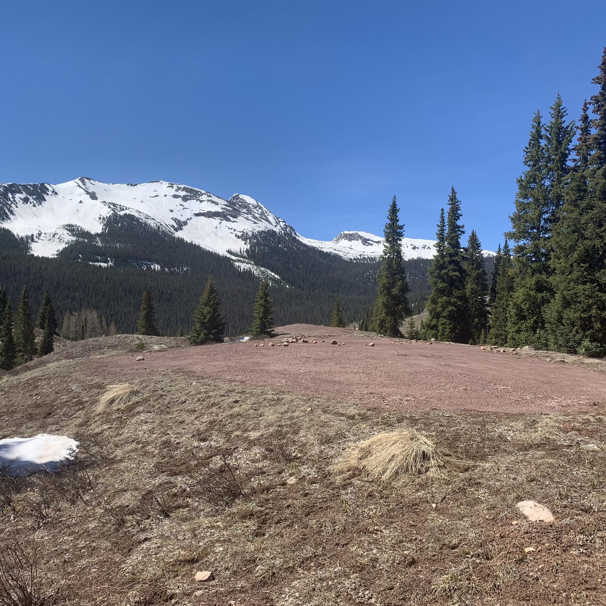
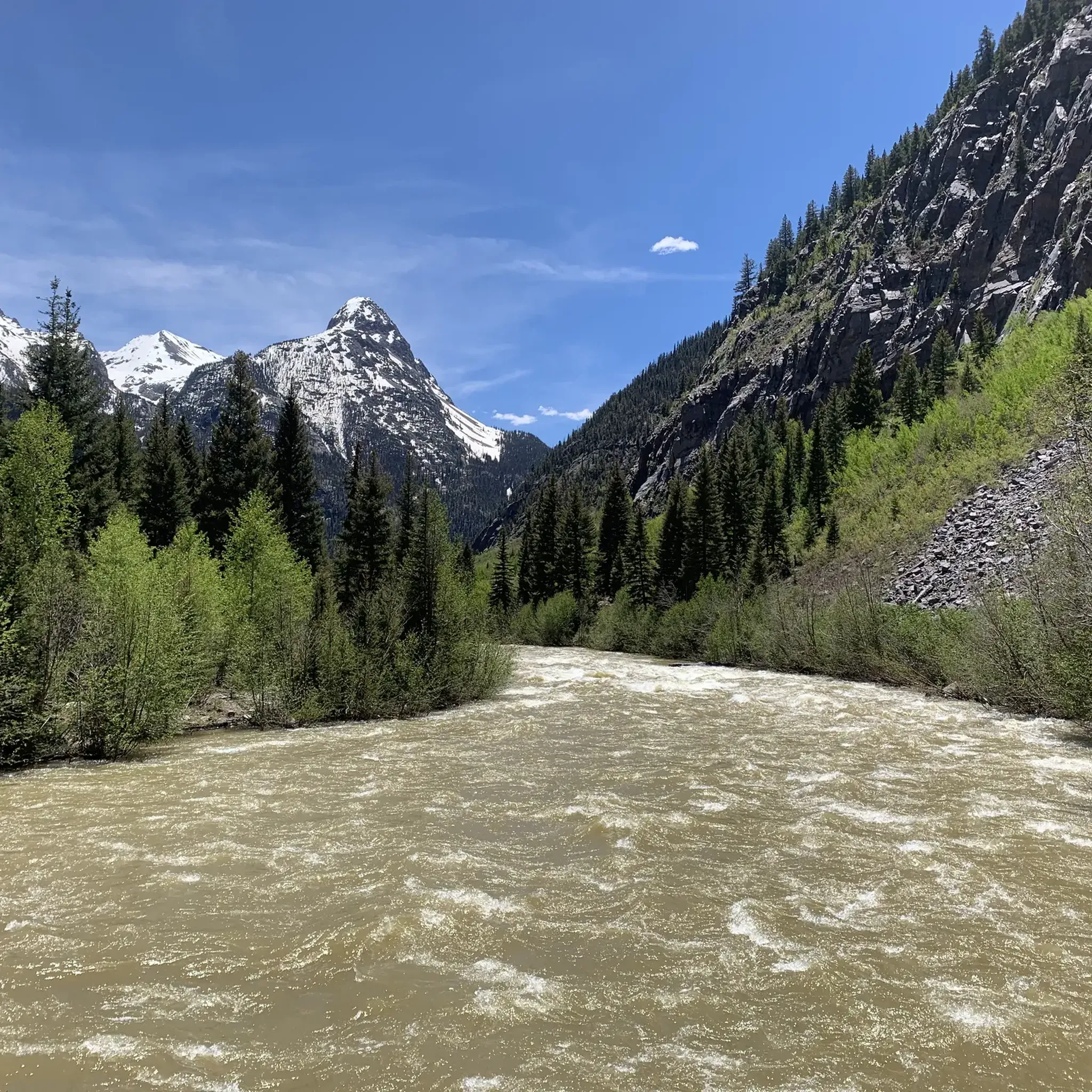
Mountain biking in Weminuche Contiguous Wilderness Study Area offers challenging trails through high-altitude terrain. The region is characterized by significant elevation changes, rugged mountain passes, and expansive wilderness landscapes. Mountain bikers can expect routes that traverse varied environments, from forested sections to open alpine areas, providing a demanding experience.
Best mountain bike trails in Weminuche Contiguous Wilderness Study Area
- The most popular mountain bike trail is Silverton – Velocity Basin loop from Silverton, a 18.0 miles (28.9 km) trail that takes 3 hours 30 minutes to complete. This difficult route features substantial climbs and descents through mountain scenery.
- Another top favourite among local mountain bikers is Colorado Trail: Twin Sisters, a moderate 18.5 miles (29.8 km) path. This trail offers a mix of ascents and descents across varied wilderness terrain.
- Local mountain bikers also love the Engineer Mountain and Colorado Trail Loop, a 40.1 miles (64.5 km) trail leading through high mountain passes and dense forests, often completed in about 7 hours 55 minutes.
- Mountain biking in Weminuche Contiguous Wilderness Study Area is defined by high mountain passes, challenging climbs, and extensive wilderness landscapes. The network offers options for both moderate and difficult ability levels.
- The guide includes highly-rated routes that showcase the best of the region's landscape. More than 20 mountain bikers have used komoot to explore Weminuche Contiguous Wilderness Study Area's varied terrain.
Last updated: June 24, 2026
4
riders
29.0km
03:33
1,130m
1,130m
Hard mountain bike ride. Very good fitness required. Advanced riding skills necessary.
12
riders
29.8km
03:10
770m
770m
Moderate mountain bike ride. Good fitness required. Suitable for all skill levels.

Sign up for free
5.0
(1)
5
riders
64.5km
07:06
2,030m
2,030m
Hard mountain bike ride. Very good fitness required. Suitable for all skill levels.
3
riders
52.1km
05:21
1,620m
1,620m
Hard mountain bike ride. Very good fitness required. Suitable for all skill levels.
2
riders
63.3km
06:48
1,800m
1,800m
Hard mountain bike ride. Very good fitness required. Advanced riding skills necessary. Some portions of the route may require you to push your bike.
Our route recommendations are based on thousands of hikes, rides, and runs completed by other people on komoot.
Start today with a free account
Your next adventure awaits.
Login or Signup
Popular around Weminuche Contiguous Wilderness Study Area
Tips from the Community

Lime Creek is the last decent and reliable water source if you hike the Colorado Trail southbound. There is a nicely shaded spot to take a break and filter the water. Campspots are not too easy to find here though.
1
0

Cascade Creek is a beautiful, fast-flowing river that has two 70-foot high cascading waterfalls. This area has quite a few dispersed camping sites and a bridge to safely cross Cascade Creek.
0
0
Molas Pass sits a few yards below where the Colorado Trail passes the US 550 highway. Walk south 250 feet to the spur trail to the parking area and find Molas Overlook, a pit toilet, and parking at an elevation of 10,910 feet.
0
0

This uphill section of the Engineer Mountain Trail is not very technical, but due to the elevation and the steepness of the trail you'll breath heavily. But the good thing is: You'll pedal slowly and have plenty of time to enjoy the beautiful scenery.
1
0

Little Molas Lake is a high-altitude body of water at about 11,000 feet. It is located nearby parking lots and provides easy access to the Colorado Trail. It is the ideal place to enjoy a packed lunch before or after your ride.
0
0
It is a popular trail with great panoramic views. It is located just east of Engineer Mountain, which is easily recognisable by its two cone-like peaks. The climbs are challenging and bring you to beautiful alpine meadows at the base of the peaks.
0
0

Coal Bank Pass sits at an elevation of 10,610 feet and serves as a link between the towns of Silverton and Durango. Situated along the renowned Million Dollar Highway, it offers travelers spectacular vistas of rugged peaks and stunning landscapes.
0
0

Little Molas Lake is a small body of water found off the Colorado trail. At 11,000 feet, the lake is surrounded by beautiful mountains. There is a picnic area along the banks of the lake, so it is a great place for a break to enjoy the peaceful surroundings.
0
0
Frequently Asked Questions
What is the typical difficulty level of mountain bike trails in the Weminuche Contiguous Wilderness Study Area?
Mountain bike trails in this area are generally challenging. The majority of routes are rated as difficult, with significant elevation changes and rugged terrain. There is one moderate route, Colorado Trail: Twin Sisters, which still offers a mix of ascents and descents across varied wilderness terrain.
Are there any long-distance mountain bike routes in the Weminuche Contiguous Wilderness Study Area?
Yes, the region features several longer routes. For example, the Engineer Mountain and Colorado Trail Loop spans 40.1 miles (64.5 km) and the Lime Creek – Little Molas Lake loop from Little Molas Lake is 39.3 miles (63.3 km) long, both leading through high mountain passes and dense forests.
Is parking available for mountain bikers in the Weminuche Contiguous Wilderness Study Area?
Parking availability varies by trailhead. Many trailheads, especially those for popular routes, offer designated parking areas. It's advisable to check specific route details or local forest service information for precise parking locations and any potential fees before your ride.
Do I need a permit to mountain bike in the Weminuche Contiguous Wilderness Study Area?
The Weminuche Contiguous Wilderness Study Area is adjacent to the designated Weminuche Wilderness, where mechanized travel, including mountain biking, is prohibited. While the Study Area itself may have different regulations, it's crucial to verify current rules with the local Forest Service office to ensure you are on trails where mountain biking is permitted and if any permits are required for specific areas or activities.
What kind of challenges can advanced mountain bikers expect in the Weminuche Contiguous Wilderness Study Area?
Advanced mountain bikers will find routes characterized by significant elevation gains and descents, rugged singletrack, and high mountain passes. Trails like Silverton – Velocity Basin loop from Silverton and Engineer Mountain Trail – Durango offer demanding climbs and technical sections through expansive wilderness landscapes.
Can I bring my dog on mountain bike trails in the Weminuche Contiguous Wilderness Study Area?
Generally, dogs are allowed on trails in National Forests and Wilderness Study Areas, but they must be kept on a leash to protect wildlife and ensure the safety of other trail users. Always check specific trailhead regulations, as some areas may have seasonal restrictions or require dogs to be under strict voice control.
When is the best time of year to go mountain biking in the Weminuche Contiguous Wilderness Study Area?
The prime season for mountain biking in this high-altitude region is typically from late spring through early fall (June to September). During this period, snow has usually melted from higher elevations, and weather conditions are generally more stable. Always check current weather and trail conditions before heading out.
What are the typical trail conditions like in the Weminuche Contiguous Wilderness Study Area?
Trails often feature rugged mountain passes, rocky sections, and can include both forested and open alpine environments. Due to the high elevation and weather patterns, conditions can change rapidly, with potential for mud, snow patches at higher altitudes even in summer, and loose gravel. Expect a demanding and natural trail experience.
Is winter mountain biking possible in the Weminuche Contiguous Wilderness Study Area?
Winter mountain biking is generally not recommended in the Weminuche Contiguous Wilderness Study Area due to heavy snowfall, extreme cold, and avalanche risks at higher elevations. Many trails become impassable or are better suited for winter sports like backcountry skiing or snowshoeing. The region's high-altitude nature means snow persists well into spring.
Are there any loop mountain bike trails in the Weminuche Contiguous Wilderness Study Area?
Yes, several routes in the area are designed as loops, offering a circular riding experience. Notable examples include the Engineer Mountain and Colorado Trail Loop and the Lime Creek – Little Molas Lake loop from Little Molas Lake.
What do other mountain bikers enjoy the most about mountain biking in the Weminuche Contiguous Wilderness Study Area?
The area is highly rated by the komoot community, with an average score of 5.0 stars. Reviewers often praise the challenging nature of the trails, the stunning high-altitude mountain scenery, and the expansive wilderness experience. The significant elevation changes and rugged terrain are frequently highlighted as key attractions for experienced riders.
Most popular routes in Weminuche Contiguous Wilderness Study Area

Get inspired with the komoot mobile app


Explore more
Browse the best MTB trails in other regions.
