The best MTB trails in Mill Creek Canyon Wilderness Study Area
4.7
(81)
3,854
riders
62
rides
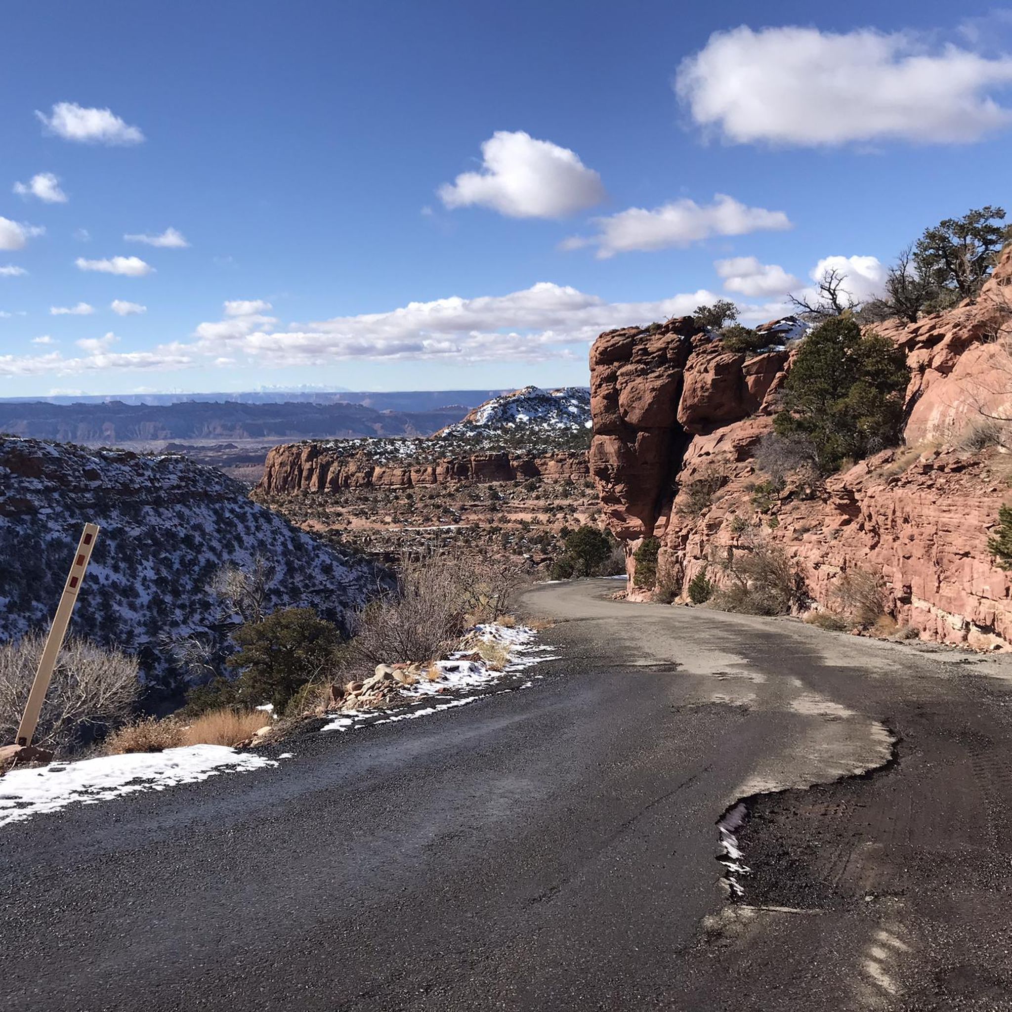
Mountain bike trails in Mill Creek Canyon Wilderness Study Area are characterized by a dramatic desert environment featuring towering canyon walls and expansive Navajo sandstone formations. The landscape includes sheer canyon systems with perennial streams, lush riparian vegetation, and pinyon-juniper vegetation above the canyon bottoms. This diverse terrain offers a variety of surfaces, from grippy slickrock to singletracks winding through different ecosystems. Many routes provide views of the distant La Sal Mountains.
Best mountain bike trails in Mill Creek Canyon…
Last updated: September 27, 2026
5.0
(1)
100
riders
19.5km
01:27
150m
820m
Moderate mountain bike ride. Great for any fitness level. Advanced riding skills necessary.
5.0
(7)
302
riders
65.9km
06:20
1,500m
1,490m
Hard mountain bike ride. Very good fitness required. Advanced riding skills necessary. Some portions of the route may require you to push your bike.

14
riders
13.0km
01:31
450m
440m
Moderate mountain bike ride. Good fitness required. Advanced riding skills necessary.
5.0
(2)
146
riders
29.9km
02:01
230m
1,210m
Hard mountain bike ride. Good fitness required. Advanced riding skills necessary. Some portions of the route may require you to push your bike.

4.9
(10)
508
riders
13.9km
01:16
180m
180m
Hard mountain bike ride. Great for any fitness level. Advanced riding skills necessary. Some portions of the route may require you to push your bike.
Get access to more routes and recommendations from other explorers.
Already have an account?
Our route recommendations are based on thousands of hikes, rides, and runs completed by other people on komoot.
Start today with a free account
Your next adventure awaits.
Tips from the Community

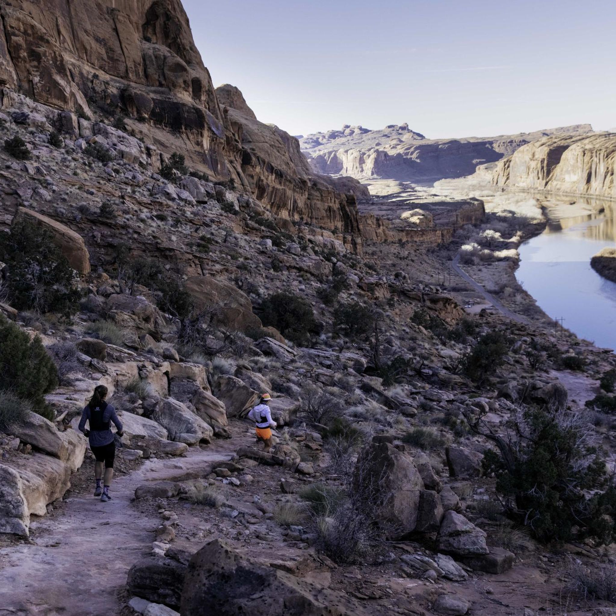
Very nice trail. View into the canyon. Overall more S2 than S3, although the trail is somewhat exposed here and there.
0
0

The Slickrock Trail is a popular trail for mountain bikers. While not suitable for road bikes, the trailhead has parking, picnic tables, and restrooms, so it is a good place to start a ride or for a mid-ride bathroom break.
0
0

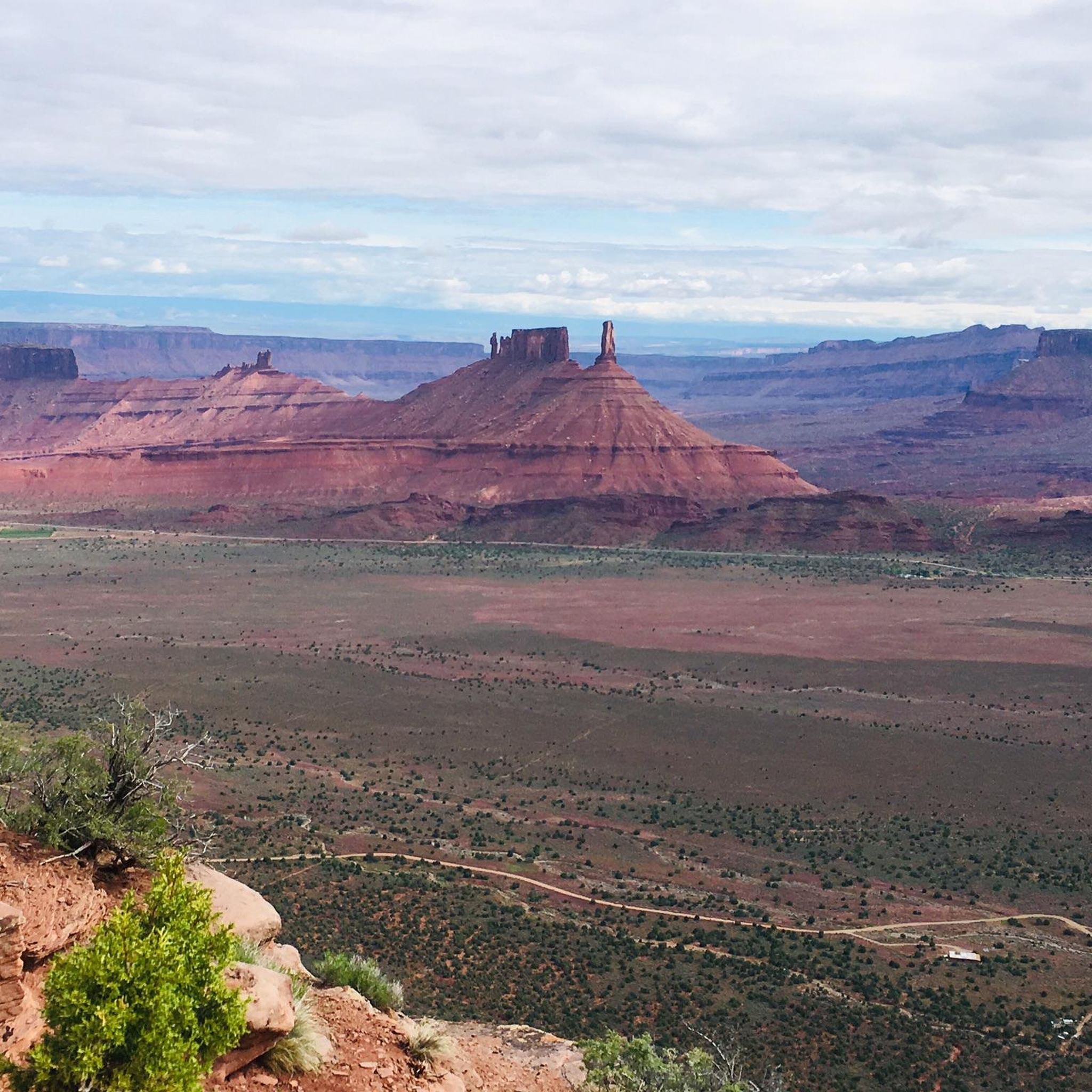
This is a breathtaking view point along Upper Porcupine Singletrack, with amazing views of the green valley surrounded by red stone towers. Take a moment and enjoy.
0
0

Use the features on the left side an find the best technical flow ever. If you on it, you will enjoy so much. S3 skills mandatory.
1
0
A must do when in Moab and for sure the best trail if you want to convince somebody to buy an ebike. Very physical. I have the feeling the altitude is counting twice in Moab.
0
0

The elevation gain is around 400 meters with many very steep climbs. Come to the trail well prepared.
1
0

The trailhead for the popular Grandstaff Canyon Trail, which takes you to Morning Glory Natural Bridge, begins at the mouth of Grandstaff Canyon, about 3 miles from the junction of US 191 and Highway 128. There is limited parking to be sure to get there early to ensure you get a spot!
0
0

Hawks Glide, located within the Sand Flats Recreation Area and forming part of the Raptor Route, links the Eagle Eye trail to the Falcon Flow trail. It's suggested to ride Hawks Glide downhill, starting from Eagle Eye and heading towards Falcon Flow. For climbing, you can opt for ascending via Sand Flats Road or taking the Porcupine Rim Trail up to Lazy Mans Road. The trail offers a comparable terrain and level of technical challenge to both Eagle Eye and Falcon Flow, presenting an intermediate difficulty with occasional advanced segments. The most breathtaking views are best appreciated when you pause to soak them in. Measuring between 18 to 24 inches in width, the single track mainly traverses softer soil, occasionally transitioning to sandy patches. Along the way, expect intermittent rough sections and encounter some of the region's most impressive rock features, crafted by the skilled Moab Trail crew.
0
0
Frequently Asked Questions
What kind of terrain can I expect on mountain bike trails in Mill Creek Canyon Wilderness Study Area?
The trails feature a diverse desert environment, including expansive Navajo sandstone formations, often referred to as 'slickrock,' which provides exceptional grip. You'll also encounter singletracks winding through pinyon-juniper vegetation, along sheer canyon walls, and through lush riparian zones near perennial streams.
How many mountain bike trails are available in Mill Creek Canyon Wilderness Study Area?
There are over 50 mountain bike routes available in the Mill Creek Canyon Wilderness Study Area, offering a wide range of experiences for different skill levels.
Are there trails suitable for beginners or families in Mill Creek Canyon Wilderness Study Area?
While many trails are challenging, there are a few options suitable for less experienced riders. For example, the area offers 4 easy and 7 moderate routes. The Raptor Route is a moderate option that provides varied terrain through the canyon landscape.
What are the most challenging mountain bike trails in the area?
The Mill Creek Canyon Wilderness Study Area is known for its difficult routes, with 42 trails rated as challenging. Notable difficult trails include the Porcupine Rim Singletrack – Slickrock Trailhead loop from Porcupine Rim West Trailhead, which features significant elevation changes and panoramic canyon views, and the Slickrock Trailhead – Slickrock Trail loop from Hell's Revenge, leading through iconic Navajo sandstone formations.
Are there any scenic viewpoints or natural landmarks along the mountain bike trails?
Yes, many trails offer breathtaking panoramic views, including distant vistas of the snow-capped La Sal Mountains. The region also features impressive geological wonders like Cliffhandle Arch and Otho Natural Bridge. Some routes, such as the Porcupine Rim Singletrack, are particularly renowned for their expansive canyon views.
Can I see waterfalls or swimming holes while mountain biking?
While the popular Mill Creek Canyon Waterfall trail is primarily for hikers, the area's perennial streams do create lush riparian zones and offer opportunities for stream crossings along some mountain bike routes. The region is known for its waterfalls and swimming holes, which can be a refreshing reward after a ride.
Are there any historical or cultural sites to see?
Yes, the Mill Creek Trail, which runs through the canyon, features ancient rock art, offering a glimpse into the history of human presence in the region. While not all mountain bike trails pass directly by these sites, they are part of the broader Mill Creek Canyon experience.
What do other mountain bikers enjoy most about the trails in Mill Creek Canyon Wilderness Study Area?
The area is highly rated by the komoot community, with an average score of 4.8 stars from over 50 reviews. Riders frequently praise the unique Navajo sandstone formations, the challenging and diverse terrain, and the stunning panoramic views, especially those of the La Sal Mountains.
Are there any circular mountain bike routes available?
Yes, there are several loop options for mountain bikers. An example is the Hawks Glide Trail loop from Porcupine Rim West Trailhead, which offers a moderate ride through varied landscapes.
What is the best time of year to go mountain biking in Mill Creek Canyon Wilderness Study Area?
The region experiences a desert climate. Spring and fall generally offer the most pleasant temperatures for mountain biking, avoiding the extreme heat of summer and potential winter conditions. Always check local weather forecasts before heading out.
Are permits required for mountain biking in the Mill Creek Canyon Wilderness Study Area?
For specific regulations regarding permits or access, it's always best to consult the official land management agency. You can find more information on the Bureau of Land Management's website for the Mill Creek Canyon WSA: blm.gov.
Can I bring my dog on the mountain bike trails?
Regulations regarding dogs can vary within wilderness study areas. It is advisable to check the specific rules and guidelines for Mill Creek Canyon Wilderness Study Area on the official Bureau of Land Management website to ensure compliance and responsible pet ownership. blm.gov.
Most popular routes in Mill Creek Canyon Wilderness Study Area

Get inspired with the komoot mobile app


Explore more
Browse the best MTB trails in other regions.
