The best running trails in Loma Alta Open Space Preserve
3.5
(2)
320
runners
48
runs
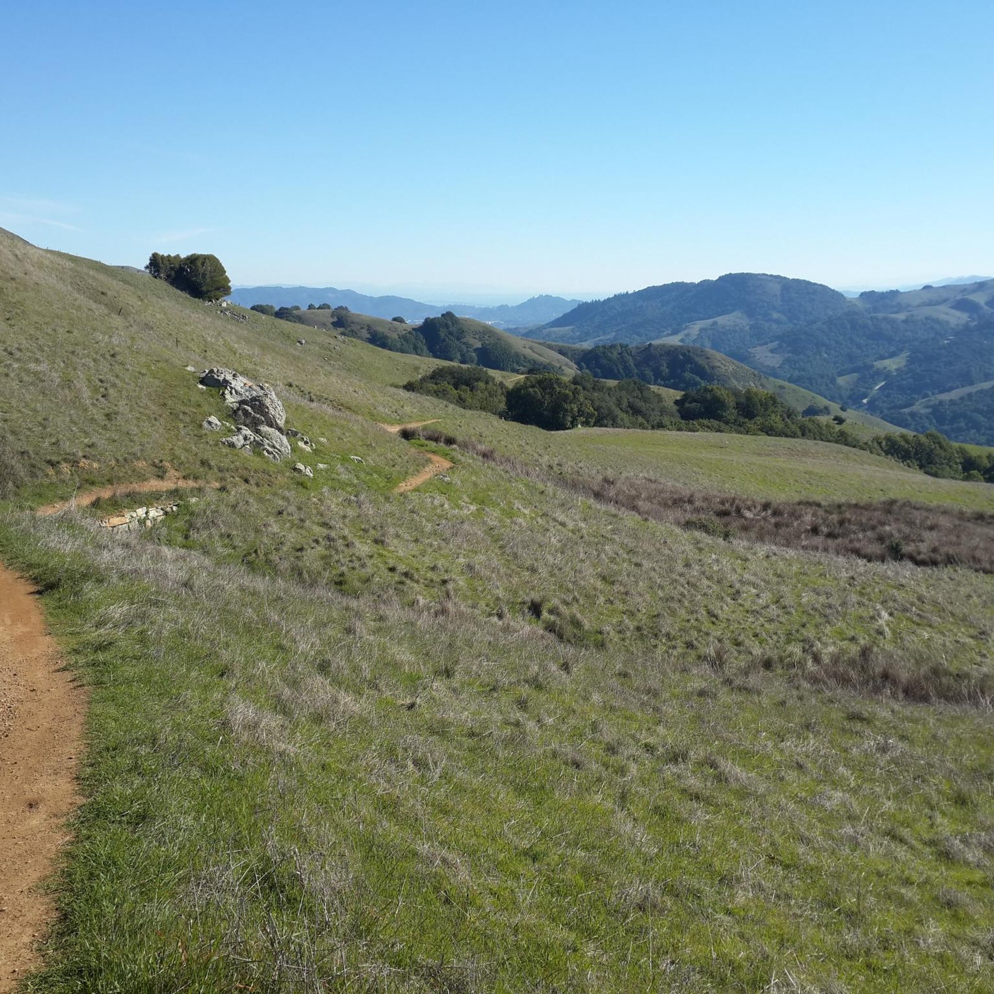
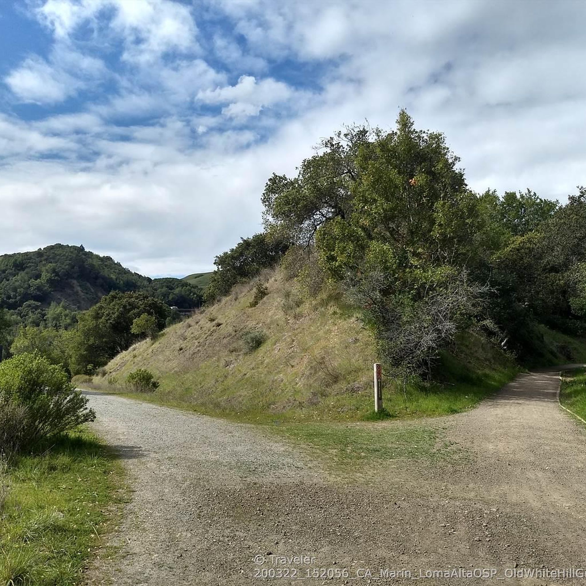
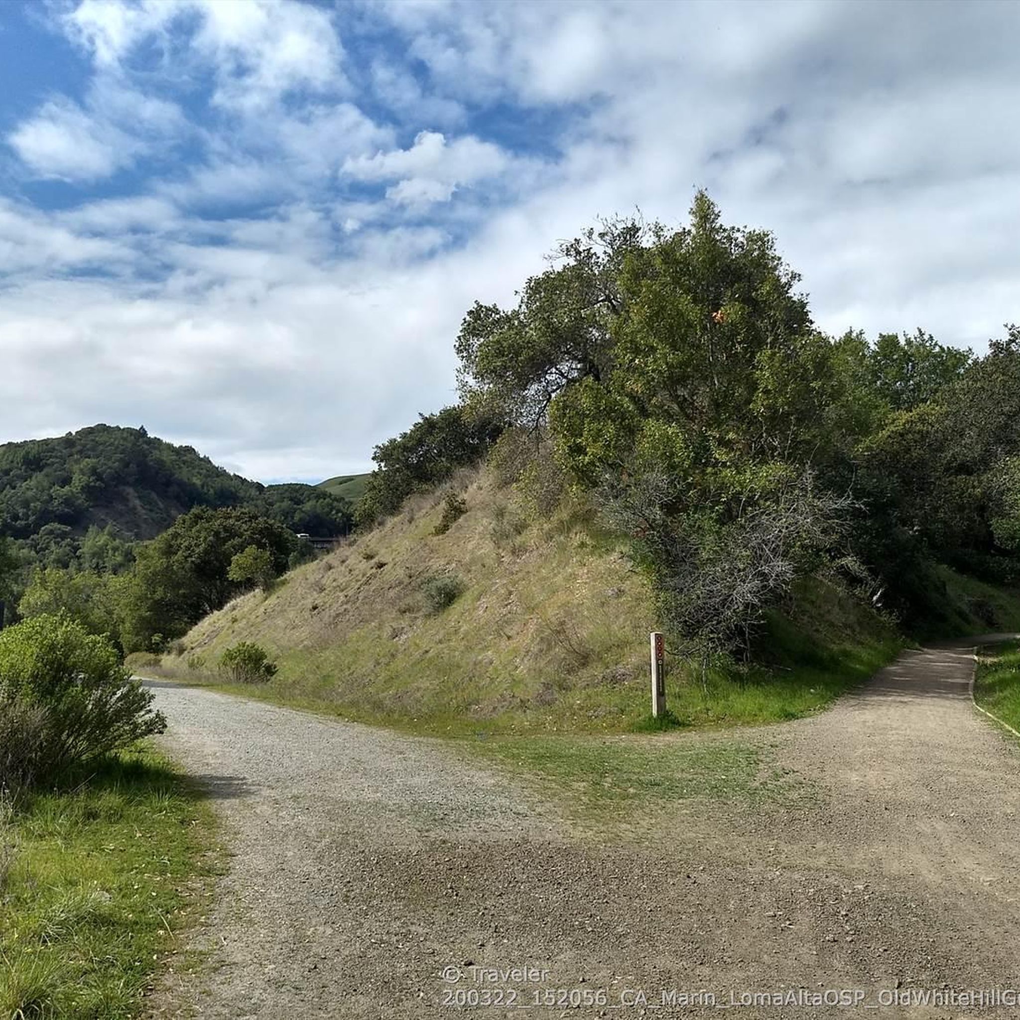
Jogging in Loma Alta Open Space Preserve offers diverse landscapes for runners. The region is characterized by expansive open grasslands, dense California bay woods, and woodlands featuring white and coast live oaks. The terrain includes canyons and creekbeds, providing varied topographical interest. Trails range from easy grades to challenging climbs, with significant elevation gains available for more rigorous workouts.
Best jogging routes in Loma Alta Open Space Preserve
- The most popular jogging route is Big Rock Ridge Trail, a…
Last updated: July 8, 2026
7
runners
10.8km
01:26
350m
350m
Hard run. Very good fitness required. Mostly paved surfaces. Suitable for all skill levels.
11
runners
11.9km
01:38
400m
400m
Hard run. Very good fitness required. Mostly paved surfaces. Suitable for all skill levels.

Sign up for free
11.0km
01:46
680m
670m
Hard run. Very good fitness required. Mostly paved surfaces. Suitable for all skill levels.
15.2km
02:08
660m
660m
Hard run. Very good fitness required. Mostly accessible paths. Some sure footedness required.
23
runners
27.7km
03:42
1,050m
1,050m
Hard run. Very good fitness required. Mostly paved surfaces. Suitable for all skill levels.
Get access to more routes and recommendations from other explorers.
Sign up for free
Already have an account?
Our route recommendations are based on thousands of hikes, rides, and runs completed by other people on komoot.
Start today with a free account
Your next adventure awaits.
Login or Signup
Tips from the Community


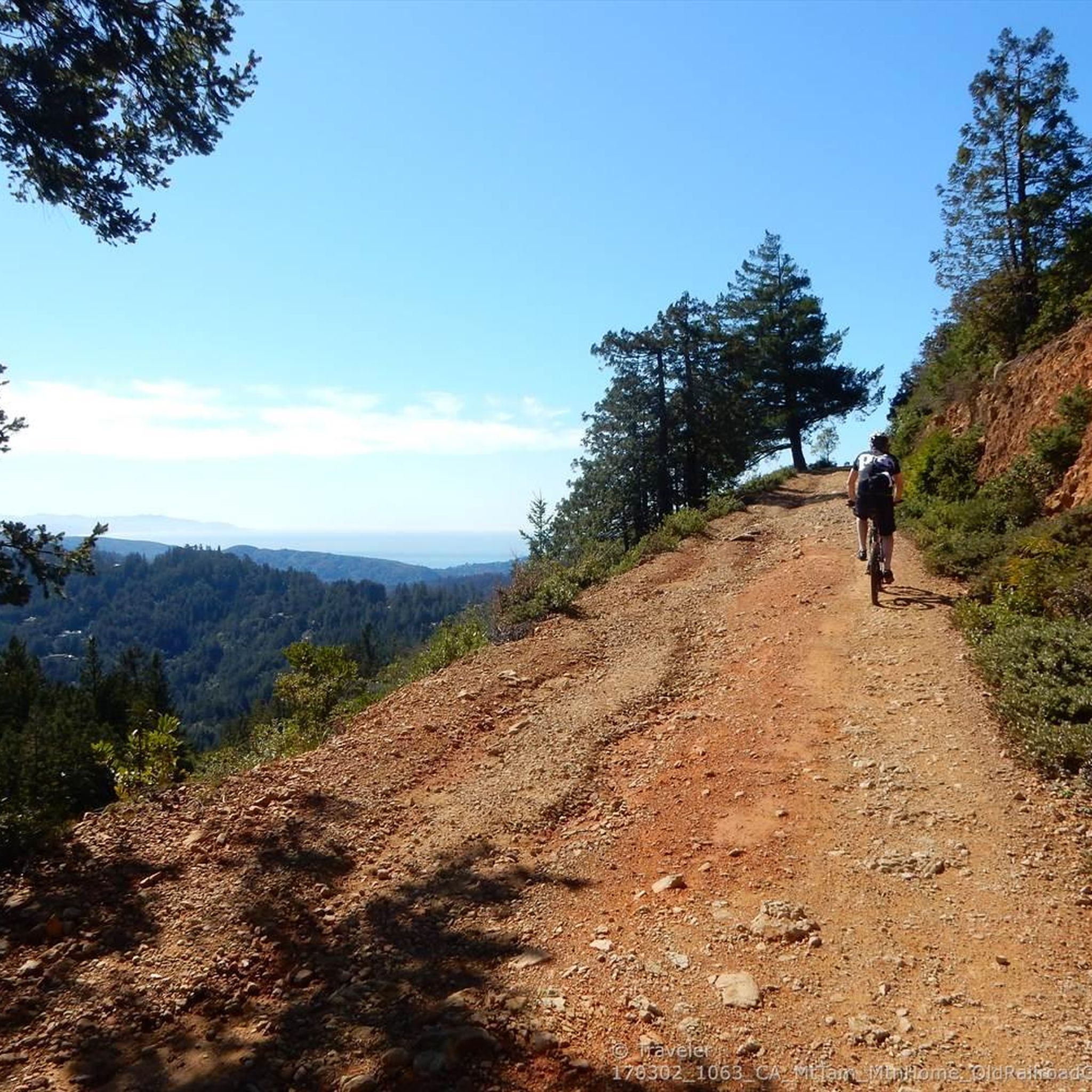
This broad, flat fire road climbs gradually with magnificent views of the San Francisco Bay, Mount Tamalpais and Mount Diablo in the distance. The surrounding ridges of the path and many wildflowers along the way offer multiple photo opportunities along the way. The loop at the top is an excellent place to take a break and enjoy the beautiful views.
0
0

Embark on an adrenaline-fueled mountain biking adventure through Big Rock. The trail reaches its peak at the towering landmark, a colossal rock that adds a unique touch to the experience. Exercise caution on the descent; the pavement can get slippery, adding an exhilarating challenge to this thrilling ride.
0
0
Big Rock Ridge, a striking ridge near Novato, California, standing as Marin County's second-tallest peak. Spanning 5 miles from northwest to east, it creates a natural boundary for central and southern Marin County. Named after the rock at the base of Big Rock Trail, this ridge promises awe-inspiring views and invigorating trails.
0
0
This broad, flat fire road climbs gradually with magnificent views of the San Francisco Bay, Mount Tamalpais and Mount Diablo in the distance. The surrounding ridges of the path and many wildflowers along the way offer multiple photo opportunities along the way. The loop at the top is an excellent place to take a break and enjoy the beautiful views
0
0

Big Rock Trail cuts through Lucas Valley Open Space to reach the 2nd highest point in Marin County. From later winter through early summer the hills are verdant green and often covered in wildflowers. Bring plenty of water and a wide brimmed hat if it's a warm day as there is little shade, but this means the views are wide open and beautiful.
0
0
There is plenty of street parking at this trailhead, with the amazing Big Rock nearby to make it easy to spot. The Bay Area Ridge Trail runs along the ridgelines surrounding the San Francisco Bay area and spans over 500 miles of multi-use trails. This portion offers some of the best views of Marin and the city skyline.
0
0

Highest point on Big Rock Ridge Fire Road with panoramic views of the Bay, Marin county, and even across the East bay to Mt. Diablo and south to San Francisco. A short spur trail here leads to a point with slightly better views down over Skywalker Ranch and the Lucas Valley.
0
0
Frequently Asked Questions
How many running routes are available in Loma Alta Open Space Preserve?
Loma Alta Open Space Preserve offers a wide selection of trails for runners. You'll find over 50 distinct routes, ranging from moderate excursions to more strenuous climbs, ensuring options for various fitness levels.
What do other runners enjoy most about the trails in Loma Alta Open Space Preserve?
The komoot community highly rates the trails in Loma Alta Open Space Preserve, with an average score of 4.0 stars from 5 reviews. Runners frequently praise the diverse landscapes, from open grasslands to dense California bay woods, and the challenging elevation gains that provide a rewarding workout. Many also highlight the breathtaking panoramic views of the Bay Area.
Are there running routes for different fitness levels in Loma Alta Open Space Preserve?
Yes, the preserve caters to a range of fitness levels. While many routes are classified as difficult, such as the Big Rock Ridge Trail, there are also moderate options available. The network includes trails with easy grades for a less strenuous experience, as well as significant elevation gains for those seeking a rigorous workout.
What kind of views can I expect while jogging in Loma Alta Open Space Preserve?
Loma Alta Open Space Preserve is renowned for its breathtaking panoramic views. From various points, especially the summit, you can enjoy 'heavenly Bay Area views,' including vistas of Marin, Mount Tamalpais, and on clear days, even the San Francisco skyline. Sunrise and sunset are particularly recommended for these awe-inspiring sights.
Are there any notable natural features or landmarks to see along the trails?
Absolutely! The preserve features diverse natural settings, including expansive open grasslands, dense California bay woods, and woodlands with white and coast live oaks. You might also encounter canyons and creekbeds. During the rainy season, you could witness the seasonal Fairfax Falls cascading 25 feet. White Hill — Old Railroad Grade upper trailhead, Loma Alta is another notable point of interest.
Can I spot any wildlife while running in the preserve?
Yes, Loma Alta Open Space Preserve is home to various wildlife. The exposed grasslands are vital breeding grounds for birds like horned larks and western meadowlarks, while western bluebirds nest in forested canyons. You can also commonly see a variety of raptors hunting voles and gopher snakes on the open slopes.
Are dogs allowed on the jogging trails in Loma Alta Open Space Preserve?
Yes, dogs are welcome in Loma Alta Open Space Preserve. However, please be aware that leash rules apply on certain trails to ensure the safety and enjoyment of all visitors and wildlife.
Are there any family-friendly running options in Loma Alta Open Space Preserve?
While many routes offer significant elevation changes, the preserve does have trails with easier grades suitable for a less strenuous experience. For example, the Old Railroad Grade Fire Road runs along the lower perimeter and might be a good option for families looking for a more moderate run.
Are there any loop running routes in Loma Alta Open Space Preserve?
Yes, several excellent loop routes are available. A popular choice is the Loma Alta and Bay Area Ridge Trail Loop, which is about 9.4 miles (15.2 km) long and takes you through diverse woodlands and open areas. Another option is the Goat & Big Cat Trails loop — San Rafael, offering varied landscapes and elevation changes.
Where can I park when visiting Loma Alta Open Space Preserve for a run?
While specific parking lot names are not detailed, access points to the preserve typically offer parking. It's advisable to check local signage upon arrival for designated parking areas near trailheads like the White Hill Trailhead.
What is the best time of year to jog in Loma Alta Open Space Preserve?
The preserve offers unique experiences throughout the year. During the rainy season, you might witness seasonal waterfalls and lush greenery, though trails can be muddy. Late spring brings vibrant wildflower displays, especially in serpentine soil patches. Clear days offer the best panoramic views, particularly at sunrise or sunset. Be prepared for varying conditions depending on the season.
What are the typical running surfaces like in Loma Alta Open Space Preserve?
The preserve's trail network includes both fire roads and some wooded singletrack options, ensuring diverse running surfaces. You'll encounter everything from expansive open grasslands to dense California bay woods and canyons, providing varied topographical interest.
Most popular routes in Loma Alta Open Space Preserve
Most popular attractions in Loma Alta Open Space Preserve

Get inspired with the komoot mobile app


Explore more
Browse the best Running Trails & Routes in other regions.
