The best MTB trails in Loma Alta Open Space Preserve
4.6
(202)
1,579
riders
82
rides
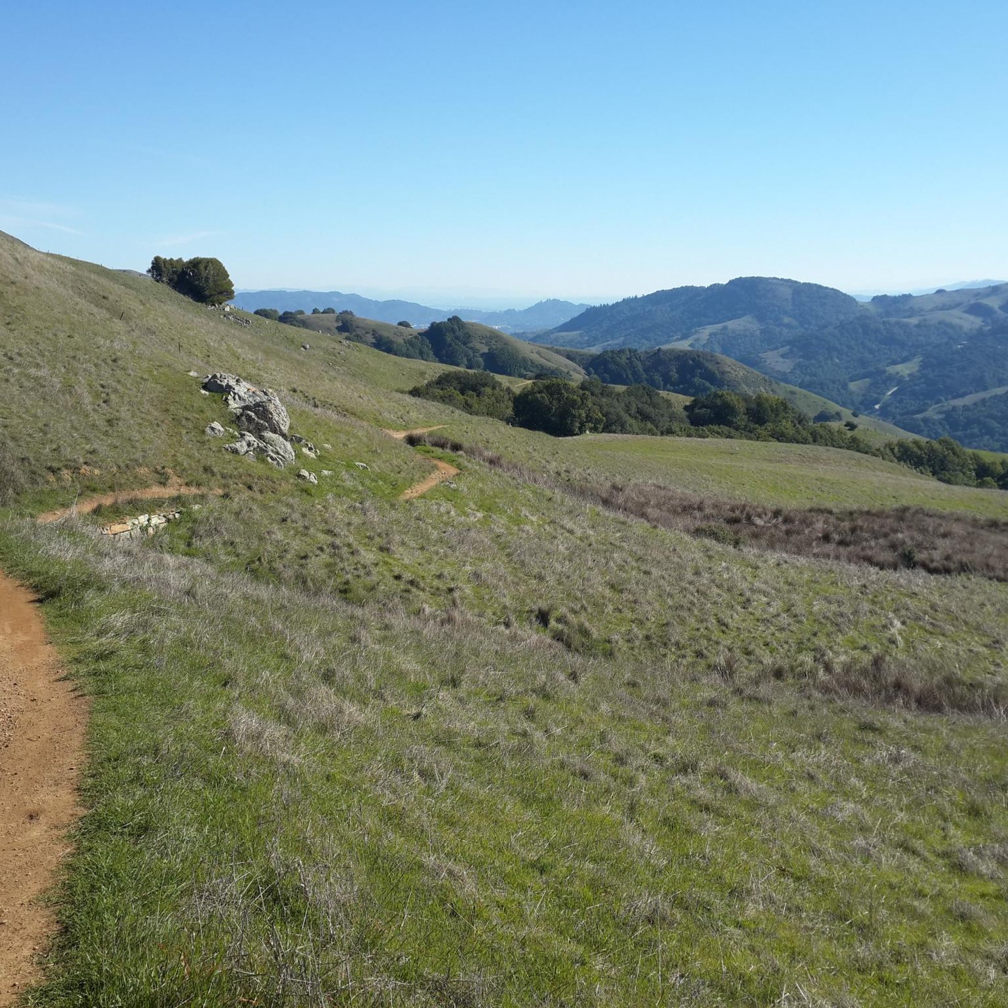
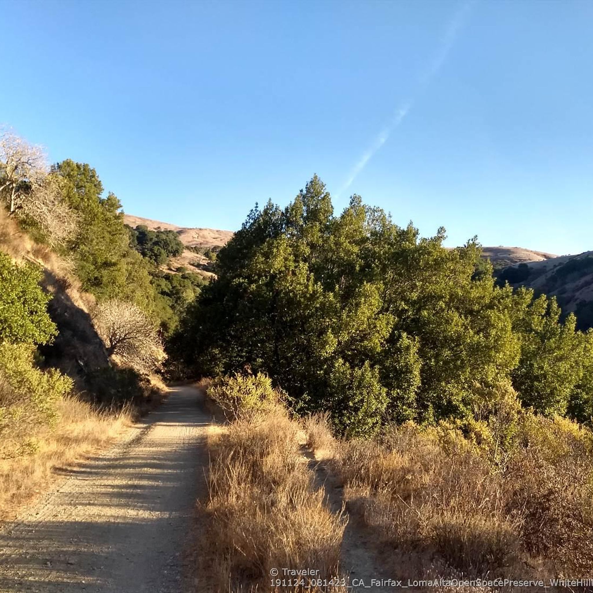
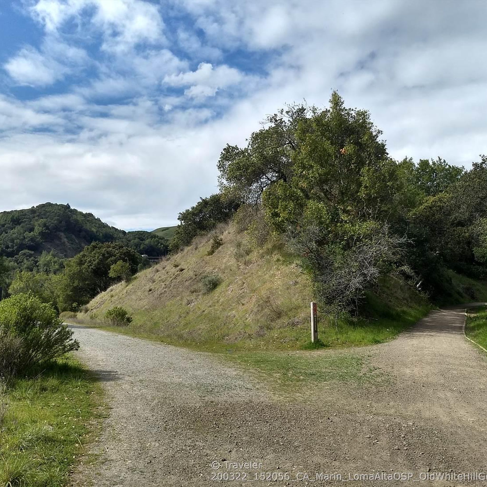
Mountain biking in Loma Alta Open Space Preserve offers a diverse trail network with varied terrain, from open grasslands to dense California bay woods. The preserve features an extensive system of fire roads and singletrack trails, providing different experiences for mountain bikers. As one of Marin County's higher elevations, Loma Alta provides challenging climbs and panoramic views of the surrounding region. The landscape includes significant watersheds and varied vegetation, making it an ecologically rich area for outdoor activity.
Best mountain bike trails in Loma Alta Open Space Preserve
- The most popular mountain bike trail is Hoo-Koo-E-Koo Fire Road Trail – Bon Tempe Dam loop from Fairfax, a 25.8 miles (41.6 km) trail that takes 4 hours 5 minutes to complete. This difficult route features fire roads with steady grades and expansive views.
- Another top favourite among local mountain bikers is Porcupine Trail loop from Woodacre, a moderate 4.8 miles (7.7 km) path. This route offers varied terrain, including wooded sections.
- Local mountain bikers also love the Marie Dhority Bridge – San Geronimo Valley Bikeway loop from Fairfax, a 27.7 miles (44.6 km) trail leading through diverse landscapes, often completed in about 2 hours 48 minutes.
- Mountain biking in Loma Alta Open Space Preserve is defined by fire roads, grasslands, and California bay woods, offering panoramic views. The network provides options for various ability levels.
- The routes in Loma Alta Open Space Preserve are highly rated by the komoot community with an average score of 4.6 stars from over 190 reviews. More than 1600 mountain bikers have used komoot to explore Loma Alta Open Space Preserve's varied terrain.
Last updated: July 8, 2026
16
riders
29.8km
02:38
640m
640m
Moderate mountain bike ride. Good fitness required. Suitable for all skill levels.
5.0
(1)
17
riders
13.3km
01:17
340m
340m
Moderate mountain bike ride. Good fitness required. Advanced riding skills necessary.

Sign up for free
4.0
(1)
9
riders
7.70km
00:53
240m
240m
Moderate mountain bike ride. Great for any fitness level. Advanced riding skills necessary.
5
riders
Easy mountain bike ride. Great for any fitness level. Suitable for all skill levels.
4.0
(1)
14
riders
47.4km
03:09
520m
520m
Moderate mountain bike ride. Good fitness required. Suitable for all skill levels.
Get access to more routes and recommendations from other explorers.
Sign up for free
Already have an account?
Our route recommendations are based on thousands of hikes, rides, and runs completed by other people on komoot.
Start today with a free account
Your next adventure awaits.
Login or Signup
Tips from the Community

An absolute must-see for cycling enthusiasts! This museum in Fairfax tells the story of nearly 200 years of cycling history, from 19th-century velocipedes to modern racing bikes. It's also home to the Mountain Bike Hall of Fame, featuring unique specimens and stories about the pioneers of mountain biking. The collection is impressive and authentic—no replicas, but real bicycles that showcase the evolution of technology and design. An inspiring place where you can truly feel the passion for cycling.
1
0


This town, nestled in the forested hills among unspoiled open space in Marin County, is a nice respite from the large nearby metropolis. It is a quirky, hip place with a small-town vibe filled with restaurants, music venues, and independent shops. Fairfax is home to many musicians who live here, and on any given night, you can find live music featuring local and national touring acts jamming in a relaxed, casual atmosphere. It has a very cycle-friendly culture, and be sure to take the time to visit the Museum of Bicycling while you are here!
2
0

Non-profit exhibit of some cool historic bikes, including some of the mountain bikes invented here
0
0

From easiest to hardest climbs out of phoenix lake from this junction: -Shaver Grade, easy grade, longer, shaded and pretty -Eldridge Grade, medium, good length and can connect you to mt tam east peak -Fish Grade fire road, very steep, we hiked the bikes
1
0
Great spot post hiking or biking, good beer, good vibes, great food, and vegan options!
0
0

Steeped in local history involving hikers, bikers, and equestrians Bill's Trail is now open to all users. After breathing in the lush forest air you see why all three groups fought so hard to access this beautiful trail.
0
0
Frequently Asked Questions
What types of terrain can I expect when mountain biking in Loma Alta Open Space Preserve?
Loma Alta Open Space Preserve offers diverse terrain, including extensive fire roads that wind through open grasslands and dense California bay woods. You'll also find woodlands with white and coast live oaks. The 680 Trail is notable for providing one of the few wooded singletrack experiences in the Marin County Open Space system.
Are there mountain bike trails suitable for beginners in Loma Alta Open Space Preserve?
Yes, Loma Alta Open Space Preserve has trails suitable for various skill levels. While many routes feature challenging climbs, there are also easier options. For example, the Glen Fire Rd Trailhead 🌳 – Fairfax Falls 🌊 loop from Fairfax is an easy 8.8-mile (14.2 km) route that offers a more gentle introduction to the preserve's trails.
What are the most challenging mountain bike trails in Loma Alta Open Space Preserve?
The preserve is known for challenging climbs that require good fitness and advanced riding skills. Difficult routes like the Hoo-Koo-E-Koo Fire Road Trail – Bon Tempe Dam 🚵 loop from Fairfax, which is 25.8 miles (41.6 km) with over 3,500 feet (1,070 m) of elevation gain, offer a significant workout. Some sections on challenging routes may even require pushing your bike.
What kind of views can I expect from the mountain bike trails?
As one of Marin County's highest peaks, Loma Alta offers spectacular 360-degree panoramic views. From the summit, you can often see the Richmond/San Rafael Bridge, San Pedro Mountain, Pam's Blue Ridge, White Hill, Mount Tamalpais, and on clear days, even the San Francisco skyline.
Are there any natural features or landmarks to look out for along the trails?
Yes, Loma Alta Open Space Preserve features several interesting natural elements and historical landmarks. You might encounter the Fairfax Falls 🌊, a seasonal waterfall cascading in a rocky grotto during winter and early spring. The Old Railroad Grade Trail is another notable feature, hinting at the area's historical use.
When is the best time of year to go mountain biking in Loma Alta Open Space Preserve?
The preserve offers enjoyable riding throughout much of the year. Winter and early spring can bring muddy conditions but also the chance to see seasonal waterfalls and impressive displays of wildflowers like buttercups, lupine, and poppies. Spring is particularly vibrant with wildflowers. During drier months, the trails are generally firm, though challenging climbs remain.
Is Loma Alta Open Space Preserve suitable for family mountain biking?
While many trails feature challenging climbs, there are options that families can enjoy. Look for routes described as 'easy' or 'moderate' to find paths with more gradual grades. The preserve's fire roads generally offer broader, multi-use paths that can be more comfortable for family rides, though some sections may still be demanding.
Can I bring my dog mountain biking in Loma Alta Open Space Preserve?
The preserve is generally dog-friendly, but it's important to check specific trail regulations regarding dogs, especially leash requirements. Always ensure your dog is under control and that you clean up after them to preserve the natural environment for all users.
Where can I park when visiting Loma Alta Open Space Preserve for mountain biking?
Parking is available at various trailheads around the preserve. Popular access points often have designated parking areas. For example, routes like the Camp Tamarancho Trailhead – B-17 crash site loop from Fairfax typically start from areas with parking facilities. It's advisable to check specific trailhead information for the route you plan to ride.
What kind of wildlife might I encounter while mountain biking?
Loma Alta Open Space Preserve is home to a variety of plant and animal species. You might spot raptors hunting voles and gopher snakes in the exposed grasslands. Western bluebirds nest in forested canyons, and the preserve is an important breeding site for birds like horned larks and western meadowlarks. Always maintain a respectful distance from wildlife.
How many mountain bike trails are available in Loma Alta Open Space Preserve?
There are over 70 mountain bike routes available in Loma Alta Open Space Preserve on komoot, offering a wide range of experiences from easy paths to challenging climbs. These routes are highly rated by the komoot community, with an average score of 4.7 stars.
Are there any loop mountain bike trails in Loma Alta Open Space Preserve?
Yes, many of the mountain bike trails in Loma Alta Open Space Preserve are designed as loops, allowing you to start and end at the same point. Examples include the Porcupine Trail loop from Woodacre and the Marie Dhority Bridge – San Geronimo Valley Bikeway loop from Fairfax, which connect to other open spaces as part of the Bay Area Ridge Trail system.
Most popular routes in Loma Alta Open Space Preserve
Most popular attractions in Loma Alta Open Space Preserve

Get inspired with the komoot mobile app


Explore more
Browse the best MTB trails in other regions.
