The best road cycling routes in Loma Alta Open Space Preserve
4.3
(93)
3,745
riders
60
rides
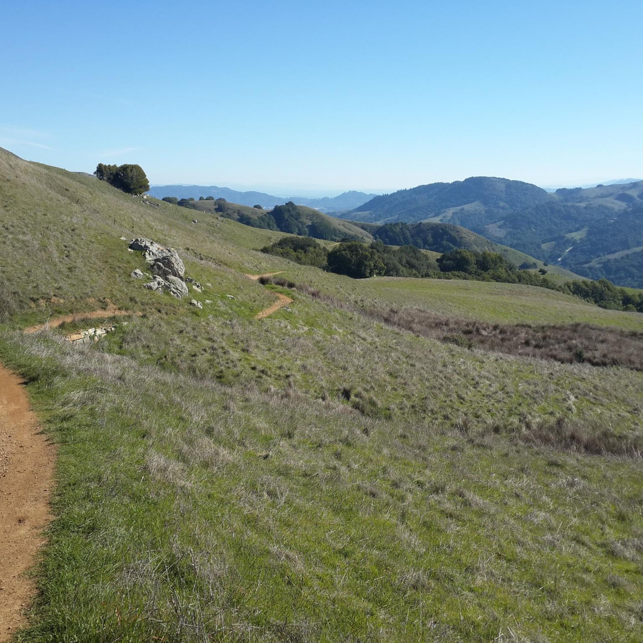
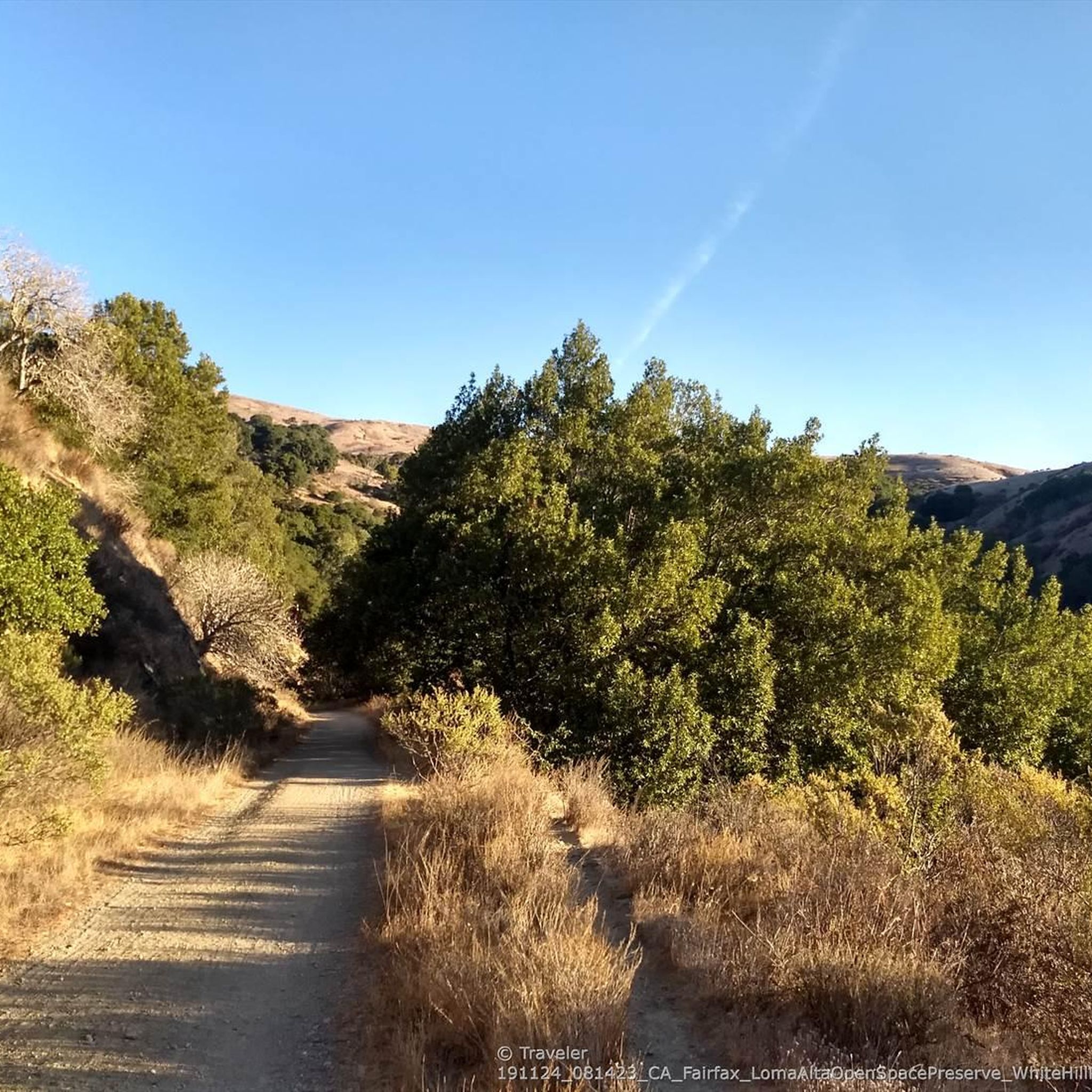
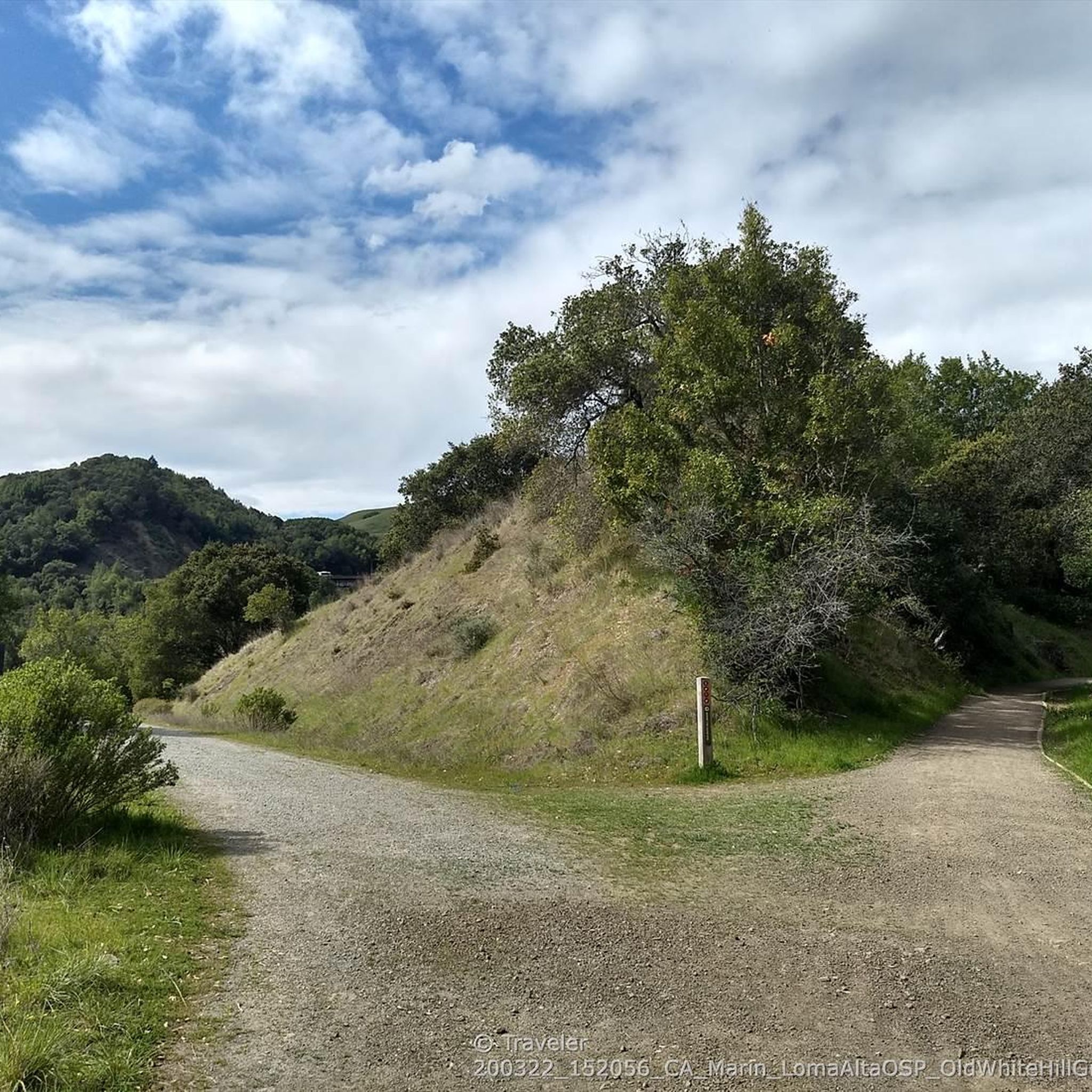
Road cycling routes in Loma Alta Open Space Preserve traverse a landscape characterized by rolling hills and varied elevations typical of Marin County. The preserve offers a mix of open terrain and tree-lined sections, providing diverse road cycling experiences. Riders can expect routes that navigate through natural open spaces, offering views of the surrounding region. The area's topography includes gradual ascents and descents, suitable for different levels of road cycling.
Best road cycling routes in Loma Alta Open Space Preserve
…Last updated: July 8, 2026
14
riders
23.1km
01:09
320m
320m
Moderate road ride. Good fitness required. Mostly well-paved surfaces and easy to ride.
284
riders
86.1km
03:51
750m
750m
Moderate road ride. Good fitness required. Mostly well-paved surfaces and easy to ride.

Sign up for free
29
riders
96.8km
04:37
1,180m
1,180m
Hard road ride. Very good fitness required. Mostly well-paved surfaces and easy to ride.
6
riders
9.47km
00:23
50m
50m
Easy road ride. Great for any fitness level. Mostly well-paved surfaces and easy to ride.
5.0
(3)
128
riders
108km
04:49
1,110m
1,110m
Hard road ride. Very good fitness required. Mostly well-paved surfaces and easy to ride.
Get access to more routes and recommendations from other explorers.
Sign up for free
Already have an account?
Our route recommendations are based on thousands of hikes, rides, and runs completed by other people on komoot.
Start today with a free account
Your next adventure awaits.
Login or Signup
Tips from the Community

An absolute must-see for cycling enthusiasts! This museum in Fairfax tells the story of nearly 200 years of cycling history, from 19th-century velocipedes to modern racing bikes. It's also home to the Mountain Bike Hall of Fame, featuring unique specimens and stories about the pioneers of mountain biking. The collection is impressive and authentic—no replicas, but real bicycles that showcase the evolution of technology and design. An inspiring place where you can truly feel the passion for cycling.
1
0


Huggin Corte Madera Creek this 3.5-mile, multi-use path is a great option for those looking for a mellow route. It passes through Hal Brown-Creekside Park, which is a good spot for a break.
0
0

The park pays homage to a 19th-century fishing village of Chinese immigrants who harvested shrimp from the bay. Much of the village has been preserved, and for a couple bucks you can pay to enter and explore the old town and pier.
1
0

Good supporter of Marin Biking and nice lot to start your ride from and have a beer after
0
0
Steep heading West can have traffic on SFD
0
0
Frequently Asked Questions
How many road cycling routes are available in Loma Alta Open Space Preserve?
Loma Alta Open Space Preserve offers over 50 road cycling routes, catering to a wide range of abilities and preferences. These routes navigate through varied terrain, from rolling hills to open grasslands.
What is the general difficulty level of road cycling routes in Loma Alta Open Space Preserve?
The routes in Loma Alta Open Space Preserve range from moderate to difficult. You'll find a good mix of gradual ascents and descents, with some routes featuring more significant elevation gains for experienced riders. For example, the Nicasio Reservoir – Nicasio loop from Marin County is a moderate option, while the Nick's Cove and Boat Launch – Tomales loop from Woodacre is considered difficult.
Are there beginner-friendly road cycling routes in Loma Alta Open Space Preserve?
While many routes feature rolling hills, there are options suitable for those looking for a less strenuous ride. Approximately 15 routes are classified as easy, offering a gentler introduction to road cycling in the preserve. These typically involve less elevation gain and shorter distances.
What are the typical distances for road cycling routes in Loma Alta Open Space Preserve?
Route distances vary significantly. You can find shorter loops, such as the Fairfax – Alpine Lake loop from Sleepy Hollow at around 30 miles (49 km), up to longer, more challenging rides like the Nick's Cove and Boat Launch – Tomales loop from Woodacre, which spans over 67 miles (107 km).
What can I see along the road cycling routes in Loma Alta Open Space Preserve?
Road cycling routes often provide scenic views of the surrounding region, including glimpses of Nicasio Reservoir and winding roads around Alpine Lake. You might also pass by points of interest such as Fairfax Falls or the White Hill — Old Railroad Grade upper trailhead.
Are there circular road cycling routes in Loma Alta Open Space Preserve?
Yes, many of the road cycling routes in Loma Alta Open Space Preserve are designed as loops, allowing you to start and end at the same point. Examples include the Nicasio Reservoir – Nicasio loop from Marin County and the Alpine Lake – Alpine Dam loop from Fairfax.
What is the best time of year for road cycling in Loma Alta Open Space Preserve?
The preserve is generally enjoyable year-round, but spring and fall often offer the most pleasant conditions with mild temperatures and less chance of extreme weather. Summers can be warm, while winters are typically mild but may bring rain.
Where can I find parking for road cycling in Loma Alta Open Space Preserve?
Parking is typically available at various trailheads and access points around the preserve. Specific parking details can often be found on individual route pages or local park websites. It's advisable to check the starting point of your chosen route for the most convenient parking options.
What do other road cyclists enjoy most about road cycling in Loma Alta Open Space Preserve?
The area is highly rated by the komoot community, with an average score of 4.5 stars from over 70 reviews. Reviewers often praise the diverse terrain, scenic views, and the mix of challenging climbs and enjoyable descents that define the road cycling experience here.
Are there any challenging road cycling routes for experienced riders?
Absolutely. For experienced riders seeking a challenge, routes like the Corte Madera Creek – Pantoll Road loop from San Rafael offer significant elevation gains and longer distances. These routes provide a rigorous workout amidst the preserve's beautiful landscapes.
What should I bring for a road cycling trip in Loma Alta Open Space Preserve?
It's recommended to bring plenty of water, especially on longer routes, as well as snacks. Essential gear includes a helmet, appropriate cycling attire, a repair kit, and a charged phone. Sun protection is also advisable due to open sections of the preserve.
Are there cafes or places to refuel near the road cycling routes?
While the preserve itself is natural open space, towns bordering Loma Alta, such as Fairfax and Woodacre, offer various cafes, restaurants, and stores where you can refuel before or after your ride. Many routes start or pass near these communities.
Most popular routes in Loma Alta Open Space Preserve
Most popular attractions in Loma Alta Open Space Preserve

Get inspired with the komoot mobile app


Explore more
Browse the best Road cycling routes in other regions.
