The best running trails in Grouse Mountain Regional Park
4.9
(42)
2,984
runners
135
runs
Jogging routes in Grouse Mountain Regional Park are characterized by steep mountain slopes and dense forests, primarily composed of towering Douglas firs. The terrain features a mix of surfaces, including loose gravel, well-maintained paths, and sections with roots and rocks, often alongside creeks and canyons. As runners ascend, they are rewarded with panoramic views of the city of Vancouver and surrounding mountain ranges. This environment provides a challenging and immersive experience for runners.
Best jogging routes in Grouse Mountain Regional Park
- The most popular jogging route is Running loop from Grouse Mountain Skyride Base, a 3.0 miles (4.9 km) trail that takes 1 hour 31 minutes to complete. This difficult route features a significant elevation gain of over 770 meters.
- Another top favourite among local runners is Little Goat Mountain – Goat Mountain loop from Grouse Mountain Skyride Base, a difficult 8.2 miles (13.2 km) path. This route offers substantial elevation gain, leading through mountain terrain with expansive views.
- Local runners also love the Grouse Mountain loop from Grouse Mountain Skyride Base, a 5.2 miles (8.5 km) trail leading through varied mountain landscapes with over 900 meters of ascent, often completed in about 2 hours 12 minutes.
- Jogging in Grouse Mountain Regional Park is defined by steep mountain slopes, dense forests, and panoramic views. The network offers options for different ability levels, including easy, moderate, and difficult running routes.
- The routes in Grouse Mountain Regional Park are highly rated by the komoot community with an average score of 4.9 stars from over 40 reviews. More than 4,500 runners have used komoot to explore Grouse Mountain Regional Park's varied terrain.
Last updated: June 29, 2026
77
runners
4.86km
01:32
780m
780m
Hard run. Very good fitness required. Sure-footedness, sturdy shoes and alpine experience required.
18
runners
27.9km
04:37
1,300m
1,300m
Hard run. Very good fitness required. Sure-footedness, sturdy shoes and alpine experience required.

Sign up for free
4
runners
Hard run. Very good fitness required. Sure-footedness, sturdy shoes and alpine experience required.
39
runners
34.3km
05:34
1,660m
1,660m
Hard run. Very good fitness required. Sure-footedness, sturdy shoes and alpine experience required.
17
runners
Hard run. Very good fitness required. Sure-footedness, sturdy shoes and alpine experience required.
Get access to more routes and recommendations from other explorers.
Sign up for free
Already have an account?
Our route recommendations are based on thousands of hikes, rides, and runs completed by other people on komoot.
Start today with a free account
Your next adventure awaits.
Login or Signup
Popular around Grouse Mountain Regional Park

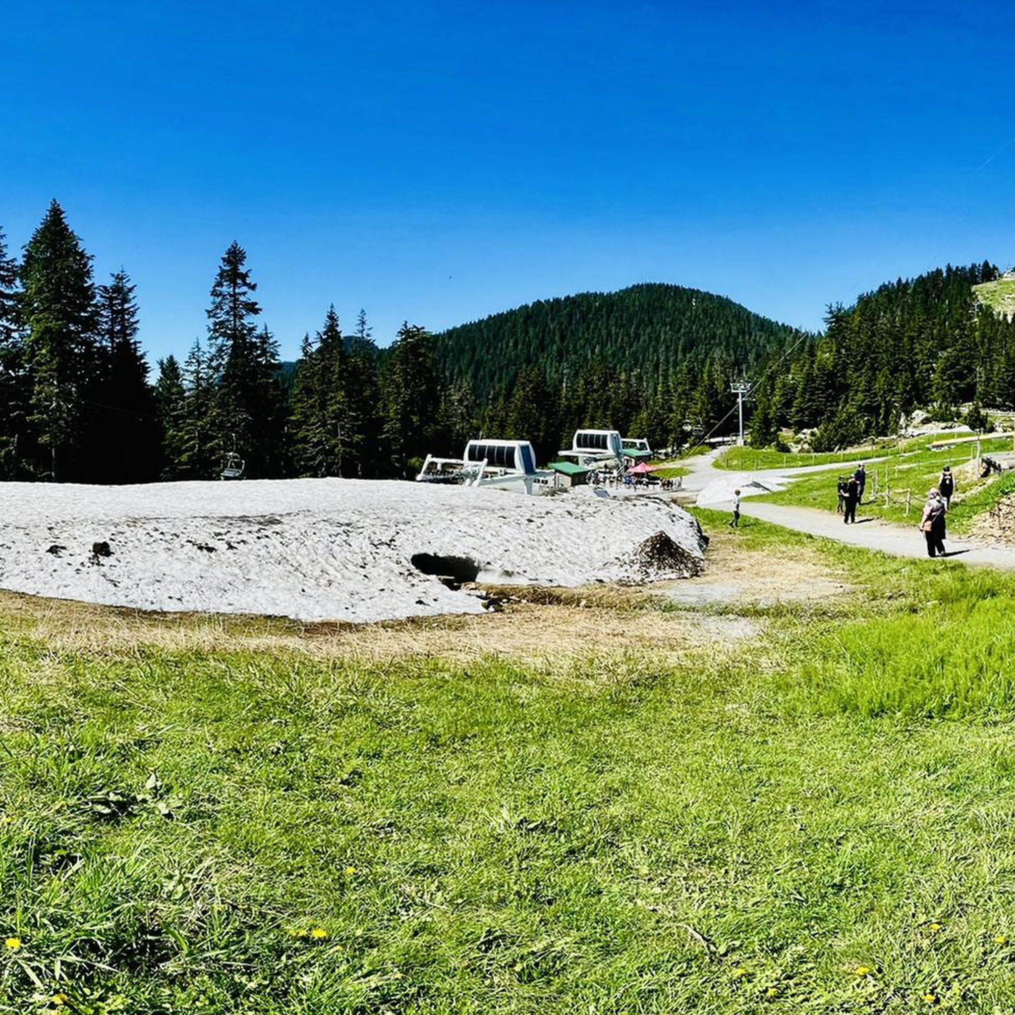
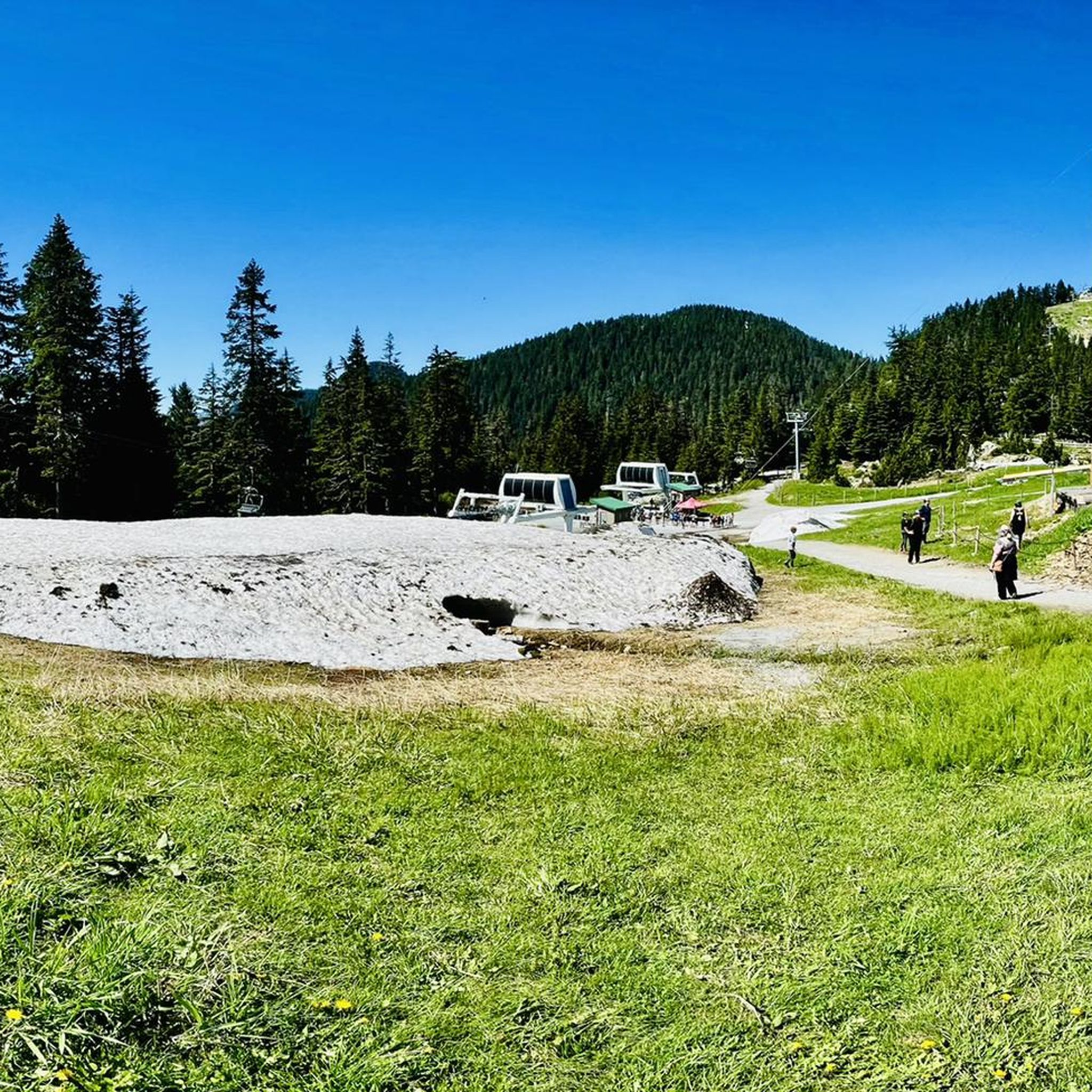
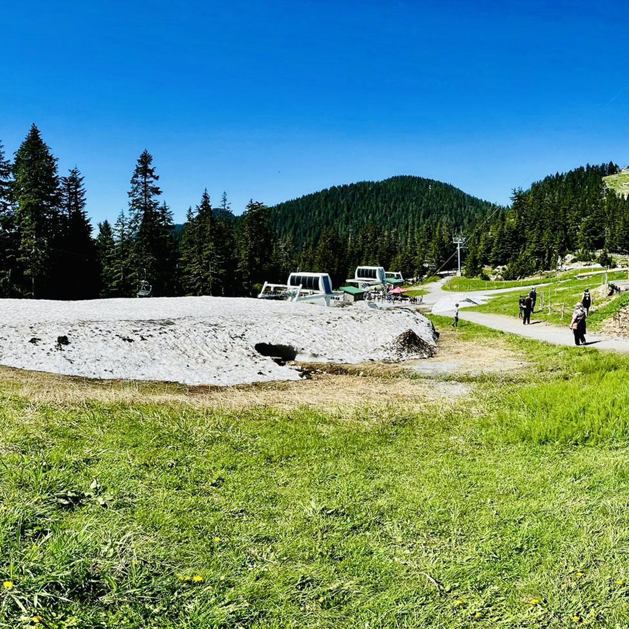
Other adventures in Grouse Mountain Regional Park

Tips from the Community

The Lynn Canyon suspension bridge is 40 metres long and was originally built in 1912. It is wide enough for two people to pass each other and is suspended 50 metres above the clear waters of Lynn Creek. The bridge will sway and shake, but take a peek over the edge for a breathtaking view.
1
0

The Varley Trail is a multi-use trail in North Vancouver consisting of mostly loose gravel. The trail offers plenty of great views as it winds along Lynn Creek.
0
0

Scary! It's wobbling everywhere.
3
0

To be clear, this is not the top of Grouse Mountain, but merely the furthest you can climb by bicycle on a paved road. Here, you'll find a parking lot, washrooms, a water dispenser, a coffee shop, and the base of the Skyride gondola. To get to the top of Grouse Mountain where the views and tourist attractions are, you'll need to either take a gondola ride, hike up the Grouse Grind Trail (https://komoot.com/smarttour/e1816863835), or hike the BCMC Trail (https://komoot.com/highlight/3718910). It is also possible to ride a bike to the top, not through here, but by taking Mountain Highway to the unpaved Grouse Mountain Highway.
0
0
Grouse Mountain Highway is also called Mountain Highway or Grouse Mountain Road. It is a service road popular with hikers, trail runners, and mountain bikers. Vehicle access is restricted to the public, but you may see the occasional service vehicle.
0
0


The Lynn Canyon Suspension Bridge has been the most famous tourist attraction in the park since its opening in 1912. It crosses Lynn Creek at a height of 50 meters and offers views of the mountain stream and a waterfall. Admission is free, however, parking at the Lynn Canyon Ecology Centre is subject to a fee during the months of March through October - $3 per hour. https://ecologycentre.ca/suspension-bridge/
3
0

After the strenuous climb, the cable car station at Grouse Grind offers you the opportunity to take the gondola back down to the starting point of the hike. It is best to book a ticket in advance. The trip down costs $20 for adults and $10 for children up to the age of twelve.
2
0
Frequently Asked Questions
What kind of terrain can I expect on running routes in Grouse Mountain Regional Park?
Jogging routes in Grouse Mountain Regional Park feature a diverse mix of surfaces. You'll encounter loose gravel, well-maintained paths, and sections with roots and rocks. Some trails also include boardwalks through muddy areas, and many run alongside creeks and canyons, offering varied conditions for your run.
How challenging are the running trails in Grouse Mountain Regional Park?
The running trails in Grouse Mountain Regional Park are generally quite challenging, known for their steep mountain slopes and significant elevation gains. While there are a few easier options, the majority of routes are classified as difficult. For example, the Running loop from Grouse Mountain Skyride Base is a difficult 4.9 km trail with over 770 meters of ascent.
Are there any easy running routes suitable for beginners in Grouse Mountain Regional Park?
While Grouse Mountain is known for its challenging trails, there are a few easier running options available. Out of 142 routes, 5 are categorized as easy. These routes offer a less strenuous experience while still allowing you to enjoy the park's natural beauty.
What natural features or viewpoints can I expect to see while running in Grouse Mountain Regional Park?
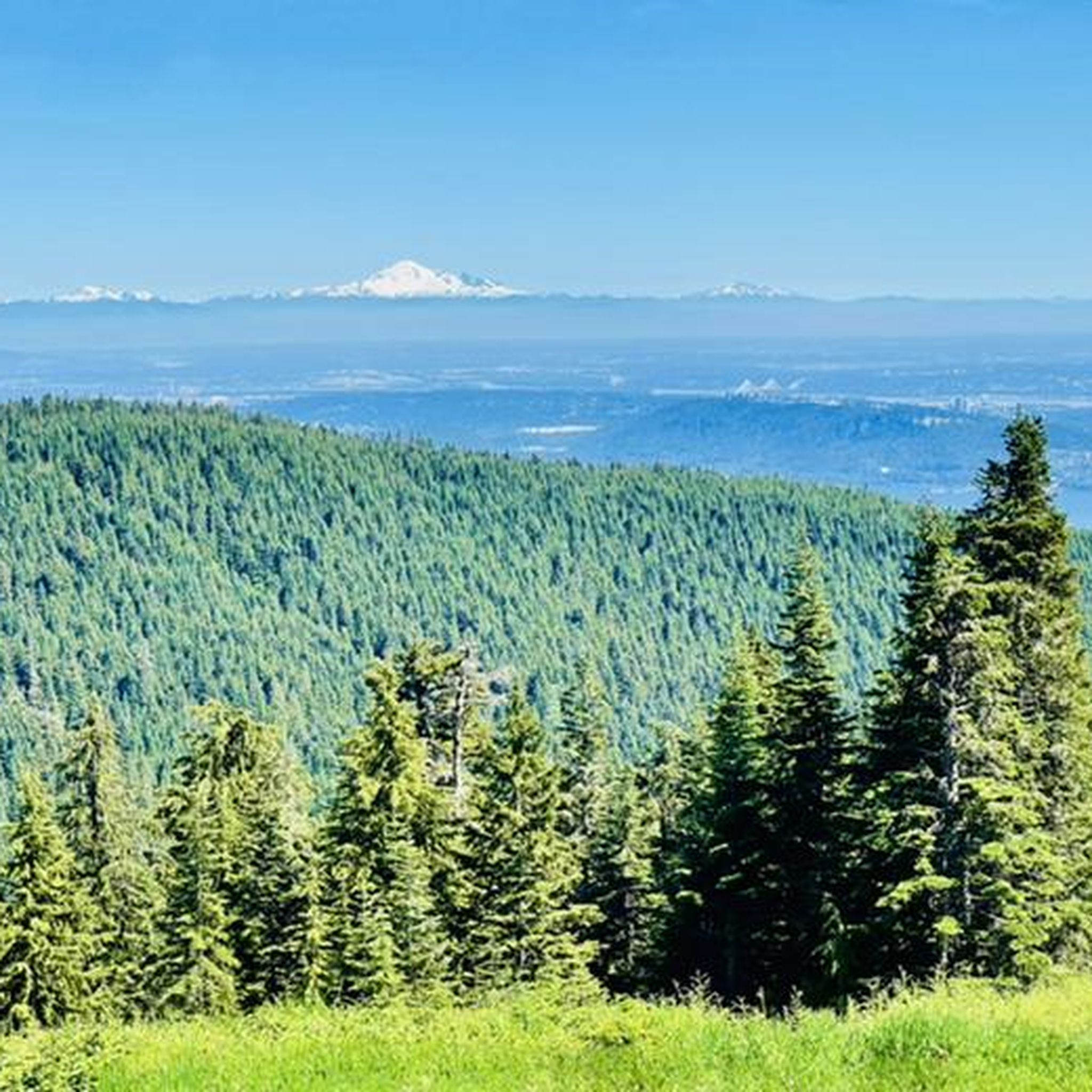
As you ascend the trails, you'll be rewarded with breathtaking panoramic views of the city of Vancouver, the Pacific Ocean, the Gulf Islands, and surrounding snow-capped mountain ranges. The routes also take you through dense, lush forests of towering Douglas firs, alongside creeks and canyons, and past features like moss-covered trees.
Is there parking available for joggers at Grouse Mountain Regional Park?
Yes, parking is available at the base of Grouse Mountain, near the Skyride Base. This serves as a common starting point for many of the running loops and trails within the park.
How can I get to Grouse Mountain Regional Park using public transport?
Grouse Mountain Regional Park is accessible via public transport from downtown Vancouver. You can take a bus that connects directly to the Skyride Base, making it convenient for runners without a car.
What is the best time of year to go running in Grouse Mountain Regional Park?
The best time to go running is typically during the warmer months, from late spring through early autumn, when trails are clear of snow and ice. During winter, some trails may be covered in snow, requiring specialized gear or making them inaccessible for running. Always check current trail conditions before heading out.
Are there any long-distance running loops in Grouse Mountain Regional Park?
Yes, for those seeking longer distances and significant elevation, there are several challenging loops. For instance, the Little Goat Mountain – Goat Mountain loop from Grouse Mountain Skyride Base covers 13.2 km with over 1,120 meters of elevation gain, offering expansive mountain views.
What do other runners enjoy the most about jogging in Grouse Mountain Regional Park?
The running routes in Grouse Mountain Regional Park are highly rated by the komoot community, with an average score of 4.9 stars from over 40 reviews. Runners often praise the challenging uphill climbs, the immersive experience of running through dense forests, and the spectacular panoramic views from higher elevations.
Are there any particularly strenuous running routes for advanced runners?
Absolutely. Grouse Mountain is famous for its exceptionally strenuous routes. The Grouse Mountain loop from Grouse Mountain Skyride Base is a difficult 8.5 km trail with over 900 meters of ascent, providing a rigorous workout through varied mountain landscapes.
Can I combine different trails to create a longer running experience?
Yes, the park offers a network of trails that can be combined. For example, the Grouse Mountain Highway Running Trail, a wide dirt road with significant elevation, can be used for uphill intervals and potentially combined with other descent routes to create varied loop runs.
Are there any specific trails that follow creeks or offer water features?
Yes, several trails offer scenic views along water features. The Baden-Powell Trail, in parts, runs through areas like Canyon Creek, featuring moss-covered trees. Additionally, the Varley Trail winds along Lynn Creek, providing picturesque views as you run.
Most popular routes in Grouse Mountain Regional Park

Get inspired with the komoot mobile app


Explore more
Browse the best Running Trails & Routes in other regions.
