The best walks and hikes in Underhill State Park
4.7
(50)
1,087
hikers
51
hikes
Hikes in Underhill State Park are characterized by their location on the western slopes of Mount Mansfield, Vermont's highest peak. The terrain features a network of trails that ascend through mixed hardwood and spruce-fir forests. Higher elevations open up to exposed rock faces and sections of alpine tundra near the summit ridge, offering routes with significant elevation gain.
Best hiking trails in Underhill State Park
- The most popular hiking route is Mt. Mansfield via Sunset Ridge loop — Mount Mansfield…
Last updated: August 18, 2026
4.9
(9)
132
hikers
10.8km
04:09
810m
660m
Prepare for a rewarding hiking experience on the Maple Ridge and Sunset Ridge Loop, a moderate route covering 6.7 miles (10.8 km) with a significant elevation gain of 2669 feet…
2
hikers
2.39km
01:00
330m
0m
Embark on the Cantilever Rock Trail for a moderate hiking experience that takes you through lush woodlands filled with sugar maples and yellow birches. You will navigate rocky and uneven…

Sign up for free
2.72km
01:28
560m
0m
Embark on a moderate hike up the Sunset Ridge Trail, a challenging ascent covering 1.7 miles (2.7 km) with a significant elevation gain of 1854 feet (565 metres). This route…
5.0
(9)
147
hikers
7.65km
03:21
730m
730m
Embark on the Mount Mansfield: Laura Cowles and Sunset Ridge Loop, a classic Vermont hike that takes you to the state's highest peak. This moderate 4.8-mile (7.6 km) route features…
11
hikers
Moderate hike. Good fitness required. Easily-accessible paths. Suitable for all skill levels.
Get access to more routes and recommendations from other explorers.
Sign up for free
Already have an account?
Our route recommendations are based on thousands of hikes, rides, and runs completed by other people on komoot.
Start today with a free account
Your next adventure awaits.
Login or Signup



Tips from the Community

Hold your head under it to refresh
0
0

Hiking Vermont Trails above 2500 feet is strongly discouraged until Memorial Day weekend because of erosionall damage Contact the Green Mountain Club at 802-244-7037 or email gmc@greenmountainclub.org or their website greenmountainclub.org
0
0

The Sunset Ridge Trail is one of the most scenic trails in Vermont and travels up southwestern side of Mt. Mansfield. This fantastic trail is relatively short and mostly above treeline. It offers phenomenal views of the Champlain Valley and the Mansfield ridge line and, as the name indicates, is exceptionally beautiful at sunset. There are several water crossings and scenic outcroppings scattered along this enjoyable trail as you hike up toward Mt. Mansfield.
0
0
You can reach Cantilever Rock via a short spur trail off of the Sunset Ridge Trail. This unique rock juts precariously out off the side of an exposed cliff and is a nice, short detour as you make your way up or down the main trail.
0
0
Mansfield's Nose, or the Nose, is one of the most prominent features on the famous Mansfield ridge line. When looking at the ridge from the east or west, it looks like an elongated profile of a face, with each of the bumps and peaks named for a different part of the face. The Nose is comprised of a small rounded sub peak topped by huge rocky cliffs. There are several transmitter towers for regional radio and TV stations, and a small Visitor Center on the Nose, which is also accessible by a road (the Toll Road). The Nose is a great place to start your hike if you want to get up to the beautiful, unique Mansfield ridge line but maybe want to skip some of elevation to save your energy for exploring the unique alpine environment; Mt. Mansfield is one of only three spots in the state where alpine tundra survives from the Ice Ages. Whether you're just starting your hike or passing by the amazing rocky cliffs on a longer hike, the Nose is a fantastic place to pause, take some photos and admire the views.
0
0
The Forehead is the southernmost named sub peak on the ridge line of Mt. Mansfield. Mansfield's Forehead, or simply, "The Forehead," gets it name from the idea that the the long, exposed ridge line of Mt. Mansfield looks like the profile of a man's face lying down. Standing at 3,940 feet, the Forehead is a great place to take in the views up the Mansfield ridge line to the north. Mt. Mansfield is one of two places where Arctic Tundra exists in Vermont so please try to stick on designated trails when traveling in this unique, beautiful area. From the "Forehead" here to the "Adam's Apple," which is a little over 2 miles to the south, the trail almost entirely above treeline, so please check conditions before traveling in this incredible area.
0
0
Supposedly, the long, exposed ridge line of Mt. Mansfield, the tallest mountain in Vermont, looks like the profile of a man's face. This particular feature is known as Mansfield's Lower Lip. From the Lower Lip you get great views down the long, exposed ridge line that comprises Mt. Mansfield.
0
0
The small sub peaks and bumps off of Mt. Mansfield are all named for different facial features; supposedly, the long ridge line of Mansfield looks like the profile of a man's face lying down. This particular feature is known as Mansfield's Upper Lip, or simply, the Upper Lip. This rocky band of cliffs is quite prominent on the exposed ridge line and is a great feature to snap some photos of as you continue your hike in the alpine tundra.
0
0
Frequently Asked Questions
Where can I park for hikes in Underhill State Park?
The primary access for trails is the parking lot at Underhill State Park, located at 352 Mountain Rd, Underhill, VT 05489. This lot is the starting point for the main trails up Mount Mansfield. It's a popular location, so arriving early is recommended, especially on weekends and holidays. Note that there is an entry fee for the park.
Are dogs allowed on the trails in Underhill State Park?
Yes, dogs are permitted in Underhill State Park, but they must be kept on a leash at all times. Be aware that some of the more strenuous routes involve steep, rocky scrambles and ladders that may be challenging for dogs. It's also crucial to keep your dog on the trail to protect the fragile alpine vegetation found at higher elevations.
What is the best time of year to hike in Underhill State Park?
The prime hiking season is from late spring to early fall, typically late May through October. This period offers the best trail conditions and weather. Fall is particularly popular for its spectacular foliage. Winter hiking is possible for experienced and properly equipped hikers, as trails will be covered in snow and ice. Always check trail conditions before you go, as weather on Mount Mansfield can change rapidly.
How many hiking trails are there in Underhill State Park?
There are over 40 designated hiking trails to explore within Underhill State Park. These range from short, easy walks through the forest to strenuous, difficult climbs to the summit of Mount Mansfield, offering a wide variety of options for different fitness and experience levels.
Are there any circular or loop hikes available?
Yes, the park is well-suited for loop hikes. Many trails can be combined to create a circular route, allowing you to experience different terrain on your ascent and descent. A great example is the Mt. Mansfield via Sunset Ridge loop, which combines a scenic ridgeline with a forested path.
How difficult is the Laura Cowles Trail?
The Laura Cowles Trail is considered one of the most difficult and direct routes to the summit of Mount Mansfield from the west. It is a very steep, rugged, and often wet trail that follows a ravine. It is recommended only for experienced hikers who are comfortable with strenuous, challenging terrain. It is often used as a descent route in combination with other trails.
What makes the Sunset Ridge Trail so popular?
The Sunset Ridge Trail is highly regarded for its incredible panoramic views. While still a challenging climb, it is more moderate than the Laura Cowles Trail. The route ascends through the forest before opening up onto an exposed, rocky ridgeline that offers spectacular vistas of Lake Champlain and the Adirondack Mountains, making the effort very rewarding.
How do I get to Cantilever Rock?
Cantilever Rock is a unique geological formation accessible via a short spur trail off the main Sunset Ridge Trail. To reach it, you'll start from the Underhill State Park parking area and follow the Sunset Ridge Trail upwards. Look for the signposted junction for the Cantilever Rock spur trail. The Cantilever Rock loop from Underhill State Park is a great moderate option focused on this feature.
Are there any less steep options to reach the summit ridge?
While all routes to the summit of Mount Mansfield from Underhill State Park involve significant elevation gain, the Sunset Ridge Trail is generally considered the least steep of the direct summit routes. For a longer but more gradual approach to the upper mountain, you could consider the Mount Mansfield Summit – Sunset Ridge Trail loop, which offers a varied ascent.
What do other hikers enjoy about Underhill State Park?
The park is highly rated by the komoot community, with an average score of 4.8 stars. Hikers frequently praise the challenging yet rewarding trails, the stunning 360-degree views from the summit ridge, and the unique experience of hiking through different ecosystems, from dense forests to the rare alpine tundra near the top of Mount Mansfield.
Can I go camping in Underhill State Park?
Yes, camping is available at Underhill State Park. The park offers several walk-in tent sites and rustic lean-to shelters, many of which were built by the Civilian Conservation Corps (CCC) in the 1930s. This allows you to stay overnight and get an early start on the trails. Reservations are highly recommended, especially during peak season.
Are there any trails with waterfalls in the park?
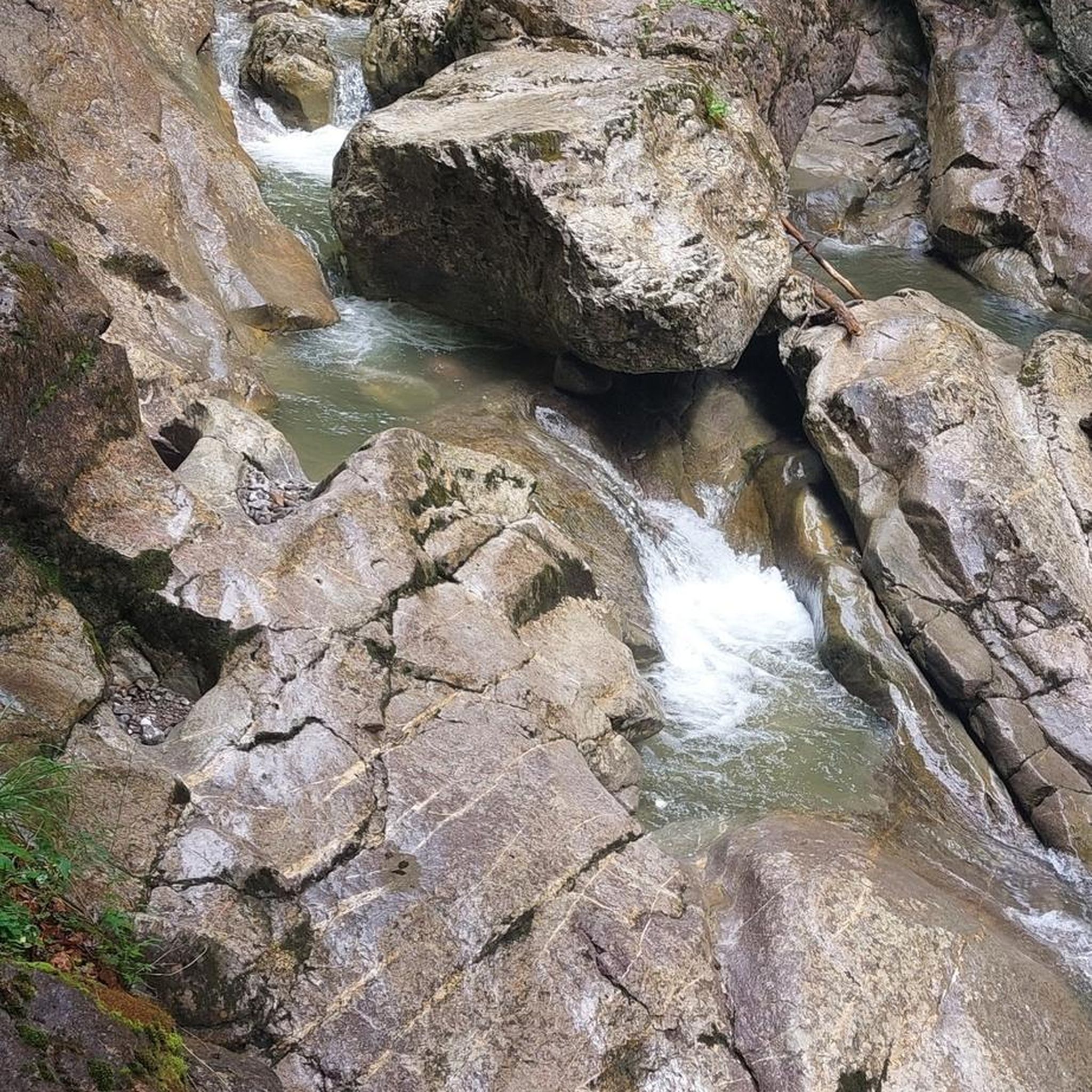
While the park's main attractions are the summit views and alpine zones, the trails do cross several mountain streams and brooks, especially at lower elevations. You'll encounter small cascades and water features along trails like the Laura Cowles Trail, which follows a ravine, but there are no major, named waterfalls directly on the main hiking routes within the park.
Most popular routes in Underhill State Park

Get inspired with the komoot mobile app


Explore more
Browse the best Hikes in other regions.
