The best walks and hikes in Gunpowder Falls State Park Springdale Area
4.6
(18)
302
hikers
60
hikes
Hiking in Gunpowder Falls State Park Springdale Area offers routes through a landscape characterized by broad, rolling ridges and deep, narrow stream valleys. This section of Gunpowder Falls State Park features dense woodlands and smaller streams that feed into the larger Gunpowder River system. The terrain provides varied hiking experiences, including elevation changes and explorations of intimate valley corridors.
Best hiking trails in Gunpowder Falls State Park Springdale Area
- The most popular hiking route is Merryman's Mill Trail Loop,…
Last updated: July 8, 2026
1.65km
00:27
10m
50m
Hike the easy 1.0-mile Blue Trail in Gunpowder Falls State Park, offering a peaceful walk through woods and along the river.
3.0
(1)
8
hikers
8.39km
02:16
110m
110m
Embark on the Merryman's Mill Trail Loop for a moderate hike spanning 5.2 miles (8.4 km) with an elevation gain of 358 feet (109 metres). This route typically takes around…

Sign up for free
9
hikers
6.57km
01:49
120m
120m
Easy hike. Great for any fitness level. Easily-accessible paths. Suitable for all skill levels.
4.0
(2)
5
hikers
5.03km
01:23
80m
80m
Moderate hike. Great for any fitness level. Mostly accessible paths. Sure-footedness required.
6
hikers
4.42km
01:16
100m
100m
Easy hike. Great for any fitness level. Easily-accessible paths. Suitable for all skill levels.
Get access to more routes and recommendations from other explorers.
Sign up for free
Already have an account?
Our route recommendations are based on thousands of hikes, rides, and runs completed by other people on komoot.
Start today with a free account
Your next adventure awaits.
Login or Signup


Tips from the Community

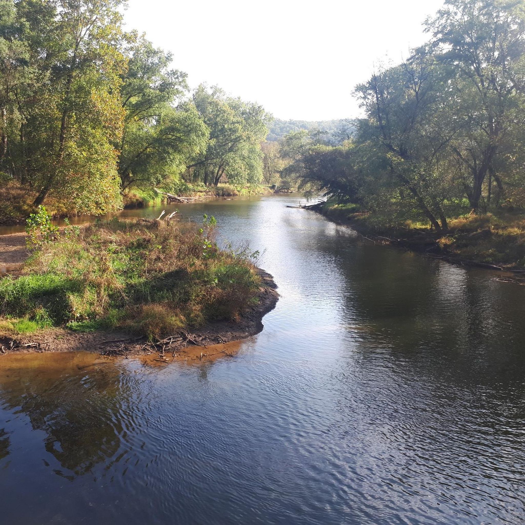
The trail crosses the creek here on an elevated stone outcrop from which the water cascades down a series of small falls until it spills into Loch Raven.
0
0

A little creek flowing over a series of little drops before entering the Loch Raven reservoir.
0
0
Frequently Asked Questions
How many hiking trails are available in Gunpowder Falls State Park Springdale Area?
The Gunpowder Falls State Park Springdale Area offers a diverse network of over 60 hiking trails. These include 40 easy routes and 21 moderate options, providing choices for various skill levels.
What kind of landscape can I expect to see while hiking in the Springdale Area?
Hikers in the Springdale Area will experience a distinctive landscape characterized by broad, rolling ridges and deep, narrow stream valleys. The trails often lead through dense woodlands and along smaller streams that feed into the larger Gunpowder River system, offering varied terrain and natural beauty.
Are there any easy or beginner-friendly hiking trails in the Springdale Area?
Yes, the Springdale Area is very welcoming for beginners and those looking for an easier hike. There are 40 easy trails available, such as the Blue Trail, which is just over 1.6 km long and features minimal elevation changes.
Are there any loop trails in Gunpowder Falls State Park Springdale Area?
Yes, the Springdale Area features several loop trails. A popular moderate option is the Merryman Ice House loop from Loch Raven Reservoir, which covers about 5 km and takes around 1 hour 20 minutes to complete.
What are the best times of year to go hiking in the Springdale Area?
The Springdale Area is enjoyable year-round, but spring and autumn are particularly pleasant for hiking. Spring brings lush greenery and blooming wildflowers, while autumn offers vibrant fall foliage. Summers can be warm and humid, so early mornings are recommended, and winters can be beautiful for a crisp walk, though some trails might be icy.
Are the trails in Gunpowder Falls State Park Springdale Area suitable for families with children?
Yes, with 40 easy trails, many routes in the Springdale Area are suitable for families. These trails typically have gentle gradients and shorter distances, allowing children to enjoy the natural surroundings. Always check individual trail details for specific suitability.
Can I bring my dog on the hiking trails in Gunpowder Falls State Park Springdale Area?
Generally, dogs are permitted on trails in Gunpowder Falls State Park, including the Springdale Area, but they must be kept on a leash. It's always a good idea to carry water for your pet and ensure they are comfortable with the trail conditions.
Are there any historical landmarks or points of interest in the Springdale Area?
Within the Springdale section of the park, you can find the Ravenwood Farm House, also known as the former Springdale-Ravenwood House. This historical structure is located at 13232 Jarrettsville Pike and offers a glimpse into the area's past.
What do other hikers enjoy most about the Springdale Area trails?
The trails in Gunpowder Falls State Park Springdale Area are highly rated by the komoot community, with an average score of 4.6 stars. Hikers often praise the tranquil woodlands, the scenic stream valleys, and the variety of routes that cater to different fitness levels.
Is there parking available at the trailheads in Gunpowder Falls State Park Springdale Area?
Specific parking information for individual trailheads within the Springdale Area can vary. It is generally advisable to consult official park maps or local resources for designated parking areas before your visit to ensure convenient access to your chosen trail.
Are there any trails with waterfalls in the Springdale Area?
While the Springdale Area features numerous smaller streams and stream valleys, for a trail specifically highlighting water features, local hikers enjoy the Little waterfall loop from Timonium. This 6.6 km trail leads through dense woodlands and past small water features.
What kind of wildlife might I encounter on the trails?
The dense woodlands and natural habitats of the Springdale Area are home to various wildlife. Hikers often have the chance to observe deer, foxes, and a wide array of bird species, especially in the quieter sections of the trails.
Most popular routes in Gunpowder Falls State Park Springdale Area

Get inspired with the komoot mobile app


Explore more
Browse the best Hikes in other regions.
