The best running trails in Mountain Bridge Wilderness Area
4.5
(2)
78
runners
17
runs
Jogging routes in Mountain Bridge Wilderness Area traverse a diverse landscape within the South Carolina Upcountry. The region is characterized by the rugged Blue Ridge Escarpment, featuring elevations ranging from 1,400 to 3,200 feet. Runners will find extensive hardwood forests, tumbling waterways, and numerous waterfalls. The Middle Saluda River, South Carolina's first designated scenic river, also flows through the backcountry.
Best jogging routes in Mountain Bridge Wilderness Area
- The most popular jogging route is View on Raven Cliff Falls loop…
Last updated: June 27, 2026
6
runners
6.25km
00:51
180m
180m
Moderate run. Good fitness required. Mostly paved surfaces. Suitable for all skill levels.
2
runners
9.87km
01:15
220m
220m
Moderate run. Good fitness required. Mostly paved surfaces. Suitable for all skill levels.

Sign up for free
3
runners
7.55km
00:57
160m
160m
Moderate run. Good fitness required. Mostly accessible paths. Some sure footedness required.
6.63km
00:51
130m
130m
Moderate run. Good fitness required. Mostly accessible paths. Some sure footedness required.
10
runners
13.7km
01:42
250m
250m
Moderate run. Good fitness required. Mostly paved surfaces. Suitable for all skill levels.
Get access to more routes and recommendations from other explorers.
Sign up for free
Already have an account?
Our route recommendations are based on thousands of hikes, rides, and runs completed by other people on komoot.
Start today with a free account
Your next adventure awaits.
Login or Signup

Tips from the Community

A couple of short spur trails lead to the base of Upper Grassy Falls. There are a couple connected cascades here creating a roughly 15-foot waterfall. This is one of the least visited waterfalls in DuPont State Recreational Forest and isn't too far from the car, making it a great option if you just want some peaceful time in nature.
0
0
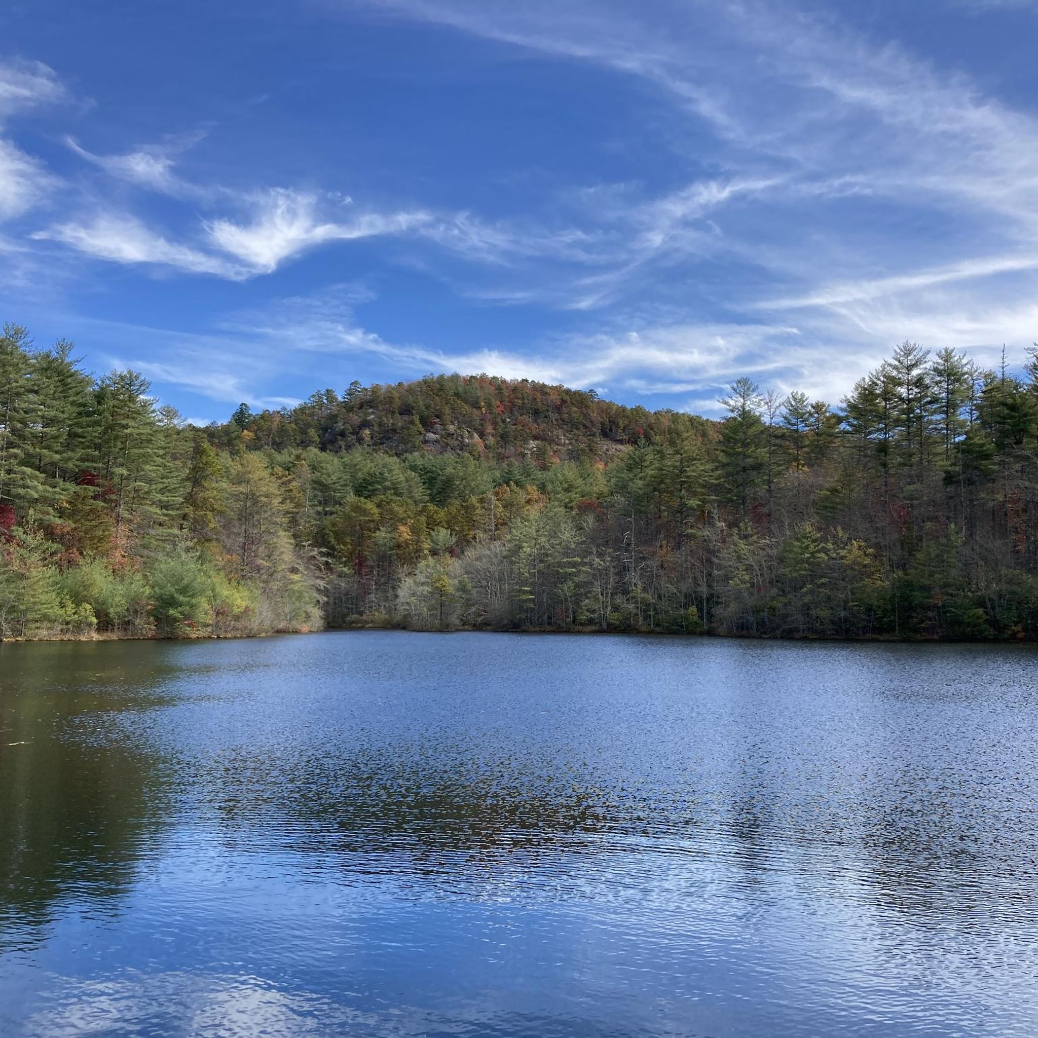
There is a pretty sweet view of Lake Julia from here where it feeds into Reasonover Creek. There is a lot of great singletrack next to the water, and Reasonover Creek Trail is probably the most popular. This trail stretches a lot further across DuPont State Recreational Forest.
0
0

Mine Mountain is a peak within Dupont State Forest that tops out at 3,090 feet in elevation. You can get good views of the peak along Mine Mountain Trail.
0
0

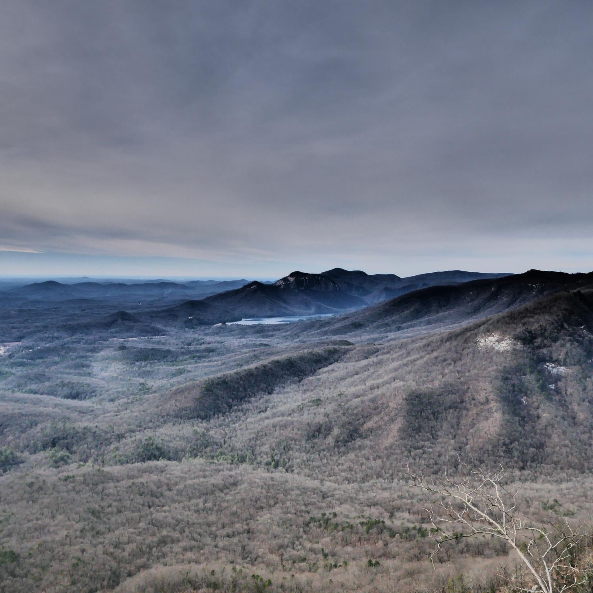
Although this isn't a close-up view, it's a great vantage point for taking in almost the entire length of the 400-foot-tall Raven Cliff Falls, named for the many different ravens that nest in the cliffs around the falls.
2
0
A couple short spur trails lead to the base of Upper Grassy Falls. There are a couple connected cascades here creating a roughly 15 foot waterfall. This is one of the least visited waterfalls in DuPont State Recreational Forest and isn't too far from the car, making it a great option if you just want some peaceful time in nature.
0
0
Even though it's one of the smallest falls in DuPont Forest, this private cascade is worth the short hike to get back to it. The Wintergreen Falls Trail is the most popular approach route, but there are a couple different trails that go to the falls. You can even make a loop hike out of the visit.
1
0

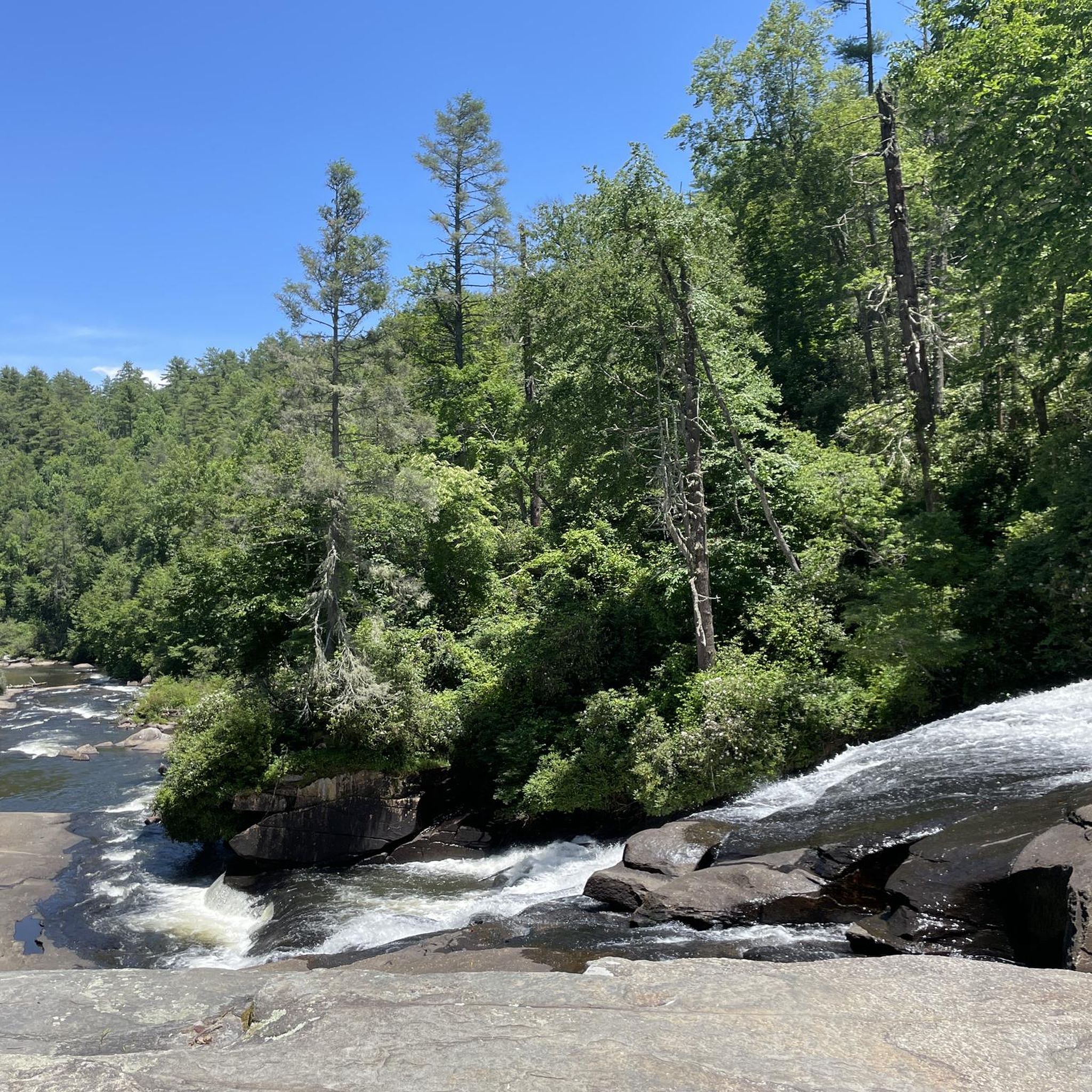
Grassy Creek's water runs through large flat rocks, creating beautiful and humble falls.
0
0

Frequently Asked Questions
How many running routes are available in the Mountain Bridge Wilderness Area?
The Mountain Bridge Wilderness Area offers a diverse network of 17 running routes, ranging from easy paths to more challenging trails. This extensive system connects Caesars Head and Jones Gap State Parks, providing over 50 miles of footpaths for runners.
What kind of terrain can I expect on the running trails in Mountain Bridge Wilderness Area?
Runners in the Mountain Bridge Wilderness Area can expect varied terrain, from deep mountain coves at 1,400 feet to granite outcroppings at 3,200 feet. The routes traverse rugged Blue Ridge Escarpment landscapes, featuring pristine hardwood forests, tumbling waterways, and numerous waterfalls. You'll find a mix of natural surfaces, including dirt paths and rocky sections.
Are there easy or beginner-friendly running routes in the Mountain Bridge Wilderness Area?
Yes, the area offers routes suitable for various fitness levels. While many are moderate, there is at least one easy route available. For those looking for a moderate but accessible option, the Sandy Trail & Wintergreen Falls loop is a good choice, covering about 4.1 miles with manageable elevation changes.
Are there any running routes that feature waterfalls in the Mountain Bridge Wilderness Area?
Absolutely! The wilderness area is renowned for its waterfalls. You can experience stunning cascades like Raven Cliff Falls on the View on Raven Cliff Falls loop from Caesars Head State Park. Other notable waterfalls in the area include Moonshine Falls, Mashbox Falls, and Confusion Falls, which can be explored via connecting trails.
What do other runners say about the trails in Mountain Bridge Wilderness Area?
The running routes in Mountain Bridge Wilderness Area are highly rated by the komoot community, with an average score of 4.5 stars. Runners often praise the stunning natural beauty, the diverse terrain, and the opportunity to explore pristine hardwood forests and scenic waterways like the Middle Saluda River.
Are there any circular running routes available?
Yes, many of the running routes in the Mountain Bridge Wilderness Area are circular, allowing you to start and end at the same point. For example, the popular Reasonover Creek and Mine Mountain Loop is a moderate 6.1-mile circular path that navigates varied terrain alongside Reasonover Creek.
Are dogs allowed on the running trails in Mountain Bridge Wilderness Area?
Generally, dogs are welcome on trails within the Mountain Bridge Wilderness Area, but specific rules may vary by park (Caesars Head and Jones Gap State Parks). It's always best to keep dogs on a leash and follow all posted regulations to ensure a pleasant experience for everyone and protect the wildlife.
What are some scenic viewpoints or landmarks I can see while jogging?
The area offers numerous scenic viewpoints and natural landmarks. You can enjoy panoramic views from Caesars Head, or witness the dramatic View of Raven Cliff Falls. The rugged Blue Ridge Escarpment also features impressive granite formations like El Lieutenant Rock Dome and Bald Rock, offering expansive vistas.
Are there any longer, more challenging running routes for experienced runners?
Yes, for experienced runners seeking a challenge, the Mountain Bridge Wilderness Area has several difficult routes. An example is the Hickory Mountain Loop Trail loop from Stone Mountain, which is a longer 8.5-mile route with significant elevation changes, providing a strenuous workout through beautiful mountain landscapes.
What is the best season for running in the Mountain Bridge Wilderness Area?
The Mountain Bridge Wilderness Area offers beautiful running conditions throughout much of the year. Spring brings lush greenery and blooming wildflowers, while autumn showcases spectacular fall foliage. Summer can be warm, but the shaded forests provide some relief. Winter running is also possible, though some trails might be slick or require extra caution due to colder temperatures.
Is there parking available at the trailheads for running routes?
Yes, parking is generally available at the access points for the Mountain Bridge Wilderness Area, primarily through Caesars Head State Park and Jones Gap State Park. These parks serve as gateways to the extensive trail system. Be aware that state parks typically have day-use fees for parking.
Can I find routes that follow rivers or streams?
Yes, the area is rich with waterways. The Middle Saluda River, South Carolina's first designated scenic river, flows through the backcountry, offering picturesque routes. The Jones Gap Trail, for instance, follows a section of this river as it tumbles through rugged terrain, providing a beautiful backdrop for your run.
Most popular routes in Mountain Bridge Wilderness Area
Most popular attractions in Mountain Bridge Wilderness Area

Get inspired with the komoot mobile app


Explore more
Browse the best Running Trails & Routes in other regions.
