Mountain Bridge Wilderness Area
Mountain Bridge Wilderness Area
The best road cycling routes in Mountain Bridge Wilderness Area
5.0
(4)
735
riders
30
rides
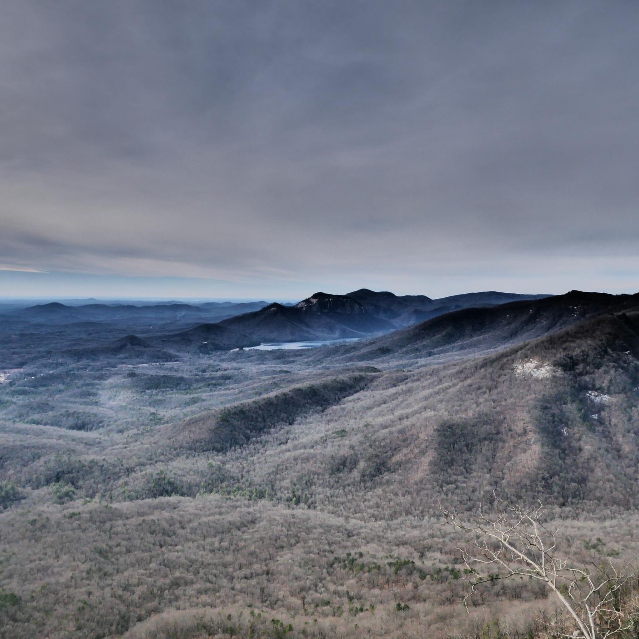
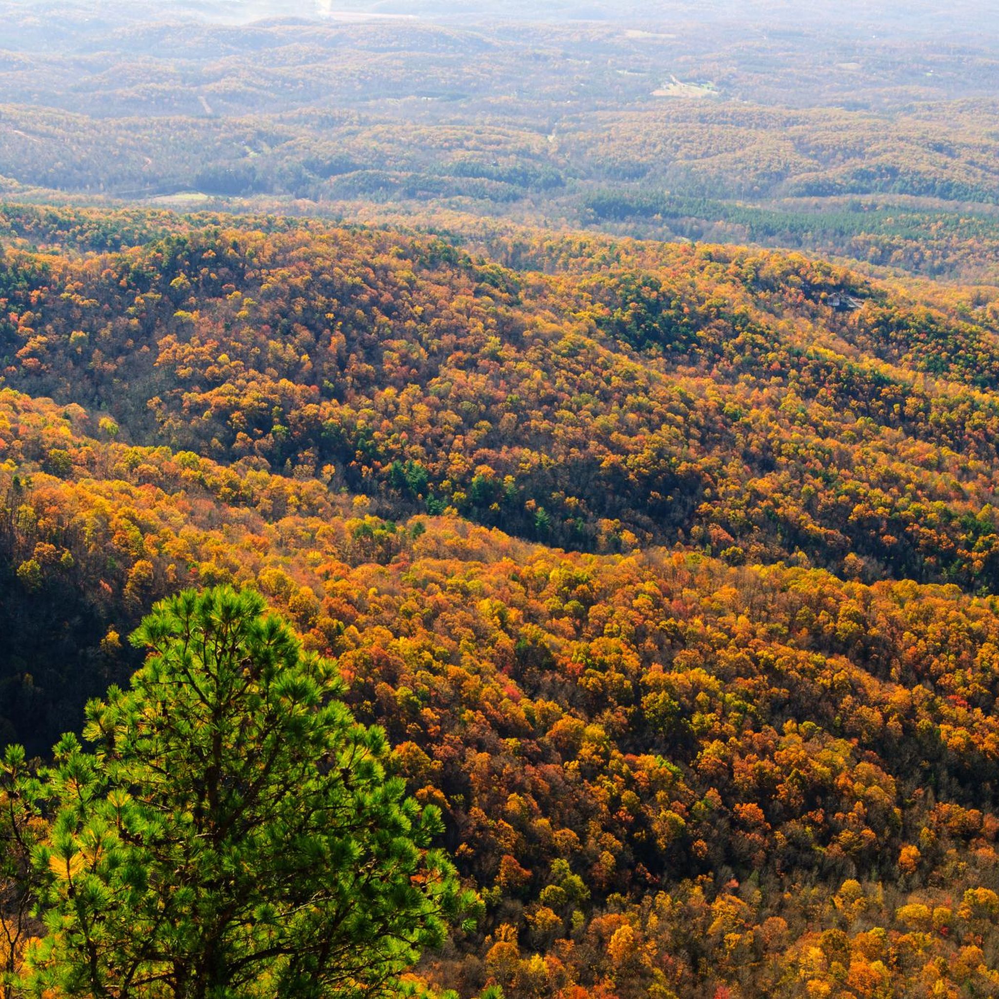
Road cycling routes in Mountain Bridge Wilderness Area traverse a landscape characterized by significant elevation changes, ranging from 1,400 feet to over 3,200 feet at Caesars Head State Park. This expansive area, encompassing Caesars Head and Jones Gap State Parks, features dense hardwood forests, scenic rivers like the Middle Saluda, and numerous waterfalls. The topography presents challenging climbs and descents, making it suitable for road cyclists seeking demanding routes with substantial elevation gains. Many routes are mostly paved, offering smooth…
Last updated: June 26, 2026
15
riders
58.9km
02:45
720m
720m
The Jones Gap – South Country Club Road loop is a fantastic road cycling route that takes you through the heart of the Blue Ridge Escarpment, offering a dynamic ride…
10
riders
The Sassafras Mountain Climb – View from Sassafras Mountain loop from Caesars Head State Park is a formidable road cycling route that takes you through the heart of the Blue…

Sign up for free
25
riders
49.6km
02:40
870m
870m
Moderate road ride. Good fitness required. Mostly well-paved surfaces and easy to ride.
11
riders
Moderate road ride. Good fitness required. Mostly well-paved surfaces and easy to ride.
6
riders
Moderate road ride. Good fitness required. Mostly well-paved surfaces and easy to ride.
Get access to more routes and recommendations from other explorers.
Sign up for free
Already have an account?
Our route recommendations are based on thousands of hikes, rides, and runs completed by other people on komoot.
Start today with a free account
Your next adventure awaits.
Login or Signup

Tips from the Community

The views from this quiet winding road are lovely with the wooded hills in the background. Keep your eye out for the interesting bird species that live in the surrounding woods.
0
0

Old Highway 25 serves as a popular paved road for biking. You pass a number of historical markers and even the North Carolina and South Carolina border.
0
0

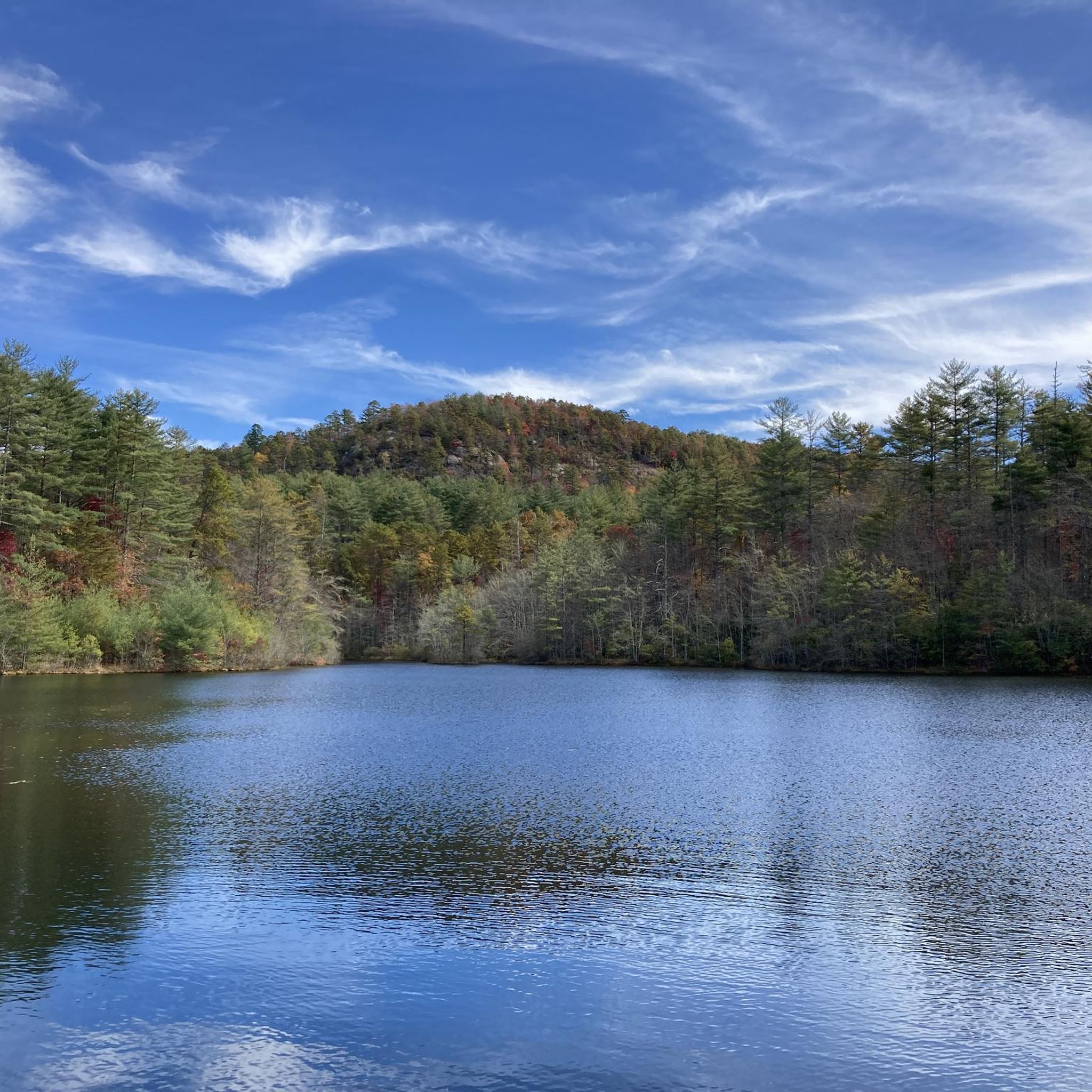
Timmons Pond is a small pond just off of Pumpkintown Road in Slater-Marietta, South Carolina, on the border of North and South Carolina. This is a nice spot to keep an eye out for birds and other wildlife as you ride by.
0
0

Jones Gap is a mountain pass on the South and North Carolina border. At an elevation of 2,929ft (893m) it gives you a good elevation gain hit just to get here and on the way it has a maximum gradient of 11%. The pass road is 16.4 miles (26.39km) long, running from Cedar Mountain towards Cleveland. You are in for a pretty great ride!
0
0

The climb takes you up to the highest point in South Carolina, Sassafras Mountain. There are a few 20% plus sections to really test your legs, but the forested road and the view at the top are worth it.
0
0
The viewing platform at the top of Sassafras Mountain is the perfect reward for all that climbing. On the border of North and South Carolina, the views are breathtaking.
0
0

Standing on the summit of Sassafras Mountain puts you on the highest point in the state of South Carolina. At 3,554 feet, the peak offers multiple observation areas and platforms that point in different directions off the top of the mountain. Being part of the Blue Ridge Mountain Range, the peak is highly popular, allowing both car and foot access from the bottom to the summit area (there is a steep incline from the parking lot to the observation deck).
0
0
Frequently Asked Questions
What is the typical difficulty level for road cycling routes in Mountain Bridge Wilderness Area?
Road cycling in the Mountain Bridge Wilderness Area is known for its challenging climbs and significant elevation changes, often requiring a good to very good fitness level. While there are 11 difficult routes, such as the Sassafras Mountain Climb – Sassafras Mountain Viewpoint loop, you can also find 14 moderate options, like the Roadbike loop from Green River, and even one easy route for a less strenuous experience.
What scenic viewpoints or natural attractions can I expect to see while road cycling in the area?
The Mountain Bridge Wilderness Area offers numerous breathtaking sights. Cyclists can enjoy panoramic views from iconic spots like Caesars Head, which overlooks the Blue Ridge Mountains. Other notable features include the impressive 420-foot Raven Cliff Falls (visible from the View of Raven Cliff Falls highlight), as well as other cascades like Moonshine Falls, Mashbox Falls, and Confusion Falls. The area also features unique geological formations like Devil's Kitchen and the imposing El Lieutenant Rock Dome.
Are there any road cycling routes that pass by waterfalls?
Yes, the Mountain Bridge Wilderness Area is rich with waterfalls. While specific road routes may not directly lead to the base of every fall, many routes offer views or pass near areas where waterfalls are accessible. Notable waterfalls in the region include the 100-foot Rainbow Falls, Jones Gap Falls, Wildcat Branch Falls, and the majestic 420-foot Raven Cliff Falls. You can find highlights for Moonshine Falls, Mashbox Falls, and Confusion Falls within the area.
What is the best time of year for road cycling in Mountain Bridge Wilderness Area?
The Mountain Bridge Wilderness Area offers beautiful scenery year-round, but spring and fall generally provide the most comfortable temperatures and vibrant landscapes for road cycling. Spring brings lush greenery and blooming wildflowers, while fall showcases spectacular foliage. Summers can be warm and humid, especially at lower elevations, while winters can present challenging conditions due to colder temperatures and potential for ice on higher mountain passes.
Are there any loop routes available for road cyclists?
Yes, many road cycling routes in the Mountain Bridge Wilderness Area are designed as loops, allowing you to start and end at the same point. Examples include the challenging Sassafras Mountain Climb – Sassafras Mountain Viewpoint loop and the moderate Pax Mountain – Hotel Domestique loop from L A Hendricks Pond. These loops provide varied terrain and scenic returns without retracing your path.
Where can I find parking for road cycling routes in the Mountain Bridge Wilderness Area?
Parking is typically available at key access points for the state parks within the wilderness area, such as Caesars Head State Park and Jones Gap State Park. Many komoot routes also specify starting points like Green River or L A Hendricks Pond, where parking facilities are often present. It's advisable to check specific route details for recommended parking locations.
What do other road cyclists enjoy most about road cycling in Mountain Bridge Wilderness Area?
The Mountain Bridge Wilderness Area is highly rated by the komoot community, with an average score of 5.0 stars from over 4 reviews. Road cyclists often praise the challenging mountain climbs, the stunning panoramic views from overlooks like Caesars Head, and the serene experience of cycling through dense hardwood forests and along scenic river valleys like the Middle Saluda River. The diverse terrain and natural beauty are frequently highlighted.
Are there any specific regulations or permit requirements for road cycling in the Mountain Bridge Wilderness Area?
While general road cycling on public roads typically doesn't require specific permits, it's important to be aware of any regulations within Caesars Head State Park and Jones Gap State Park, which are part of the wilderness area. Always adhere to park rules, road safety laws, and be mindful of wildlife. For detailed information on the Mountain Bridge Wilderness Area, you can visit VisitGreenvilleSC.
How long do road cycling routes typically take in this region?
The duration of road cycling routes in the Mountain Bridge Wilderness Area varies significantly based on distance, elevation gain, and your fitness level. For instance, a challenging route like the Sassafras Mountain Climb – Sassafras Mountain Viewpoint loop, which is 66.3 miles long with substantial elevation, can take around 5 hours and 32 minutes. Moderate routes, such as the 30.8-mile Roadbike loop from Green River, might take approximately 2 hours and 40 minutes.
Can I cycle on Cherokee Foothills Scenic Highway 11 in the Mountain Bridge Wilderness Area?
Yes, Cherokee Foothills Scenic Highway 11 serves as a significant access point and offers a scenic backdrop for cycling through the Upcountry, including areas near the Mountain Bridge Wilderness Area. This highway is known for its picturesque views and can be incorporated into longer rides, providing a mix of challenging sections and more rolling terrain. Always exercise caution and follow traffic laws when cycling on public roads.
Are there any cafes or amenities near the road cycling trails for a break?
While the Mountain Bridge Wilderness Area itself is largely undeveloped wilderness, amenities for cyclists can be found in nearby towns and communities. Caesars Head State Park and Jones Gap State Park may offer basic facilities. For cafes, restaurants, and more extensive services, you would typically need to venture to the towns surrounding the wilderness area, such as those accessible via the Cherokee Foothills Scenic Highway 11.
What are the elevation changes like on road cycling routes in the Mountain Bridge Wilderness Area?
The Mountain Bridge Wilderness Area is characterized by dramatic elevation changes, making it a challenging destination for road cyclists. Elevations range from 1,400 feet along Oil Camp Creek to 3,260 feet at Caesars Head State Park, with peaks across the nearby North Carolina border reaching 5,000 feet. Routes often feature substantial elevation gains, with some climbs exceeding 3,000 feet, such as the Jones Gap Mountain Pass which has a maximum gradient of 11%.
Most popular routes in Mountain Bridge Wilderness Area
Most popular attractions in Mountain Bridge Wilderness Area

Get inspired with the komoot mobile app


Explore more
Browse the best Road cycling routes in other regions.
