The best walks and hikes in Antrim Coast And Glens Aonb
4.6
(575)
4,373
hikers
83
hikes
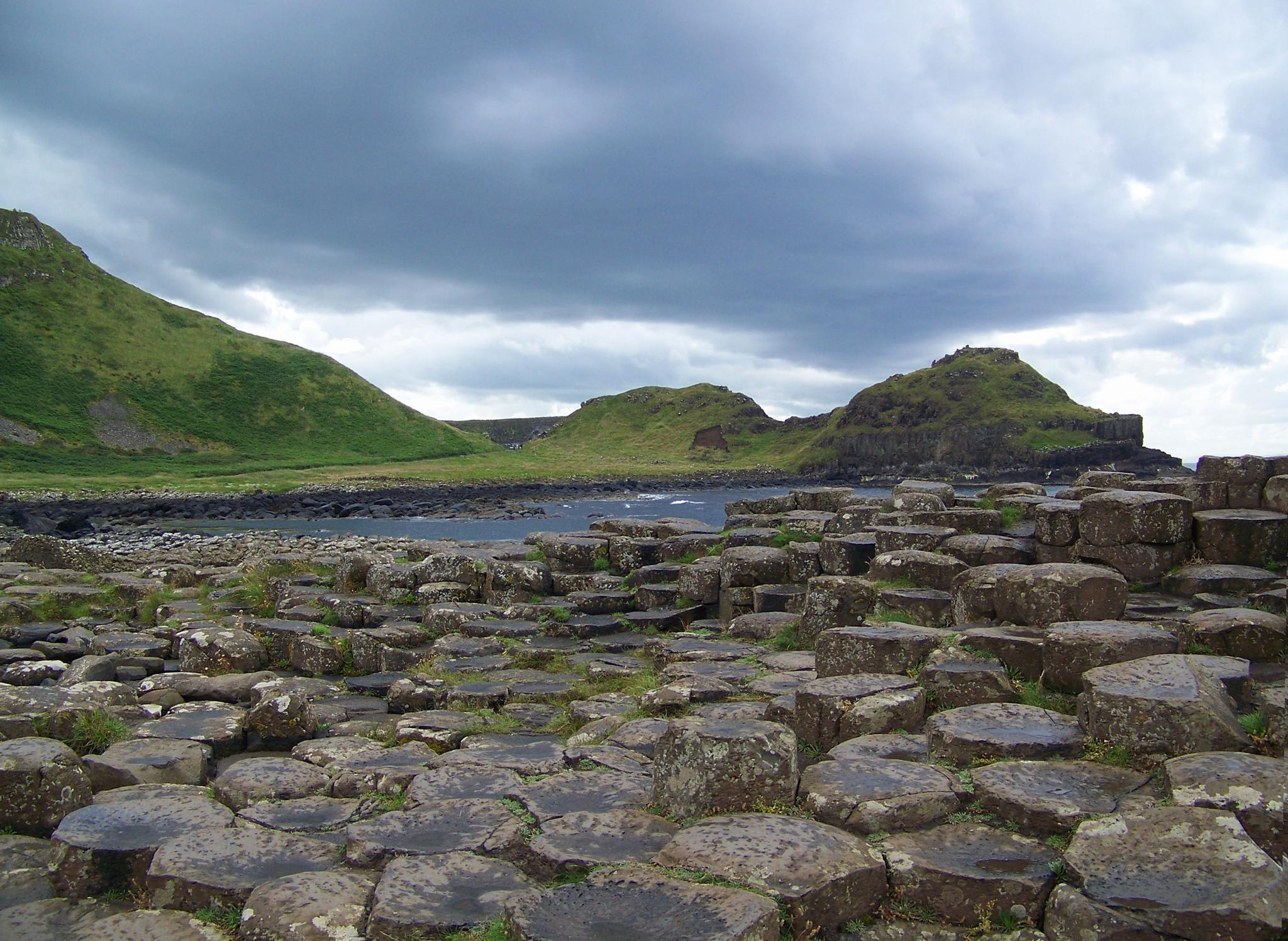
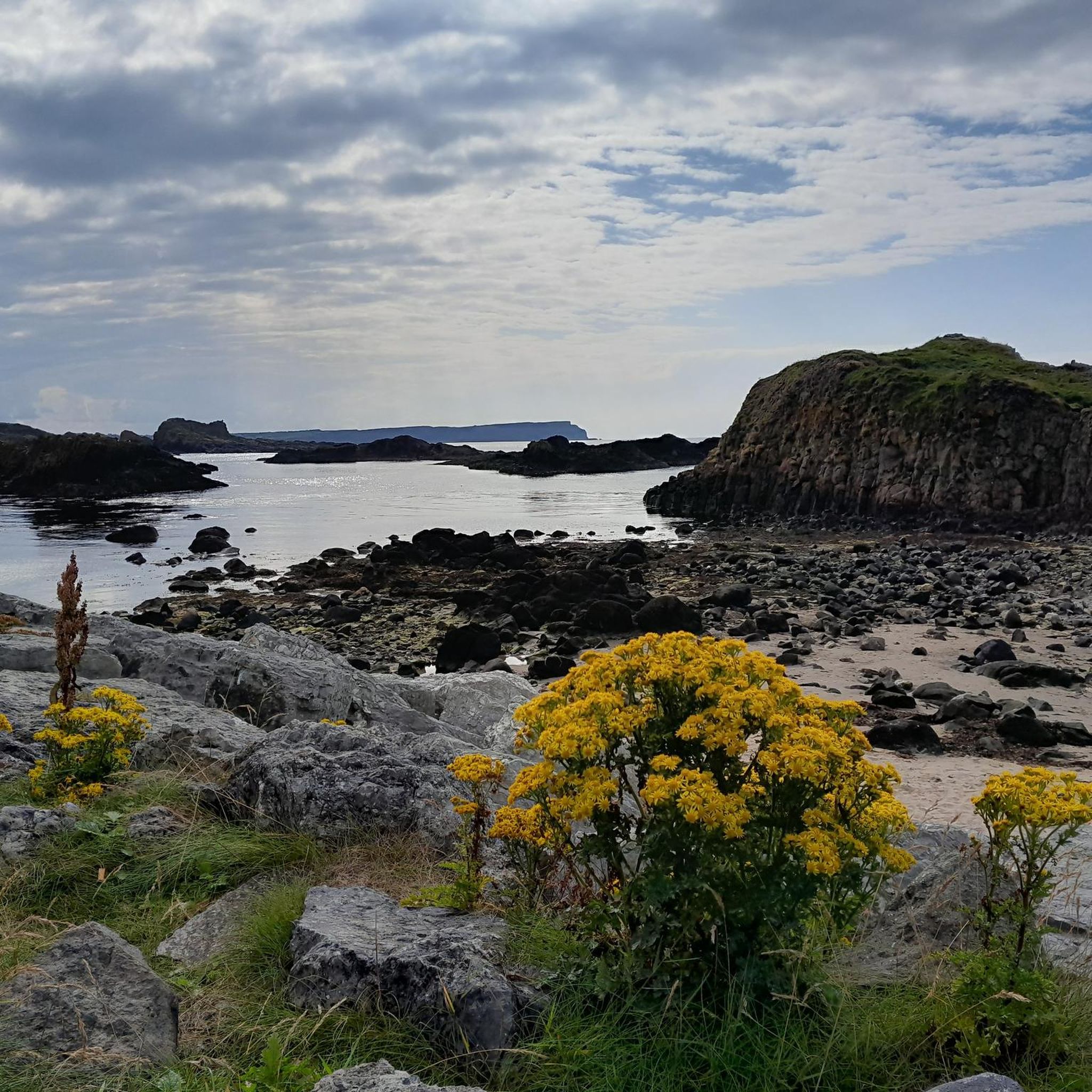
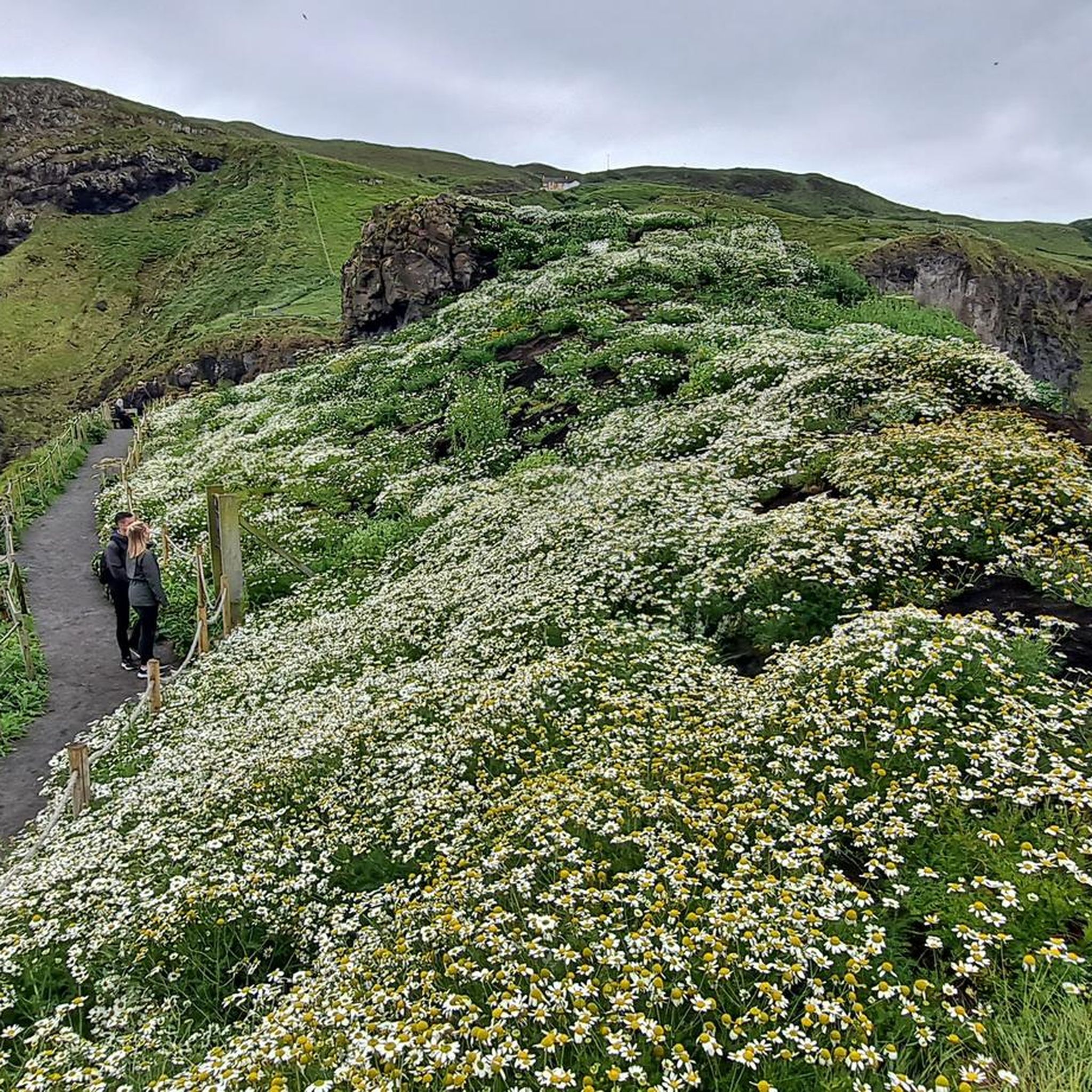
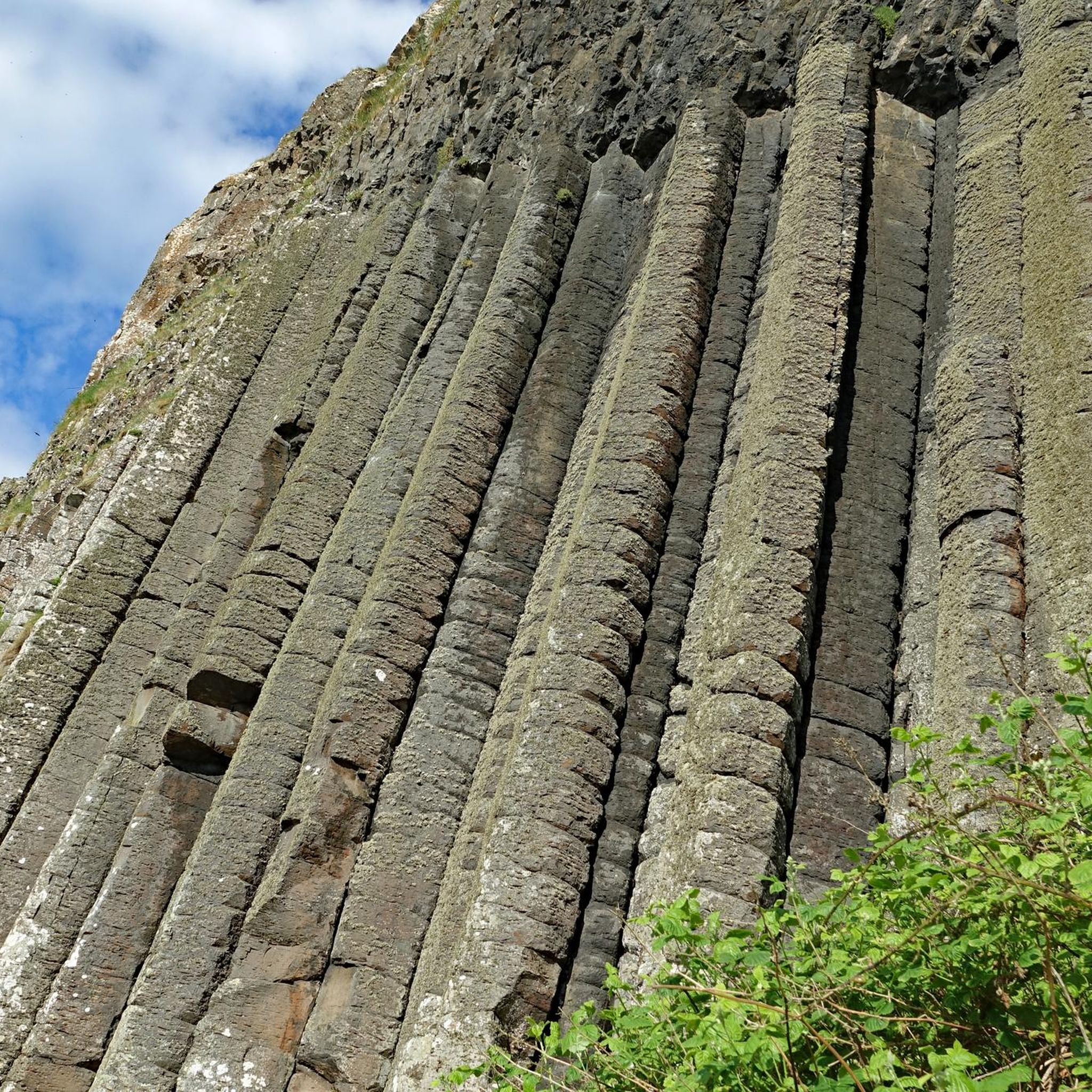
Hikes in Antrim Coast and Glens Area of Outstanding Natural Beauty feature a mix of rugged coastline, rolling hills, and lush forests. The region is characterized by its nine glens, which are valleys carved by glaciers, and a dramatic coastline of basalt cliffs. The terrain offers a variety of trails, from coastal paths with sea views to woodland routes with waterfalls. The highest point in the area is Trostan, at an elevation of around 550 meters.
Best hiking trails in…
Last updated: October 10, 2026
4.7
(107)
559
hikers
4.56km
01:21
140m
140m
Embark on an easy hike through Glenariff Forest Park on the Waterfall Trail via Rainbow Trail. This route covers 2.8 miles (4.6 km) with an elevation gain of 447 feet…
4.7
(58)
430
hikers
9.60km
02:47
240m
240m
The Scenic Trail provides a moderate hiking experience through diverse landscapes. You will cover 6.0 miles (9.6 km) and gain 776 feet (237 metres) in elevation, typically taking about 2…

4.7
(34)
169
hikers
7.76km
02:10
150m
150m
Embark on the Fairhead Loch Na Crannóige Walk, a moderate hike spanning 4.8 miles (7.8 km) with an elevation gain of 507 feet (155 metres), typically completed in 2 hours…
4.5
(26)
126
hikers
9.18km
02:28
80m
80m
Embark on the Rathlin Island Roonivoolin Walk, a moderate hiking route that takes you along the rugged coastline of Northern Ireland's only inhabited offshore island. You will cover 5.7 miles…
4.6
(23)
126
hikers
13.7km
03:44
200m
200m
Embark on the Rathlin Trail, a moderate 8.5-mile (13.7 km) hike on Northern Ireland's only inhabited offshore island. This route, which takes around 3 hours and 44 minutes to complete…
Get access to more routes and recommendations from other explorers.
Already have an account?
Our route recommendations are based on thousands of hikes, rides, and runs completed by other people on komoot.
Start today with a free account
Your next adventure awaits.
Other adventures in Antrim Coast And Glens Aonb

Tips from the Community

Very beautiful waterfalls along the way and very well developed.
1
0

Glenariff Forest Park is a beautiful park located in County Antrim in Northern Ireland. The park covers over 1,185 hectares and has a number of scenic trails that run past some of the most beautiful waterfalls in Northern Ireland. We spent a day hiking around this beautiful waterfall.
0
0

From the bridge you have a great view of the water
0
0

One of the real classic seacliff climbing areas with decades of histors and the tradiitonal climbing meet-up on the first weekend in June.
1
0

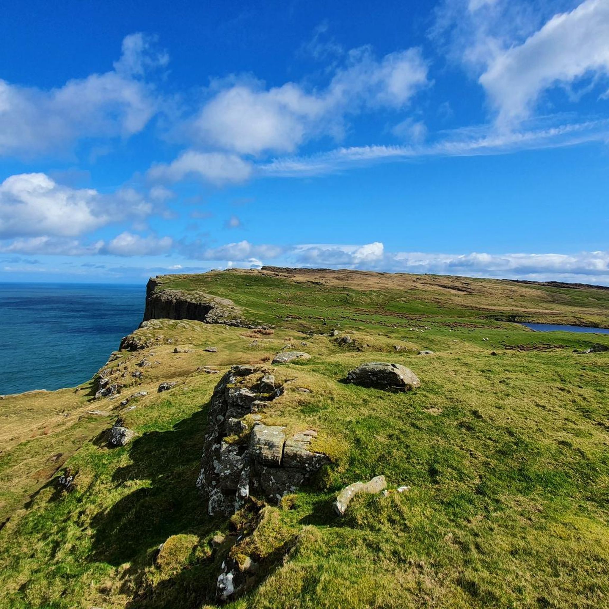
Close to Northern Ireland's most northerly point, Fair Head has brilliant views of Scotland and Rathlin Island. Stunning on a clear day, fearsome when the weather sets in!
3
0

This is an excellent lookout point to view the east leg of Rathlin, Rathlin harbour and across to the Northern Ireland coast. There are two large picnic tables here, and it's easily accessible for families with kids.
2
0
From here, you can enjoy fantastic views of the beautiful Rathlin Island, located off the northeast coast of Ireland (and Ireland's most northern point).
4
0

Many walks start out from the information centre near the parking. It costs £5 (2023) to park at the visitor centre. Entry on foot is free. The waterfall walk takes you down into the gorge where you can walk along paths and wooden walkways to admire the waterfalls.
0
0
Frequently Asked Questions
What does AONB stand for and what does it mean?
AONB stands for Area of Outstanding Natural Beauty. The Antrim Coast and Glens was designated as an AONB in 1988 to protect its unique landscape, which includes the nine famous Glens of Antrim, a dramatic coastline with basalt cliffs, and a high, undulating plateau.
Are there any good waterfall walks?
Yes, the region is famous for them, especially in Glenariff Forest Park, often called the 'Queen of the Glens'. For a classic waterfall experience, the Waterfall Trail via Rainbow Trail is an excellent choice. It's a relatively short walk on well-maintained paths and boardwalks that takes you past several impressive waterfalls.
What are the hiking options on Rathlin Island?
Rathlin Island offers a more remote hiking experience with stunning cliff-top paths. It's a haven for wildlife, especially seabirds like puffins. A great option to explore the island's natural beauty is the Rathlin Trail, a moderate route that provides fantastic views and a sense of tranquility away from the mainland.
Can I bring my dog on hikes in the Antrim Coast and Glens?
Many trails in the Antrim Coast and Glens are suitable for hiking with dogs. However, it's essential to keep them on a lead, especially on coastal paths with steep cliffs and in areas with livestock. Always check specific regulations for parks and nature reserves before you go. For example, Glenariff Forest Park requires dogs to be kept on a lead at all times.
Are there many circular walks available?
Yes, there are plenty of circular or loop trails. These are great for exploring an area without having to retrace your steps. For a rewarding coastal loop with dramatic cliff-top views and a bit of history, consider the Fairhead Loch Na Crannóige Walk. It offers a fantastic perspective of the rugged coastline.
How do I get to trailheads using public transport?
Public transport can be a good way to access some trails. The Causeway Rambler bus service (Ulsterbus Service 402) operates along the coast, connecting key towns and attractions like the Giant's Causeway and Carrick-a-Rede. For other areas, local bus services run from larger towns like Ballymena and Ballycastle. It's always best to check the Translink NI website for the most current timetables and routes.
What's a good challenging hike in the area?
For those seeking a more challenging day out, the Moyle Way offers a long-distance path through the heart of the glens. A particularly scenic and demanding section is the Scenic Trail in Glenariff Forest Park. This moderate route climbs higher than the waterfall trails, providing expansive views over the glen and the sea beyond.
Are there any easy walks suitable for families?
Absolutely. The region has numerous trails perfect for a family outing. Besides the popular waterfall walks, you can find gentle paths in many of the glens and along some of the sandy beaches. The area around Glenarm village and forest offers pleasant, less strenuous options with historical points of interest.
What kind of terrain should I expect?
The terrain is very diverse. Expect dramatic coastal cliffs and paths, some of which can be narrow and exposed. Inland, you'll find rolling hills, deep glens with forest tracks and boardwalks, and open moorland on the Antrim Plateau. Footwear with good grip is essential, as paths can be rocky, muddy, and slippery, especially after rain.
What do other hikers think of the trails in this area?
The Antrim Coast and Glens AONB is highly regarded by the komoot community, with an average rating of 4.6 stars. Hikers frequently praise the stunning coastal scenery, the unique geology of places like the Giant's Causeway, and the peaceful atmosphere of the glens and their beautiful waterfalls.
How many hiking trails are there in the Antrim Coast and Glens?
There are over 80 curated hiking routes in the Antrim Coast and Glens AONB on komoot. These range from short, easy walks of less than an hour to challenging full-day treks, covering coastal paths, forest trails, and upland routes.
Most popular routes in Antrim Coast And Glens Aonb
Most popular attractions in Antrim Coast And Glens Aonb

Get inspired with the komoot mobile app


Explore more
Browse the best Hikes in other regions.
