The best cycling routes in Reserva Natural De La Sociedad Civil El Encenillo
4.9
(28)
713
riders
13
rides
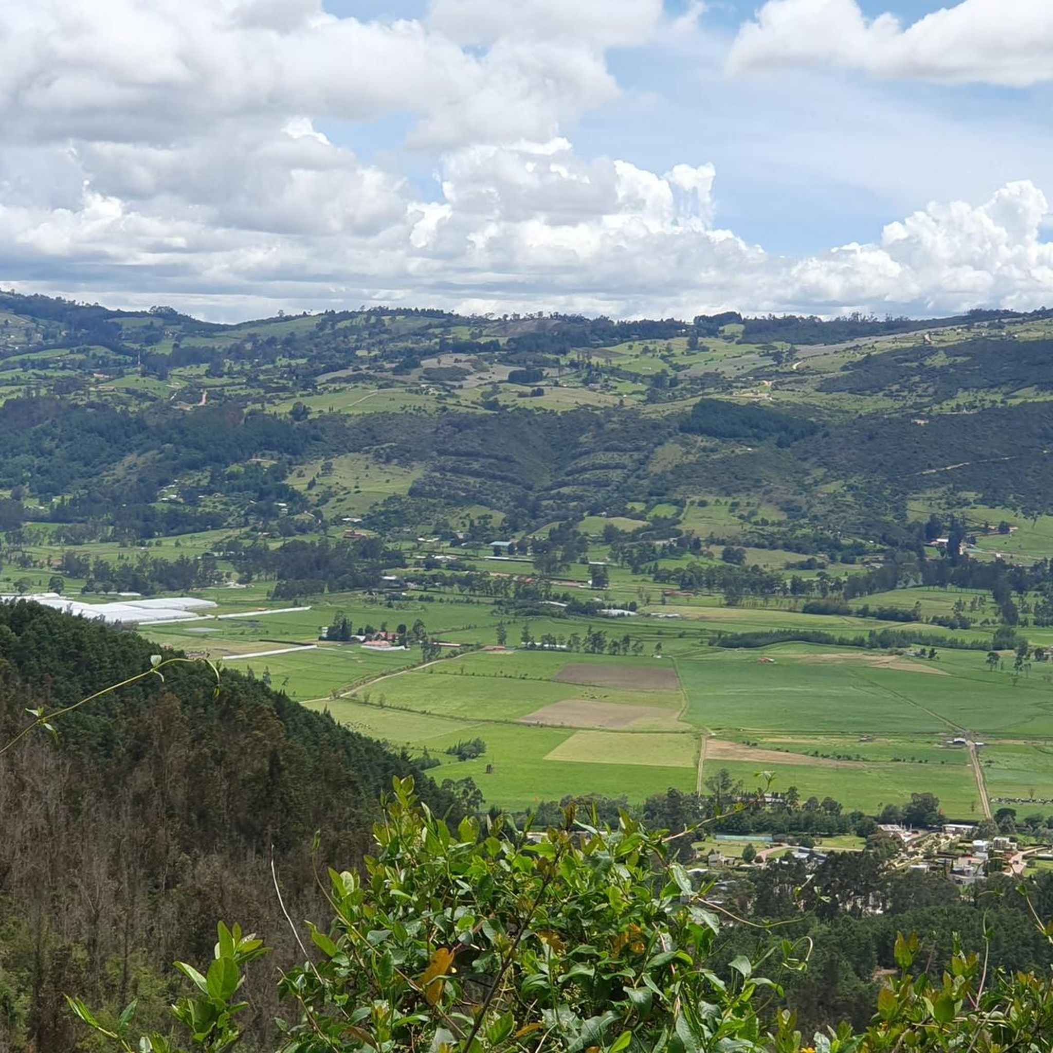
Touring cycling routes in Reserva Natural El Encenillo traverse a landscape characterized by varied elevations and natural forest areas. The region features significant climbs and descents, indicative of its mountainous or hilly terrain. Natural reserves typically offer routes through woodlands and open spaces, providing diverse cycling environments. These paths often connect natural features with local points of interest.
Best touring cycling routes in Reserva Natural De La Sociedad Civil El Encenillo
- The most popular touring cycling route is Guasca Main…
Last updated: July 5, 2026
4.3
(3)
171
riders
56.0km
04:05
1,120m
1,120m
Hard bike ride. Very good fitness required. Mostly paved surfaces. Suitable for all skill levels.
45
riders
34.5km
02:16
490m
490m
Hard bike ride. Very good fitness required. Mostly paved surfaces. Suitable for all skill levels.

Sign up for free
7
riders
53.1km
05:11
1,420m
1,420m
Hard bike ride. Very good fitness required. Mostly paved surfaces. Suitable for all skill levels.
8
riders
37.0km
03:23
850m
850m
Hard bike ride. Very good fitness required. Mostly paved surfaces. Suitable for all skill levels.
8
riders
28.8km
01:57
360m
360m
Moderate bike ride. Good fitness required. Mostly paved surfaces. Suitable for all skill levels.
Get access to more routes and recommendations from other explorers.
Sign up for free
Already have an account?
Our route recommendations are based on thousands of hikes, rides, and runs completed by other people on komoot.
Start today with a free account
Your next adventure awaits.
Login or Signup
Popular around Reserva Natural De La Sociedad Civil El Encenillo


Tips from the Community

Port on both sides, to provide firewood. Too bad, on the site, lousy service from the store that is there, that's why I suggest eating better, if you want, in La Calera. But that depends on how they feel.
0
0

If the day is sunny, the view is more enjoyable, but it is still demanding. Besides, as it is a paramo, the weather tends to change very easily, so you have to bring a coat just in case!
0
0
Port with a manageable slope, it becomes hard at the end due to the altitude (3,500 meters) and the wind in the last km. Very cold up, and on the way down, I suggest a good jacket and FULL FINGER gloves.
0
0

Luagr highly recommend to get started in road cycling
0
0
Always be prepared for rain and cold. At 3500m above sea level, the detour to Montaña del Oso is a descent made of loose stone and difficult to maneuver, then you can take the path (not pedalable) to connect the path with Mundo Nuevo.
1
0

18th century chapel, formerly the Dominican church
0
0
going up from the "Y" (Guasca) there are 11km, a road in good condition, generally cold, foggy and rainy. From Gachetá going up there are 35km of ascent.
0
0

Bring a windbreaker vest or jacket, because of the high altitude it can get really cold
2
0
Frequently Asked Questions
How many touring cycling routes are available in Reserva Natural El Encenillo?
Reserva Natural El Encenillo offers a selection of 13 touring cycling routes. These routes are generally characterized by varied elevations and natural forest areas, providing diverse cycling environments.
What are the typical distances and difficulties of touring cycling routes in the reserve?
The routes in Reserva Natural El Encenillo range from moderate to difficult. For example, the Siecha Chapel loop from Floresta de la Sabana is a moderate 17.9 miles (28.8 km) ride. More challenging options include the Guasca Main Square – Guasca loop from Carulla, which covers 34.8 miles (56.0 km) with significant elevation changes, and the Alto de Chingaza – Ghost Town of La Calera loop from Salitre, a difficult 33.0 miles (53.1 km) path with substantial climbs.
Are there any family-friendly touring cycling routes in Reserva Natural El Encenillo?
The touring cycling routes in Reserva Natural El Encenillo are predominantly rated as moderate to difficult, with no routes specifically categorized as easy. This suggests that most trails may involve significant climbs and descents, making them more suitable for cyclists with some experience or older children. For families with younger children or beginners, it's advisable to carefully review route profiles for elevation and distance before setting out.
When is the best time of year to go touring cycling in Reserva Natural El Encenillo?
The best time to visit Reserva Natural El Encenillo for touring cycling generally depends on the local climate patterns. As a natural reserve, weather can be variable. It's usually best to aim for drier seasons to avoid muddy trails and ensure better visibility. Always check the local weather forecast immediately before your trip, as conditions in mountainous or hilly regions can change rapidly.
Can I find circular touring cycling routes in Reserva Natural El Encenillo?
Yes, many of the touring cycling routes in Reserva Natural El Encenillo are designed as loops, allowing you to start and end at the same point. Examples include the Guasca Main Square – Guasca loop from Carulla, the Plaza de La Calera – Guasquita loop from Salitre, and the Ghost Town of La Calera loop from Floresta de la Sabana. These circular routes are convenient for planning your day without needing to arrange transport back to a starting point.
What essential gear should I pack for a touring cycling trip in the reserve?
Given the varied terrain and potential for significant elevation changes, it's recommended to pack essentials such as a helmet, appropriate cycling attire, plenty of water, snacks, a repair kit for your bike, and navigation tools. Due to the natural environment, insect repellent and sun protection are also advisable. Layered clothing is often best to adapt to changing temperatures, especially when gaining or losing elevation.
Where can I park my car when visiting Reserva Natural El Encenillo for cycling?
While specific parking areas within the natural reserve are not detailed, visitors typically find parking in nearby towns or designated access points surrounding the reserve. For routes starting from specific locations like 'Carulla' or 'Salitre', parking might be available in those areas. Always check local regulations and signage for parking availability and restrictions.
Is Reserva Natural El Encenillo accessible by public transport for cyclists?
Public transport options directly into the heart of Reserva Natural El Encenillo may be limited due to its status as a natural reserve. However, it's often possible to reach nearby towns or the periphery of the reserve via regional bus services. From there, you might cycle to your desired starting point. It's recommended to research specific bus routes and their bicycle policies in advance.
What kind of views or natural features can I expect along the touring cycling routes?
Touring cycling routes in Reserva Natural El Encenillo traverse a landscape rich in natural forest areas and varied elevations. You can expect scenic views of forested hills, valleys, and potentially glimpses of local flora and fauna. Some routes, like the Alto de Chingaza – Ghost Town of La Calera loop from Salitre, also pass through historical areas, adding a cultural dimension to the natural beauty.
What do other touring cyclists enjoy the most about touring cycling in Reserva Natural El Encenillo?
The touring cycling experience in Reserva Natural El Encenillo is highly rated by the komoot community, with an average score of 4.9 stars from over 27 reviews. Cyclists often praise the challenging ascents, scenic valleys, and the opportunity to explore natural landscapes and historical areas. The diverse terrain and well-defined routes contribute to a rewarding experience for those seeking an active outdoor adventure.
Are there any cafes or refreshment stops near the touring cycling trails?
As a natural reserve, direct amenities like cafes might be scarce within the protected areas themselves. However, routes often start or pass through nearby towns such as Guasca or La Calera, where you can find cafes, restaurants, and shops to refuel before or after your ride. It's always a good idea to carry sufficient water and snacks, especially on longer routes.
What are some challenging touring cycling routes for experienced riders?
Experienced touring cyclists looking for a challenge will find several difficult routes in Reserva Natural El Encenillo. The Alto de Chingaza – Ghost Town of La Calera loop from Salitre is a demanding 33.0 miles (53.1 km) route featuring substantial climbs and historical points of interest. Another difficult option is the Ghost Town of La Calera loop from Floresta de la Sabana, covering 36957 meters with significant elevation gain.
Most popular routes in Reserva Natural De La Sociedad Civil El Encenillo

Get inspired with the komoot mobile app


Explore more
Browse the best Cycling routes in other regions.
