The best road cycling routes in Reserva Natural De La Sociedad Civil El Encenillo
5.0
(80)
3,036
riders
8
rides
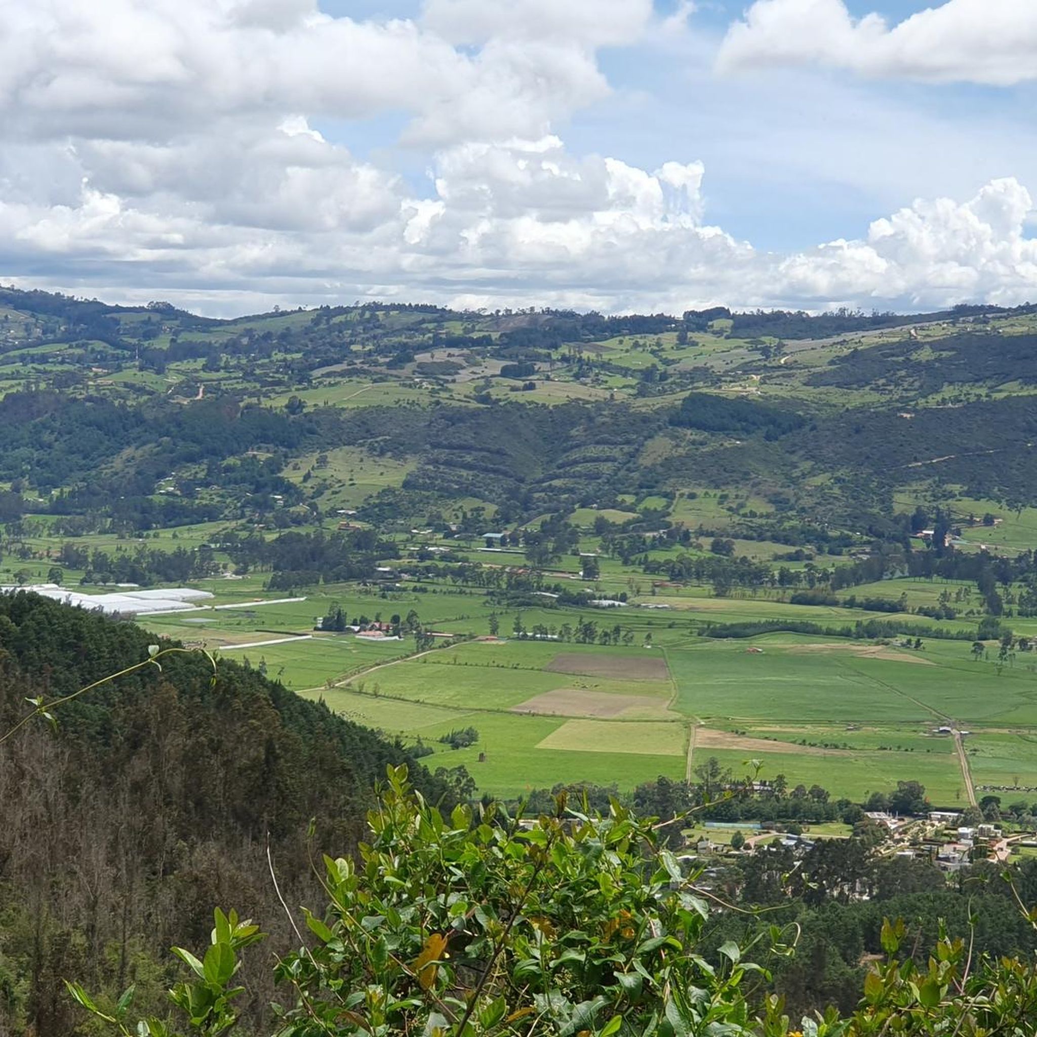
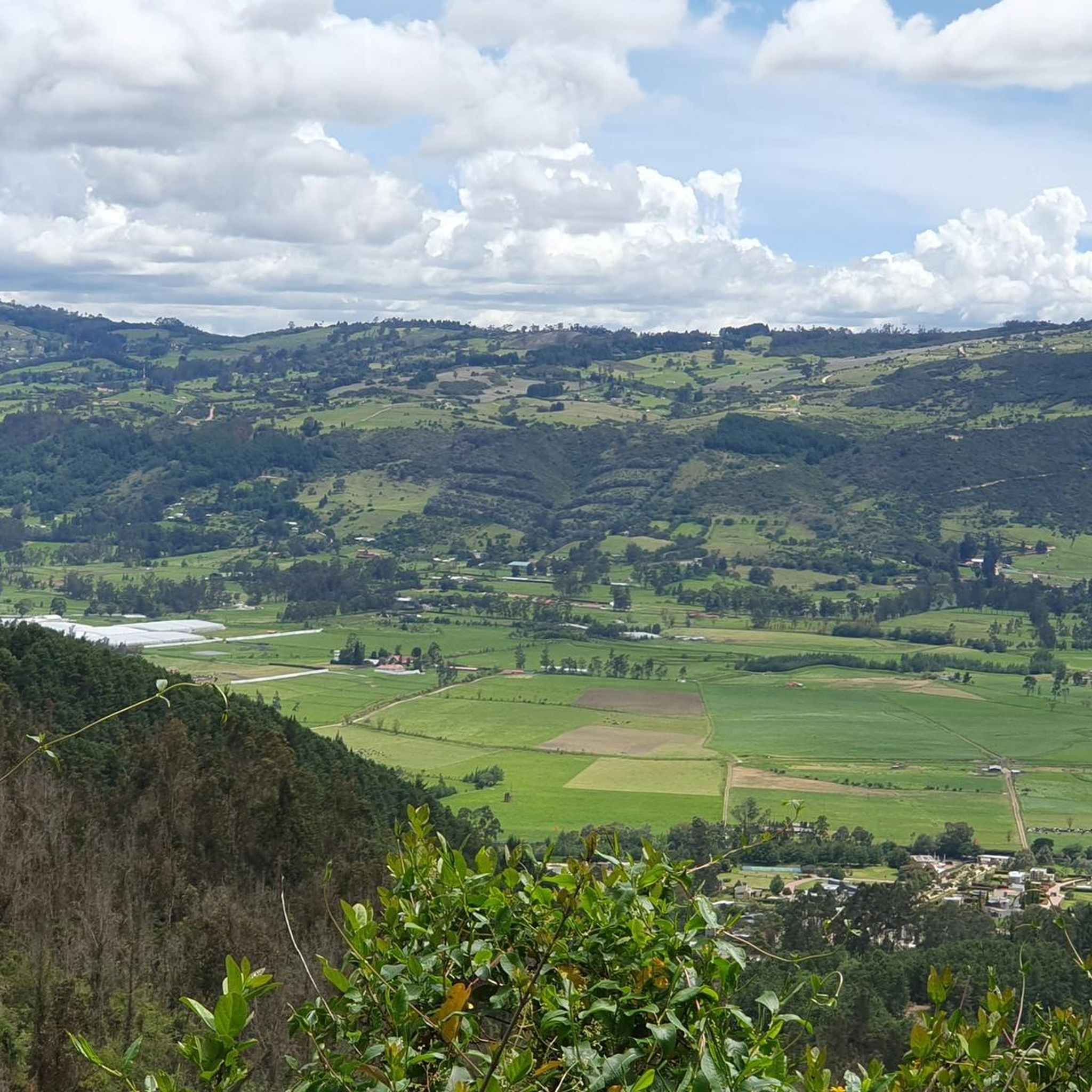
Road cycling in Reserva Natural De La Sociedad Civil El Encenillo features routes through high Andean cloud forests, characterized by an altitudinal range of 2,800 to 3,200 meters above sea level. The terrain offers varied challenges with significant climbs and descents, passing through well-preserved forests dominated by the Encenillo tree. These routes provide a dynamic cycling experience within a lush, green environment.
Best road cycling routes in Reserva Natural De La Sociedad Civil El Encenillo
- The most popular road cycling…
Last updated: July 9, 2026
61
riders
Moderate road ride. Good fitness required. Some segments of this route may be unpaved and difficult to ride.
4.8
(53)
1,677
riders
81.7km
03:45
810m
810m
Moderate road ride. Good fitness required. Mostly well-paved surfaces and easy to ride.

Sign up for free
5.0
(4)
311
riders
48.1km
02:42
1,050m
1,050m
Hard road ride. Very good fitness required. Mostly well-paved surfaces and easy to ride.
74
riders
25.0km
01:12
310m
310m
Moderate road ride. Good fitness required. Mostly well-paved surfaces and easy to ride.
5.0
(3)
363
riders
59.5km
03:17
1,160m
1,160m
Hard road ride. Very good fitness required. Some segments of this route may be unpaved and difficult to ride.
Get access to more routes and recommendations from other explorers.
Sign up for free
Already have an account?
Our route recommendations are based on thousands of hikes, rides, and runs completed by other people on komoot.
Start today with a free account
Your next adventure awaits.
Login or Signup
Popular around Reserva Natural De La Sociedad Civil El Encenillo

Tips from the Community

Alto de los Patios offers countless dining options to enjoy Bogotá's sporting atmosphere. The area is usually very busy.
1
0

Beautiful scenery and medium difficulty. For gravel or mountain biking.
0
0


It is a road with a lot of vehicular flow, be careful!!! up there many places to have breakfast
1
0

Excellent climbing, recommended for Saturdays first thing in the morning.
0
0
Excellent route, for cyclists with some experience and moderate level.
0
0

Take advantage of the vacation season, the traffic improves a lot, and it becomes pleasant to go. Be careful with the cold very early, it can reach 0 ° C.
0
0

Frequently Asked Questions
How many road cycling routes are available in Reserva Natural De La Sociedad Civil El Encenillo?
There are 8 dedicated road cycling routes within or around Reserva Natural De La Sociedad Civil El Encenillo. These routes offer varied experiences, from moderate climbs to more challenging, extended rides.
What kind of terrain and elevation can I expect on road cycling routes here?
Road cycling in Reserva Natural De La Sociedad Civil El Encenillo involves significant elevation changes, with routes spanning an altitudinal range of 2,800 to 3,200 meters above sea level. You'll encounter challenging climbs and descents through well-preserved high Andean cloud forests, offering a dynamic and scenic cycling experience.
What is the best time of year to go road cycling in Reserva Natural El Encenillo?
The region generally experiences cooler temperatures, averaging 12 degrees Celsius, which makes for comfortable cycling conditions year-round. However, it's always advisable to check local weather forecasts before your ride, as high Andean cloud forests can be prone to mist or rain.
Are there any particularly scenic viewpoints along the road cycling routes?
While the road cycling routes themselves offer continuous scenic beauty through the high Andean forests, the reserve features a viewpoint (mirador) accessible via the hiking-focused El Colibrí trail. This viewpoint provides panoramic vistas of the surrounding valleys of Guasca and Sopó, which can be a rewarding stop if you combine cycling with a short hike.
What are some of the longer, more challenging road cycling routes?
For experienced cyclists seeking a challenge, the Alto de la Cuchilla – Alto de La Cuchilla loop from Salitre is a difficult 120 km route with substantial elevation changes. Another demanding option is the Alto de La Cuchilla – Alto de la Cuchilla loop from Floresta de la Sabana, covering 59.5 km with significant climbs.
Are there any moderate road cycling routes suitable for a good workout?
Yes, there are several moderate routes. The Salitre–Guasquita Climb – Potosí Heights loop from Floresta de la Sabana is a popular 48.4 km route with significant elevation gain. Another excellent choice is the View of Bogotá from Patios – Patios Summit loop from Salitre, which is 81.7 km and offers panoramic views and challenging climbs.
What do other road cyclists say about the routes in Reserva Natural El Encenillo?
The road cycling routes in Reserva Natural De La Sociedad Civil El Encenillo are highly rated by the komoot community, with an average score of 4.9 stars from over 70 reviews. Cyclists often praise the beautiful high Andean forest scenery, the challenging yet rewarding climbs, and the well-maintained paths that offer a unique outdoor experience.
Is it possible to see wildlife while road cycling in the reserve?
While road cycling, you'll be passing through a rich natural environment. The reserve is home to 78 recorded bird species, as well as mammals like coatis, armadillos, and paramo foxes. Keep an eye out, especially during quieter times, for opportunities to spot some of the local fauna amidst the lush forest.
Are there any circular road cycling routes available?
Yes, many of the routes are designed as loops, allowing you to start and end at the same point. Examples include the Salitre–Guasquita Climb – Potosí Heights loop from Floresta de la Sabana and the Alto de la Cuchilla – Alto de La Cuchilla loop from Salitre, providing convenient round trips.
What are the general characteristics of the high Andean forests I'll be cycling through?
The high Andean forests in the reserve are characterized by the prevalence of the Encenillo tree (Weinmannia tomentosa), creating a lush, green environment. You'll also see a rich array of plant life, including orchids, bromeliads, mosses, lichens, and ferns, many of which adorn the tree bark and forest floor, contributing to a picturesque setting.
Are there any shorter road cycling routes for a quicker ride?
For a shorter, moderate ride, consider the Potosí Heights – Alto de las Arepas loop from Salitre. This route covers approximately 25 km and offers a good workout without requiring a full day's commitment, making it suitable for a quicker cycling session.
Most popular routes in Reserva Natural De La Sociedad Civil El Encenillo

Get inspired with the komoot mobile app


Explore more
Browse the best Road cycling routes in other regions.
