The best MTB trails in Reserva Natural De La Sociedad Civil El Encenillo
5.0
(3)
75
riders
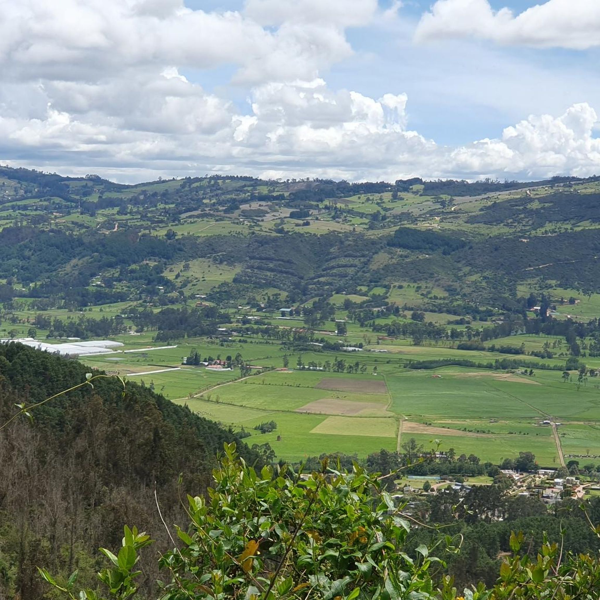
Mountain biking in Reserva Natural De La Sociedad Civil El Encenillo offers routes through diverse high-Andean landscapes, situated at altitudes ranging from 2,800 to 3,200 meters above sea level. The region is characterized by significant relictual Andean cloud forests, dominated by encenillo trees, and areas of natural regeneration from former mining sites. Mountain bikers can expect varied terrain, from dense forest paths to open high-altitude sections, providing a challenging and immersive experience.
Best mountain bike trails in Reserva Natural De…
Last updated: June 29, 2026
5.0
(1)
47
riders
55.8km
05:25
1,560m
1,560m
Hard mountain bike ride. Very good fitness required. Suitable for all skill levels.
10
riders
70.8km
05:42
1,280m
1,280m
Hard mountain bike ride. Very good fitness required. Suitable for all skill levels.

Sign up for free
5.0
(2)
7
riders
61.4km
04:55
1,190m
1,190m
Hard mountain bike ride. Very good fitness required. Suitable for all skill levels.
6
riders
49.5km
04:40
1,440m
1,440m
Hard mountain bike ride. Very good fitness required. Advanced riding skills necessary.
2
riders
32.1km
02:55
760m
760m
Moderate mountain bike ride. Good fitness required. Advanced riding skills necessary.
Our route recommendations are based on thousands of hikes, rides, and runs completed by other people on komoot.
Start today with a free account
Your next adventure awaits.
Login or Signup
Popular around Reserva Natural De La Sociedad Civil El Encenillo


Tips from the Community

Alto de los Patios offers countless dining options to enjoy Bogotá's sporting atmosphere. The area is usually very busy.
1
0


end of the climb, it's good to have a drink and regain strength
0
0


Excellent ride to test your willpower and physical fitness.
0
0

A super route ending at the Bear Mountain in a technical section to then enjoy a beautiful view of the Bogotá savannah and then a great descent
0
0
It is a steep climb on asphalt, a very good route for training.
0
0

hard, but beautiful
0
0
Frequently Asked Questions
What kind of terrain can I expect when mountain biking in Reserva Natural El Encenillo?
Mountain biking in Reserva Natural El Encenillo offers diverse high-Andean landscapes. You'll encounter relictual Andean cloud forests, areas of natural regeneration from former mining sites, and open high-altitude sections. The terrain varies from dense forest paths to more exposed páramo landscapes, providing a mix of challenging climbs and scenic descents.
How challenging are the mountain bike trails in Reserva Natural El Encenillo?
The trails in Reserva Natural El Encenillo range from moderate to difficult. For example, the Descent from Pionono to Sopó loop from Carulla is considered moderate, while routes like the Alto de La Cuchilla – Páramo Landscape loop from Guasca and Bear Mountain – Alto de Yerbabuena loop from Guasca are difficult, featuring significant elevation gains and longer distances.
Are there any long-distance mountain bike routes for experienced riders?
Yes, experienced riders will find several long-distance routes. The Bear Mountain – Alto de Yerbabuena loop from Guasca is a challenging 44.0 miles (70.9 km) trail, often taking around 5 hours 45 minutes. Another option is the Laguna del Cacique Guatavita – Tominé Reservoir loop from Guasca, which covers 38.2 miles (61.5 km).
What natural features or landmarks can I expect to see along the mountain bike trails?
The reserve is known for its significant relictual Andean cloud forests, dominated by encenillo trees. You might also see areas of natural regeneration from former limestone mining sites, an old lime kiln, and an artificial lagoon. At higher elevations, around 3,100 meters, the landscape shifts to unique moss and lichen-dominated areas. The reserve also contributes to local water sources, including the Tominé reservoir.
What kind of wildlife might I encounter while mountain biking in the reserve?
Reserva El Encenillo is a haven for diverse fauna. You might spot mammals such as coatis (cuz huache), armadillos, and páramo foxes. The reserve is also excellent for birdwatching, with over 70 registered bird species, including clarineros, toches, and hummingbirds.
When is the best time of year to go mountain biking in Reserva Natural El Encenillo?
The region's climate is typical of high-Andean ecosystems. While specific seasonal recommendations for mountain biking aren't detailed, generally, the drier months offer more predictable trail conditions. It's always advisable to check local weather forecasts before heading out, as conditions can change rapidly at these altitudes.
Is there parking available for mountain bikers at Reserva Natural El Encenillo?
While the reserve has a visitor center, specific details about dedicated mountain bike parking are not widely publicized. It is recommended to contact the reserve directly or check with local tour operators for the most current information on parking facilities suitable for mountain bikers.
How can I reach Reserva Natural El Encenillo using public transport for mountain biking?
Reserva El Encenillo is located approximately an hour from Bogotá, in Guasca, Cundinamarca. Public transport options from Bogotá to Guasca are available, typically by bus. From Guasca, you may need to arrange local transport or cycle the remaining distance to the reserve entrance. It's best to research current bus schedules and local transport availability in advance.
Are there any specific rules or permits required for mountain biking in the reserve?
Reserva Natural De La Sociedad Civil El Encenillo is a private civil society reserve committed to ecological restoration. While cycling is possible on some routes, it's crucial to verify the reserve's current regulations regarding mountain biking, permits, and entry fees directly with Fundación Natura or the reserve administration to ensure compliance and support conservation efforts.
Are the mountain bike trails in Reserva Natural El Encenillo suitable for families?
Given the varied altitudes (2,800 to 3,200 meters above sea level) and the moderate to difficult ratings of many trails, some routes might be challenging for younger or less experienced family members. It's advisable to carefully review the route profiles, especially elevation gains and distances, to determine suitability for your family's skill level. Shorter, less strenuous sections might be available, but specific 'family-friendly' mountain bike trails are not explicitly highlighted.
Is Reserva Natural El Encenillo dog-friendly for mountain biking?
As a natural reserve focused on conservation and ecological restoration, policies regarding pets, including dogs, are often strict to protect local wildlife and ecosystems. It is highly recommended to contact the Reserva Natural El Encenillo administration directly to inquire about their current dog policy for visitors, especially those engaging in activities like mountain biking.
Are there cafes or restaurants near Reserva Natural El Encenillo for after a ride?
The reserve is located near Guasca, Cundinamarca. In Guasca and the surrounding areas, you can typically find local cafes and restaurants offering refreshments and meals. The visitor center at the reserve, which was formerly the Hoeck family homestead, might also offer basic amenities or information on nearby options.
What do other mountain bikers enjoy most about the trails in Reserva Natural El Encenillo?
The mountain bike routes in Reserva Natural El Encenillo are highly rated by the komoot community, with an average score of 5.0 stars. Mountain bikers often praise the immersive experience within the unique high-Andean ecosystem, the challenging climbs, and the scenic views across diverse landscapes, including cloud forests and regenerated areas.
Most popular routes in Reserva Natural De La Sociedad Civil El Encenillo

Get inspired with the komoot mobile app


Explore more
Browse the best MTB trails in other regions.
