The best cycling routes in Ronda Hídrica Del Cauce Principal Del Rio Chicamocha
4.8
(119)
1,073
riders
92
rides
Touring cycling routes in Ronda Hídrica Del Cauce Principal Del Rio Chicamocha traverse the protective strip along the main channel of the Chicamocha River. This region is characterized by the immense Chicamocha Canyon, featuring deep geological depressions, arid landscapes, and unique rock formations. The river flows through the canyon's base, contributing to dramatic elevation changes across the terrain. The area offers a compelling backdrop for cyclists seeking routes with significant natural features.
Best touring cycling routes in Ronda Hídrica Del…
Last updated: July 15, 2026
5.0
(5)
41
riders
74.7km
05:11
840m
840m
Hard bike ride. Very good fitness required. Mostly paved surfaces. Suitable for all skill levels.
23
riders
18.4km
01:17
310m
310m
Moderate bike ride. Good fitness required. Mostly paved surfaces. Suitable for all skill levels.

Sign up for free
4.0
(2)
22
riders
54.8km
03:29
500m
500m
Hard bike ride. Very good fitness required. You may need to push your bike for some segments of this route.
5.0
(1)
23
riders
69.6km
04:07
320m
320m
Moderate bike ride. Good fitness required. Mostly paved surfaces. Suitable for all skill levels.
19
riders
112km
07:36
1,740m
1,740m
Hard bike ride. Very good fitness required. Mostly paved surfaces. Suitable for all skill levels.
Get access to more routes and recommendations from other explorers.
Sign up for free
Already have an account?
Our route recommendations are based on thousands of hikes, rides, and runs completed by other people on komoot.
Start today with a free account
Your next adventure awaits.
Login or Signup
Popular around Ronda Hídrica Del Cauce Principal Del Rio Chicamocha
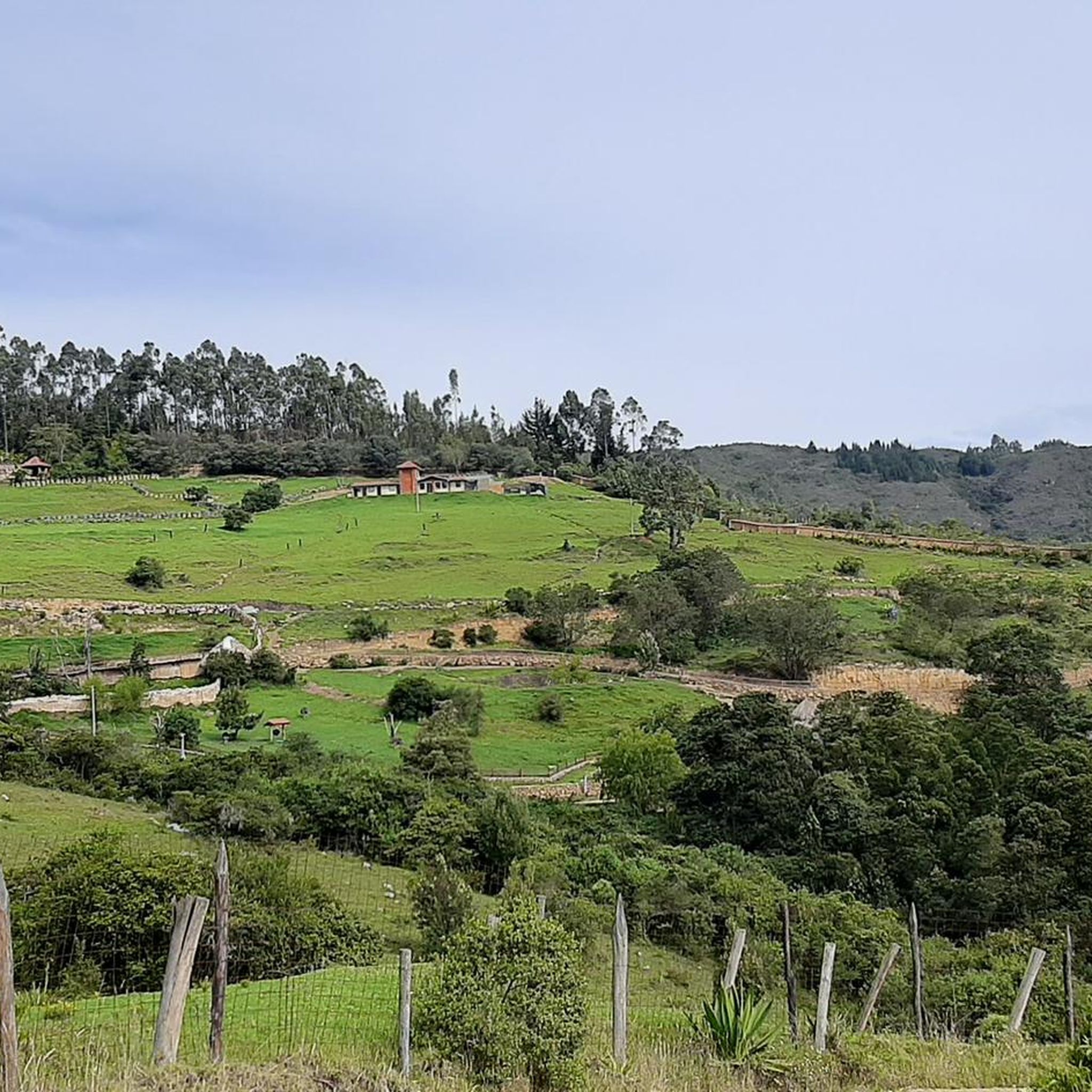
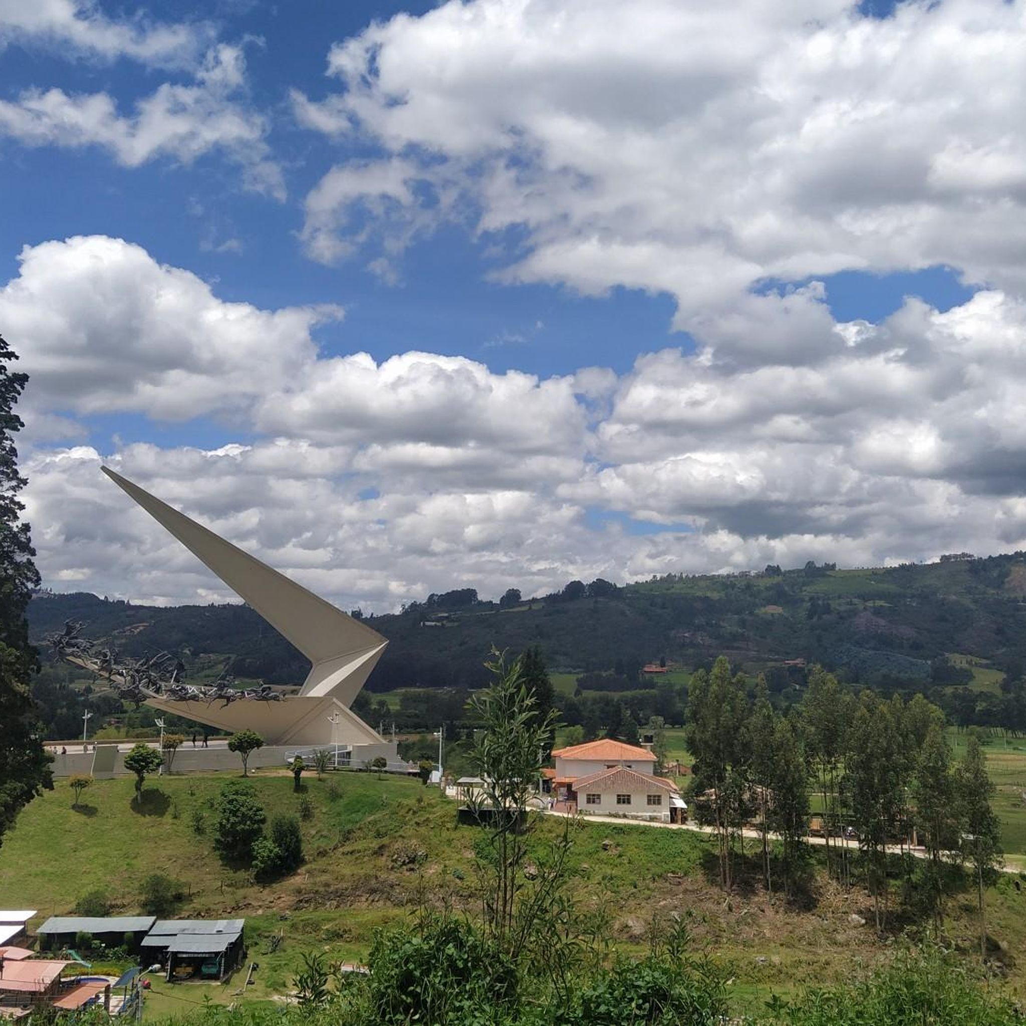

Tips from the Community

good route
0
0

Veradal road uncovered, crazy slopes.
0
0
Frequently Asked Questions
How many touring cycling routes are available in Ronda Hídrica Del Cauce Principal Del Rio Chicamocha?
There are over 95 touring cycling routes available in Ronda Hídrica Del Cauce Principal Del Rio Chicamocha, offering a wide range of options for different skill levels and preferences.
What makes touring cycling in Ronda Hídrica Del Cauce Principal Del Rio Chicamocha unique?
Touring cycling in this region is defined by the awe-inspiring Chicamocha Canyon, one of the largest in the world, with its deep geological depressions, arid landscapes, and unique rock formations. The routes often feature dramatic elevation changes and offer breathtaking views of the Chicamocha River flowing through the canyon's base.
What is the best time to visit Ronda Hídrica Del Cauce Principal Del Rio Chicamocha for touring cycling?
The region's climate, characterized by arid landscapes within the canyon, suggests that cooler, drier seasons would be ideal for touring cycling. It's best to check local weather forecasts closer to your planned visit to ensure comfortable conditions for riding.
How difficult are the touring cycling routes in Ronda Hídrica Del Cauce Principal Del Rio Chicamocha?
The routes vary significantly in difficulty. While there are 4 easy routes and 33 moderate routes, the majority (58) are classified as difficult. This means cyclists can find options ranging from less strenuous rides to challenging paths with significant elevation changes, such as the Dead Tree near Caños loop from Paipa.
Are there any easy touring cycling routes suitable for beginners?
Yes, there are 4 easy touring cycling routes available. These routes offer a gentler introduction to the region's landscapes, allowing beginners to enjoy the scenery without overly strenuous climbs. An example of a moderate route that might be suitable for those building experience is the Fuente Aguas termales loop from Paipa, which is 18.4 km long.
Are there challenging routes for experienced touring cyclists?
Absolutely. The region is well-suited for experienced touring cyclists, with 58 routes classified as difficult. These routes often feature significant elevation gains and cover longer distances, providing a substantial challenge. The Canutos loop from Paipa, for instance, is a difficult 111.7 km route with over 1700 meters of elevation gain.
What landmarks or viewpoints can I see along the touring cycling routes?
The region offers numerous spectacular viewpoints overlooking the Chicamocha Canyon. A major attraction is the Chicamocha National Park (Panachi), which features a cable car providing incredible panoramic views across the canyon. Various miradors (viewpoints) along the canyon also offer excellent photographic opportunities and places to appreciate the grandeur of the landscape.
Are there any circular touring cycling routes in Ronda Hídrica Del Cauce Principal Del Rio Chicamocha?
Yes, many touring cycling routes in the area are designed as loops, allowing you to start and end in the same location. Examples include the popular Canutos loop from Paipa and the Reserva Natural Montecito loop from Paipa, which offers varied terrain.
What do other touring cyclists enjoy the most about touring cycling in Ronda Hídrica Del Cauce Principal Del Rio Chicamocha?
The area is highly rated by the komoot community, with an average score of 4.8 stars from over 100 reviews. Reviewers often praise the awe-inspiring Chicamocha Canyon, the dramatic elevation changes, and the unique geological formations that provide a compelling backdrop for their rides. Many appreciate the diverse options for different ability levels.
Can I find routes that offer cultural immersion or visits to local villages?
While specific routes are not detailed for cultural stops, the broader Chicamocha Canyon region is known for bike tours that integrate opportunities to visit local villages and interact with the community. This adds a rich cultural dimension to the physical activity, allowing cyclists to experience local life alongside the natural beauty.
What kind of terrain should I expect on the touring cycling routes?
Expect varied terrain, often characterized by the arid landscapes and deep geological depressions of the Chicamocha Canyon. Routes can range from smoother paths to more rugged sections, with significant elevation changes being a common feature due to the canyon's dramatic topography. The protective strip along the Chicamocha River also contributes to diverse riparian ecosystems.
Are there any specific permits required for cycling in Ronda Hídrica Del Cauce Principal Del Rio Chicamocha?
The 'Ronda Hídrica' is a protected strip along the river, established for conservation. While general cycling on established routes typically doesn't require specific permits, it's always advisable to check with local authorities or park management, especially if planning to venture into particularly sensitive or restricted areas. For general information about the Chicamocha River's protection, you can refer to resources like this resolution.
Most popular routes in Ronda Hídrica Del Cauce Principal Del Rio Chicamocha

Get inspired with the komoot mobile app


Explore more
Browse the best Cycling routes in other regions.
