The best MTB trails in Ronda Hídrica Del Cauce Principal Del Rio Chicamocha
4.8
(664)
2,225
riders
212
rides
Mountain bike trails in Ronda Hídrica Del Cauce Principal Del Rio Chicamocha traverse a region defined by the Chicamocha River and its canyon, a significant natural landmark in the Eastern Cordillera of the Andes. The terrain features dramatic landscapes with varied surfaces, including paved and unpaved sections, suitable for mountain biking. Riders encounter significant elevation changes across jagged mountain spires and sunbaked ravines. This area offers a diverse environment for mountain biking, from river basins to higher elevations.
Best mountain…
Last updated: July 1, 2026
5.0
(11)
25
riders
44.5km
02:38
310m
310m
Moderate mountain bike ride. Good fitness required. Suitable for all skill levels.
5.0
(1)
20
riders
Moderate mountain bike ride. Good fitness required. Suitable for all skill levels.

Sign up for free
5.0
(3)
13
riders
49.7km
04:10
1,010m
1,010m
Hard mountain bike ride. Very good fitness required. Suitable for all skill levels.
5.0
(2)
10
riders
Moderate mountain bike ride. Good fitness required. Suitable for all skill levels.
5.0
(1)
12
riders
25.2km
01:41
390m
390m
Moderate mountain bike ride. Good fitness required. Suitable for all skill levels.
Get access to more routes and recommendations from other explorers.
Sign up for free
Already have an account?
Our route recommendations are based on thousands of hikes, rides, and runs completed by other people on komoot.
Start today with a free account
Your next adventure awaits.
Login or Signup
Popular around Ronda Hídrica Del Cauce Principal Del Rio Chicamocha
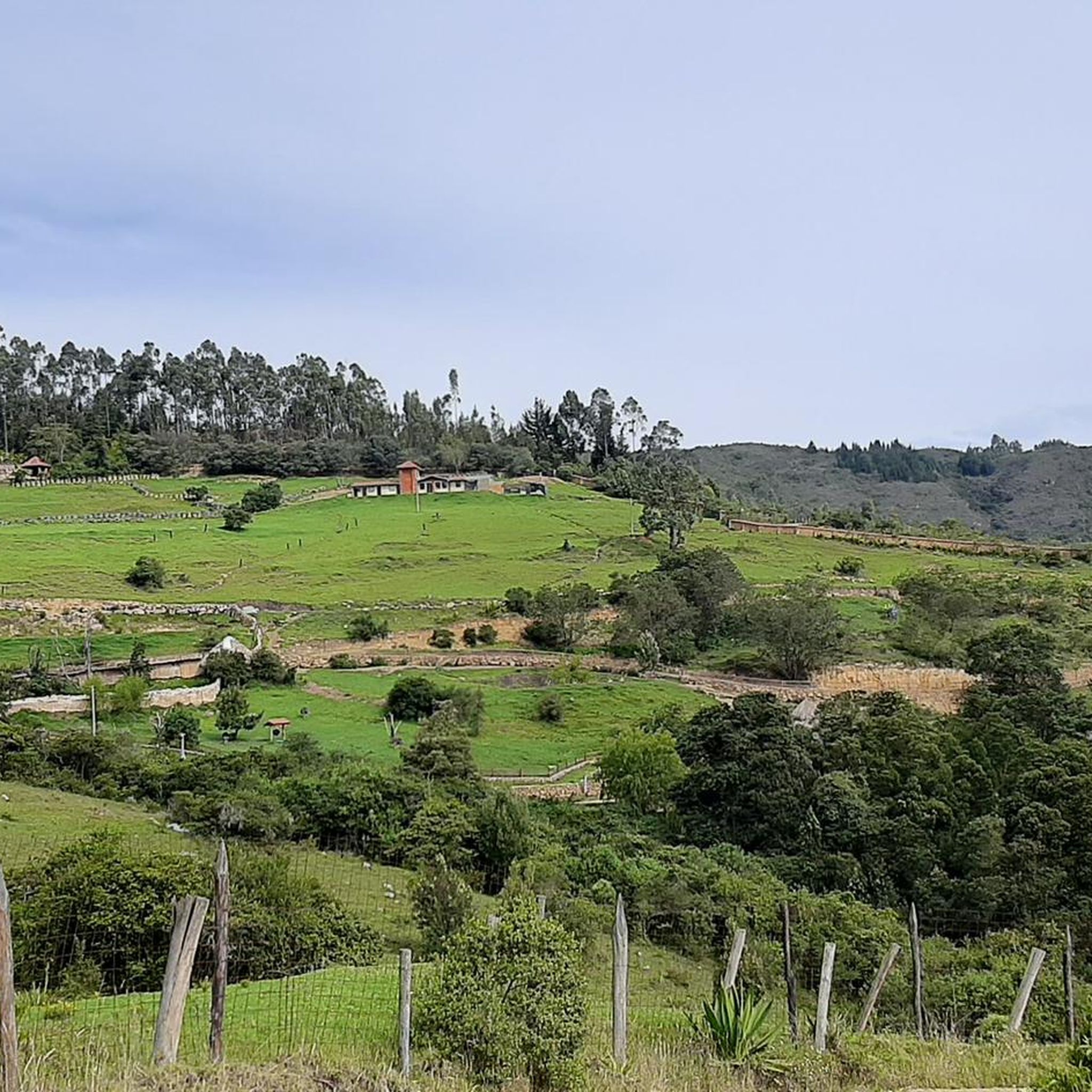
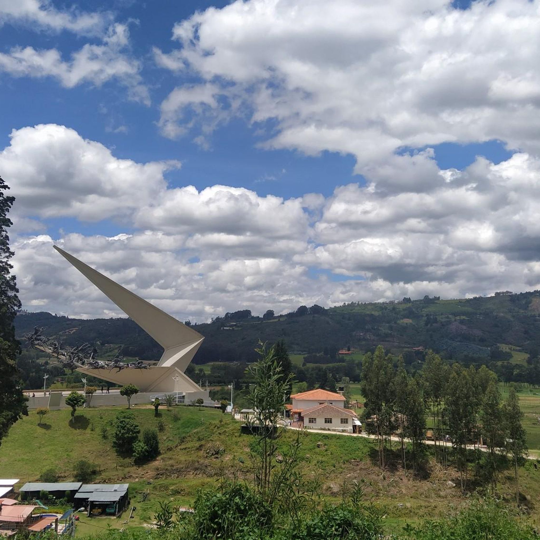

Tips from the Community

Public school in Paipa. Next to the paved road.
0
0
Public hot spring pools.
0
0
Detour point to the Delfín and Playa public swimming pools. Paved ground.
0
0
Crossroads with the road that leads to the Pantano de Vargas. To the south west it leads to 4 Esquinas to the north east it leads to the hill of Guatika
0
0
El Laguito Park and Iwoka Shopping Center. Meeting point for rides.
0
0
Reference point for taking Tibasosa, Nobsa or Duitama. National Highway N6
0
0
Church to the Virgin of the "O" of Morcá. Located in the eastern sector of Sogamoso. From Mochacá there is a paved road in perfect condition. Since the ramada is mostly unpaved. Massively frequented by pilgrims on the first Saturday of each month.
0
0
Frequently Asked Questions
How many mountain bike trails are available in Ronda Hídrica Del Cauce Principal Del Rio Chicamocha?
There are over 200 mountain bike trails in the Ronda Hídrica Del Cauce Principal Del Rio Chicamocha region, offering a wide variety of options for different skill levels.
What are the typical terrain and elevation changes like on mountain bike trails in this region?
The terrain in Ronda Hídrica Del Cauce Principal Del Rio Chicamocha is characterized by dramatic landscapes, including the spectacular Chicamocha Canyon with its jagged mountain spires and sunbaked ravines. Trails feature varied surfaces, from paved to unpaved and technical sections, with significant elevation changes that can demand a high level of physical fitness. You'll find routes traversing river basins and climbing to higher elevations.
Are there mountain bike trails suitable for beginners?
Yes, the region offers trails for various ability levels. While many routes involve significant elevation, there are 16 easy mountain bike trails available, providing options for those new to the sport or looking for a less strenuous ride.
What kind of natural features and landmarks can I expect to see while mountain biking here?
The primary natural feature is the breathtaking Chicamocha Canyon and the Chicamocha River itself, offering cinematic panoramas. You'll encounter jagged mountain spires, sunbaked ravines, and diverse drought-resistant flora. The region is part of the Eastern Cordillera of the Andes, providing stunning Andean landscapes throughout your ride. The Chicamocha River is a central element of the area's natural beauty.
Are there any circular mountain bike routes in Ronda Hídrica Del Cauce Principal Del Rio Chicamocha?
Yes, many mountain bike routes in the region are circular, allowing you to start and end your ride at the same point. For example, the Hotel Panorama Paipa – Cruz de Murcia School loop from Paipa is a popular moderate circular route covering 44.5 km.
What do other mountain bikers say about the trails in Ronda Hídrica Del Cauce Principal Del Rio Chicamocha?
The mountain bike trails in this region are highly rated by the komoot community, with an average score of 4.8 stars from over 600 reviews. Riders often praise the diverse terrain, the challenging climbs, and the stunning views of the Chicamocha Canyon and Andean landscapes.
What is a good moderate mountain bike trail to try in the area?
A great moderate option is the La Ramada–Morcá Road – Altar of the Virgin of Morcá loop from Cementos Argos. This 17.4 km route offers varied terrain and typically takes about 1 hour 18 minutes to complete.
Are there any challenging mountain bike trails for experienced riders?
Absolutely. For experienced riders seeking a challenge, the Finca Villa Alicia – Curies Summit loop from Paipa is a difficult 49.7 km trail with significant elevation gain, often completed in around 4 hours 10 minutes. There are 56 difficult trails in total for advanced mountain bikers.
Is public transport available to access mountain bike trails in Ronda Hídrica Del Cauce Principal Del Rio Chicamocha?
Information regarding specific public transport access points for individual mountain bike trails is not detailed within this guide. We recommend checking the details of specific tours on komoot, as some may include notes on accessibility, or researching local transport options to nearby towns like Paipa or Cementos Argos, which serve as starting points for several routes.
What is the best time of year for mountain biking in this region?
Given the region's characteristic sunbaked ravines and drought-resistant flora, the area generally experiences dry conditions. While specific seasonal recommendations are not provided, drier periods are typically more favorable for mountain biking, offering better trail conditions and clearer views of the dramatic landscapes. Always check local weather forecasts before heading out.
Are there any specific permits required for mountain biking in Ronda Hídrica Del Cauce Principal Del Rio Chicamocha?
There is no indication in the provided information that specific permits are required for mountain biking on the general trails within the Ronda Hídrica Del Cauce Principal Del Rio Chicamocha. However, it's always advisable to respect local regulations and private property signs. For more information on the environmental protection of the river basin, you can refer to resources like this link.
Can I find mountain bike routes that offer views of Lago Sochagota?
Yes, some routes in the area provide views of local landmarks like Lago Sochagota. For instance, the Cruz de Murcia School – Lago Sochagota loop from Paipa is a moderate 25.2 km trail that includes this scenic lake.
Most popular routes in Ronda Hídrica Del Cauce Principal Del Rio Chicamocha

Get inspired with the komoot mobile app


Explore more
Browse the best MTB trails in other regions.
