The best road cycling routes in Ronda Hídrica Del Cauce Principal Del Rio Chicamocha
4.7
(194)
2,776
riders
59
rides
Road cycling routes in Ronda Hídrica Del Cauce Principal Del Rio Chicamocha traverse a landscape dominated by the Chicamocha Canyon, one of the world's largest canyons, reaching depths of up to 2,000 meters. The region features dramatic geological formations carved by the Chicamocha River, with arid vegetation contrasting against rugged rock formations. Cyclists can expect challenging terrain with significant altitude changes, including demanding ascents and descents across its high-altitude environment.
Best road cycling routes in Ronda Hídrica Del Cauce Principal…
Last updated: July 15, 2026
5.0
(69)
302
riders
108km
05:18
1,260m
1,260m
Hard road ride. Very good fitness required. Mostly well-paved surfaces and easy to ride.
5.0
(2)
103
riders
64.2km
03:18
760m
760m
Moderate road ride. Good fitness required. Mostly well-paved surfaces and easy to ride.

Sign up for free
85
riders
126km
08:37
1,460m
1,460m
Hard road ride. Very good fitness required. Some segments of this route may be unpaved and difficult to ride.
5.0
(1)
43
riders
131km
07:06
2,050m
2,050m
Hard road ride. Very good fitness required. Some segments of this route may be unpaved and difficult to ride.
3.3
(3)
13
riders
28.0km
01:25
80m
80m
Easy road ride. Great for any fitness level. Mostly well-paved surfaces and easy to ride.
Get access to more routes and recommendations from other explorers.
Sign up for free
Already have an account?
Our route recommendations are based on thousands of hikes, rides, and runs completed by other people on komoot.
Start today with a free account
Your next adventure awaits.
Login or Signup
Popular around Ronda Hídrica Del Cauce Principal Del Rio Chicamocha
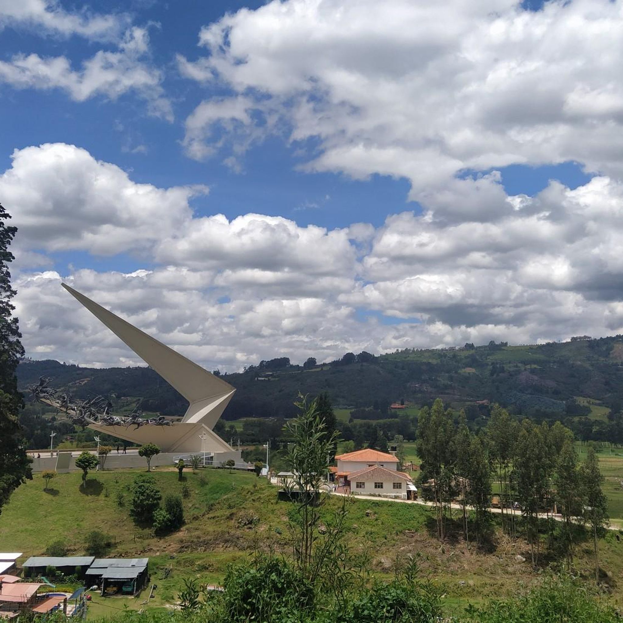

Tips from the Community

I did it by diverting onto an unpaved route from Santa Rosa de Viterbo, a good option if you want to avoid traffic on the main road, however, it is recommended on MTB or Gravel.
0
0

Central park with a beautiful cathedral in the center of Bethlehem.
0
0
Summit between the municipalities of Santa Rosa de Viterbo and Belén. Elevation close to 3000 meters above sea level
0
0
Beautiful park in the municipality of Belén.
0
0
Beautiful enclave where pilgrimages are regularly held to the Virgin of the Tiestecitos of Tutazá
0
0
Stop between the municipalities of Santa Rosa de Viterbo and Cerinza. Elevation 2974 meters above sea level.
0
0
Representative place where you can find several establishments that offer mojicones, mantecadas, genoas and other culinary foods of the region.
0
0
Playground in the Villa del Rosario sector. There are gym type machines.
0
0
Frequently Asked Questions
How many road cycling routes are available in Ronda Hídrica Del Cauce Principal Del Rio Chicamocha?
There are over 60 road cycling routes in Ronda Hídrica Del Cauce Principal Del Rio Chicamocha, offering a wide range of options for different skill levels. The komoot community has rated these routes highly, with an average score of 4.7 stars.
What kind of terrain can I expect on road cycling routes in the Chicamocha Canyon region?
Road cycling in the Chicamocha Canyon region is characterized by challenging terrain, including demanding ascents and descents. The routes traverse a high-altitude environment with dramatic geological formations and arid vegetation, offering significant altitude changes and breathtaking views.
Are there any easy road cycling routes suitable for beginners?
Yes, while many routes are challenging, there are options for beginners. For example, the El Guiol Grocery Store loop from Hacienda San Rafael is an easy route, covering about 28 km with minimal elevation gain, making it a good starting point.
Which routes offer the most significant elevation gain for a challenging ride?
For a significant challenge, consider routes like the Alto del Portachuelo – Alto de Tobasía loop from Paipa, which features over 2,300 meters of elevation gain over 141 km. Another demanding option is the Lake Tota – La Cascajera Pass loop from Paipa, with nearly 1,460 meters of ascent.
What are some notable natural features or viewpoints along the road cycling routes?
The region is defined by the immense Chicamocha Canyon, one of the world's largest. Cyclists will encounter dramatic geological formations carved by the Chicamocha River. Many routes offer panoramic viewpoints along the canyon rim, providing majestic vistas of the river and the vast canyon, perfect for scenic stops.
What is the best time of year for road cycling in Ronda Hídrica Del Cauce Principal Del Rio Chicamocha?
The Chicamocha Canyon benefits from a pleasant, dry climate year-round, with temperatures generally ranging from 11°C to 32°C. This stable weather makes it conducive for outdoor pursuits, including road cycling, throughout the year.
Are there any circular road cycling routes available?
Yes, many routes in the region are designed as loops. Examples include the challenging Gámeza Canyon Climb – Alto de Tobasía loop from Paipa and the moderate Garden View in Colombia – Alto del Portachuelo loop from Paipa, both offering varied scenery and returning to the starting point.
What do other road cyclists enjoy most about cycling in this region?
The komoot community rates road cycling in Ronda Hídrica Del Cauce Principal Del Rio Chicamocha very highly, with an average score of 4.7 stars from over 360 reviews. Cyclists frequently praise the dramatic canyon views, the challenging mountain passes, and the unique experience of riding through winding river valleys.
Is the region suitable for family-friendly road cycling?
While many routes feature challenging ascents and descents, there are easier options available. Families with older children or those seeking less strenuous rides can look for routes categorized as 'easy' or 'moderate' with lower elevation gains, such as the El Guiol Grocery Store loop from Hacienda San Rafael.
Are there any specific routes that showcase the Chicamocha River prominently?
Many routes in the region offer views of the Chicamocha River as it winds through the canyon floor. The dramatic landscape carved by the river is a constant backdrop, and routes that traverse the canyon, such as those along National Route 45A, provide spectacular sights of the river and its immense scale.
Most popular routes in Ronda Hídrica Del Cauce Principal Del Rio Chicamocha

Get inspired with the komoot mobile app


Explore more
Browse the best Road cycling routes in other regions.
