The best road cycling routes around Horrenbach-Buchen
4.5
(1040)
22,702
riders
165
rides
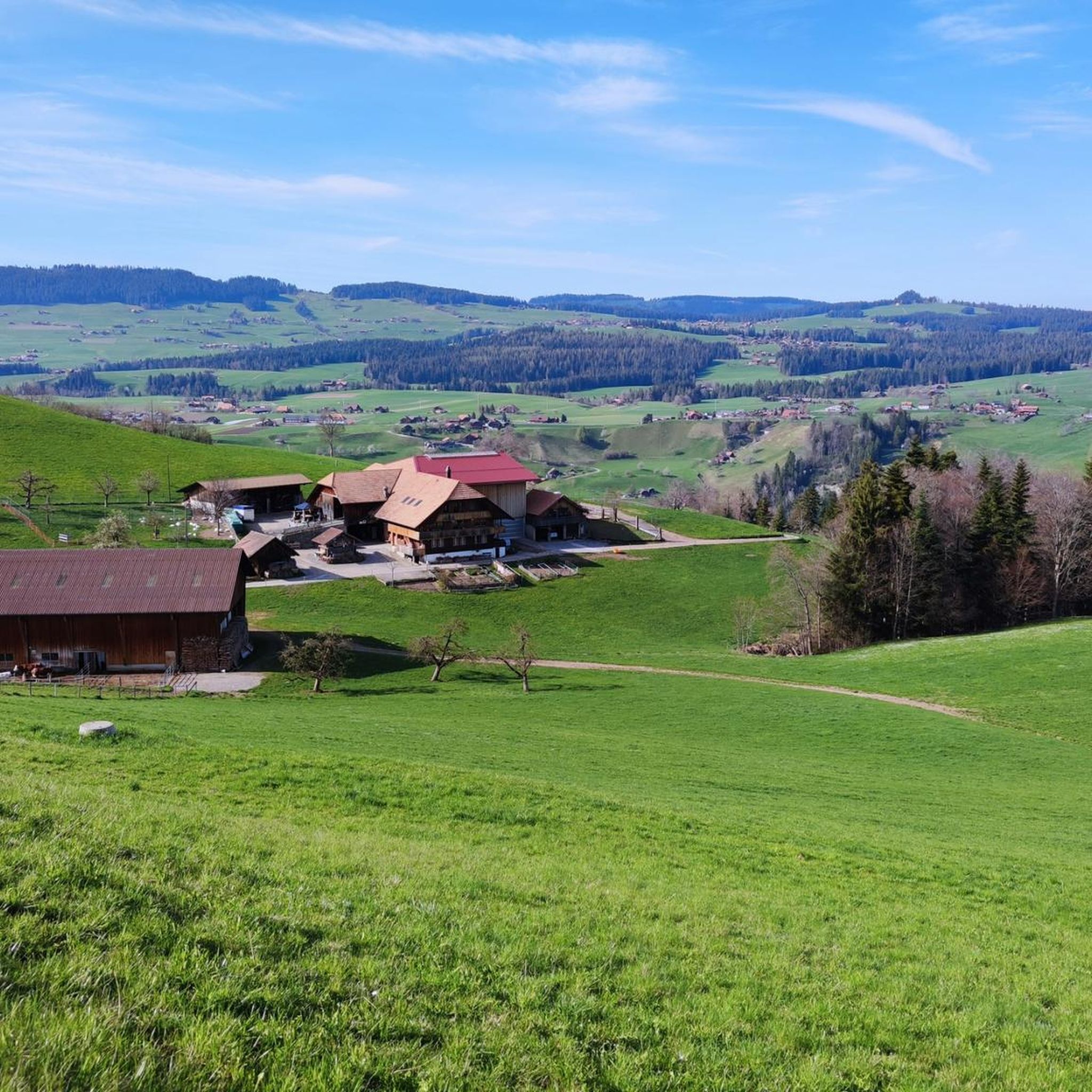
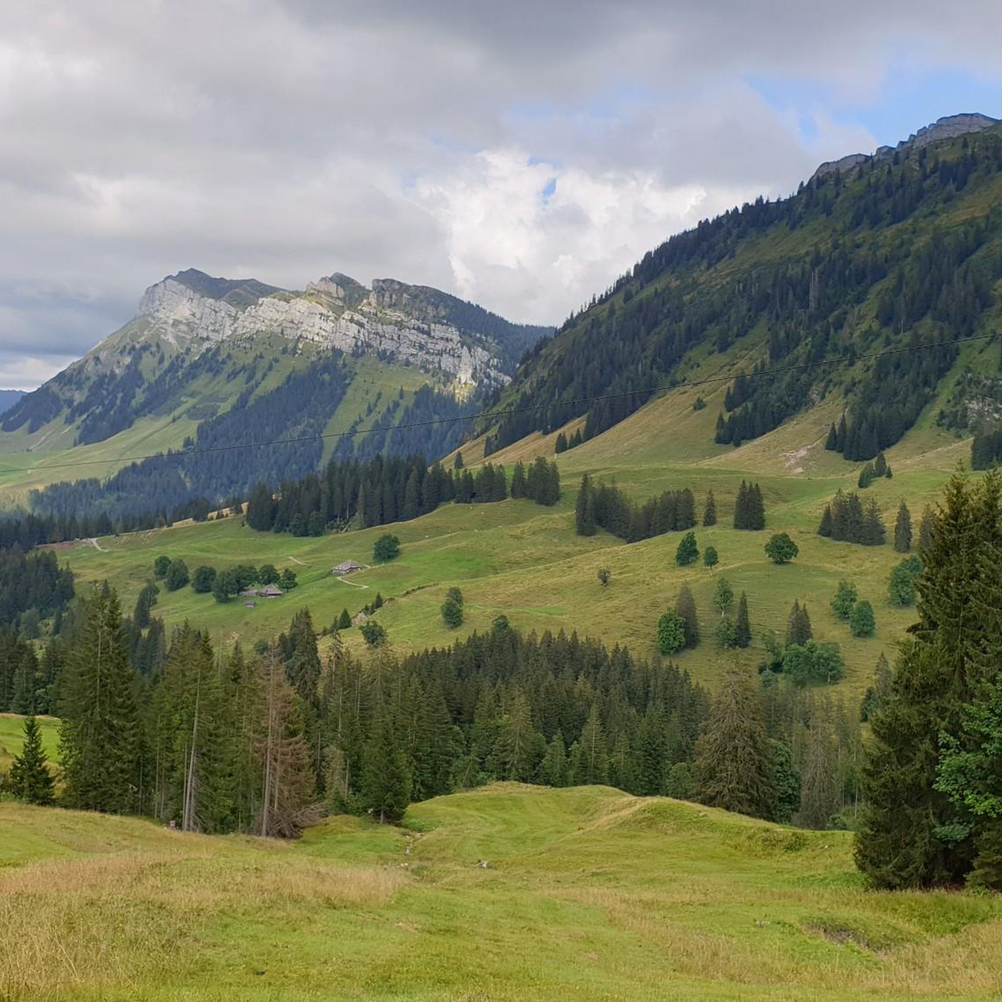
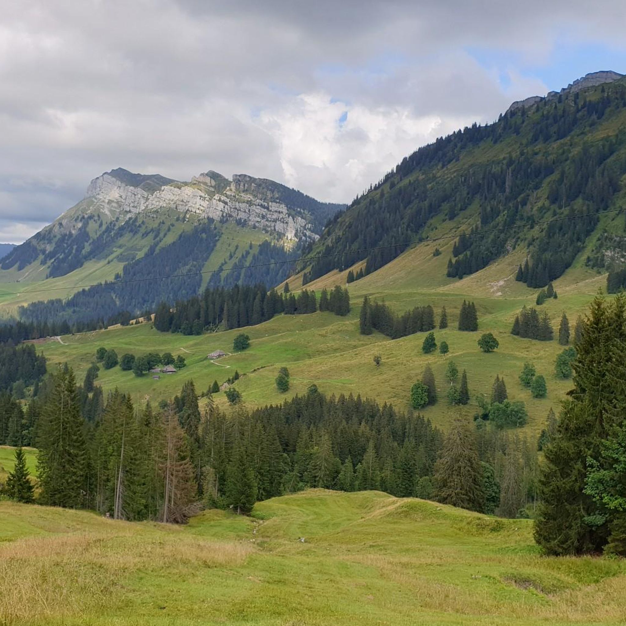
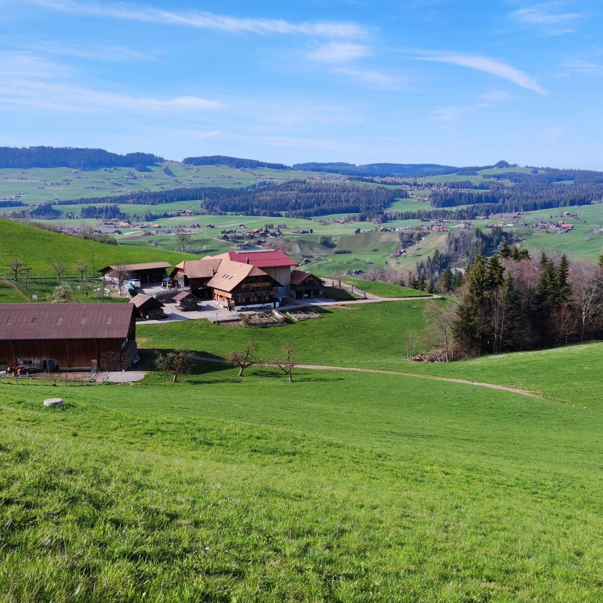
Road cycling around Horrenbach-Buchen offers diverse terrain within the Bernese Oberland, characterized by deeply forested areas, idyllic valleys like the Eriztal, and expansive alpine pastures. The region features varied topography, including both gentle valley roads and challenging ascents into the mountains. Cyclists can experience comprehensive panoramic views of Lake Thun and the Bernese Alps, including peaks like the Eiger, Mönch, and Jungfrau. Proximity to Lake Thun and Lake Brienz provides picturesque routes along their shores.
Best road cycling routes around…
Last updated: October 11, 2026
5.0
(5)
115
riders
25.2km
01:05
170m
170m
Easy road ride. Great for any fitness level. Mostly well-paved surfaces and easy to ride.
4.4
(15)
511
riders
36.7km
01:47
470m
470m
Moderate road ride. Good fitness required. Mostly well-paved surfaces and easy to ride.

5.0
(1)
23
riders
25.4km
01:12
340m
340m
Moderate road ride. Good fitness required. Mostly well-paved surfaces and easy to ride.
32
riders
32.0km
02:07
770m
770m
Moderate road ride. Good fitness required. Mostly well-paved surfaces and easy to ride.
16
riders
34.8km
01:41
340m
350m
Moderate road ride. Good fitness required. Mostly well-paved surfaces and easy to ride.
Get access to more routes and recommendations from other explorers.
Already have an account?
Our route recommendations are based on thousands of hikes, rides, and runs completed by other people on komoot.
Start today with a free account
Your next adventure awaits.
Tips from the Community

Special screening: Journey into the underworlds of the Bernese Oberland, an exciting film https://sternwarte-planetarium.ch/veranstaltung/spezialvorfuehrung-reise-in-die-unterwelten-des-berner-oberlands/ https://www.upsidedown360.ch/
0
0

The train station bridge connects the new districts of Thun with the old town. The view downstream towards the Scherzlig lock is particularly beautiful. The bridge is often decorated with flags and flowers.
0
0


The road between Schwarenegg and Kreuzweg has a few rough spots but nothing dramatic, just keep your eyes open during the descent. This area is unique at it is very flat, looking like one is somewhere on a very flat surface.
0
0
The asphalted pavement from Kreuzweg is in very good smooth condition and always offering spectacular view to please the eye. Don’t descent too quickly as one will miss the views.
0
0

A super flat route. However, if you approach from the gravel side, you'll mostly be riding against the wind.
0
0

Parking is subject to a fee... you can pay conveniently with Twint, for example... and it is right at the entrance
1
0

Thierachern is a municipality in the Swiss canton of Bern. It belongs to the administrative district of Thun. It is located just under five kilometers from Thun's city center. Thierachern does not have a specific village center, but is divided into five subdivisions (Wahlen, Dorf, upper, middle, and lower Schwand, and Brügg).
1
0
Frequently Asked Questions
How many road cycling routes are available around Horrenbach-Buchen?
There are over 170 road cycling routes in the Horrenbach-Buchen region, offering a wide variety of options for different skill levels. You'll find approximately 37 easy routes, 100 moderate routes, and 35 challenging routes to explore.
What kind of terrain can I expect on road cycling routes in Horrenbach-Buchen?
The Horrenbach-Buchen region, nestled in the Bernese Oberland, offers incredibly diverse terrain. You can expect deeply forested areas, idyllic valleys like the Eriztal, expansive alpine pastures, and challenging ascents into the mountains. Routes often feature a mix of smooth valley roads and demanding climbs, providing a varied cycling experience.
Are there road cycling routes with panoramic views in the Horrenbach-Buchen area?
Absolutely! Many routes in the Horrenbach-Buchen area offer comprehensive panoramic views. Cyclists can enjoy breathtaking vistas of Lake Thun and the majestic Bernese Alps, including iconic peaks like the Eiger, Mönch, and Jungfrau, especially from elevated points like the Niederhorn. The View of the Jungfrau – View of Niesen and Lake Thun loop from Oberhofen is a great example, showcasing stunning mountain and lake scenery.
What do other road cyclists say about the routes in Horrenbach-Buchen?
The road cycling routes around Horrenbach-Buchen are highly rated by the komoot community, with an average score of 4.5 stars from nearly 800 reviews. Cyclists frequently praise the diverse terrain, the stunning panoramic views of the Bernese Alps and Lake Thun, and the well-maintained infrastructure that makes for a rewarding experience.
Are there any easy road cycling routes suitable for beginners or a more relaxed ride?
Yes, the region offers several easy road cycling routes. An excellent option for a relaxed ride is the Steffisburg train station – China Höck Restaurant loop from Fahrni. This easy 25.2 km route features a moderate elevation gain of 173 meters and takes approximately 1 hour and 5 minutes to complete.
Can I find road cycling routes that pass by lakes in Horrenbach-Buchen?
Yes, the proximity to Lake Thun and Lake Brienz means many routes offer picturesque cycling experiences along their shores. The View of the Jungfrau – View of Niesen and Lake Thun loop from Oberhofen is a moderate route that provides stunning views of Lake Thun and the surrounding mountains.
Are there any notable landmarks or attractions along the road cycling routes?
Yes, the region is rich in natural beauty and cultural landmarks. You can cycle past historic sites like Oberhofen Castle, or explore natural wonders. The Eriz Valley and Justistal are also beautiful areas to cycle through, offering unique natural features.
What are some challenging road cycling routes for experienced cyclists?
For experienced cyclists seeking a challenge, the region offers routes with significant elevation gains. The Sirius Observatory and Planetarium loop from Heiligenschwendi is a moderate route with a substantial climb of over 770 meters, providing a good test of endurance and rewarding views.
Are there any circular road cycling routes in the Horrenbach-Buchen area?
Yes, many road cycling routes in the Horrenbach-Buchen area are designed as loops, allowing you to start and end at the same point. Examples include the Röthenbach Shooting Clubhouse – Jassbach Hillside loop from Fahrni, which offers varied terrain over 25.4 km.
What is the best time of year for road cycling in Horrenbach-Buchen?
The best time for road cycling in Horrenbach-Buchen is generally from spring through autumn. During these seasons, the weather is more favorable, and the alpine passes are typically clear of snow, allowing access to the full range of routes and stunning mountain panoramas.
Can I find places to eat or rest along the road cycling routes?
Yes, the region has various options for refreshments. You can find charming country inns like the Kemmeriboden Bad Country Inn or mountain huts such as Alpbeizli Imbrig, which are often located along or near popular routes, perfect for a break and a meal.
Are there any gorges or natural wonders to see while road cycling?
Yes, the area features impressive natural gorges. You can encounter sights like the Cholerenschlucht Gorge or the Justistal, which is also a gorge, offering dramatic scenery to complement your ride. The Strättligsteg footbridge over the Kander River also provides views of the Kander Gorge.
Most popular routes around Horrenbach-Buchen
Most popular attractions around Horrenbach-Buchen

Get inspired with the komoot mobile app


Explore more
Browse the best Road cycling routes in other regions.
